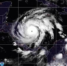
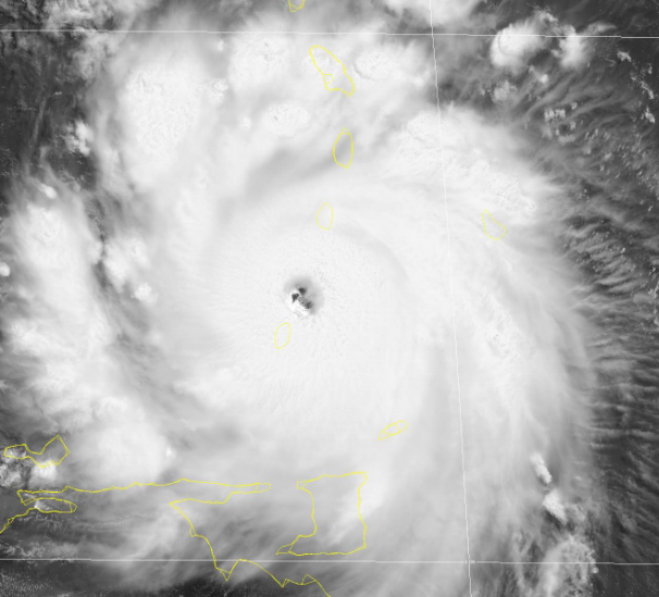
Today marks the end of the #2020HurricaneSeason. 2020 produced a record breaking 30 named storms ending with #Iota which slammed Central America just after #Eta. #Laura was the most devastating to the U.S. as a cat 4 landfall in #Louisiana. We will see what December brings now...
Appreciative for the opportunity to present my latest work at the @ametsoc Conference on Hurricanes and Tropical Meteorology. Looking forward for what’s next to come.
Special thanks to @MikeFischerWx@MiamiRosenstiel@NOAA_AOML without them this wouldn’t have been possible.
Very grateful to work with such an amazing group of students at @MiamiRosenstiel. They all did a fantastic job presenting their research at the @AMSTropical meeting!
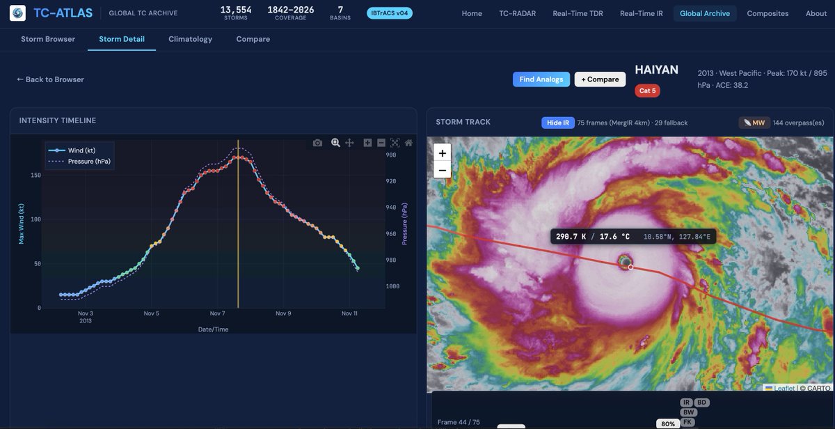
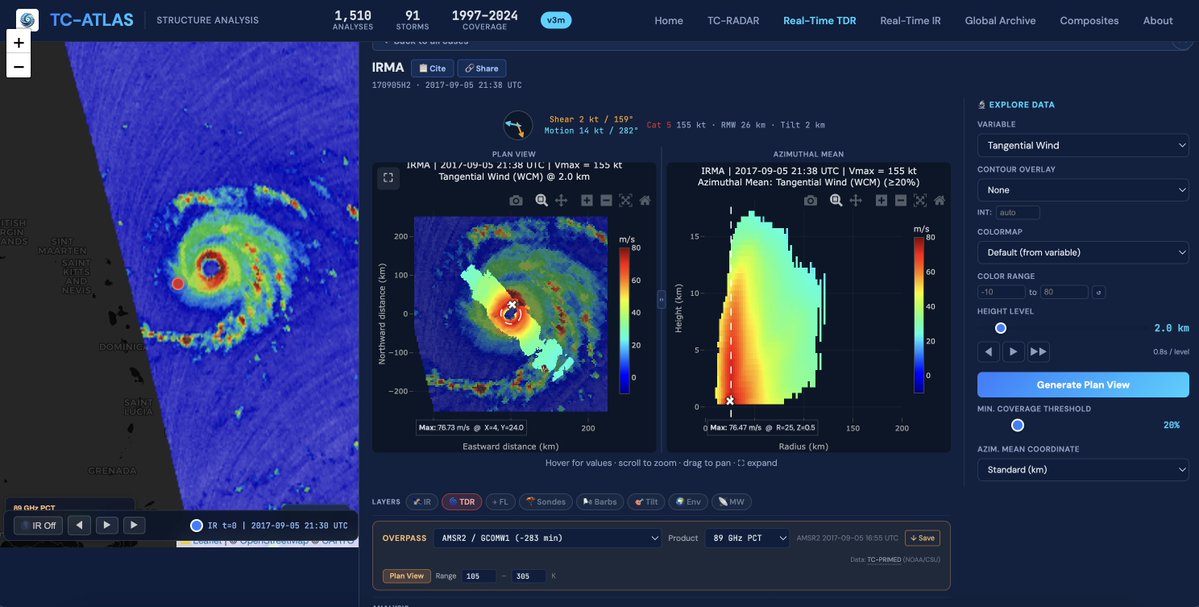
Interested in hurricanes? I want to introduce TC-ATLAS: the Tropical Cyclone Analysis Tool for Live and Archived Structure. Explore live or past storms without writing a line of code or downloading a data file, building on the capabilities of TC-RADAR: https://t.co/TR53wLxqxP
Thank you @ametsoc for the opportunity to present my hurricane research at AMS. Always grateful for the conversations and connections.
Looking forward to what’s next!
Nice work by @WxBouza, @WxTca, and Matt on refining a machine learning model to estimate TC vortex tilt from IR satellite imagery! It has been a pleasure working with them over the last 1.5 years. Hopefully we will have a paper submitted soon. :)
The official NOAA "budget request" to Congress (which is a detailed version of the "President's Budget" would be devastating, and basically end all research and development.
Purportedly, the proposal moves a lot of weather research and development under NWS, but doing so while eliminating the labs themselves and the CIs would get rid of most of the people and infrastructure that does this critical work.
Fortunately, Congress has the final say on this, so I recommend pressuring your Senators and representatives to step in and continue allocating NOAA the resources to pursue life-saving research.
#Hurricane#Helene is now a Category 4 hurricane with max winds of 130 mph. If it maintains that intensity until landfall, it would be the first Cat. 4+ hurricane on record to make landfall in Florida's Big Bend on record (since 1851). Prior record - Cedar Key (1896) - 125 mph.
Thanks, Tomer for putting together this great tool! I also want to caution folks from making inferences of TC motion solely from satellite imagery. Things like parallax and vortex tilt can lead to faulty conclusions. Aircraft fixes of the low-level center are much more reliable.
UPDATE:
Be careful with what you see — what appears to be the center on visible isn’t necessarily the true center of circulation!
I added recon VDM dots to show where the observed circulation center is, and it’s west of the visible eye.
Thanks @MikeFischerWx for the idea!
Colorado State University has increased forecast & calls for extremely active 2024 Atlantic #hurricane season with 25 named storms (including Alberto, #Beryl, Chris), 12 hurricanes & 6 major hurricanes. Very warm Atlantic continues, while #LaNina likely.
https://t.co/y3q5SmEuyo
For the first time in the satellite era (1966-onwards), the entire North Pacific (e.g., western North Pacific, central North Pacific, eastern North Pacific) has had no named storm (e.g., tropical storm or #hurricane) activity from June 1 - July 3.
[Tuesday, 7/2/2024] Beryl forecast discussion
Hurricane Beryl has weakened from its category 5 peak due to increased vertical wind shear, but remains a powerful & dangerous category 4 hurricane.
This thread reviews its forecast for Jamaica, Yucatan & the US/Mexico Gulf coast.
#Hurricane#Beryl has intensified to a Category 5 hurricane with max winds of 160 mph - the earliest calendar year Atlantic Category 5 hurricane on record. The prior record was Hurricane Emily on July 17, 2005 at 0UTC.
Record-breaking Hurricane #Beryl has made landfall on Carriacou Island (Grenada) at category 4 strength. Catastrophic winds and life-threatening storm surge will hit Caribbean islands in its path, says @NHC_Atlantic
https://t.co/nr1pQlRTJx