At #XPO26, XYHT is bringing together leaders from across the geospatial ecosystem for a practical discussion on what it actually takes to deliver reliable, survey-grade outcomes.
Surveying & Mapping End-User Workshop
📍 XPONENTIAL Detroit
🗓 Tuesday, May 12
🕐 1 PM | Rm 250B/C
Join XYHT at #XPO26 in Detroit for a focused discussion on what it takes to turn drone data into reliable, survey-grade deliverables.
Surveying & Mapping End-User Workshop
May 12 | 1 PM
Xponential, Detroit, MI | Room 250B/C
Construction sites are saturated with radios—creating RF environments that are often hostile to precision positioning. When GNSS performance degrades, many issues originate closer than expected: at the antenna.
Clean signals = better productivity.
https://t.co/FQ1uhHQlKX
The National Spatial Reference System is moving beyond NAD 83 and NAVD 88. New reference frames, a new vertical datum and SPCS2022 are emerging as NGS rolls out modernization through 2026.
Read More: https://t.co/56pY5LFYOA
Over the past decade, #geomatics has evolved from a focus on measurement precision to workflow execution. With bigger data, tighter timelines & overlapping survey/GIS/construction tasks, the real differentiator is seamless field-to-office integration.
https://t.co/6d6Uhinphz
Trust at 165 MPH: What Endurance Racing Teaches Us About Precision, Performance, and Continuous Improvement
See how advanced platforms, dense sensor stacks, and software-driven performance are validated under sustained competitive pressure:
https://t.co/SRqfQgrnF2
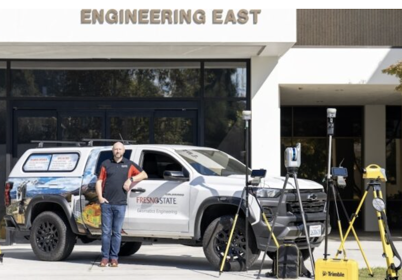
Building the next generation of geomatics professionals is about more than filling roles—it’s about modern skills and workflows. See how Fresno State, Trimble, and CSDS are helping close the gap: https://t.co/MoKaBzNcSq
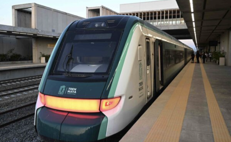
Technology That Tracks
A singular railway system provides a linear path from construction to maintenance on the Tren Maya. @motaengil
Read more: https://t.co/ND9ypXtIfR
Beyond the Science Project: Productizing the Future of Sensor Fusion
@FixpositionAG's xFusion and Vision-RTK 2 keep centimeter-level positioning alive under trees, near buildings, and indoors. Find out more: https://t.co/1Nklbseva7
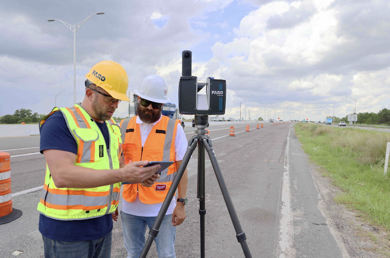
With 20 years of terrestrial laser scanning, @FARO_TechInc is showing how mass data, AI-ready point clouds, and digital twins are shaping the next wave of GIS for managing infrastructure at scale.
Read more: https://t.co/DPuzaROusm
Maps helped win a landmark ecocide case. GIS analysis and satellite imagery exposed the truth—and set a new precedent for environmental justice.
Read more: https://t.co/CHaP72NXS0
Efficient aerial mapping starts with sensor geometry. In this interview, @vexcel_imaging CEO Alexander Wiechert explains the move from film scanners to large-format digital systems and the photogrammetric principles behind them. Read more: https://t.co/nDXVPTg0IP
Accuracy isn’t a feature—it’s the foundation.
Inside Trimble’s strategy for subscription-based performance and data confidence.
@TrimbleApplanix
Read more: https://t.co/CqmTX1kjXA
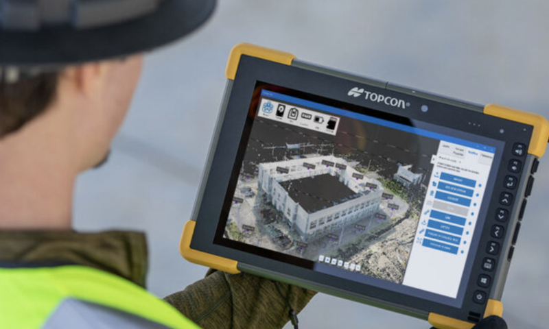
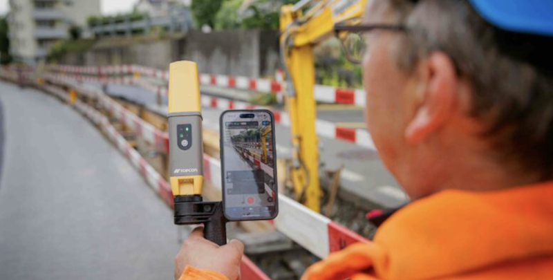
The built world is becoming digital, and digitalization demands truth.
For Topcon, that truth comes from precision—not novelty, not convenience, but accuracy as the foundation for reliable decisions.
Read More: https://t.co/2N29CTNJLN
@topcon_today
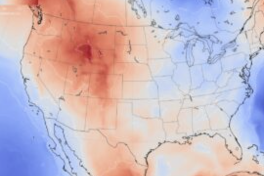
Wildfire response increasingly depends on location intelligence.
In Southern California, sheriff’s departments across Orange, Riverside, and San Bernardino Counties are using GIS-powered mobile apps to accelerate evacuations and improve public safety.
https://t.co/pXPkK0NJa5
Survey-grade RTK has long been defined by cost and complexity.
GEO-MEASURE changes that by combining professional-grade hardware with built-in RTK corrections in a turnkey solution priced for broader access.
Find out more: https://t.co/BkQqbbLe16
Topcon is charting a path that places geomatics at the center of its next phase—positioning it as a driver of innovation, integration, and long-term growth.
Find out more: Inside Topcon 2.0 and The Next Frontier in Geomatics ➡️ https://t.co/cOv2VQzpYl
If you’re thinking that this is just another total station, you might be pleasantly surprised by the following look under the hood: https://t.co/sptAwjvokD
In an extended conversation with xyHt, Jack Dangermond, founder and CEO of Esri, shared not just technical observations but a sweeping vision for the future of GIS. @Esri
Jack Dangermond’s Vision for the Future: https://t.co/A6ZaLepKTp
At the San Diego Convention Center in July, thousands of GIS professionals, developers, and geospatial newcomers descended upon the 2025 Esri User Conference, an event one company booth dubbed “the Woodstock of GIS.”
https://t.co/46Or9N8OrX
#GIS@Esri@EsriUC