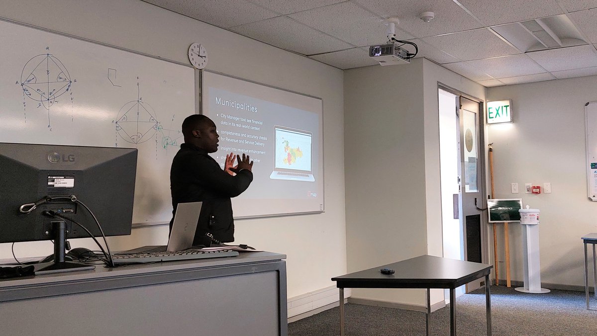
Thank you to @GeomaticsUCT 's surveying stream students and staff for having us! We enjoyed sharing our passion, learning about your career aspirations and telling you all about our tools designed to help surveying professionals address common challenges. #landsurveyors
Tuesday tip:
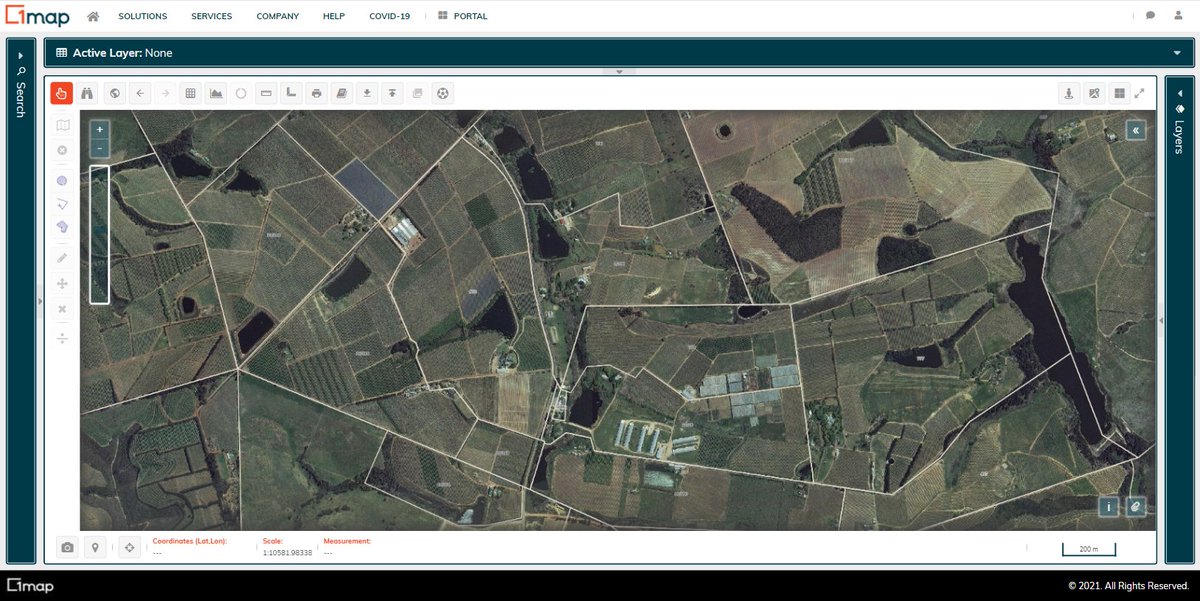
To find the change in elevation within a property, simply use the elevation tool in 1map. Click points in any direction to create a path. Double-click to create the endpoint. This reveals the elevation in meters and the coordinates of each point.
#TipTuesday
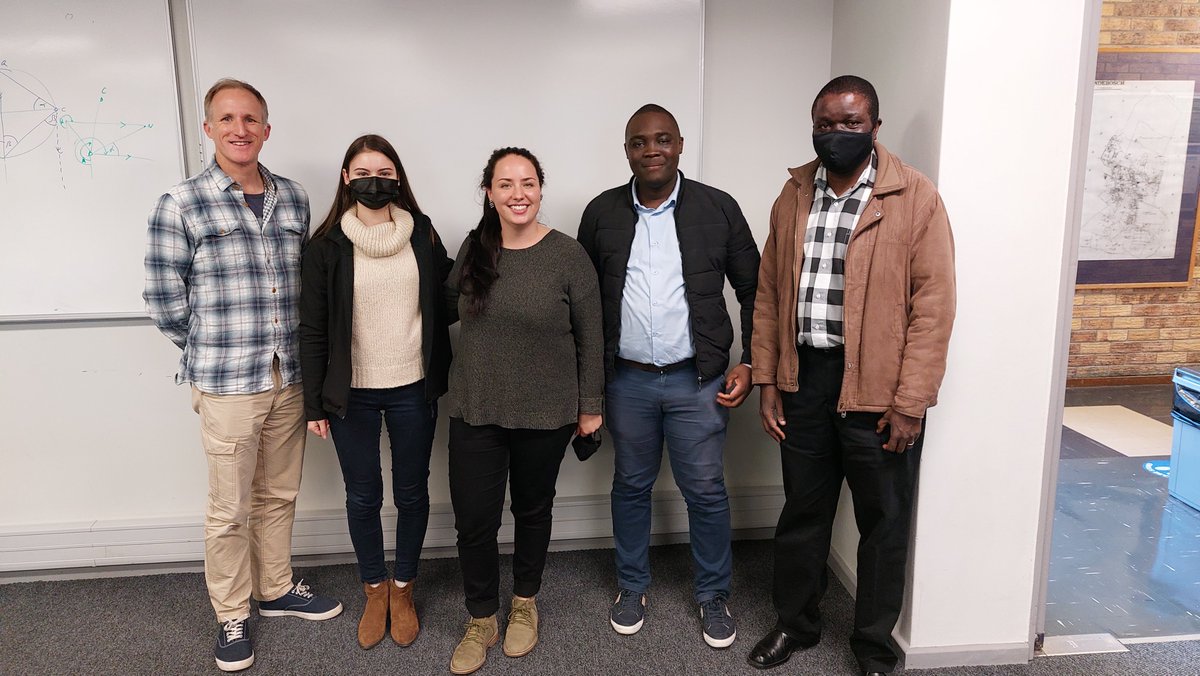
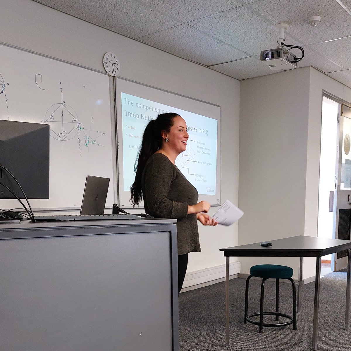
This past week, 1map's Coba and Tafadzwa spoke to Honours students at Stellenbosch University's Geography and Environmental Studies Department about how the 1map application will serve them in their studies and careers. Thanks for having us @SUGeography!
#TeachTheFuture
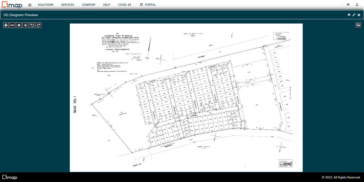
Do you frequently need to obtain SG diagrams from the Surveyor General but are frustrated with the hassle? By simply searching for a street address or stand number on 1map you can find the SG diagram for any property in South Africa. #PropertyData#PropertySouthAfrica
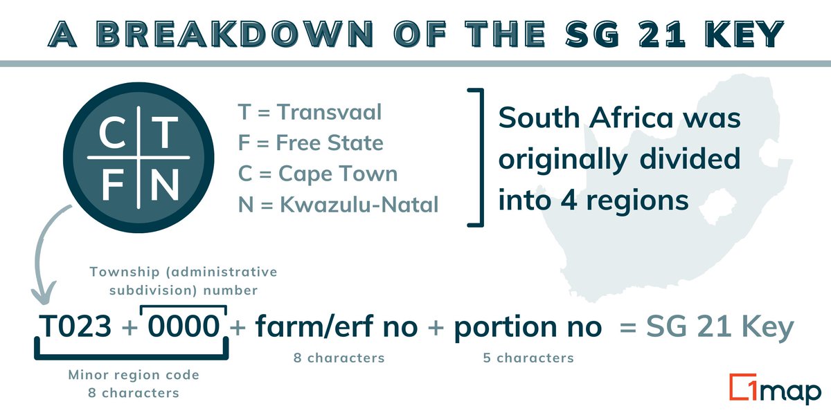
When working with property data, do you ever come across the term “SG 21 Key”, but have no idea what it refers to? This is the unique identifier assigned to each property, and on 1map you can use it to find a property's location.
#PropertyData#LocationData
Thank you to all our users for your support throughout 2021! We wish you and your families a blessed and safe festive season. See you in 2022! #HappyHolidays
For your organisation to benefit from online mapping, your data first needs to be converted to digital formats. In today's nugget, we explain how this is done and the digitisation techniques available: https://t.co/EVSSaaxJPy
#DataDriven#OnlineMapping
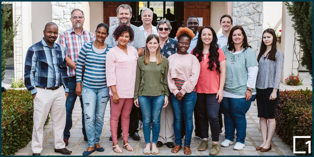
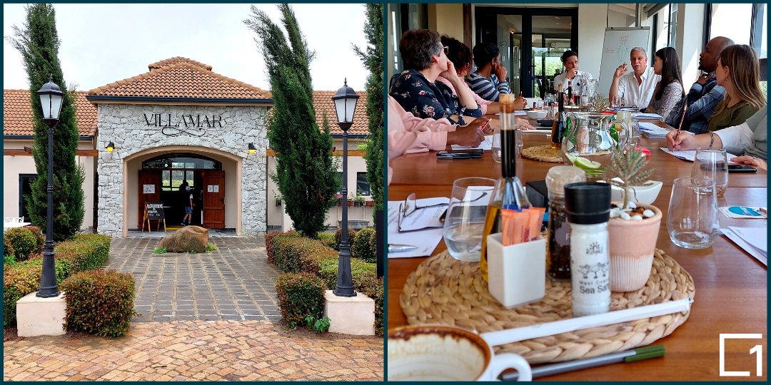
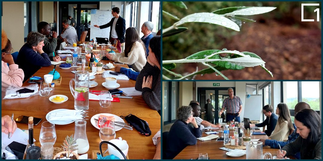
Throwback to our #TeamWorkshop at Villamar Roastery Café in Wellington! It was such a blessing being able to get together in person after a year and a half of working remotely. What a privilege to be part of such a diverse group of dedicated team-players!
#CompanyCulture
When faced with the daunting task of choosing an online GIS, how do you know which is the right choice to address your organisation's specific needs? Here are 11 factors to consider when choosing your online mapping solution.
#OnlineGIS#SolutionsDriven
https://t.co/Bx1B2WKiR7
Did you know that you can access Google Street View from within the 1map interface? Our Online GIS makes it easy to find what you are looking for so you can map your data or find the information you need. Access our free tool here: https://t.co/5wOvYKhIkh
#OnlineGIS#DataMapping
We were pleasantly surprised when 1map's free tool was featured in a QGIS tutorial video on how to download South African farm boundaries. Explore 1map's useful functionality and discover how you can access the features shown in the video: https://t.co/AJVaSQCip2
#QGIS#SAfarms
Struggling to decide between online and desktop GIS to address the gap in your organisation’s workflow? Let's look at the key factors to consider based on your unique use-case: https://t.co/Ga7c4C70fW
#GIS#geospatial#onlineGIS#workflows#datadriven#scalability
This #GISDay we are celebrating the technology that lets you see and analyse your organisation's data on a map, empowering you to leverage key insights to fuel your organisation's growth.
#MapTech#mapping
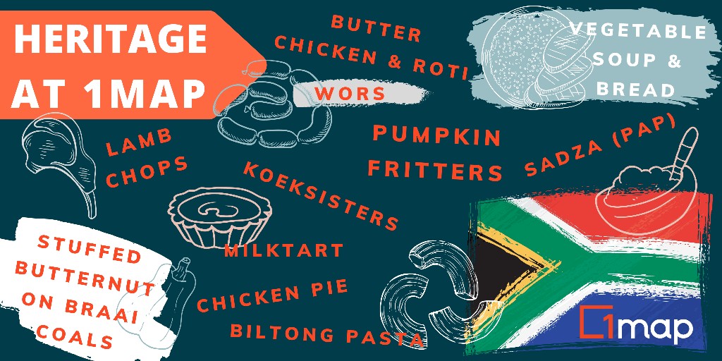
Happy National Heritage Day, South Africans!
To celebrate the heritages within 1map, we asked our team which dish represents their heritage to them.
Have a look at all these dishes...🤤
Today we celebrate our diverse team and everything that makes our country special 🙌
#heritage
'Reflections On Urban Data, Analytics, and Collaborative Urban Development In Africa' with Miriam Maina, Postdoctoral Researcher at @WitsUniversity.
Presented in partnership with @1mapsa.
Watch/ Listen: https://t.co/MiApO9ASol
The first bite-size snack from our brand new Geospatial Nuggets project is now live! We hope these nuggets will remind you of facts you might have forgotten, as well as teach you new things!
#GIS#geospatial#AlwaysLearning
https://t.co/w8lByUySEE