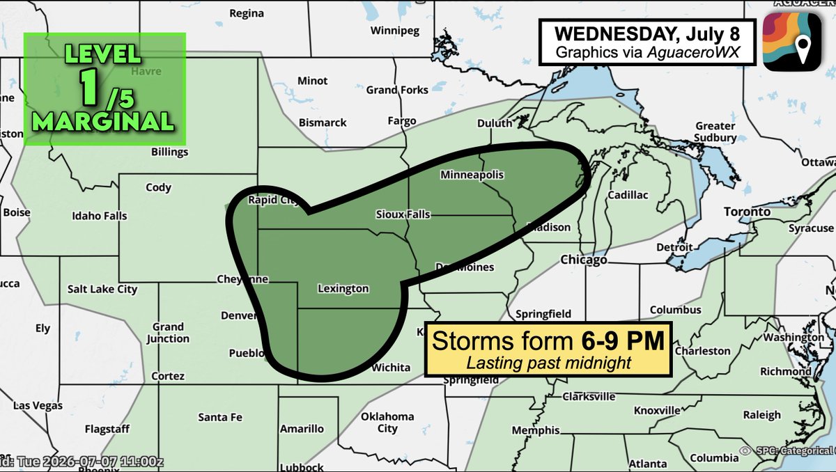
WEDNESDAY, July 8 will feature a risk zone for storms across parts of the Plains and Upper Midwest. Things look to get wet overnight, potentially lingering into Thursday morning.
A cold front will impinge upon a humid, moisture-rich airmass, causing scattered thunderstorms to form between 6 and 9 PM, coinciding with peak daytime heating.
Storms may eventually merge into a line. There's not much jet stream wind energy blowing overhead, keeping the severe weather risk marginal. Only scattered gusts of 50-60 mph are likely.
That said, locally heavy rainfall is probable. Storms will sag southward overnight before dissipating into Thursday morning.
@E_C5T45Y u guys are trying to cancel someone over an underwear bulge
there are way worse people out there like the hundreds of babyfurs and stuff but people are putting way too much effort into canceling suri because its coming off as trendy