🔍 QUIZ TIME! What's the primary advantage of using drones for mapping projects? A) Cost Efficiency B) Weather Resistance C) Speed D) High Altitude Flying. Drop your answers below! 🏔️🚁 #GIS#Drones#4DMAPS#4DTwinMaps#Mapping
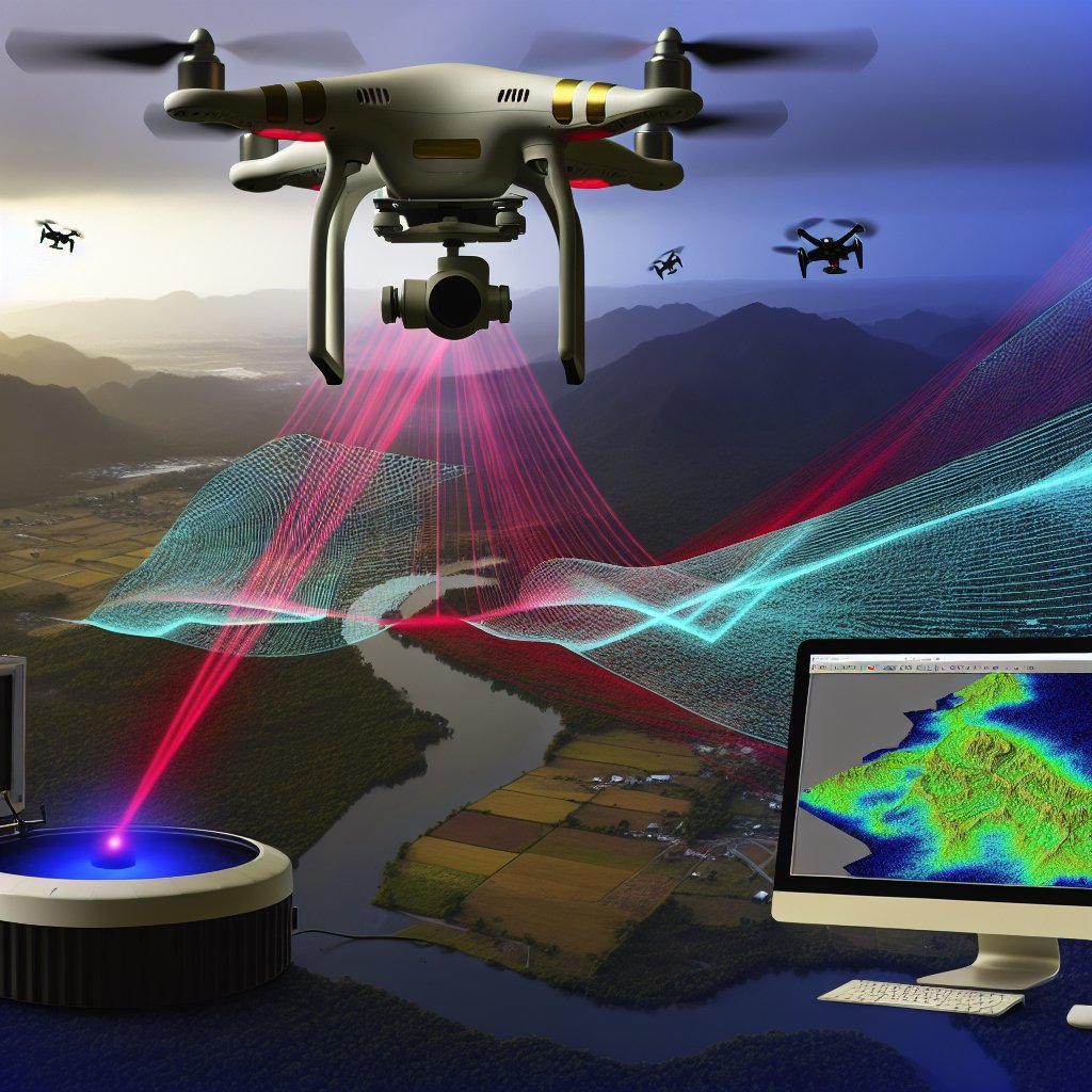
🎉 ANSWER REVEAL! The best tool for determining elevation from a distance is C) LiDAR! 🌐 Fun fact: LiDAR can generate precise 3D maps by bouncing lasers off surfaces. Ready for a new quiz? #GIS#Drones#4DTwinMaps#Mapping#4DMAPS
Stay tuned! ⏳
🚀 QUIZ TIME! Which tool is best used for determining the elevation of a specific area from a distance? 📏📸
A) Camera
B) Theodolite
C) LiDAR
D) GPS
Drop your answers below! ⬇️ #GIS#Drones#4DTwinMaps#Mapping#4DMAPS
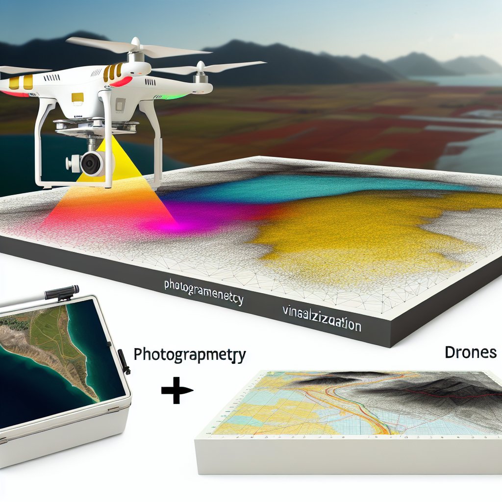
🌟 ANSWER TIME! The correct answer is B) Photogrammetry! 📸✨
Did you know? Photogrammetry analyzes light patterns to construct 3D models—just like human vision! 🌐🧩 Curious about what's next? Stay tuned! #GIS#Photogrammetry#Drones#Mapping#4DMAPS
🌍 QUIZ TIME! Which technology can create a 3D model from overlapping photos taken by drones? 🤔
A) RADAR
B) Photogrammetry
C) Sonar
D) Thermal Imaging
Drop your guesses below! 👇 #GIS#Photogrammetry#Drones#Mapping#4DMAPS
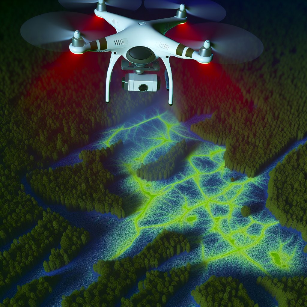
🛰️ ANSWER TIME! The correct answer is A) LiDAR! 🌟 Fun Fact: LiDAR uses laser pulses to map landscapes with incredible precision, even through dense foliage! 🌳 Ready for the next challenge? 👇 #GIS#Drones#Mapping#Photogrammetry#4DMAPS
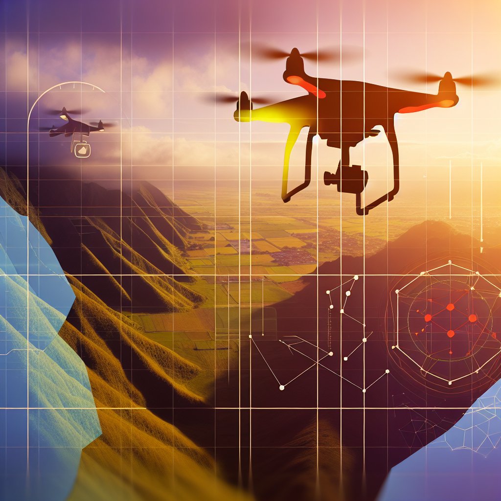
🔍 QUIZ TIME! Which technology helps drones autonomously avoid obstacles during flight?
A) LiDAR
B) Infrared Sensors
C) GPS
D) Barometer
Test your drone tech knowledge and drop your answer below! 🚁✨ #GIS#Drones#4DMAPS#Mapping#Photogrammetry
✈️ ANSWER TIME! The key advantage is B) High resolution imagery. Fun fact: Drones capture details down to centimeters, turning vast terrains into detailed models. Perfect for precise 3D mapping! 📷🗺️ #GIS#Drones#4DMAPS#Mapping#Photogrammetry
🌍 QUIZ TIME! Which of these is a key advantage of using drones for topographic mapping? A) Instant wireless data sharing B) High resolution imagery C) Unlimited flight time D) Thermal imaging capability ✈️🗺️ #GIS#Drones#4DTwinMaps#Mapping#Photogrammetry
🔍 ANSWER TIME! LiDAR's edge in drone mapping? B) Better in low-light! 🌫️ Did you know it can penetrate through vegetation, giving accurate terrain data even under dense canopy? 🌳 #GIS#Drones#4DTwinMaps#Mapping#Photogrammetry
Now, are you ready for the next quiz? 😊
🗺️ QUIZ TIME! What's the main advantage of using LiDAR over traditional photogrammetry in drone mapping?
A) Higher altitude
B) Better in low-light
C) Waterproof
D) More portable
Cast your vote! 👇 #GIS#Drones#4DTwinMaps#Mapping#Photogrammetry
🚁 ANSWER TIME! The most efficient method for creating detailed 3D models of urban landscapes with drones is B) RGB Photogrammetry. Fun Fact: It uses overlapping photos to create detailed maps! 📷 #GIS#Drones#4DTwinMaps#Mapping
Ready for another challenge? Stay tuned!
🚁QUIZ TIME! Which method is most efficient for creating detailed 3D models of urban landscapes using drones? A) Thermal Imaging B) RGB Photogrammetry C) Radar Imaging D) LiDAR
Unlock the world of #4DTwinMaps and support with #4DMAPS! #GIS#Drones#Mapping#4DTech
🗺️ ANSWER REVEAL!
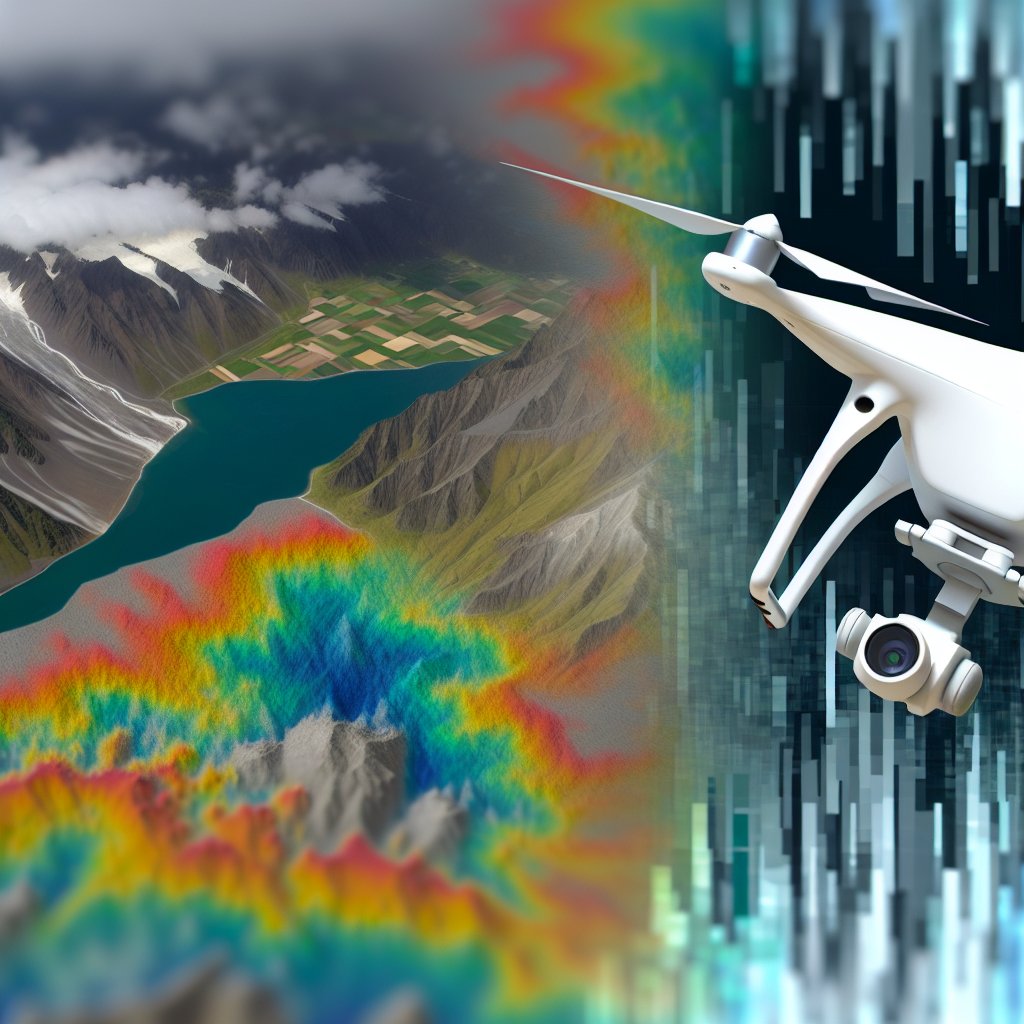
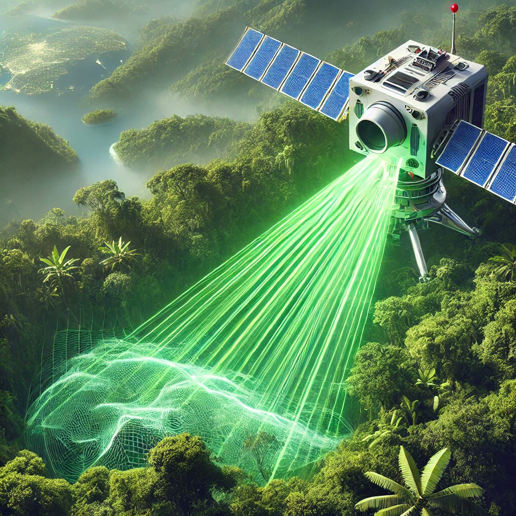
The best technique for penetrating dense vegetation to measure terrain elevation is A) LiDAR! 🌳✨ LiDAR's laser pulses can pass through gaps in the canopy, providing accurate ground measurements.
Stay tuned for more insights! #GIS#4DTwinMaps#4DMAPS
🛰️ QUIZ TIME!
Which remote sensing technique is best for penetrating dense vegetation to measure terrain elevation? 🌲📡
A) LiDAR
B) Structure from Motion (SfM)
C) Thermal Imaging
D) Orthophotos
Reply with your answer! 👇 #GIS#Photogrammetry#4DTwinMaps#4DMAPS