To our followers: Recently, twitter settings on tweeting from multiple accounts changed and made it difficult to post to multiple accounts during busy weather days. While we will still use this account, for the most up to date tweets follow @gflickinger@LeFevreWX & @wx_will
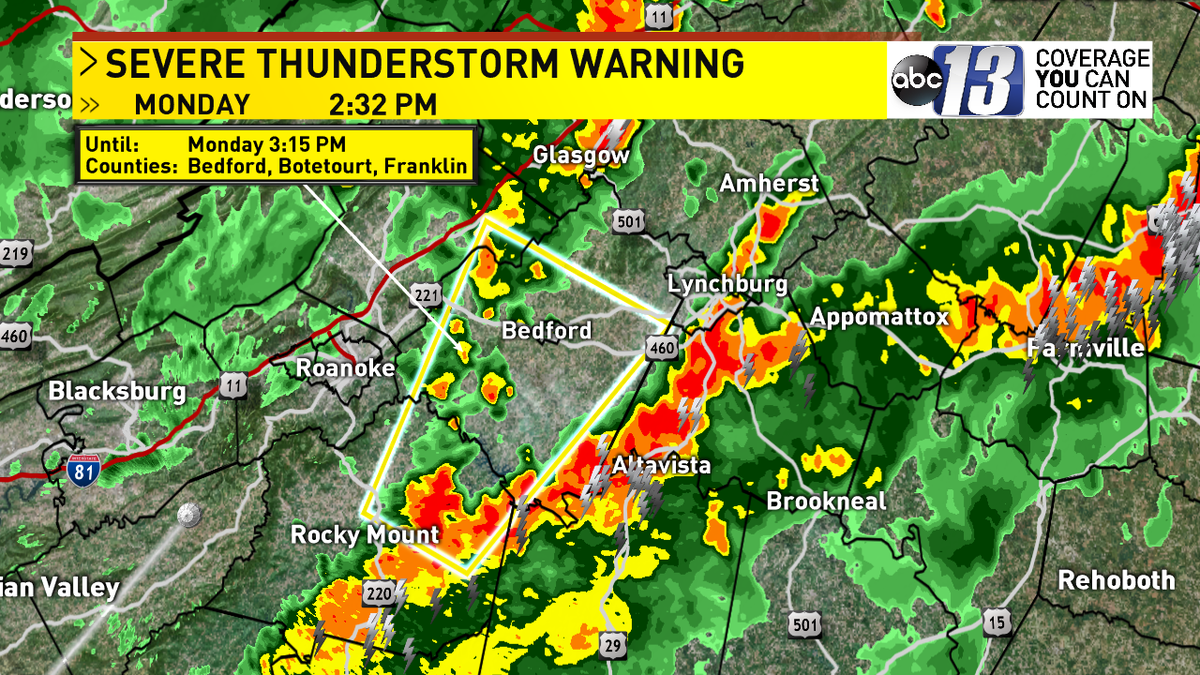
SEVERE THUNDERSTORM WARNING has been issued for Bedford, Botetourt and Franklin counties until 3:15PM.
3/4" hail and winds 60MPH or greater are likely.
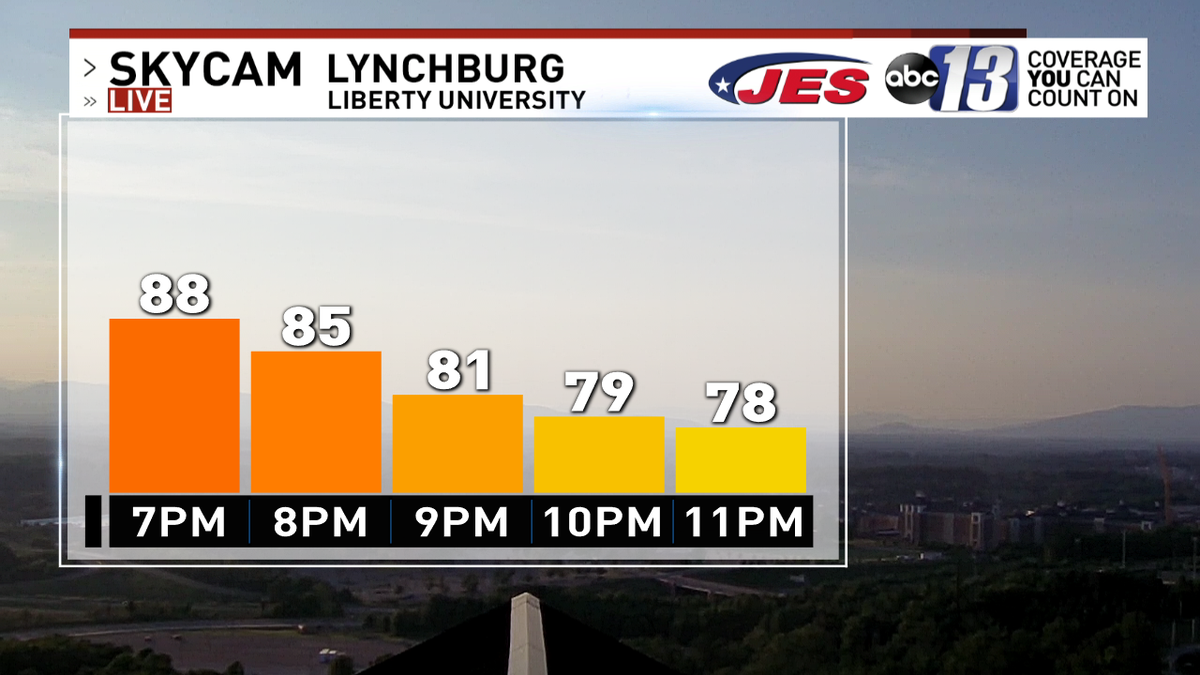
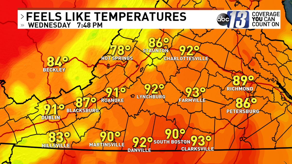
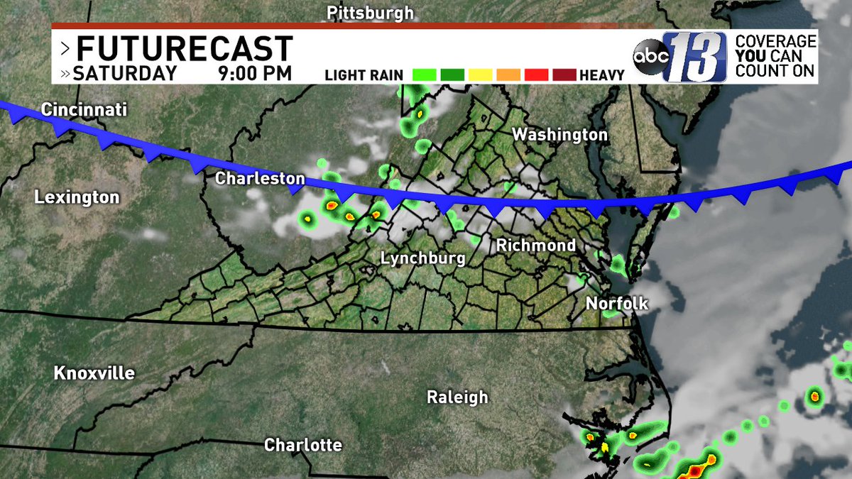
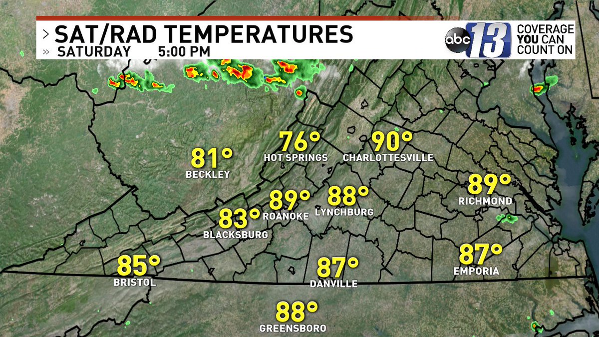
Evening Planner. HOT and STEAMY - most are dry although some downpours are dotting the western counties. We'll discuss a better chance for storms on Facebook Live at 10:30 and on TV at 11.
Hopefully my @wx_will account will be working again by then!
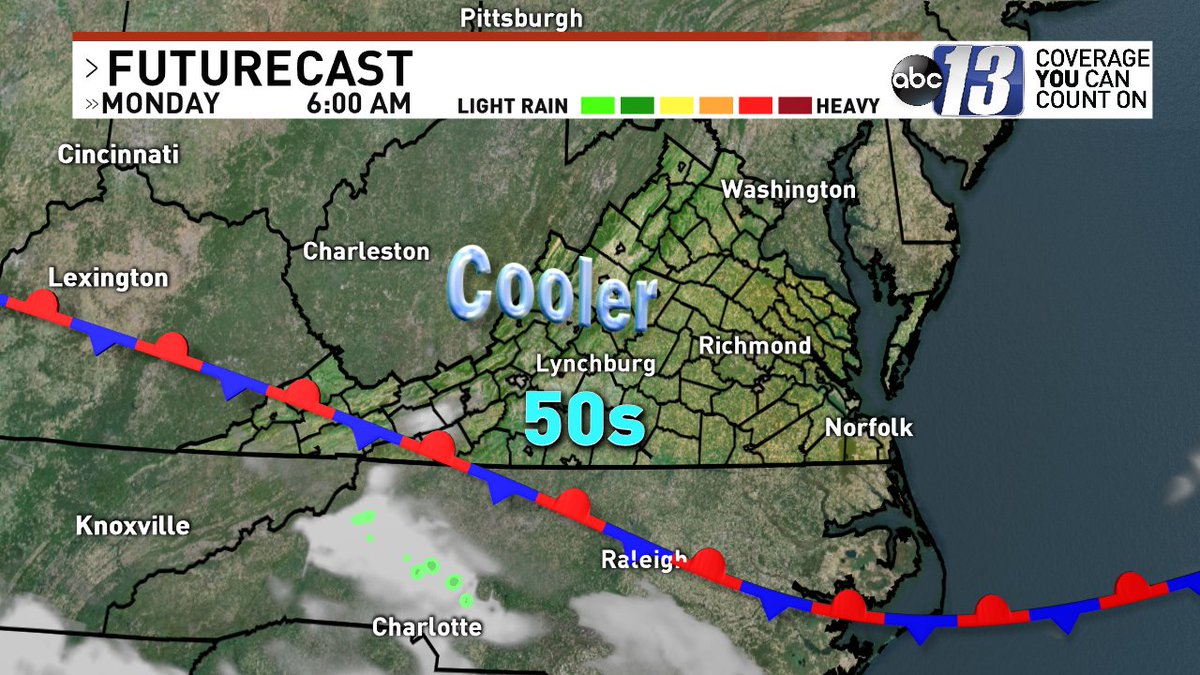
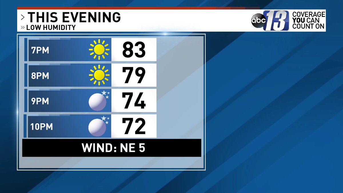
While it was a warm Sunday, at least we enjoyed lower humidity. Monday's weather looks nice and we are tracking Tropical Storm Cristobal... details on 13 News at 6pm - join us!
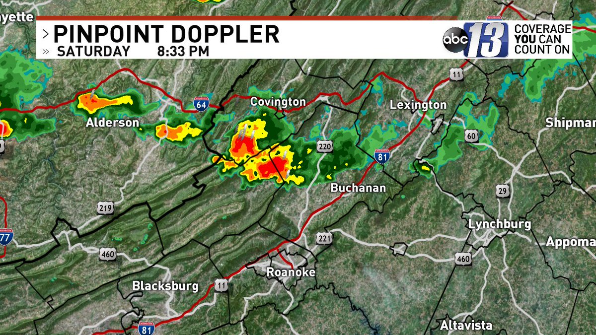
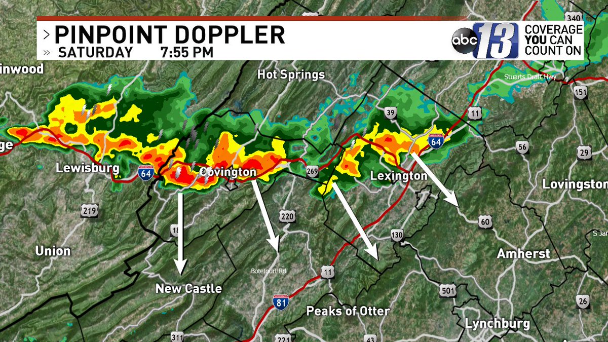
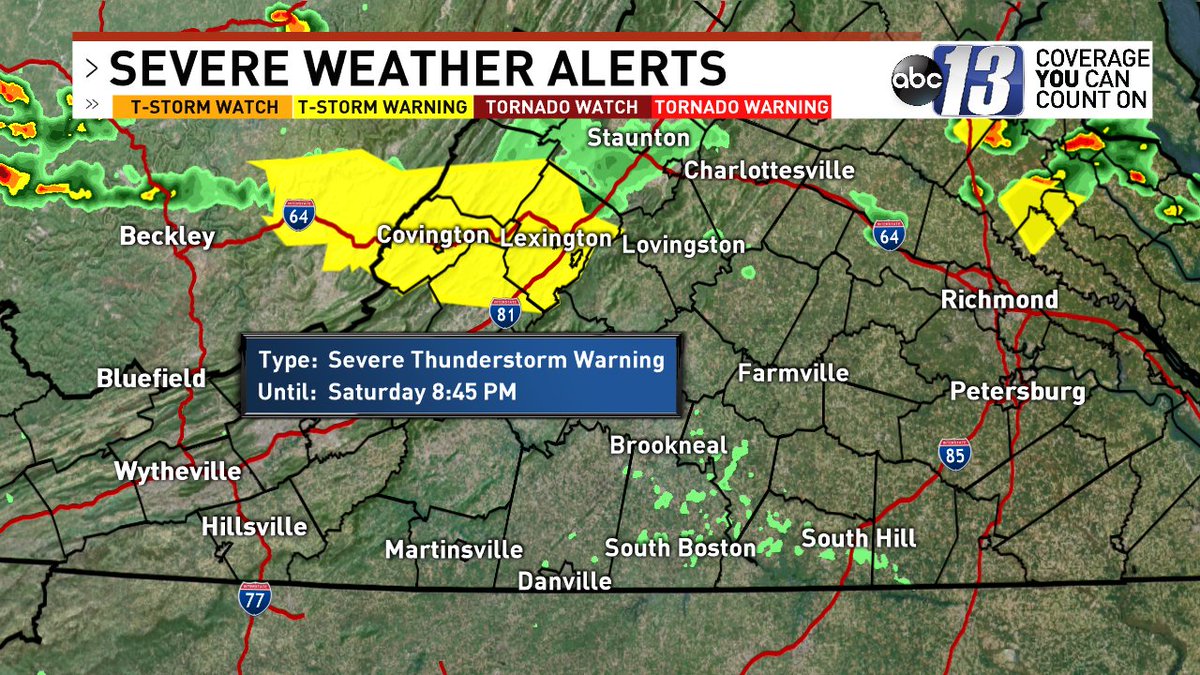
Severe Thunderstorm Warning For...
Covington
Alleghany County
The City Of Buena Vista
The City Of Lexington
Rockbridge County
Northern Botetourt County
*Until 8:45PM
It's hot and humid, with a few t-showers possible this evening. Tomorrow is less humid and not as hot. Your full forecast is coming up on 13 News at 6pm - join us!
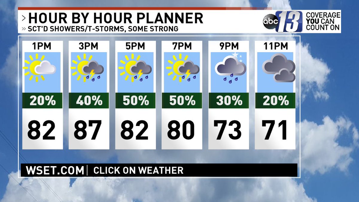
This afternoon is partly sunny, very warm and humid, with scattered showers and thunderstorms (50%), some strong, with flooding downpours. Highs in the mid to upper 80s.
A Flash Flood Watch has been issued for western sections through midnight. This afternoon's heavy storms could cause flash flooding. Forecast details on 13 News Midday - join us!