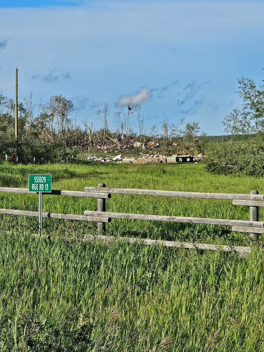
Horrible tornado damage near Tulliby Lake, Alberta from the intense tornado earlier this evening. A frame house was completely obliterated and swept off its foundation, with major tree damage. Source is David N Cathy Parke, via Facebook which I will link below. #abstorm
Satellite imagery shows the scars from the rash of hailstorms across the Prairies on Saturday and Sunday.
One storm tracked from west of Calgary, Alberta all the way to southeast of Regina, Saskatchewan - producing hail for more than 800 km in over 15 hours!
#abstorm#skstorm
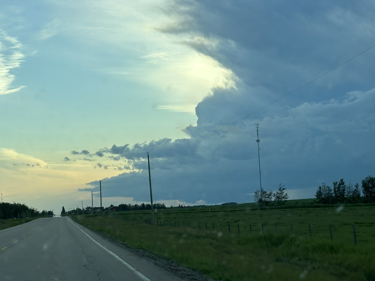
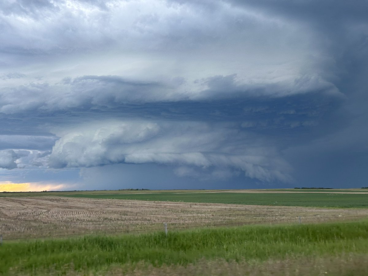
Dangerous supercells are likely in Alberta tomorrow, with the highest risk being between Innisfail and Leduc in the QE2 corridor.
These storms have a classic destructive hailstorm look, with wind-driven hail being likely.
#abstorm@teamdomcanada
This 2 minute timelapse captures the Rossburn, Manitoba violent wedge tornado touching down feet in front of me yesterday evening. Multiple homes were damaged by the tornado but thankfully everyone was okay. Shot on the @insta360 X5.
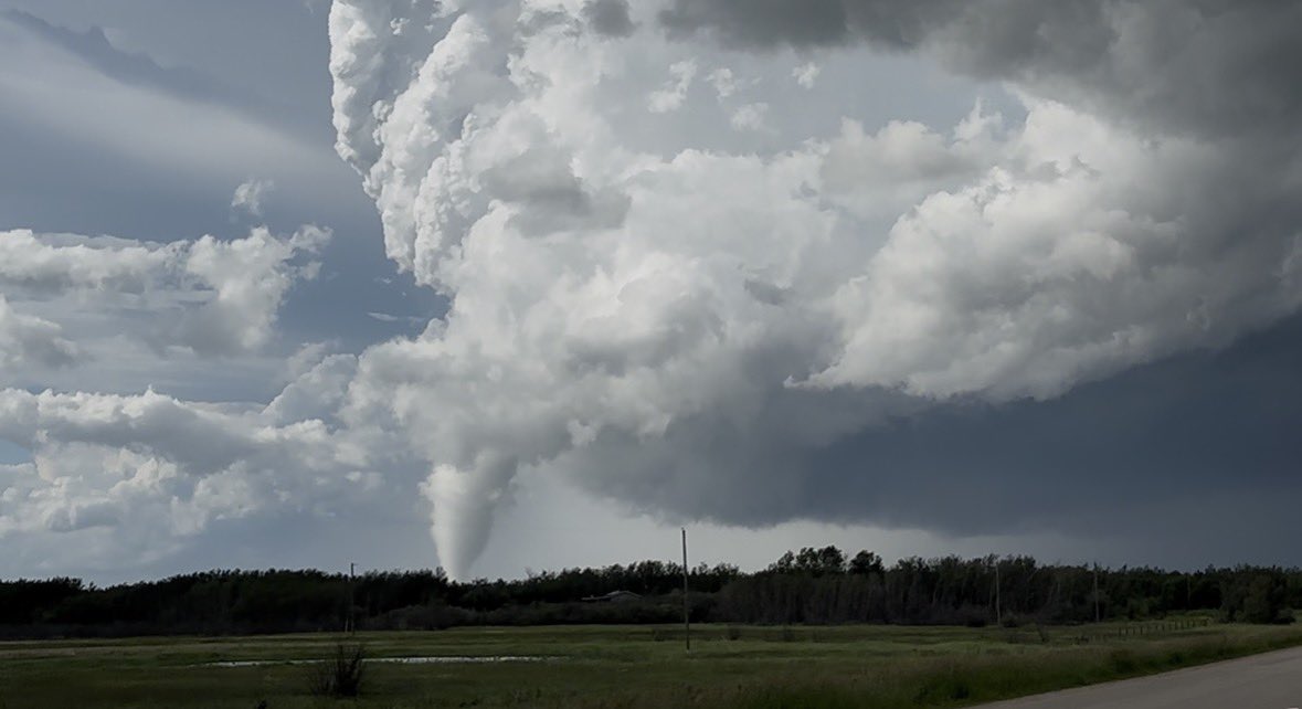
A rare, prolific tornado-producing supercell in northwest Alberta tonight!
Low-topped supercell environment with strong low level shear, and low LCL heights.
In other words, the parent storm was relatively short and small, with low cloud bases.
Screenshots of the tornadoes from the Alberta Storm Reports Facebook page. First tornado was near Girouxville just after 8PM, and the second near High Prairie around 930PM. #abstorm @NTP_Reports