The 19z blend of models shows a general 1-4 inch snow total by Sun AM with the “jackpot” zone over the Mid Shore/NE MD. The last few HRRR model runs seem to be ticking the snowfall upwards with the latest run suggesting up to 6” for some in NE MD and northern DE.
Another storm on the way for this weekend. A general 1-3 inches of snowfall looks to be expected. NBM has consistently shown this scenario for at least the past 4 runs.
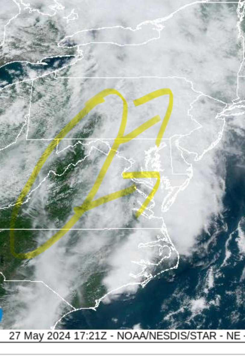
Actually kind of surprised they went with a Tornado Watch in Central MD. Severe thunderstorm watch I believe would of been sufficient. Nonetheless, a Tornado watch for Central MD with a severe storm watch for the Eastern Shore definitely causes some confusion to the public.
Severe threat for this afternoon seems pretty limited. A break in the clouds to the west is trying to push East. Sunshine would increase our severe storm potential for later this afternoon/evening.
A severe weather outbreak is eminent in the Central US. Multiple tornado watches are in place with one of them in Oklahoma being a "Potentially Dangerous Situation". Stay safe, and stay weather aware.
A few chances for some snow over the next week or so starting tomorrow with a snow squall. Another shot on Tuesday and again next Friday. 3-4 inches of accumulation POSSIBLE by next Sun the 21st. Just pitiful for snow lovers.
A lot of people talking about next weekend as a snow threat... As of right now, it looks like a repeat of today with a rain/snow line near or just to the north and west of 95 quickly changing to all rain. Will continue to watch.
A cold rain for most of us today. Some snow/mix to the north and west but they will also change to all rain. Heavy rain and wind this afternoon and evening before we clear out by 8-9pm. Radar:
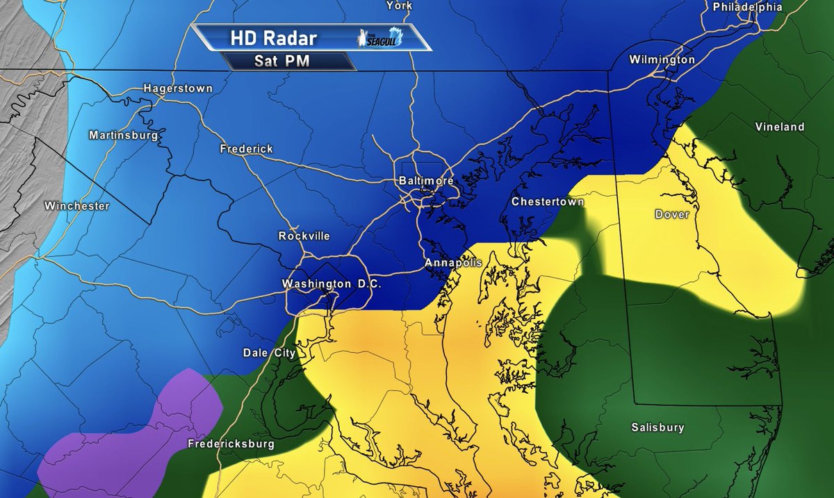
Latest GFS run for Saturday afternoon. As stated before, this is not a storm for snow. A slushy coating to 2 inches of snow at best south and East of 95. I do believe mixing will be an issue along 95 as well which limits totals there too.
The storm is over land now so model output today should have a better handle of the storm track. Short range models will also be in range to pick up the storm. North and west of 95 is where the best chance of accumulation is. Even then, not much of it.
A-lot of chat about a winter storm to impact our are this weekend… I’m not seeing anything significant. The 10-1 snowfall model outputs that are floating around social media are well over done. As of recent data, the storm is faster and warmer. Light, slush accumulation at best.
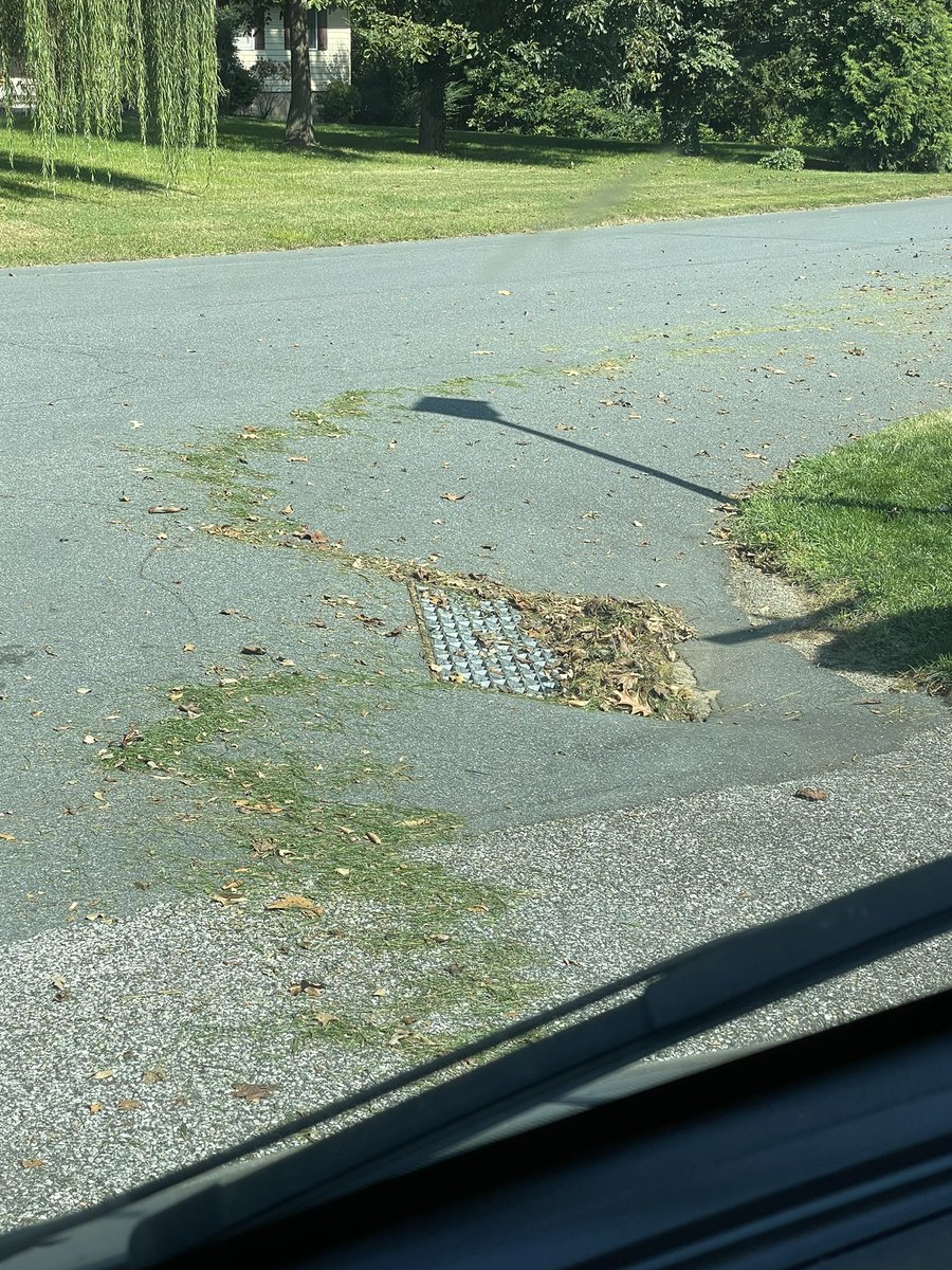
People: “I don’t know why my street always floods wit heavy rain”.
Also people: blowing grass clippings and leaves in the street and storm drains…. 🙄🤦♂️ you can’t make this stuff up.
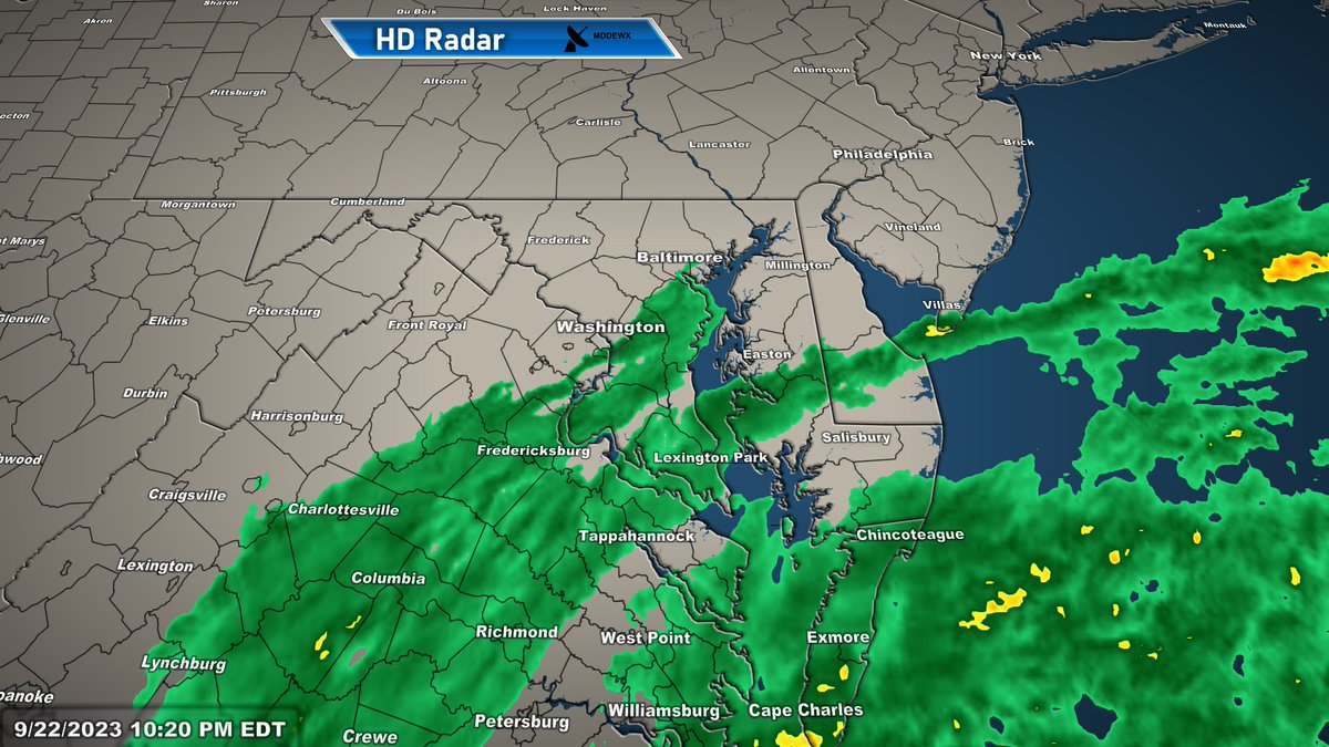
The outer bands of Tropical Storm #Ophelia are here. Off and on rain, heavy at times, tonight through tomorrow. 2-4 inches of rainfall expected for most. Wind gusts up to 50mph. Current radar:
Already showing Tropical Storm characteristics and will likely be named Ophelia by this evening. Heavy rain starts tonight and will continue off and on through Sunday morning. Winds gusting up to 50mph and a chance for a tornado or two, mainly over the lower shore/lower DE.