Good afternoon, with strong severe storms in the area we appreciate any reports you may have. Stay safe this afternoon and always have a way to receive warnings.
The storm prediction center has put Columbia in a MODERATE risk (4/5) for this evening. Timing is from 5-7pm and all impacts are possible with damaging winds as the primary threat! NOW is the time to start preparing! 🌩
#mowx#severeweather
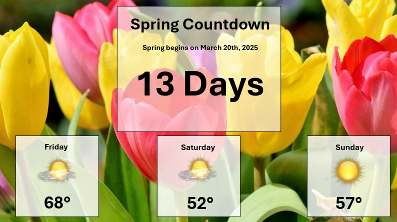
Spring-like Friday ahead with warm temperatures in the 60s. Good day for some Tiger baseball! Spring is not far away, just under 2 weeks. #MoWx#MidMoWx#mizzou@MizzouBaseball
Full Forecast: https://t.co/OnCCi0TBhf
Today is the start of 2025 Severe Weather Awareness week! Tornadoes, large hail, strong winds, flooding, and lightning have been reported in all 50 states, so no matter where you are, you need to be prepared! https://t.co/lu9P4rVJFx
Red Flag Warning Until 8pm Friday:
This means that conditions are favorable for fires to spread rapidly this afternoon. Dispose of cigarettes properly, and avoid burning if possible. Conditions will improve by tomorrow and into next week. #MoWx#MidMoWx#JCMO#COMO
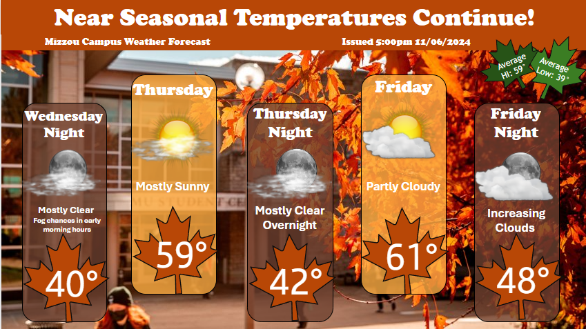
Don't believe everything you hear! Warm and fair temperatures prevail this week making conditions favorable for outdoor activity! For the full forecast, go to https://t.co/km5LWPTmu7 #mizzouwx#weather
Warmer temperatures are on the way! The warmup starts today with highs in the 20s before we see the 30s on Saturday and even the 50s by the end of the weekend. #mowx#midmowx
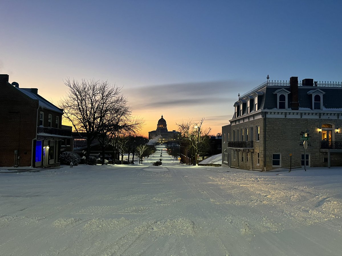
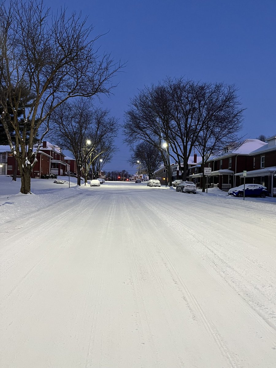
It is COLD this morning, but the snow looks very good on the capital city! We have been driving around Jefferson City all morning checking out the snow covered roads. They are passable but slick this morning. Take your time heading out the door. Enjoy these photos! #mowx#MidMoWx
Are y'all ready for a 3-peat? KC & surrounding areas are looking at a possible snow 3-peat this week.
1) Light snow possible late Monday night into Tuesday.
2) Widespread moderate to heavy snow Wednesday.
3) Another chance for snow on Saturday (limited details at this time).
Improvements to the drought monitor continued over the last week, with a drop of about 5% statewide. We will see more opportunities for precipitation over the next week, with the first chance arriving in the form of light rain and drizzle overnight Friday into Saturday. #mowx
10:00am UPDATE -- FULL CLOSURES:
- SB 71 Hwy past I-670
- I-470 WB at I-49
If you have to be out on metro roadways this morning, please use caution. Check the https://t.co/VzThDAqK5r and https://t.co/7SJkZMJKX5 before you head out.
Gloomy day today but a pleasant weekend on the way! Looks to be a great weekend to find a trail with your best friend and go for a hike! Highs in the 50s on Saturday and the 60s by Sunday! #mowx#midmowx
A cold front looks to drop temperatures through the evening Wednesday, back to a more winter like feel.🧊🥶
High temperatures on Thursday will struggle to reach the mid 20s before warmer temperatures arrive to close out the week.
Latest Forecast: https://t.co/IBHAD0pWum
#mowx
Thank you again for all the outpouring of love for our Ben. I can’t tell you how much it means to me and my family.
He wasn’t just my best friend – he was America’s best friend ❤️
Radar imagery from 4:30pm Wednesday
Severe weather expected across parts of western and central Missouri overnight! Storms will approach from the west progressing to the east through early Thursday morning.
#mowx#midmowx#severeweather
Latest Forecast: https://t.co/VLENY6cdi6