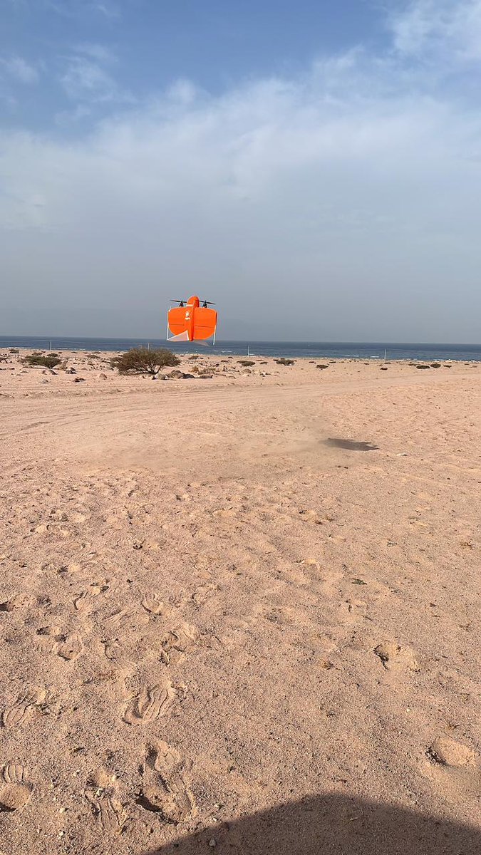
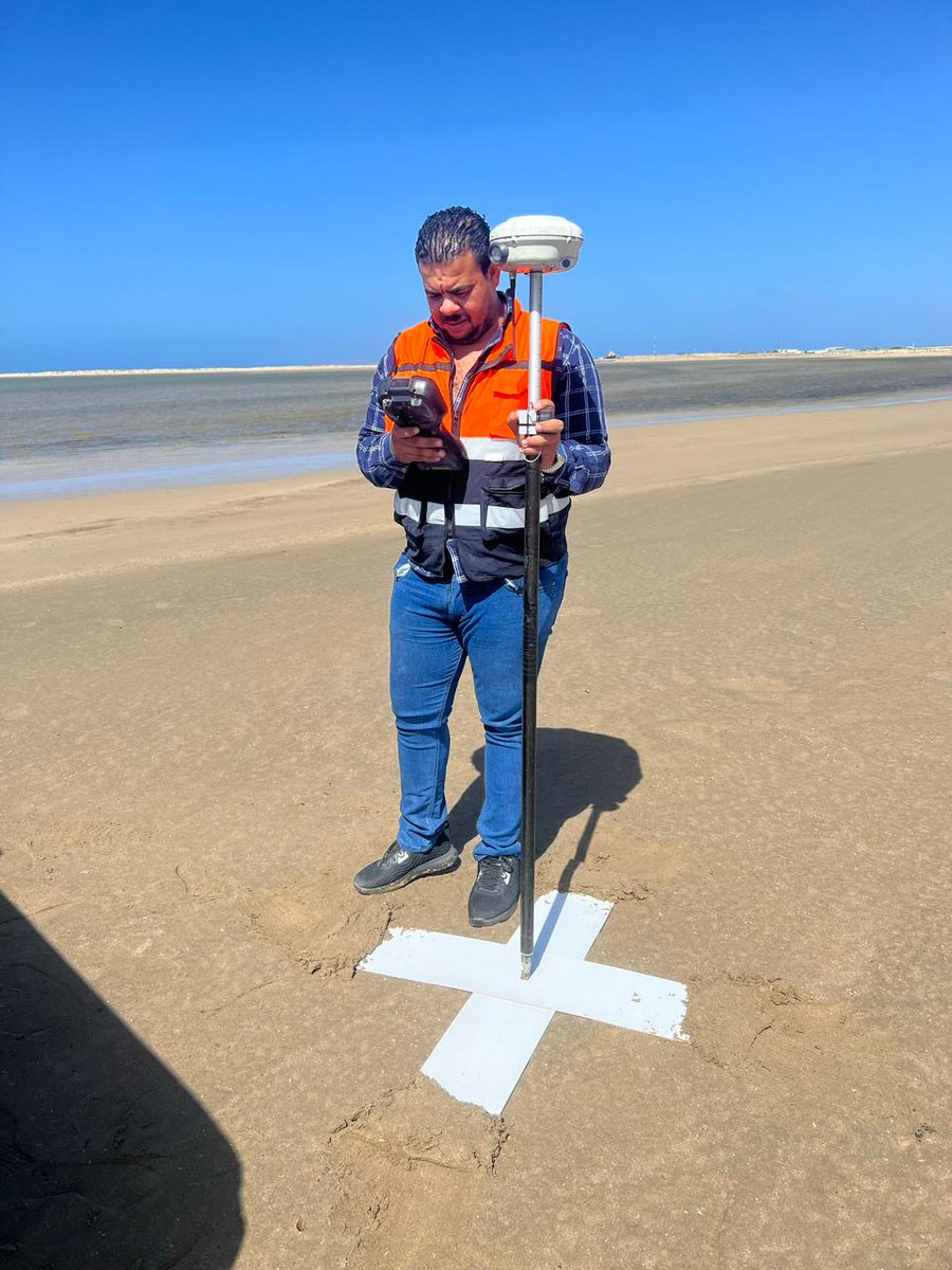
From one of our recent projects ( Topographic and Detailed Survey Using Drone for Kadeen Island in the Red Sea ) , the deliverables as below
#orthophoto#dem#dsm#pointcloud#contour lines
#gridpoints
one of our most successful was conducting topographic and detailed survey using drone for the roads network in Al Soudah Project ( 181 linear km ) , we were pleased to provide accurate data ( orthophoto 2 GSD , DEM , DSM , Point Cloud, Grid Points, Contour lines , Plan data )
We were pleased in AMAI to conduct a Topographic and detailed survey for the cloud town and the gardens area in #Al Soudah ( orthophoto 2 GSD , DEM , DSM , Point Cloud, Grid Points, Contour lines, Plan data )
We were pleased in AMAI to conduct a Topographic and detailed survey for the cloud town and the gardens area in #Al Soudah ( orthophoto 2 GSD , DEM , DSM , Point Cloud, Grid Points, Contour lines, Plan data )
one of our most successful was conducting topographic and detailed survey using drone for the roads network in Al Soudah Project ( 181 linear km ) , we were pleased to provide accurate data ( orthophoto 2 GSD , DEM , DSM , Point Cloud, Grid Points, Contour lines , Plan data )
From one of our recent projects ( Topographic and Detailed Survey Using Drone for Kadeen Island in the Red Sea ) , the deliverables as below
#orthophoto#dem#dsm#pointcloud#contour lines
#gridpoints
It was our great honor in AMAI to execute topographic survey using drones and generate ( #orthohophoto 3 GSD , #DEM , #DSM , #contour lines , #grid points and high density #points cloud ) for an area ( 145 km2 ) in NEOM for archaeological studying
It was our pleasure in AMAI to execute topographic and detailed survey using drones ( and generate #orthohophoto 3 GSD , #DEM , #DSM , #contour lines , #grid points , #points cloud and #plan data ) for Baha Bisha transmission power line - #SEC
We had a great honor to execute a topographic survey using drone for Kodompil island in the red sea , and generate an accurate ,
#orthophoto#DEM#DSM#point cloud
#recap#ASDA