Oblique imagery gives a 45° view from 4 directions, revealing façades, access & context—not just a footprint. Perfect for quoting, assessing sites & tracking change. Less guesswork. No drone. No site visit. Open #MetroMap & see for yourself: https://t.co/G8BSUpTJUr
#PropTech
MetroMap's Swipe Tool lets you compare imagery across two different dates, side by side, so you can see exactly what's changed on any site.
Start your trial: https://t.co/DIVLhC3Ol4
#MetroMap#SwipeTool#GeospatialTech
Move, resize, relabel, or add and remove drawings within the same layer, keeping all your jobs and site data integrated and accurate without ever starting from scratch.
Try it here: https://t.co/DIVLhC3Ol4
#MetroMap#SpatialData#Geospatial
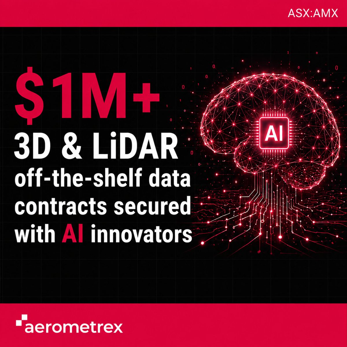
Aerometrex secures $1.07M in off-the-shelf data contracts with 2 leading AI firms, Zeromatter & Neara, licensing existing 3D & LiDAR catalogues.
#AMX#AI#DigitalTwin#LiDAR#ASX
Brisbane is changing at great pace. Rebuilt venues, transport, and an athlete village, all moving on the clock.
See what's actually happening on-site this week from above.
https://t.co/G8BSUpTJUr
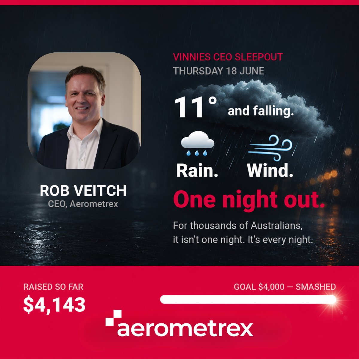
This Thursday, our CEO Rob Veitch is sleeping out at Adelaide Zoo for the @CEOSleepout.
With rain & 35km/h winds forecast, it’ll be a tough night—but that’s the reality every night for thousands of Australians.
Rob’s raised $4,143 so far! Donate:
https://t.co/bHr1cquBCk
Behind the aerial imagery is a lot you don't see. Early starts, remote airstrips, and endless coffee.
Shoutout to the pilots and sensor operators flying remote skies to capture high-res data & LiDAR. The sunrises aren't bad either. 🌅
#AerialImagery#LiDAR#BehindTheScenes
Master your event layout with a holistic aerial view. MetroMap 3D lets you inspect entry/exit points, crowd flow, and real terrain before the event—ensuring your access plans hold up under a full crowd.
Plan with zero guesswork: https://t.co/JcH1ys4Uu0
#EventPlanning#3DMapping
See your world more clearly.
Frequently updated high-resolution aerial imagery of Australia, ready whenever you are. Compare years of change, measure from your desk, and plan with confidence, no site visit required.
👉 https://t.co/G8BSUpTJUr
✈️ MetroMap Head of Product Daniel O'Donnell joins @MoneyNewsShow to talk aerial imagery!
It is built to be practical. You can measure, quote, assess site accessibility or monitor change, all from the MetroMap view.
Listen here:
https://t.co/L3emdMOBP5
Quoting used to mean turning up. Now, high-res aerial imagery brings cm-accurate detail straight to your screen.
No more site visits just for a tape measure. Faster quotes, smarter planning. See how MetroMap is changing Aussie construction:
https://t.co/7q9ggDkaEX
Two days. 350+ delegates. Thanks to everyone who visited Booth 6 at #FCON26!
Key takeaways:
🏗️ Confident quoting needs current data
🌏 #Brisbane2032 prep relies on aerial imagery
🤖 AI is only as good as its data
Thanks FuturePlace! #Aerometrex#MetroMap
FCON26... LET'S GO! 🚀 Day 1 is live in Brisbane!
Our team is at the Royal ICC talking the future of construction. Drop by Booth 6 to see how high-res imagery & #MetroMap streamline site planning and catch issues early. 🏗️
See you there! 👀
#FCON26#Innovation#Brisbane
At #FCON26 in Brisbane? 🏗️ Come and visit us!
One snapshot is only part of the story. See the bigger picture with MetroMap:
✅ Track Progress 📈
✅ Reduce Risk 🛡️
✅ Plan Faster 📝
Visit Booth 6 to see your site from a new perspective! ✨
#MetroMap#FutureOfConstruction
Stop guessing and start knowing with MetroMap. 🏠
One click on a building reveals:
✅ Roof material & height
✅ Estimated floors
✅ Solar panels & pools
✅ Area & coordinates
Get instant property intelligence without leaving your desk. 📍
Try it: https://t.co/N38KknUtfS
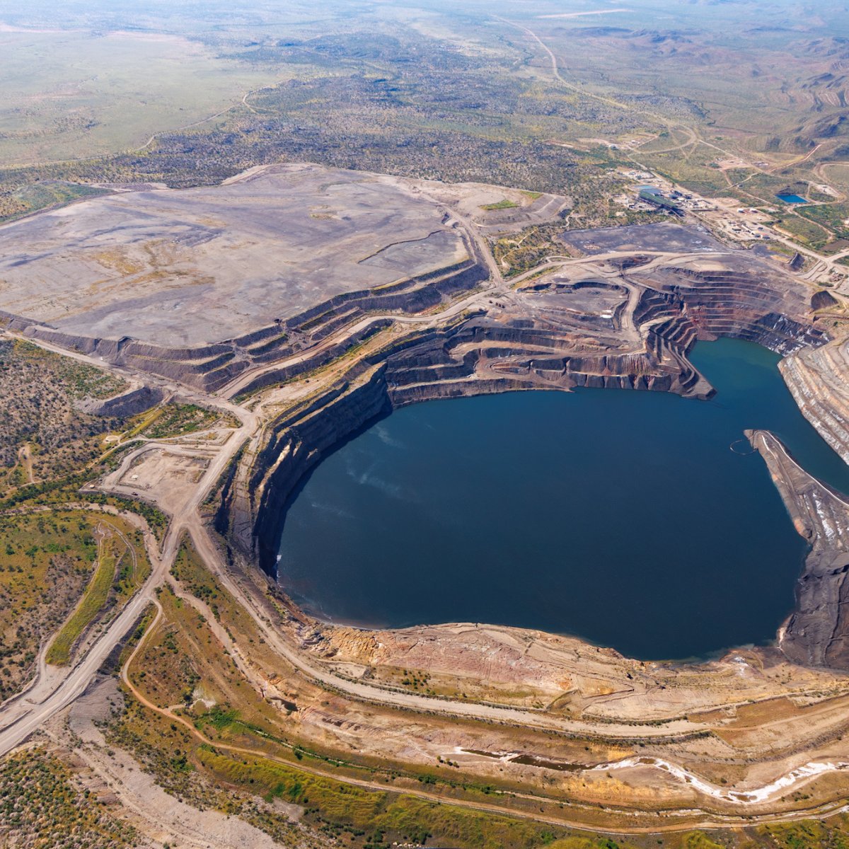
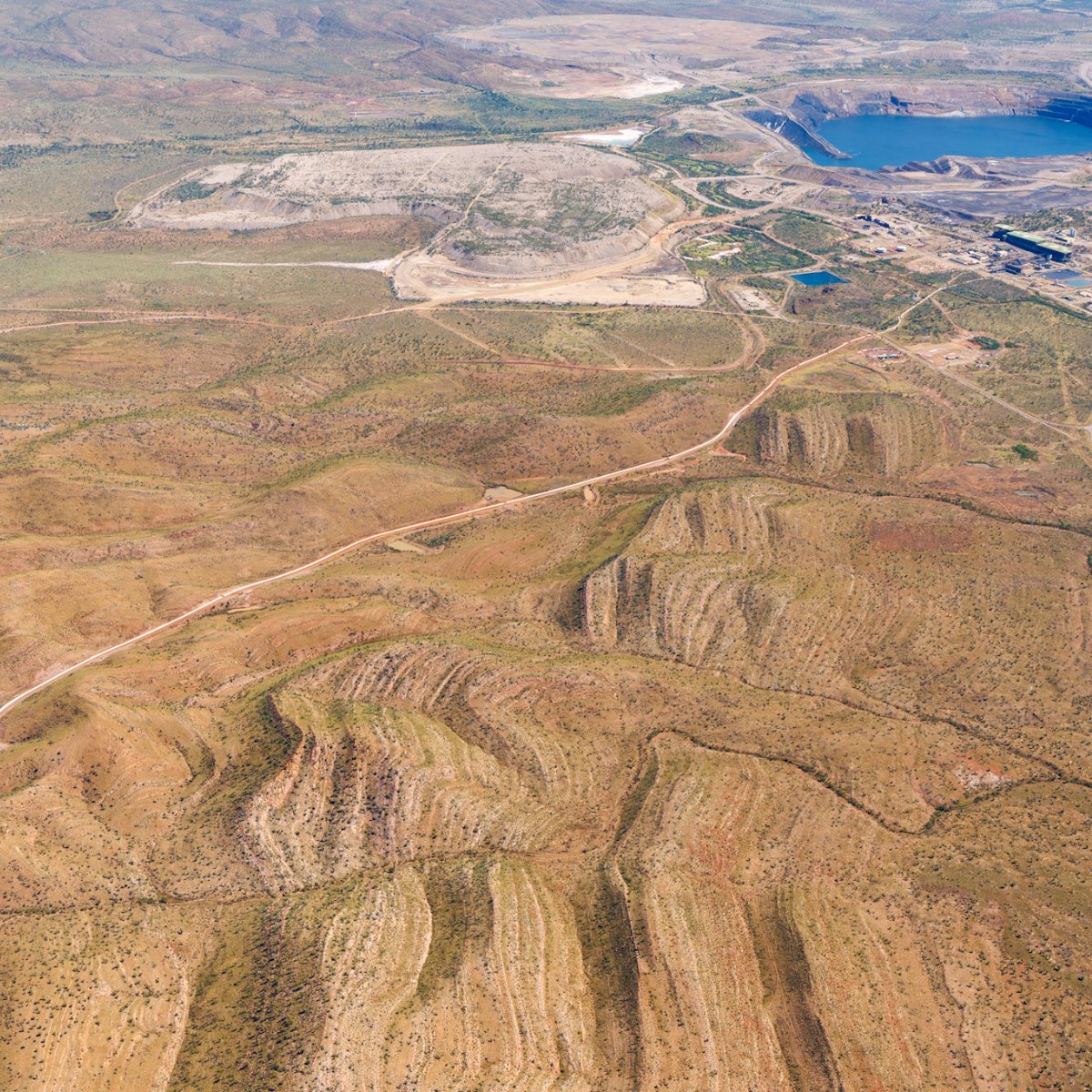
📍Century Mine, QLD — once Australia’s largest open-pit zinc mine, now its biggest tailings retreatment site. MetroMap aerial imagery helps mining teams track pit progression, monitor rehabilitation, and reduce remote site visits with seamless ArcGIS integration. #AerialImagery
Great day in Moranbah with ~30 mining survey pros! 📍 Rob Thomas ran hands-on sessions showing how Aerometrex's Aerial LiDAR & high-res imagery optimize mine data. We talked fixed-wing efficiency, subsidence monitoring & environmental compliance. 🤝 #Aerometrex#LiDAR
Planning a big development? 🏙️ High-res 3D reality mesh gives you the real-world context for confident decisions. Analyze shadows, track changes, and speed up approvals with our digital twins. 📈
See the San Diego capture here: https://t.co/JcH1ys4Uu0
Big news from Aerometrex! 🚀 The MetroMap Partner Program is hitting warp speed.
Landchecker smashed its license threshold in just 10 months, unlocking uncapped revenue growth for $AMX. 📈
Welcome 4 new partners:
☀️ OpenSolar
🌳 InCanopy
🔍 Lotsearch
🏠 Propedia
#Aerometrex