

Top Tweets for #SpatialData

🌟 Client Spotlight: Amii & @ZeroKey3D
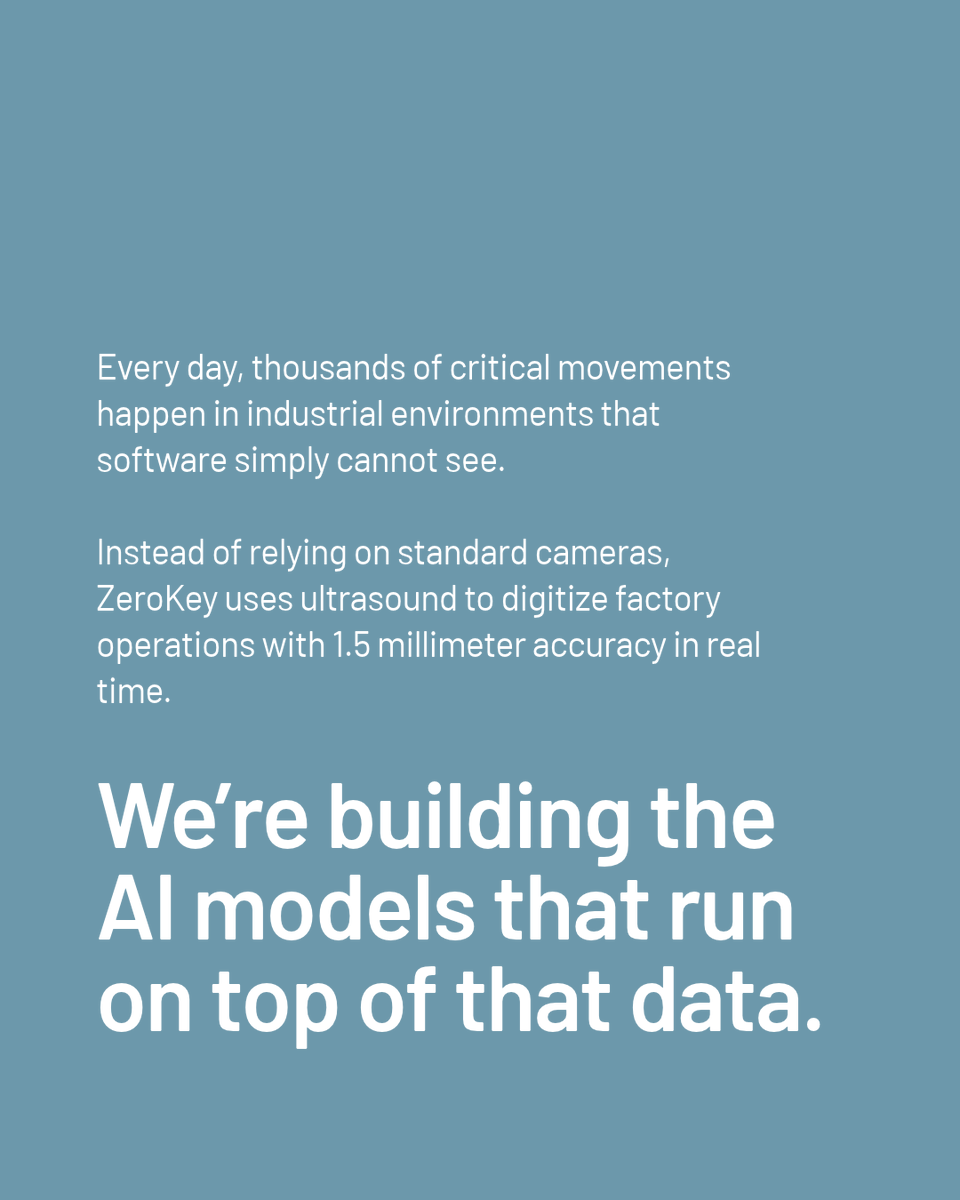
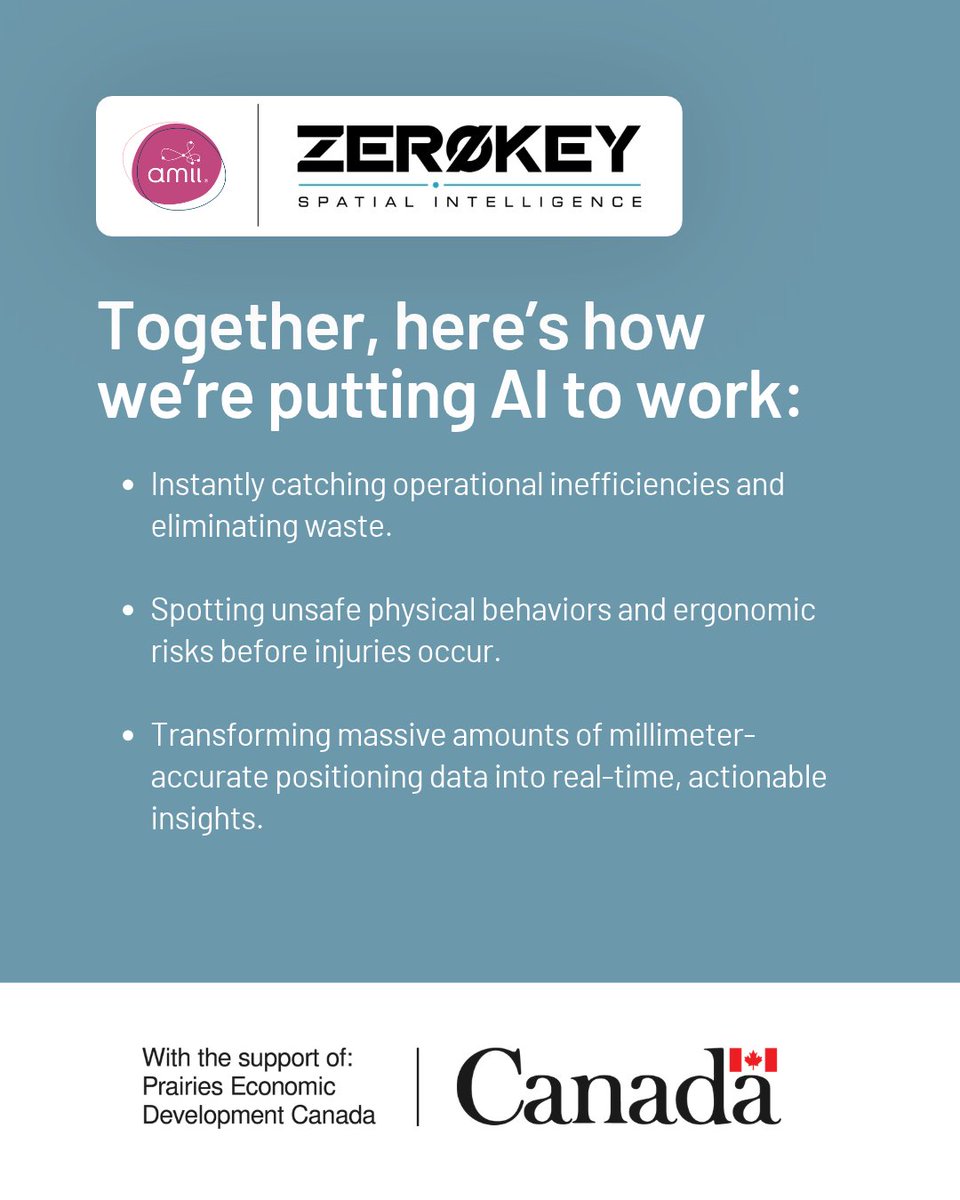
We’re proud to highlight our partnership with Calgary-based ZeroKey, a company actively building the spatial data layer for Industrial AI.
Supported by @PrairiesCanEN
#AI #MachineLearning #SpatialData #ManufacturingTech


Specialist tools are for specialist work. Looking at, measuring and sharing a scan should be as easy as opening a link. #SpatialData


Friday at 1pm: A two-hour @HarvardCGA workshop introduces spatial analysis in R. Registration required.
https://t.co/VKzhKUStgB
#RStats #GIS #SpatialData

Starting my GeoAI journey!
Tinkering with Python, GIS and spatial data step by step.
Lots of bugs, lots to learn.
#GeoAI #GIS #Python #SpatialData

📜Process-Based Geological Modeling Conditioning Through Multiscale Regionalized MPS
🔗https://t.co/eVQ7Sg3jQc
#GeologicalModeling #fluvialchannelmodeling #welllog #seismic #spatialdata #diageneticprocesses




📺 #WatchLive | Day 2 of the 12th UN-GGIM: Africa
Today's discussions: 🔹 Land Administration
🔹 Land Management Frameworks
🔹 Partnerships & Collaboration
🔹 Operationalizing the IGIF
🔹 Wrap-up & Conclusions
▶️ https://t.co/pLtKHqhM8A
#UNGGIMAfrica #GIS #SpatialData #Africa


@vangrid_io : The Signals AI Can't Fake
1/5
AI can generate any video.
Even ones that look like they were filmed on a real street. I keep thinking: how does Vangrid know the data it gets actually comes from the physical world?
#Vangrid #PhysicalAI #SpatialData #AI


Where, when, and how much?
BSTVC Desktop: spatiotemporal interpretability.
Local coefficients, global STVPI contributions & dynamic prediction.
Free for non-commercial academic use.
https://t.co/JXLS2BpEjs
https://t.co/l2MrC9HE3x
#GeoAI #SpatialData
Friday and Saturday: @HarvardCGA turns 20, marking the anniversary with two days of keynotes, panels, and workshops on where spatial research goes next.
https://t.co/1aXfmDvaUg
#GIS #GeographicAnalysis #SpatialData

#ArcGISPro #editing tips from the product team https://t.co/QvJ41L5rsr
#datamgmt #spatialdata #GIS #esri #arcgis #mapping #GISchat #geospatial @Esri @EsriFederalGovt @EsriSLGov @EsriAEC @EsriTraining @URISA


https://t.co/9fHHHdc3qX
Spatial is a metaverse virtual universe with many spaces created & linked together through a Spatial Portal
#spatial #spatialdata #spatialamerica #spatialweb #spatialanalysis #meta #metaverse #metadata #vr #virtualreality #xr #tech #startup #ecommerce

Searching for a destination in an app only to get a list of duplicate results? That’s raw #geocoding data.
Our latest release filters out that noise automatically for cleaner results and a smoother checkout experience.
Full update in the first comment.
#spatialdata


Dubai Municipality deploys smart robot for city surveying
https://t.co/bhjkXUBndm
#DubaiMunicipality #DubaiMunicipalityRobot #DubaiMunicipalitySmartRobot #Geospatial #Surveying #SmartRobot #LiDAR #SpatialData #SmartCity #DubaiTech #GCCBusinessNews @DMunicipality


Learn how to work with geographic data, create spatial visualizations, explore patterns, and turn location-based data into meaningful insights usin
https://t.co/CroNRTZxpf
#RStats #RProgramming #SpatialData #DataScience #GIS #DataVisualization #Statistics #Geospatial


Something is being built beneath the surface.
A network of people.
A network of devices.
A network of real-world observations.
Every contribution adds another piece to the map.
The Spatial Cortex is coming online.
@vangrid_io
#Vangrid #SpatialData #PhysicalAI


So glad to see this work, led by my previous master student Tianao Chen, is punlished today! The tool we developed, HisToSpatialCNV can predict spatial CNVs from histopathology data alone. #informatics #deeplearning #pathology #spatialdata

HisToSpatialCNV: an interpretable deep learning method predicting spatial copy number variations from histopathology images https://t.co/hGxN6YDWGv

Learn to create interactive 3D experiences: our CesiumJS tutorial guides you through creating a 3D landmark tour of Philadelphia with help from AI.
https://t.co/93eRwSqZvK
#GIS #Geospatial #WebGIS #3DMapping #SpatialData #CesiumJS #Storytelling #DataViz

A map shows you where.
Data shows you what.
Context helps you understand why.
Maybe that’s the part we’ve been missing.
#GIS #Geospatial #SpatialData #LocationIntelligence

Climate risk isn't spread evenly across a city. It settles in specific places. Mapping where—and understanding why—is one of the ways If Cities Could Speak is working.
Read more: https://t.co/rGqMzDG2gP
#IfCitiesCouldSpeak #UrbanHealth #ClimateChange #SpatialData #GlobalSouth #DataAndMaps


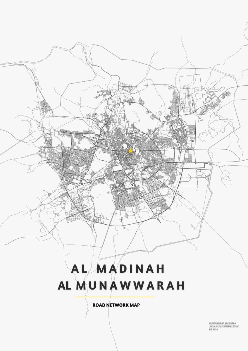
تصميم إخراج كارتوغرافي (Map Layout) لشبكة طرق المدينة المنورة باستخدام ArcGIS Pro
#GIS #ArcGISPro #Cartography #MapDesign #SpatialData
Trends for you
Most Popular Users

Elon Musk 
@elonmusk
241.3M followers

Barack Obama
@barackobama
118.8M followers

Cristiano Ronaldo
@cristiano
114.5M followers

Donald J. Trump
@realdonaldtrump
111.9M followers

Narendra Modi
@narendramodi
107M followers

Rihanna
@rihanna
98.7M followers

NASA
@nasa
92.3M followers

Justin Bieber
@justinbieber
91.8M followers

KATY PERRY
@katyperry
90M followers

Taylor Swift
@taylorswift13
84M followers

Lady Gaga
@ladygaga
75.5M followers

Virat Kohli
@imvkohli
73.4M followers

Kim Kardashian
@kimkardashian
70.8M followers

YouTube
@youtube
68.7M followers

Neymar Jr
@neymarjr
66.4M followers

Bill Gates
@billgates
65.2M followers

Selena Gomez
@selenagomez
63.1M followers

The Ellen Show
@theellenshow
62.2M followers

CNN
@cnn
61.7M followers

X
@x
60.6M followers