Give your real estate app instant location clarity with photorealistic 3D property models, real-time listing filters, neighborhood overlays, and parcel boundaries.
Explore map features that help your users find their dream property faster. Link in thread.
#RealEstate#PropTech
Want to integrate 3D Gaussian Splats onto your web maps?
Our step-by-step developer guide shows how to convert, align, and stream #GeoSplats like this coastal scene via WebGPU.
Guide in the first reply ⤵️
#WebDev#GIS#WebGPU#MapTiler
Give your project a sleek, modern look. With our v4 map styles, every map includes a beautifully designed dark variant for design consistency, including Ocean v4 Dark.
#MapTiler#maps#darkmode#gis
Join our annual online conference for major product updates and expert talks on the future of mapping technology
Reserve your spot today: Link in the first reply.
#MapTilerConnect#GIS#Maps
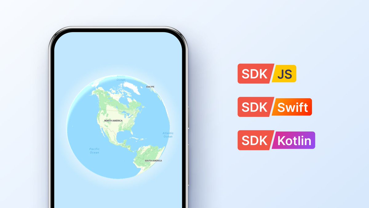
No more #StringlyTyped style URLs in your mobile map apps.
Our native Swift & #Kotlin SDKs offer type-safe styles with dark/light variants, #SwiftUI & Jetpack Compose support, and one-line 3D terrain.
Build mobile maps faster: https://t.co/sHHNi70cLY
#iOSDev#AndroidDev
Join Jaroslav Polacek & Radek Duba on #Discord for a live session on photorealistic 3D Gaussian Splats (#GeoSplats) via WebGPU.
Practical drone tips, WebGPU demos & open Q&A.
Thu, Oct 15 | 4 PM CEST / 10 AM EDT
RSVP link in thread.
We’ll be at #FOSS4GUK next week! If you are attending make sure you see @MapNavTom's talk about the MapTiler #QGIS plugin; he’s on at 15:00 in Create 1.
Not at FOSS4G UK? Find out about the plugin here: https://t.co/EDUdFa4m0Z
#QGIS#GIS#FOSS4G#OSGeo#OpenSource#Geospatial
As hundreds of balloons take flight at #BalloonFiesta, pilots & crews navigate safely using Kubicek FlyMate 🎈
We’re super proud to say that the app (in thread) delivers MapTiler’s 3D terrain, satellite imagery & offline vector maps for precision flights.
Many happy landings!
@myneur@myneur Hi Petr, improvements are coming to these mountains that should improve their heights and shapes. Keep an eye out here for more details in the coming months.
Distance alone can’t tell people if a route is a gentle stroll or a steep climb.
The MapTiler Elevation API lets you query global altitude data in milliseconds so your users get accurate trail profiles before they head out.
Find out more - link in thread.
#GIS#Hiking#3DMaps
Monitoring job sites in 3D usually means clunky software and heavy point clouds.
We captured a construction site in Brno with MapTiler #GeoSplats to show how teams can stream photorealistic site progress in a browser without lag.
Link in first reply ⤵️
#ConstructionTech#GIS
@clem_mas Hi @clem_mas, you can display the globes in Swift and Kotlin with our SDKs, as they don't rely on MapLibre Native. As explained in the blog post, we developed our own, so we had more control over the timing and priority of new features like this.
Mobile dev teams spend too much sprint capacity managing map setup.
We built native Swift & Kotlin SDKs to save you time! It’s pre-wired to MapTiler Cloud, so your API key, styles, and search work out of the box.
Why we built our own mobile SDK: https://t.co/2S7eq871Gv
#SDK