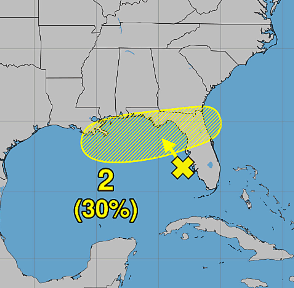
The AI ensembles have perked up today on developing this disturbance. This is mostly mid-level activity, however it is clearly a robust circulation so if it can stay over water it may have enough time to work its way down to the surface and spin up a TC along the NE Gulf Coast. We are preparing to fly a LLI as early as Sunday.
Radar Update (3/29, 3:38 pm) | Right on schedule, isolated showers have begun to develop in the southern parishes late this afternoon. A few more may pop up over the next few hours.
#Louisiana#WeatherUpdate#lawx
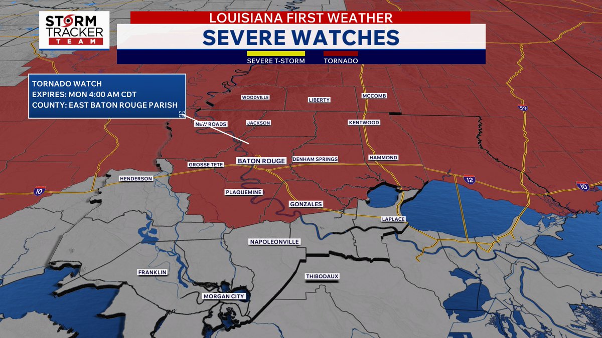
TORNADO WATCH (Issued until 4:00 am, Mon.) for parishes/ counties along and north of I-10/I-12. | a Tornado Watch has been issued for the area. Make sure your weather alerts are enabled and loud enough to wake you up if needed.
#lawx#mswx#Louisiana#severewx#WeatherUpdate
A TORNADO WARNING has been issued for Point Coupee and West Feliciana parishes until 7:45 pm.
Take shelter now!
Coverage begins on Louisiana First News on air and online.
#tornadowarning#louisiana
A TORNADO *WATCH* has been issued for the entire Baton Rouge region until 2:00 A.M. Thursday (tomorrow) morning.
Have multiple ways to be alerted tonight; ensure they can wake you if needed.
(3/11, 6:55 pm)
#severewx#lawx#mswx#Louisiana#batonrouge
Road Conditions Deteriorate (3/7, 11:40pm) | We're seeing reports of vehicles getting stalled on flooded roadways. This video is of I-10 at south Acadian Thruway.
Go home and stay home.
#lawx#batonrouge#WeatherUpdate#SevereWeather
Traffic Alert (3/4, 3:00 pm) | Both east and westbound on I-10 on the Atchafalaya Basin Bridge near Whiskey Bay are at a standstill due to traffic crashes involving 18-wheelers.
#traffic#i10
Traffic Alert (2/25, 10:15 pm) | There is a traffic incident on the MS. River Bridge. The 2 left lanes are blocked on I-10 West before LA 1 (Port Allen) due to a crash. Congestion is now approaching I-10/110.
#Traffic#i10#batonrougetraffic
Red Flag Warning (Issued for Sunday 2/22) | Have plans to burn some things tomorrow? No you don't.
This is due to the combination of breezy northwesterly winds and low relative humidity. So, it'll feel great! Just not for fire.
#lawx#mswx#Louisiana#WeatherUpdate
Radar Update (2/21, 3:12 pm) | A few showers have developed ahead of a slow moving cold front this afternoon. All are behaving at the moment. We'll be monitoring these showers and isolated storms as the evening continues. I'm not too concerned about it though.
#lawx#mswx
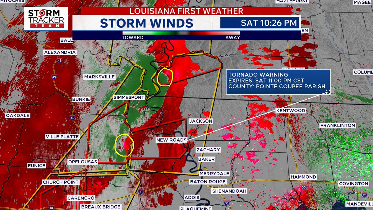
TORNADO WARNING issued for Wilkinson Co. until 11:15 pm, for Point Coupee and West Feliciana parishes until 11:00 pm.
Get to your safe place now!
Live coverage is on air and online at Louisiana First News.
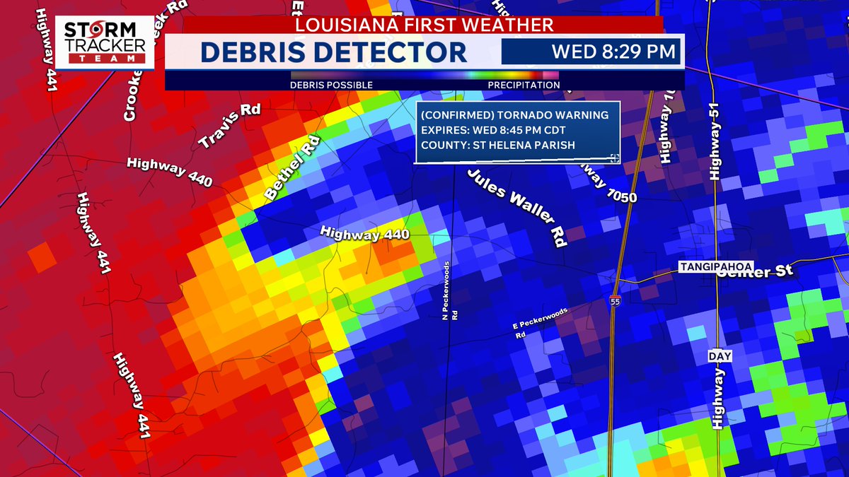
Radar Check (2/14, 8:22 pm) | A squall line that is pushing east-southeastward with T'storm and Tornado Warnings dashed along it. Some of those are confirmed Tornado Warnings (via radar). If you have friends and family in Alexandria, wake them up.
#lawx#Louisiana#severewx
TORNADO WATCH (Issued until 2:00 am, Sun) | A Tornado Watch has been issued for the majority of our area. Continue to have more than one way to receive weather alerts tonight. Make sure they can wake you up if needed!
#lawx#Louisiana#batonrouge#WeatherUpdate#severewx
TRAFFIC INCIDENT (2/7, 7:34 pm) | The exit ramp from I-10 West to I-12 East , Exit 159, is blocked due to a vehicle crash. Congestion is approaching Bluebonnet Blvd.
Avoid the area if possible.
#batonrougetraffic