💥Lancement de @WomenCopernicus Podcast 💥
🌎Venez explorer le monde de l'Observation de la #Terre au travers de voix de #femmes travaillant en #Bretagne
👩🚀On y parle de #sciences et des questions de #genre dans le parcours des intervenantes
➡️https://t.co/EdKG254kUB
📅 mer. 13 oct.
Retrouvez @HytechImaging au salon #Pollutec2021
🗨️ venez discuter au stand @ConnectbyCNES 📍Hall4 Stand84
🌊🚢🛰️ Découvrez comment l’innovation spatiale accélère les évolutions du maritime ➡️Forum Mer et Littoral à 16h50
Plus d'info ⤵️
Cartographier l’anthropocène 🌎👀
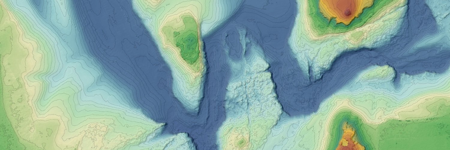
L’activité humaine induit des changements accélérés du territoire. Le défi est de les cartographier en continu pour doter la Nation d’un poste de pilotage de la transition écologique
Mon point de vue dans Ouest France 👇🏽
https://t.co/R0E7M2kpYl
The 14th International Conference on Archaeological Prospection (#ICAP2021) has been underway in (virtual) Lyon since yesterday! You can find the program of abstracts and links to the #openaccess proceedings here: https://t.co/6ng79SFRQ2 & follow @girlwithtrowel for live tweets
Nominé #5 ▶️ CALHYB
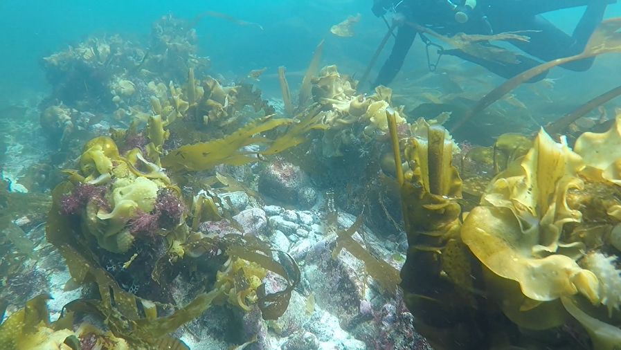
Capteur Aérien léger couplé Lidar/HYperspectral pour la mesure de la bathymétrie et la cartographie des petits fonds
Présentation du projet par Marc Lennon 👉 https://t.co/VxETzHlHlj
Porté par @HytechImaging
Le jury, c’est VOUS ! https://t.co/B1l6tG5ixF
@GwnMorin@BorisMericskay@UMR_LETG@POMazagol Pour se faire une idée, l'USGS publie régulièrement des exemples de case-studies liés au programme national US "3DEP" : https://t.co/8fjZeb8Xls
@GwnMorin@BorisMericskay@UMR_LETG@POMazagol De nombreux pays ont déjà bien avancés dans cette voie (Royaume-Uni, Pays-Bas, Danemark, Norvège, Australie, US, ...). Les applications potentielles ont déjà été citées, et la mise à dispo de telles données engendrera très certainement de nouveaux usages.
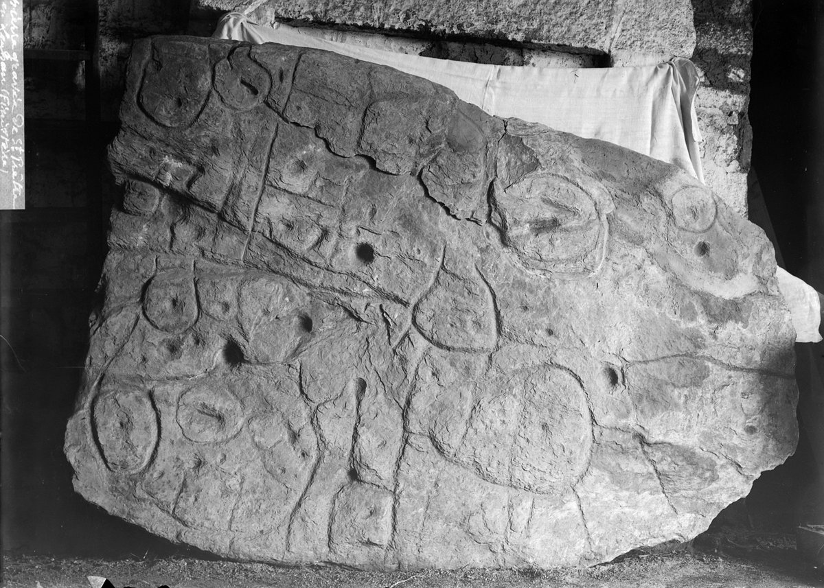
💬 Découvrez notre entretien avec Yvan Pailler, chercheur à l’Inrap et @UBO_UnivBrest et Clément Nicolas @bournemouthuni qui dévoilent leurs conclusions sur cette exceptionnelle découverte 👉
https://t.co/CWICdS3jsC
Des chercheurs de l'Inrap @bournemouthuni@CNRS et @UBO_UnivBrest viennent de mettre en évidence la plus ancienne carte en Europe, datant de l'âge du Bronze ancien. La recherche porte sur la dalle gravée de Saint-Bélec (Leuhan, Finistère) et paraît dans le bulletin de @SPF_Infos.
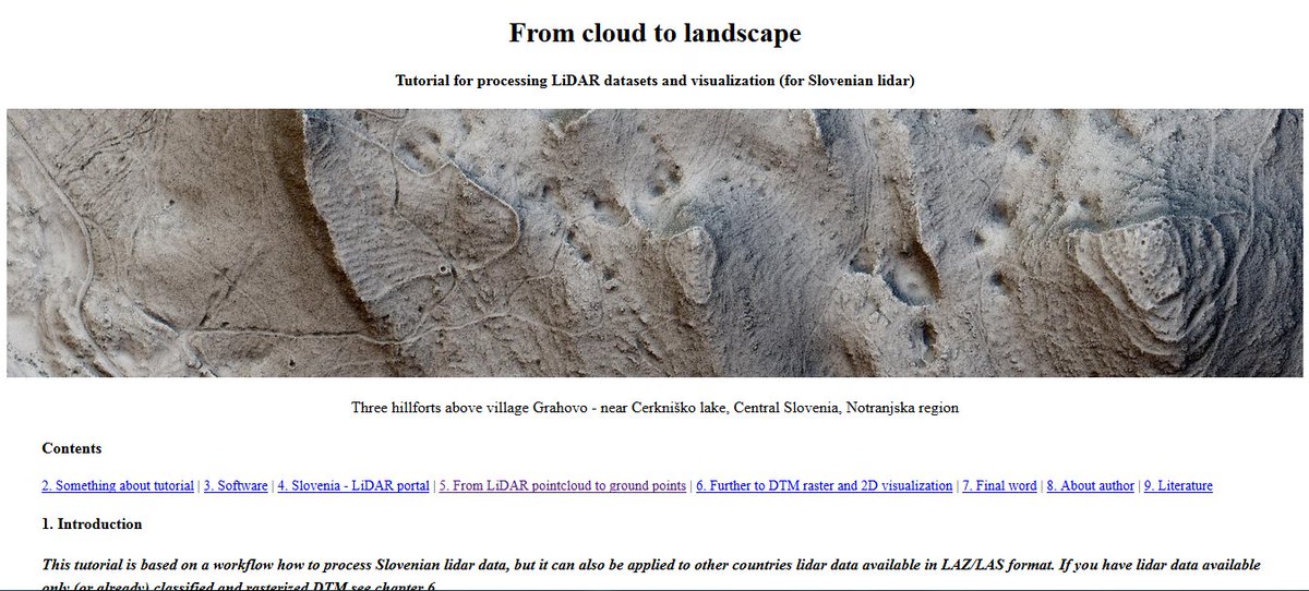
Im really happy to announce a release of a #LiDAR#tutorial: From cloud to landscape https://t.co/54RV7k8WlL
It may look a little to complicated, but try the workflow and you will see :) Im open to suggestions. Share if you think it is good or helpful. #FridayLiDAR#archaeology
Our new publication out now in @JCAA ! 👇
Interested in #remotesensing and #archaeological prospection ?
Here we explored the extraction of information from #LiDAR-derived terrain using #DeepLearning. Case study on the area of #Carnac (Morbihan, France).
The 4th volume of the JCAA has begun, with the new publication: "Combined Detection and Segmentation of Archeological Structures from LiDAR Data Using a Deep Learning Approach." By Guyot, A, Lennon, M, Lorho, T and Hubert-Moy, L.
https://t.co/R0BjPSN0Hr