While Northern Nevada is only seeing some cloud cover because of a low just west of California, as it moves east and combines with moisture, much of the country will be dealing with a significant winter storm. https://t.co/X2NlrzRyEs
Travel will be very challenging this weekend in the Sierra as a moderate to strong atmospheric river moves through the region. This one has colder air too. Reno will see more wind than rain. The foothills could get some snow too. https://t.co/1ZcXU1oeL8
Light snow will fall in northeast Nevada this weekend. Stay tuned for a blog later today. We're updating the website with regular weathercasts throughout the day, so you don't have to wait until 5pm to be in the know.
https://t.co/GkrGMhd85l
Snow is likely around the Great Lakes through Thanksgiving morning, with another storm possible in the central US over the weekend. Luckily, it will be a storm free Thanksgiving in Nevada and California. Great news for local travelers. https://t.co/FXpBKy3AdE
Saturn's rings will appear to disappear on Sunday. If you have a telescope, it will be a neat sight to see. Skies will be clear too. Blog is posted. https://t.co/mQRLw0ozZq
Rain totals are in and they are impressive. Much of the Reno area got over a quarter of an inch, and parts of the Tahoe Basin got multiple inches. Click on the link below for numerous reports. https://t.co/5Nhr06i4CS
The Winter Weather Advisory for the Tahoe Basin now starts at 4pm on Thursday, where up to six inches of snow could fall above 8000'. South Tahoe could pick up around an inch of rain. Blog is posted. https://t.co/2sg4e79tbp
Atmospheric rivers can bring a lot of rain to the west coast, including the Sierra. Sometimes though, Reno sees a ton of wind and not much rain. I explain why in my latest blog. Click on the link to read it.
https://t.co/ptt7FDeM72
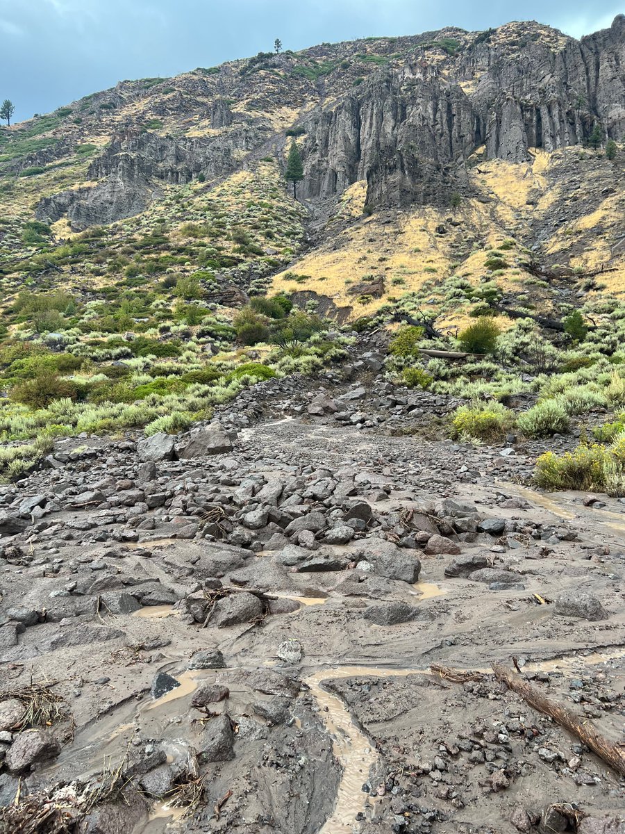
#TrafficAlert #2 lane blocked WB I-80 near Floriston due to a mudslide. Caltrans crews en route with equipment to clear debris. No ETO, expect delays. EB I-80 is also seeing some slowdowns. Drive safe & check #QuickMap for updates https://t.co/X5OiS6OEtB
@CHP_Truckee@NWSReno
We're storm free in Reno for the rest of tonight, with ongoing showers in South Tahoe, Lovelock, and Winnemucca. Storm chances goes down as the night progresses. More storms on Monday and Tuesday. Watch us live at 11pm by clicking on the link below.
https://t.co/LbsKxoF3us
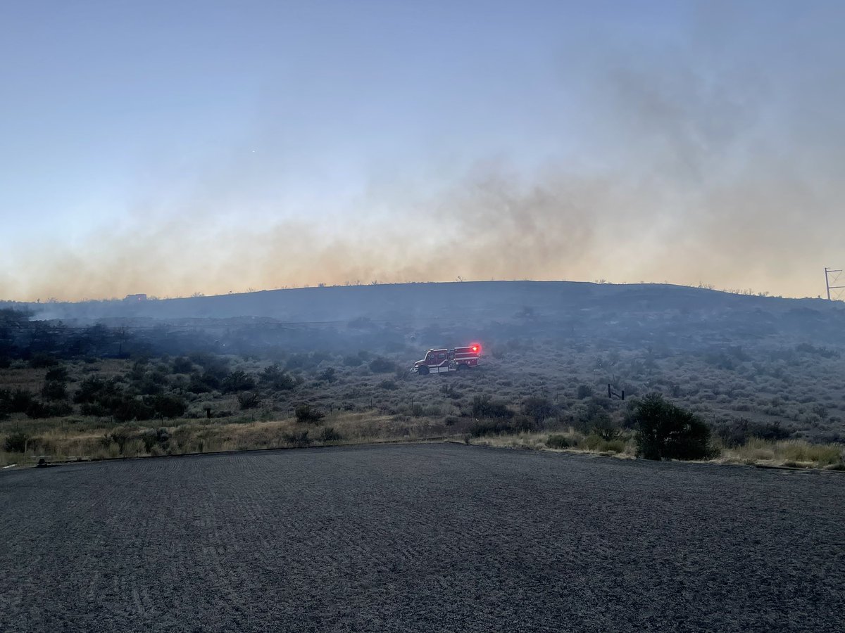
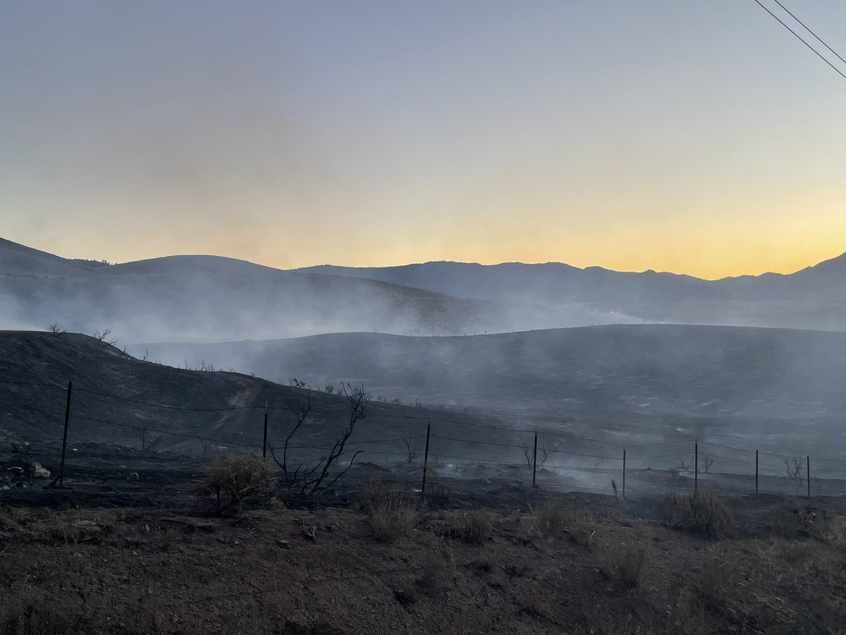
⚠️Air attack continues on #PeavineFire. Approximately 50 structures threatened. Crews continue to aggressively attack fire on the ground and in the air. North Valleys Library is evacuation point.
More storms will develop on Saturday, with the potential for flash flooding, gusty winds, and hail. Blog is up and I'll have an explainer on flash flooding coming up at 6:30 and 7pm.
https://t.co/iZJ4wt3DPI