📣Job Announcement
Join the U.S. Geological Survey (USGS) as a Computer Scientist and help lead the future of land-change monitoring using AI and machine learning.
This position will lead the development of innovative land characterization and monitoring approaches, applying new techniques across a wide range of spatial and temporal scales at the USGS Earth Resources Observation and Science (EROS) Center.
🌎 Location: Sioux Falls, South Dakota
🗓️ Closing date: October 30, 2026
Some specific duties include:
• Leading the research, development, and application of AI, machine learning, and geospatial analytics to map and monitor land cover, land use, and ecosystem change nationwide
• Transitioning research and technical innovations into operational, national-scale land-change monitoring solutions
• Providing technical and scientific leadership on priority projects at USGS EROS
• Communicating research and results with external partners through publications, conferences, and professional meetings
🔗 Open to the Public: https://t.co/zPmyRIohfu
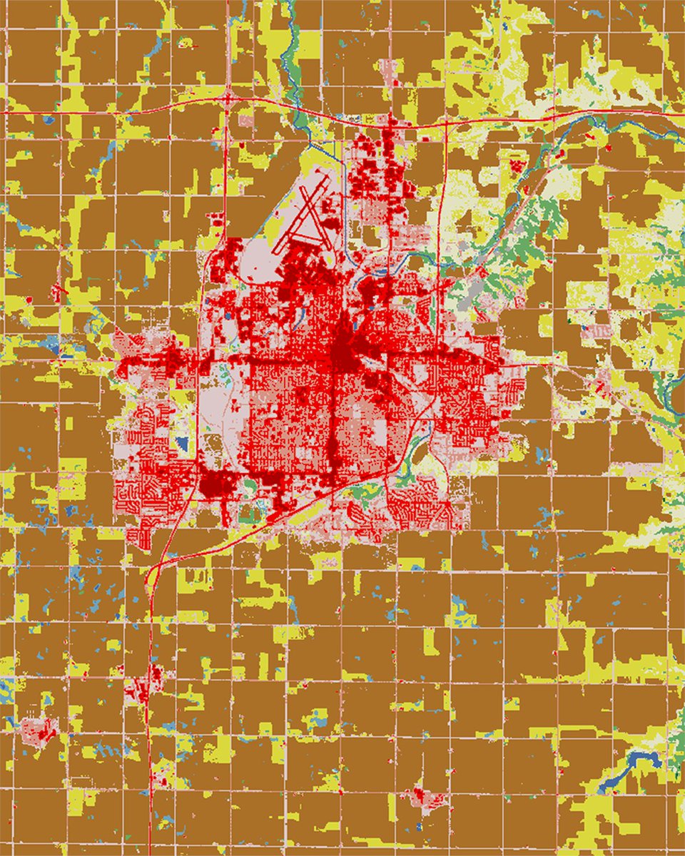
📷1 &2: Annual National Land Cover Database (NLDC) maps of Sioux Falls, South Dakota, image on left is from 1985 and image on right is from 2025. Red represents developed land, brown is cropland, yellow is pasture/hay, and green is forest. Credit: USGS
#AIjobs #jobopportunity #NowHiring
We are proud to welcome Ivanhoe Atlantic as the Geopolitics content pillar sponsor at Mining Indaba 2027.
Explore the 12 Content Pillars here 👉https://t.co/mOBy1b5t8p
On 16 October 1975, GOES-1 became the world's first operational geostationary weather satellite.
From one fixed position, it gave forecasters a near-real-time view of changing atmospheric conditions.
Hold the view. See change early. 🟠🔵
#SpaceHistory#ASTEROIDXRP