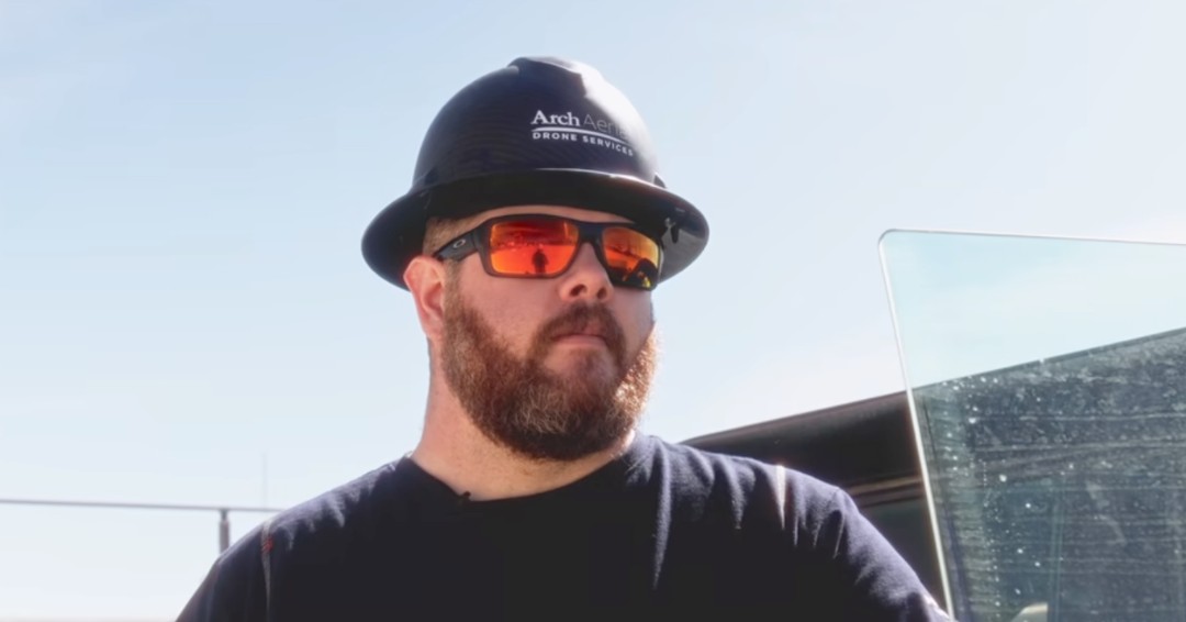
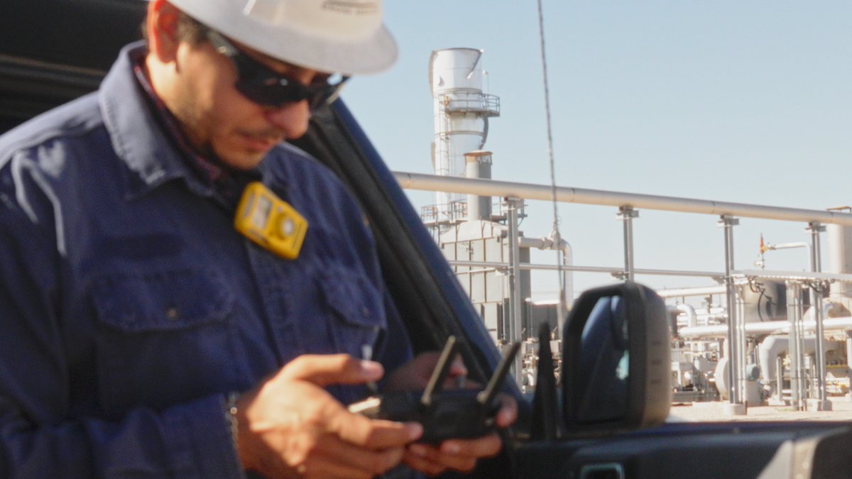
This is Julien Alameda, our BVLOSS operations lead.
The Skylane drastically changes what a single crew can cover in a day.
Getting that right is the work before the work.
#DroneOperations#UAS#FieldWork#ArchAerial
We discovered a hit for a Texas pipeline operator some years back. The major worry was that the hit occurred in the middle of a residential neighborhood…
We honed in on what seemed to be an outdoor fireplace that had been left on. There was a huge sigh of relief…
Facility operations and maintenance runs on what you can see.
A facility runs better when the people responsible for it are looking at detailed, quality imagery.
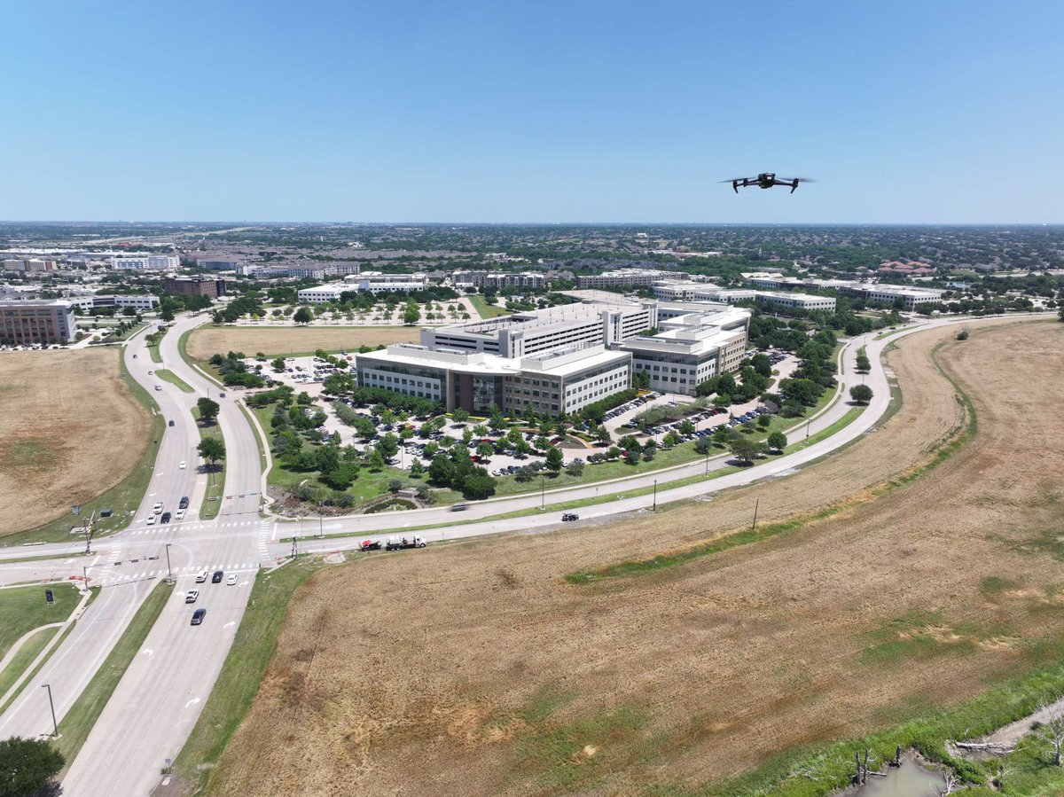
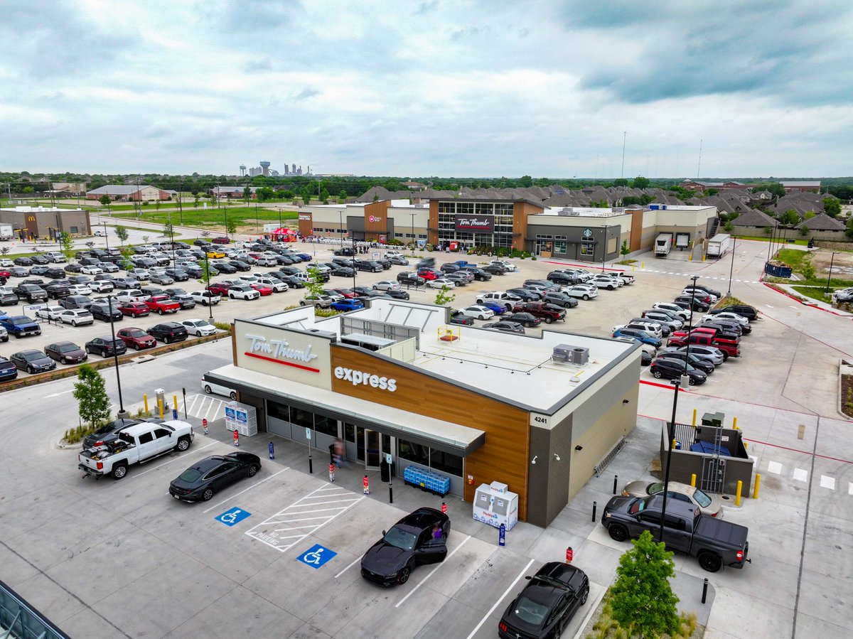
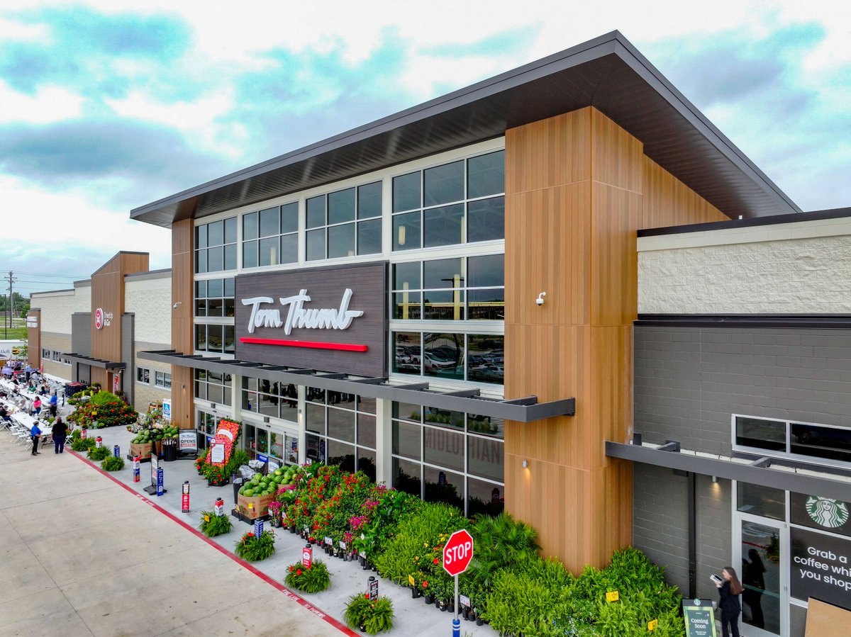
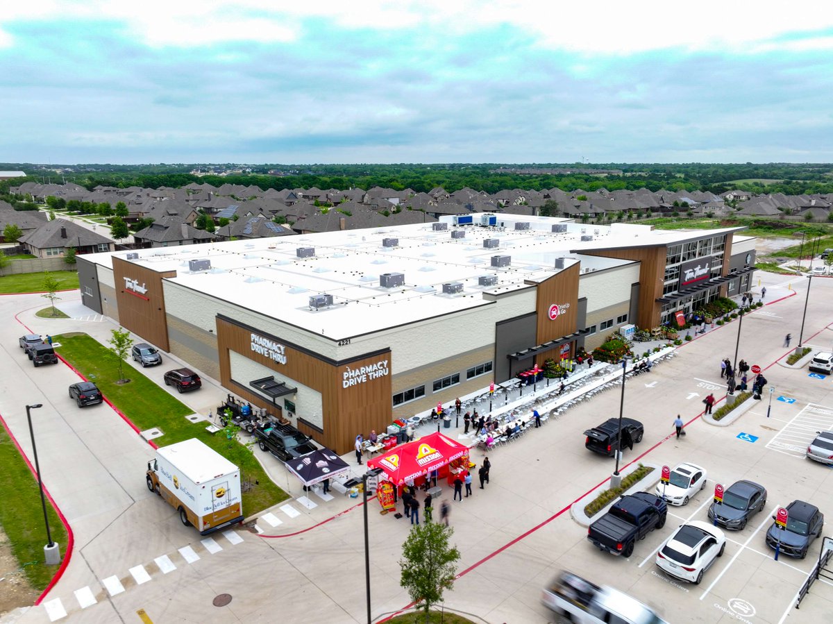
The DFW metroplex isn't slowing down.
Plano, Prosper, McKinney, and Fort Worth projects (just to name a few) are breaking ground faster than most teams can track.
Most facility documentation is flat. Literally.
Photos from a site visit, PDF inspection report, a 2D plan view in the compliance folder. All useful, but non of them let you walk around the asset from your desk.
The experience of seeing your own asset this way is genuinely fun.
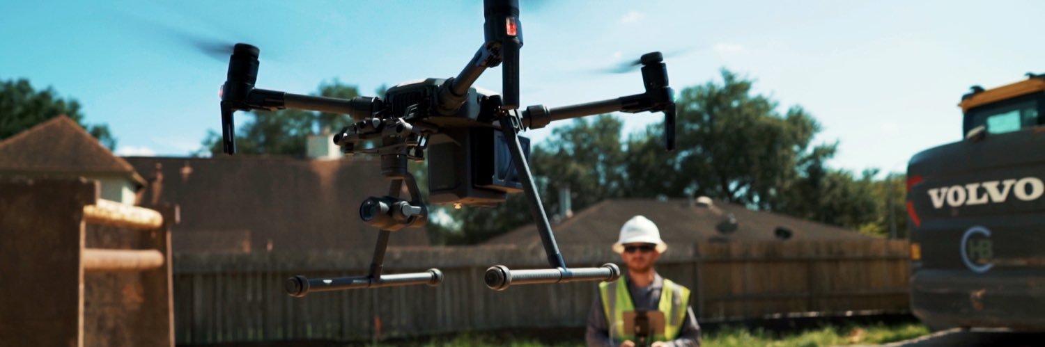
The first generation of commercial drones got us in the air.
The current generation lets us deliver what operators actually need.
When we started flying more than a decade ago, the platforms were state-of-the-art for the time and barely fit for the job in hindsight.
The practical impact for commercial drone programs:
- Existing DJI fleets remain operational. No replacement timeline forced by regulation.
- Future fleet expansion using new DJI models is constrained.
Source: https://t.co/IGZ3qGKodm
Serving professionals within the energy, construction, and water utility industries since 2014.
Grateful for the operators, contractors, and crews who keep these systems running. Have a great weekend.
A very personal business that sends out enterprise-level deliverables.
We pride ourselves on clear, comprehensive, and geo-located ROW data.
Automated delivery, yet still working hand-in-hand with clients.
This Memorial Day, we honor the brave men and women who have made the ultimate sacrifice for our freedom.
We recognize the importance of dedication and bravery, embracing those values that drive us everyday. #MemorialDay#HonorAndRemember
Documenting from the air is the #1 way to view your ROW situation whether you're investigating encroachments or tracking the repair, maintenance, or installation of midstream infrastructure.
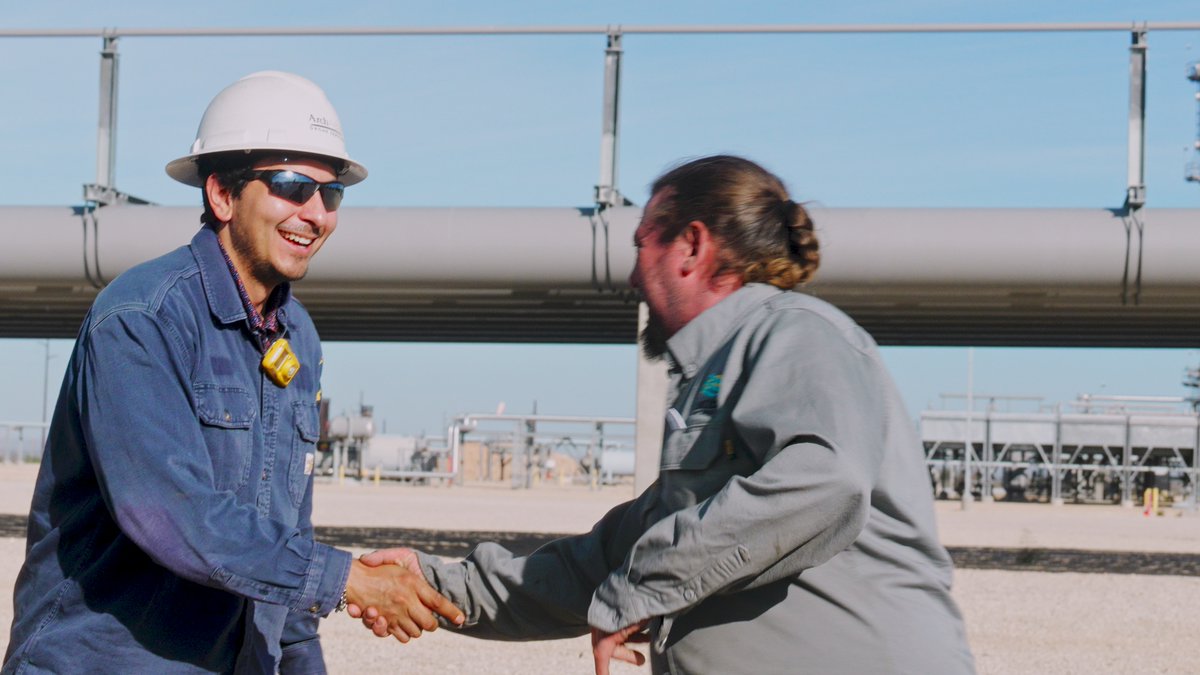
In order to operate in the most efficient manor possible, you need a strong core team of managers.
The Arch Aerial staff are some of the best in the industry. We are always confident in the task-at-hand because of the sheer capability in pre-planning and leadership.
Sit down with your team this week and ask one question: how much detailed imagery do we actually have on our line right now?
There's no closer look at your line than from a drone built for it.
Your line, your reporting format, your level of detail.
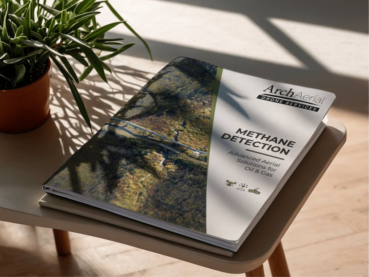
→ Geotagged coordinates of every confirmed hit, Source-isolated imagery from the hyperspectral payload (methane, CO₂, optical gas)
→ Wind records and pilot metadata attached to every dataset
→ A formal documentation package built per client
Hundreds of miles of pipeline data in a day.
That's what BVLOS changes about linear asset coverage, not just the speed, but the data density. Photogrammetry, LiDAR, methane readings, encroachment photo/video. All geo-tagged.
The teams that win at the big stuff are obsessive about the small stuff.
Pre-flight checklists. Payload calibration. Battery rotation. Route Planning. Flight logs.
None of it makes the highlight reel. All of it is why the highlight reel exists.