We are dedicated to the protection and safety of Arkansas. We strive to provide the most accurate forecast and weather coverage on Twitter for Arkansas.
Fulton-Sharp-Izard-Independence-White-Lonoke-
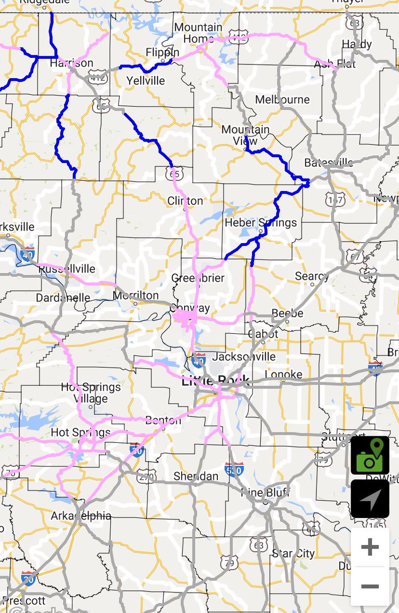
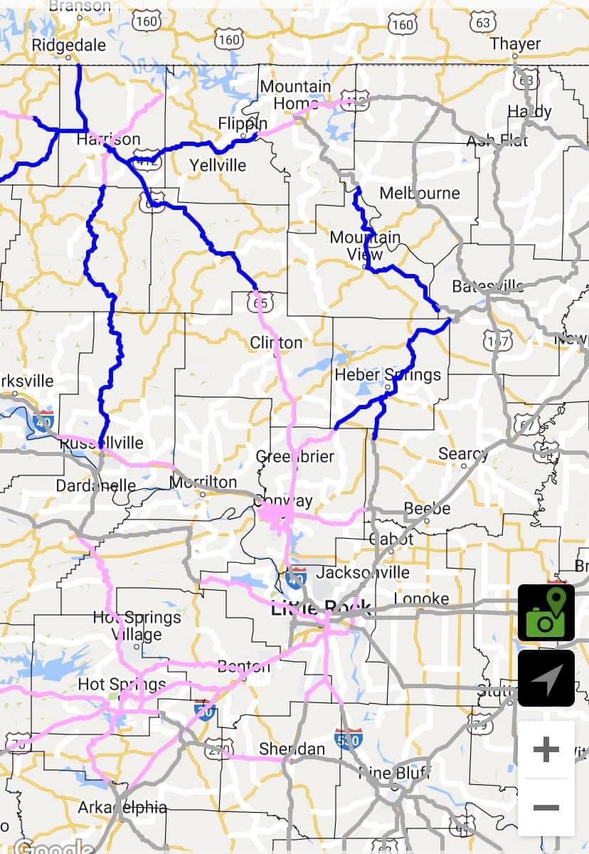
...WINTER WEATHER ADVISORY IN EFFECT UNTIL 1 PM CST THIS
AFTERNOON...
* WHAT...A wintry mix of wet snow and sleet expected. Total new
snow accumulations of a dusting up to one inch with locally
higher amounts.
WINTER WEATHER ADVISORY IN EFFECT FROM 4 AM TO NOON CST
FRIDAY...
* WHAT...A wintry mix of wet snow...light sleet and/or light
freezing rain expected. Total snow accumulations of a dusting up
to one inch. Locally higher amounts are possible in the higher
terrain.
...WINTER WEATHER ADVISORY IN EFFECT FROM 4 AM TO NOON CST
FRIDAY...
* WHAT...Moderate to occasionally heavy snow expected. Total snow
accumulations of one to two inches with locally higher amounts.
* WHERE...Higher elevations in the Ozarks.
* WHEN...4 AM to 12 CST Friday.
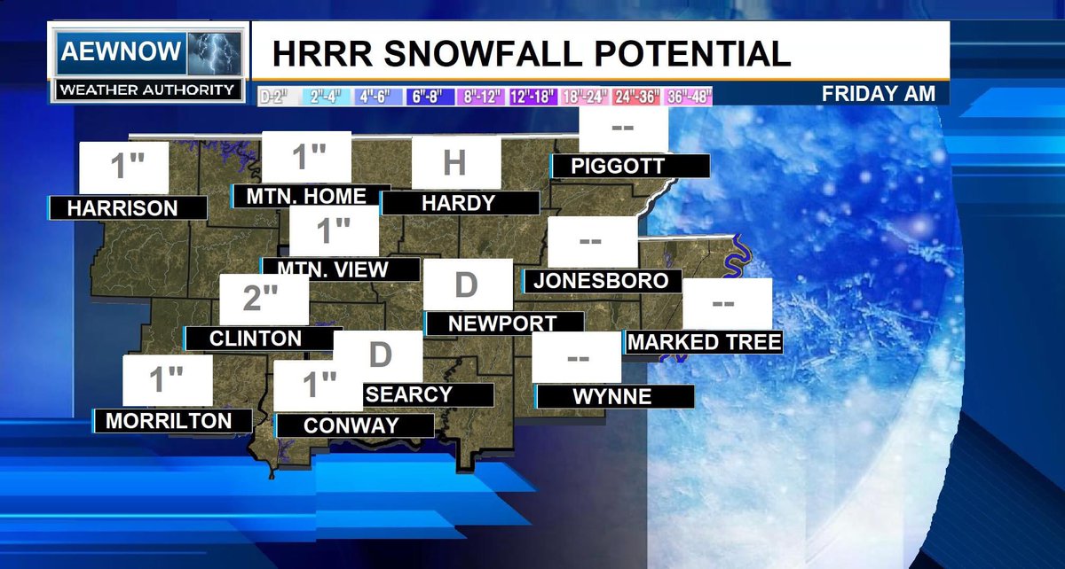
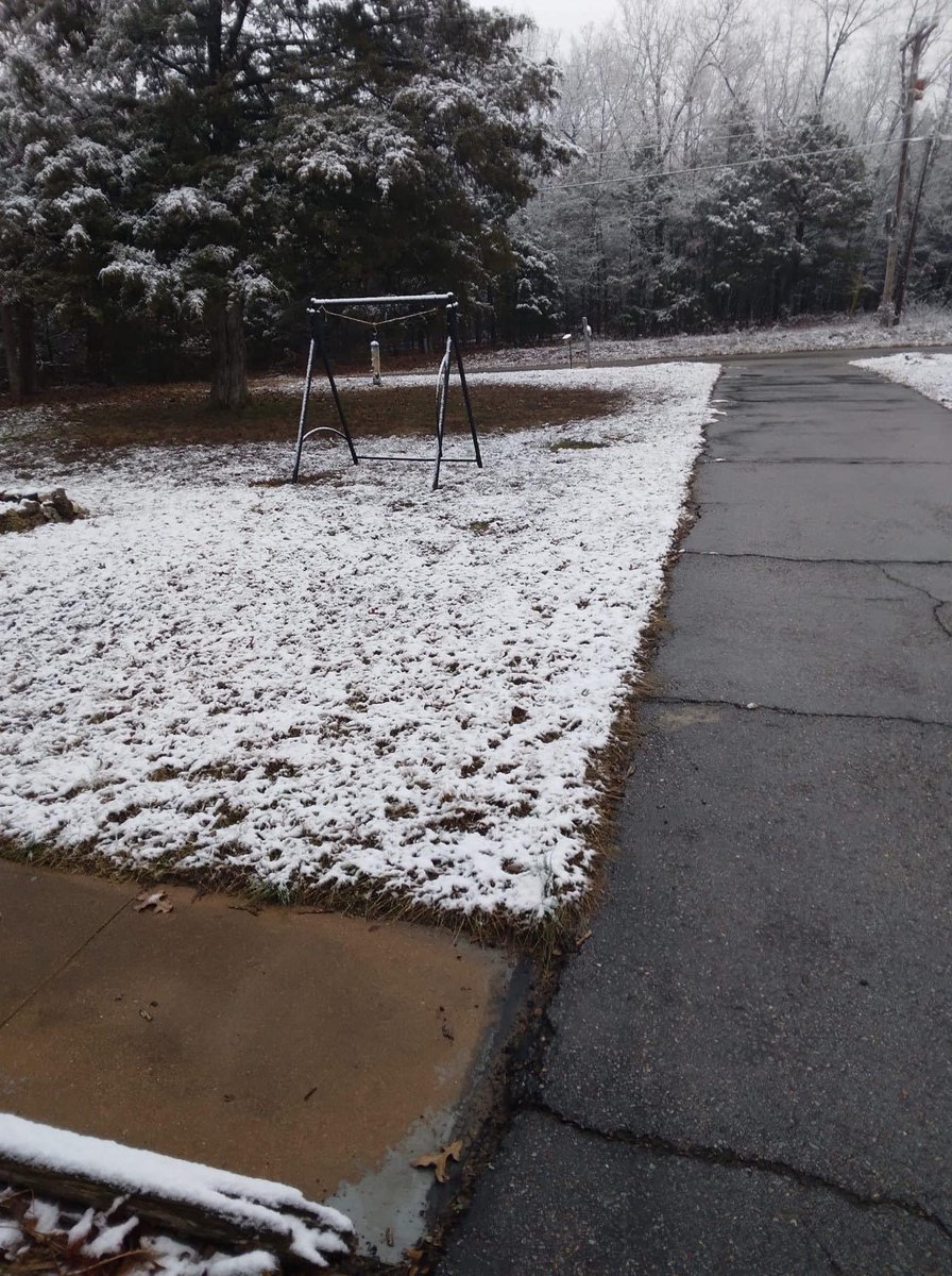
The HRRR Still showing a little snow for in the morning over Northern Arkansas with most of the areas seeing a Dusting to 2" of snowfall over the Higher elevation.
This would be increasingly light and most areas would see patchy accumulation specially the further up into the Ozark mountains you go more just a heavy rain event across southern Arkansas into Western Tennessee with a little mix especially across the interstate 40 corridor.
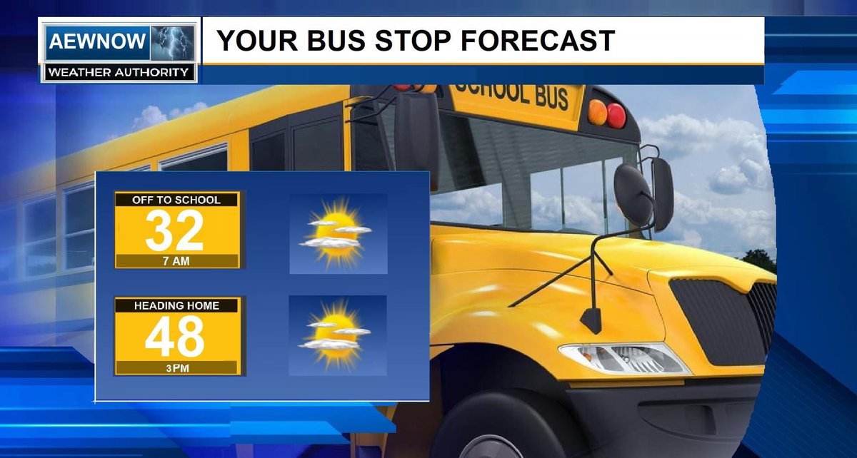
As many of you know, we are expecting a storm system to come into our area on Friday morning. We will see dramatically cooler air back behind the front and some areas, especially across our northwestern areas and some into central could see a switchover to light snow.
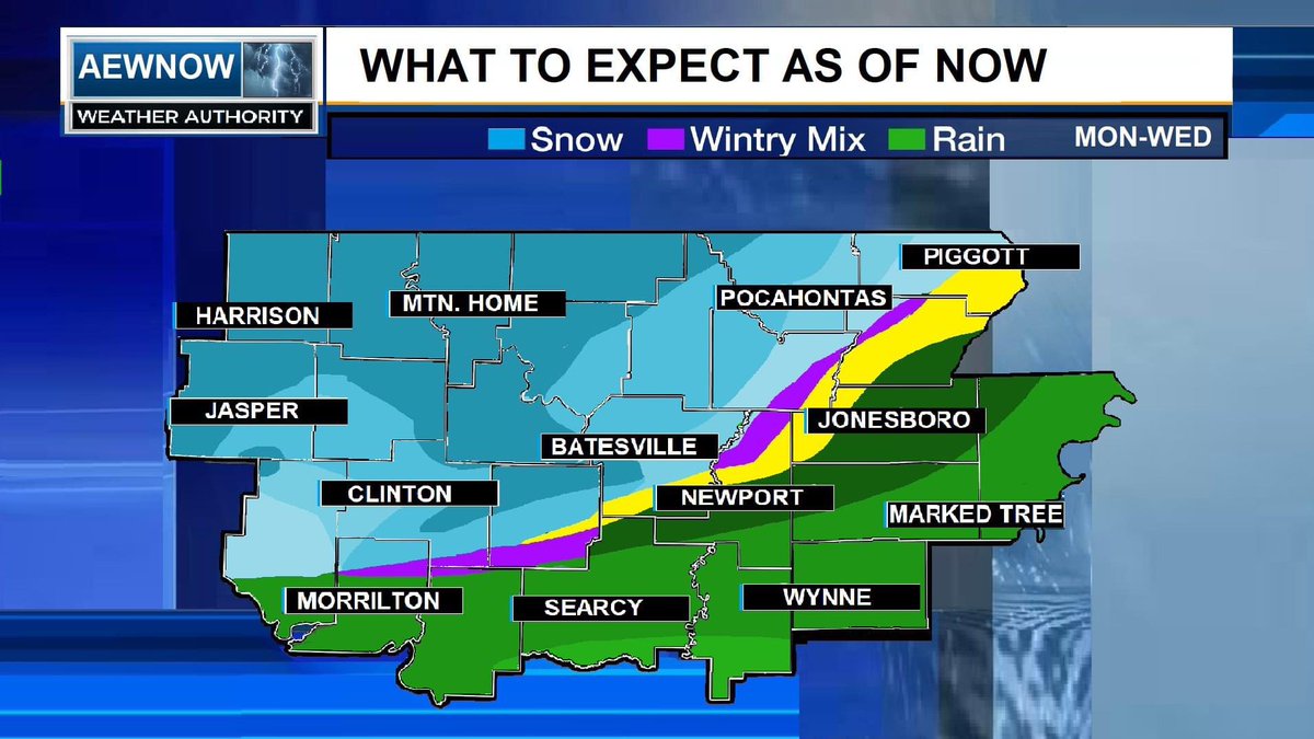
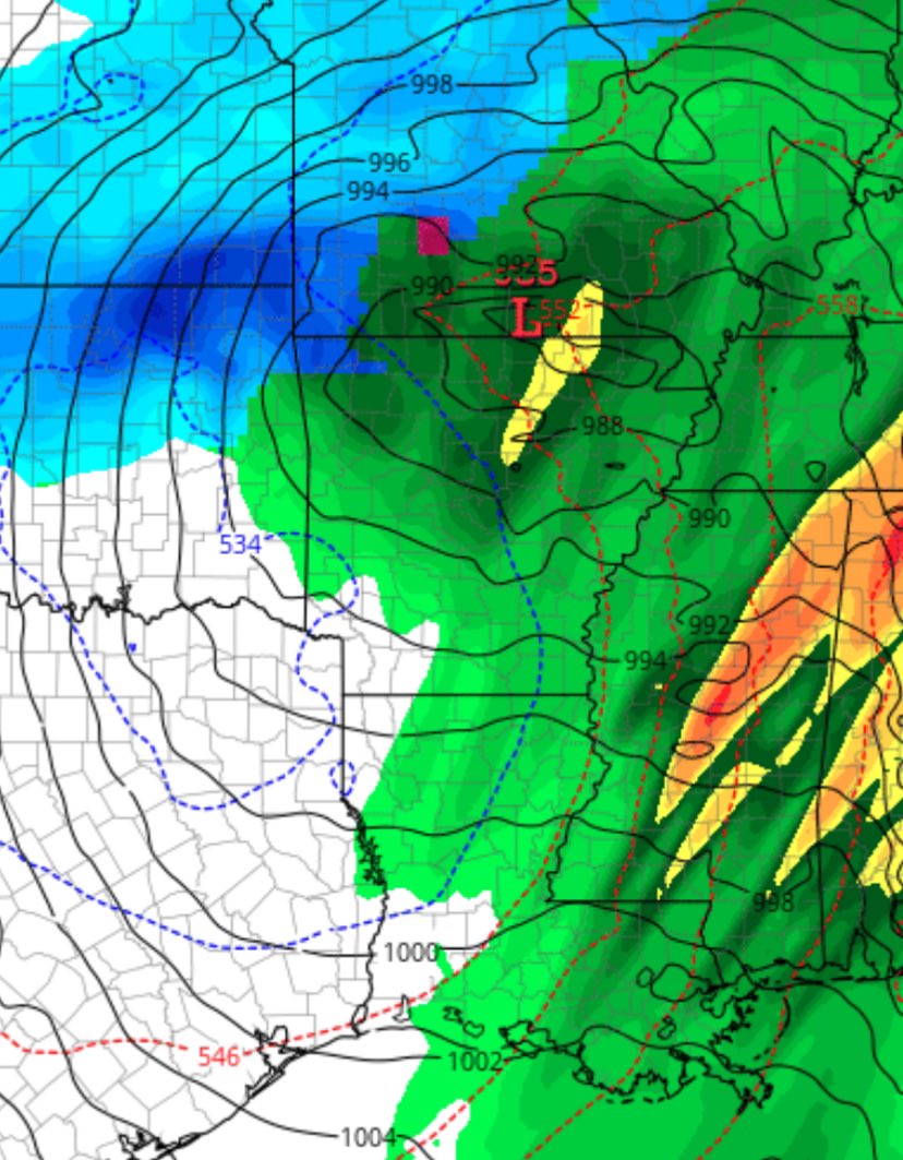
I’m gonna keep it very close out a major storm system that will affect our area next Tuesday into Wednesday a major low pressure area will move across southern Missouri in north Arkansas, bringing heavy rain to the south and heavy snowfall across southern Missouri in Oklahoma.