Official site of the Army Geospatial Center. Providing #USArmy timely, accurate, and relevant geospatial information and capabilities. (F/RT/L ≠ endorsement)
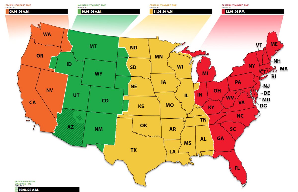
#GeoIntelligence. #DYK that in addition to maps and atlases, phone directories, business listings, transportation schedules, industry summaries, and tourist guides can be great sources of geospatial information.
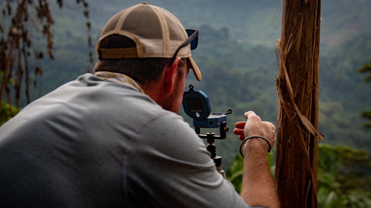
#CiviliansAndMapping. Defense POW/MIA Accounting Agency (@dodpaa) scientific recovery expert surveys an area during an investigation mission. Team members utilize historical reports, maps, and interviews to map out sites for potential recovery missions.
#Unbelievable. @ArmyGeospatial scientists recently developed incredible, edible geospatial data. One bite turns you to a geography wizard. And after eating, just touch your mouse and the data is automatically transferred to your computer! #amazing
#HelpfulApps. Confused about correcting for magnetic declination? @NOAA's new app "Correct My Compass" can help. Check it out with other magnetic field calculators at https://t.co/ulE31LfsDT
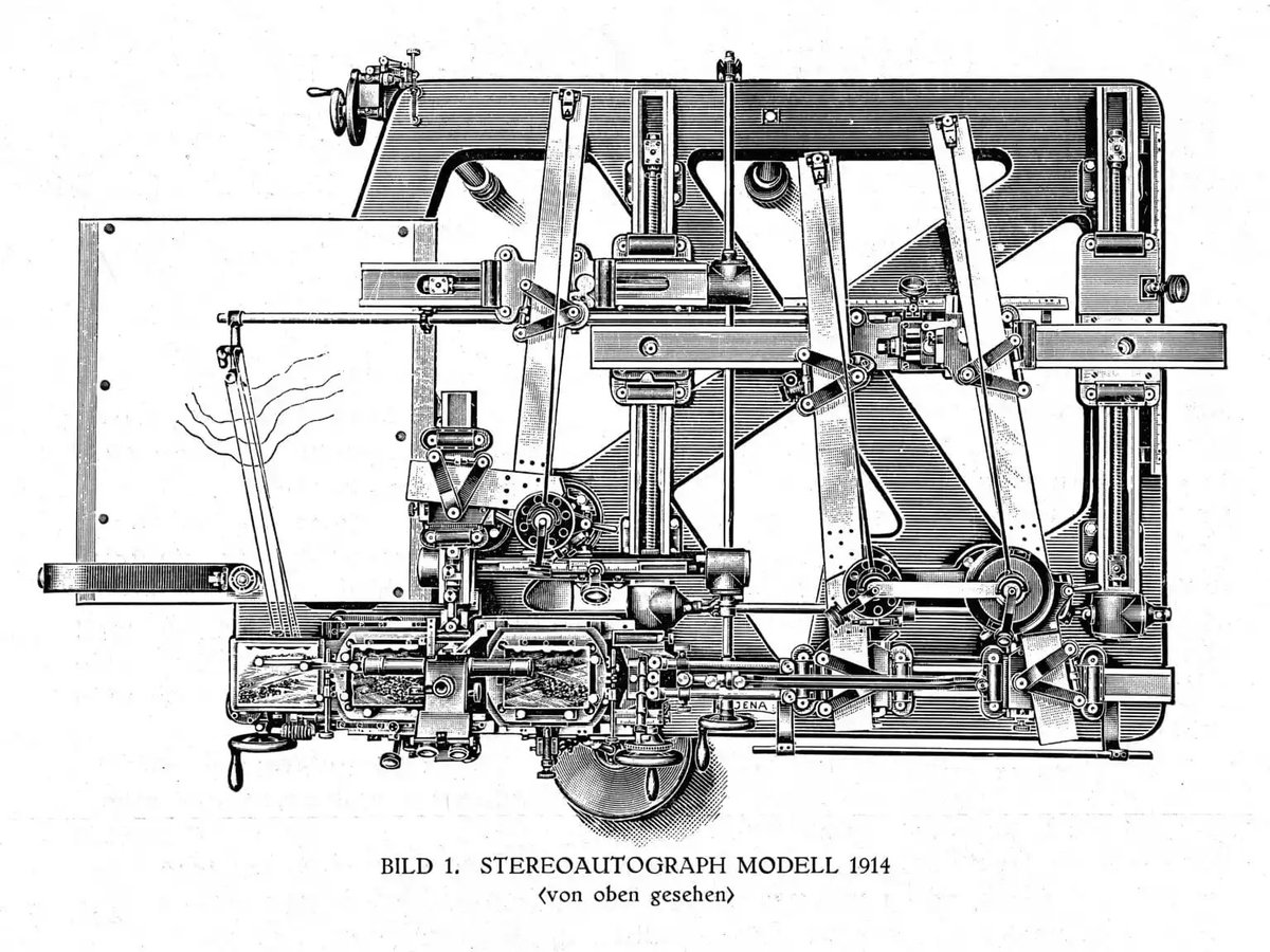
#DYK if you were mapping contours in the early 1900s you might have used this Stereoautograph Modell 1914 from Zeiss ... and it would have been the size of a small car! (Photo credit: Zeiss Archives)
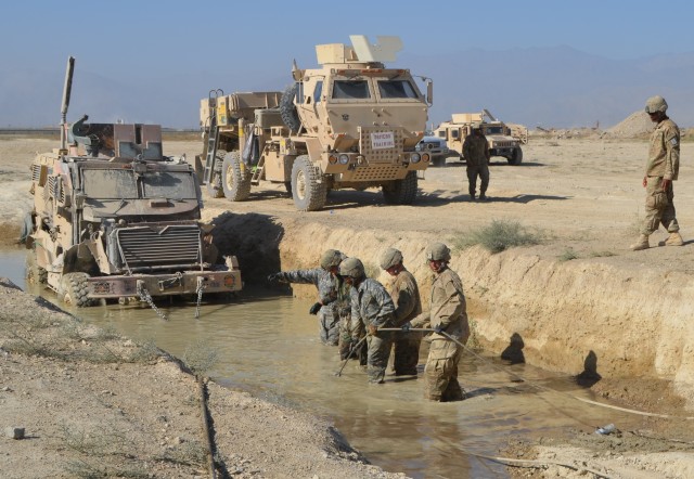
#CiviliansAndMaps. #USACE@HuntingtonCorps Survey Technicians create a 3D map of the bottom of Lake Tahoma near Marion, North Carolina, to help identify Hurricane Helene debris.
#DYK the Modified Combined Obstacle Overlay (MCOO) considers military elements affected by the terrain. It integrates details on signals, plus nuclear, biological, and chemical conditions, creating a comprehensive view for joint intelligence in the operational environment.
#TermsYouShouldKnow. Urban triad ... the urban environments consisting of 1) complex manmade physical terrain, 2) population of significant size and density, and 3) supporting infrastructure. (ATP 3-06/MCTP 12-10B)
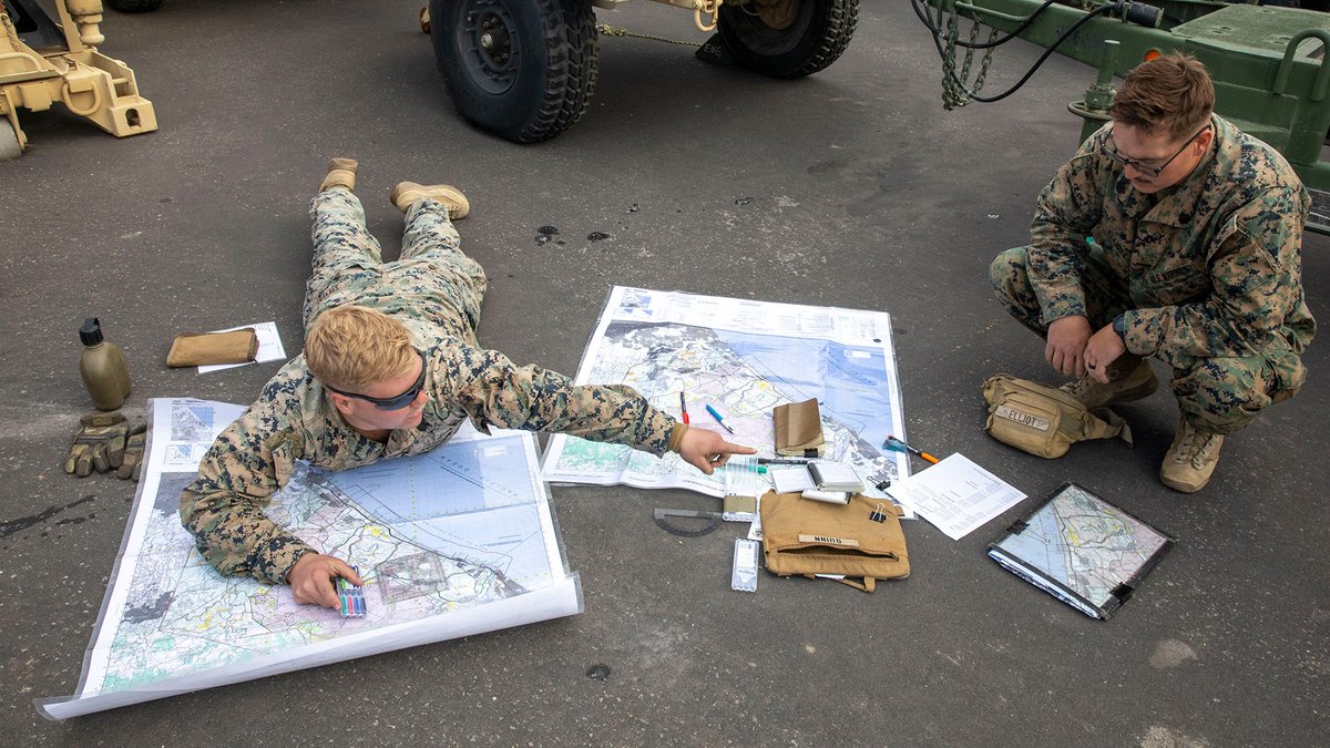
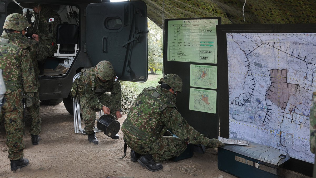
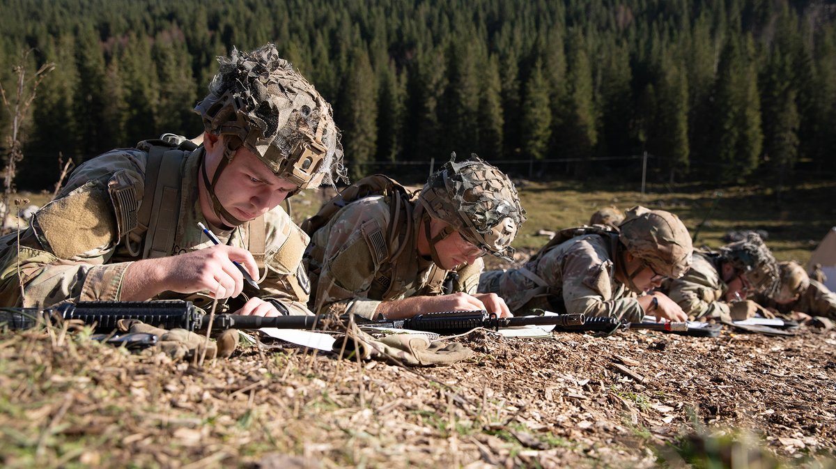
#SoldiersAndMaps. Common goal, individual effort! Soldiers plot coordinates on a map in preparation for their Expert Infantry, Soldier, and Field Medical Badge (E3B).
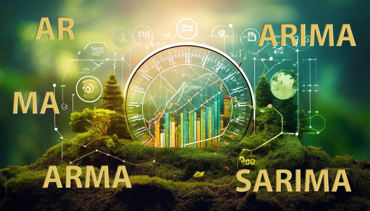
.@ArmyERDC#GRL researchers recently found that no single time forecasting model is optimal for forecasting temperatures in differing climate zones. It is likely that the climate zone may need to be chosen before selecting the best forecasting model. https://t.co/Bfip86F05b
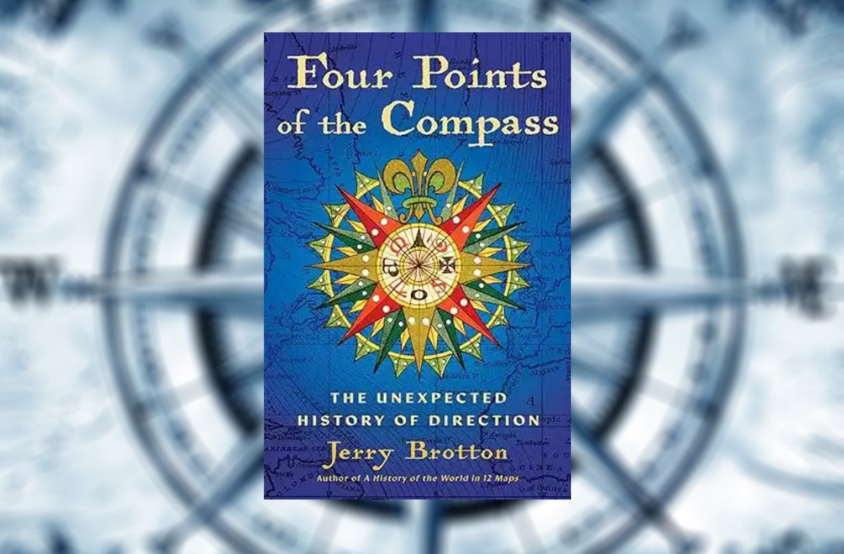
#GeospatialReading. "Four Points of the Compass: The Unexpected History of Direction" is a fascinating journey into directional discover, showing how societies have understood and defined direction in very different ways.
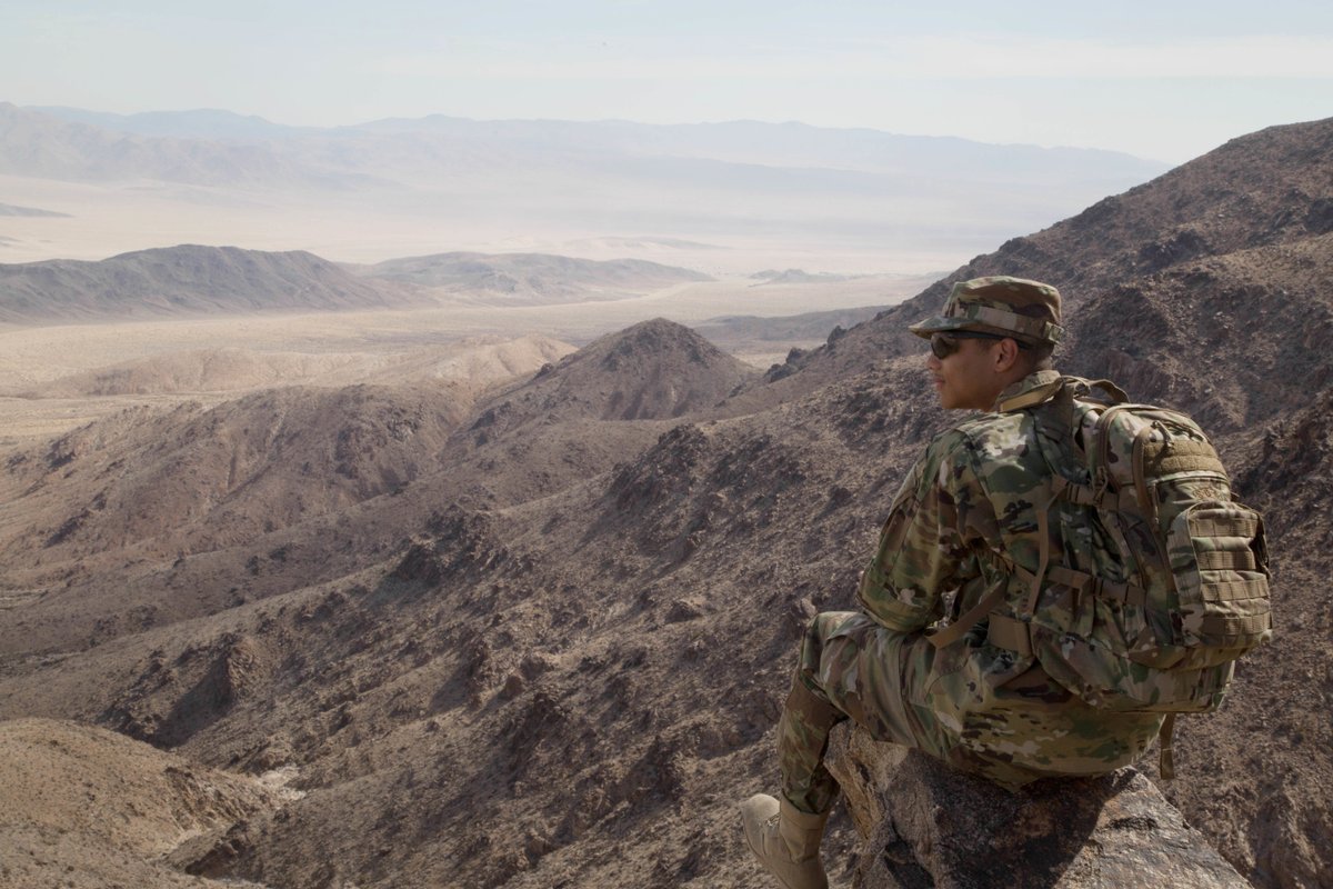
#DYK Terrain matters! When it’s ignored, valuable advantages may go unused and vulnerabilities can arise. Anticipating terrain exploitation minimizes risks and enhances preparedness.
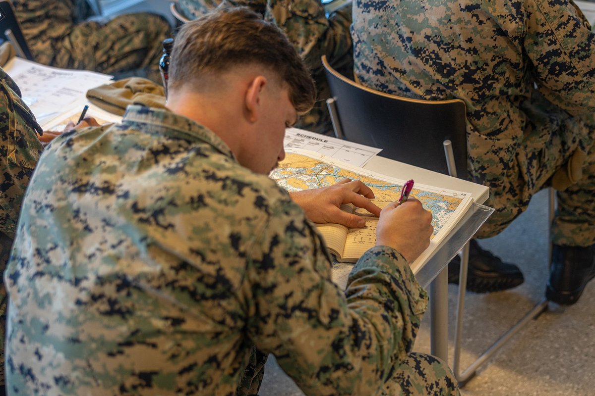
#MarinesAndMaps. A Marine uses a nautical chart to prepare for a Finnish-led maritime exercise to increase readiness and interoperability between NATO partners and allies.