Auckland Antarctic Science Meetup seeks to give interested members the opportunity to meet Antarctic scientists and discuss their work and its implications.
Aurora australis intensifies at South Pole; at top, Southern Cross & pointers, Alpha and Beta Centauri. View towards the dark sector: silhouette of South Pole Observatory at center, red light at left, IceCube Neutrino Observatory @NSF@SPTelescope@uw_icecube pic @iceman_90South
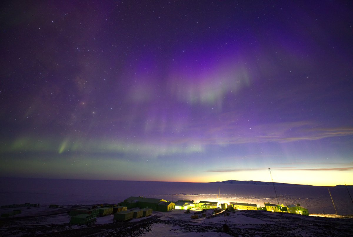
Aurora Australis (southern lights) over the hitching rail (where we plug in our vehicles to keep them warm) @AntarcticaNZ Scott Base. Can't get over the colours
Beginning its 61st winter, here’s McMurdo Station in the moonlight; in the distance, the lights of the new Phoenix Airfield on the ice shelf. Saturn and Mars appear close together in the center of the sky, days after their conjunction, pic Jeff Warneck @NSF_OPP @NSF
Looking east from Mount Belweder, King George Island, to Dufayel Island in Ezcurra Inlet, South Shetlands #Antarctica, pic Marek Figielski https://t.co/rCus1Yg6EF
Antarctic sea ice extent averaged 3.53million km2 for March, not far below 1981-2010 average of 4.03million km2 for that month. The minimum extent for the austral summer was reached on 20 Feb, after which sea ice grew rapidly, esp in Amundsen Sea https://t.co/AZ5FXaS7Tn @NSIDC
New study involving BAS researchers suggests warming oceans could put seabirds out of sync with prey #albatross#seabirds#climatechange
https://t.co/ywbDvRSvYh
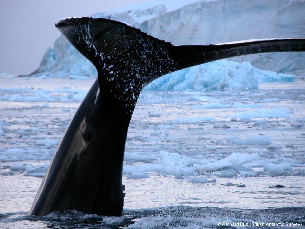
Orcas up close! If you're in Auckland NZ, tomorrow, 6pm Thurs 5 April, come to this event at AUT University, Dr Regina Eisert of University of Canterbury shows rare video of her very close encounters with Killer Whales on the sea ice #Antarctica https://t.co/I13BIgHaiK
Watch how measurements of ice thickness change from @esa_cryosat, can been used to measure the rate of grounding line retreat in #Antarctica. Great job Dr Hannes Konrad! @SEELeeds @ICASLeeds @NERCscience
Satellite data @esa_cryosat shows ice sheet is losing ground, esp in West #Antarctica, eroded by warm ocean water circulating beneath its floating edge. Most accurate map yet of ice sheet’s submarine edge (grounding line) around 16,000km of Antarctic coast https://t.co/6FG0Tp1ZeE
RRS Sir David Attenborough designed to have extremely low underwater radiated noise to avoid interference with survey equipment or disturbance to marine wildlife #PolarShip # PolarScience https://t.co/50jg0dq0bR
Aurora australis display in front of Scorpius with three planets, left to right, Jupiter, Mars and Saturn; view of the southern sky from Scott Base, Ross Island, #Antarctica; Mount Erebus visible at left, southernmost active volcano on Earth, pic @JonnyHarrisonNZ@AntarcticaNZ
The @Keeling_curve is 60 years old! daily record of CO2 in air. 1st measurement in 1958? 316.19parts per million. In 2013, CO2 measured at Mauna Loa surpassed 400ppm for 1st time in human history. South Pole became last place on Earth to surpass 400ppm in 2016 @Scripps_Ocean@NSF
"The race to understand Antarctica" by @FT journalists @pilitaclark and Charlie Bibby following their visit to Rothera Research Station earlier this year
https://t.co/a59ruK5XXW
If you read just one thing this week, be sure to make it this excellent @FT feature by @pilitaclark about her recent visit to Antarctica with @BAS_News
https://t.co/adWUxiI2Ax
Antarctic Winter School 2018
Sea Ice: The thick and the thin of it. Join a group of likeminded
people in the Catlins for the weekend and listen to leading sea ice researchers explain the role of sea ice in the global climate system. https://t.co/wSL8xrNAEP
Photo by Fiona Elliot