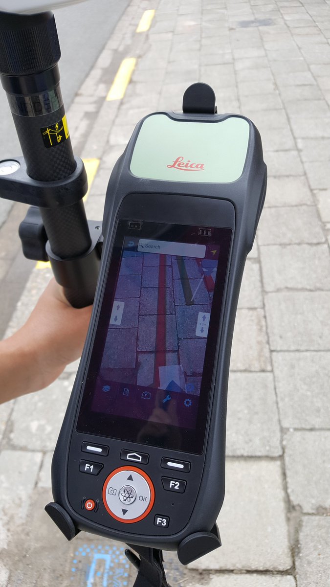
@mrdabling @jerware@nchan @sciencequiche iOS & Android. Full surface tracking on iOS using ARKit so if you dont have a survey quality GNSS unit attached, but do know where you are starting from (a survey mark or surveyed lid) then surface tracking can get you good relative location and orientation.
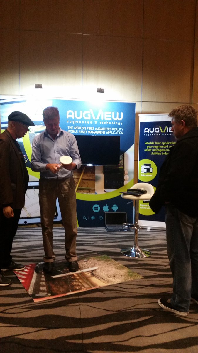
Augview techweek workshop 23 - 25 May https://t.co/H5TQbvGdiT Augmented Reality GIS for Field Workers in Utilities, Construction and Large Site Asset Management
Augview is going beyond GIS. It loads the as-constructed data from a utility or municipal GIS database to a tablet or smartphone and displays it using Augmented Reality. https://t.co/Awt8S4Nb3v
https://t.co/GQORgi27Ta @UtilityProducts@IntelUtil@UtilityWeek@UtilityMag