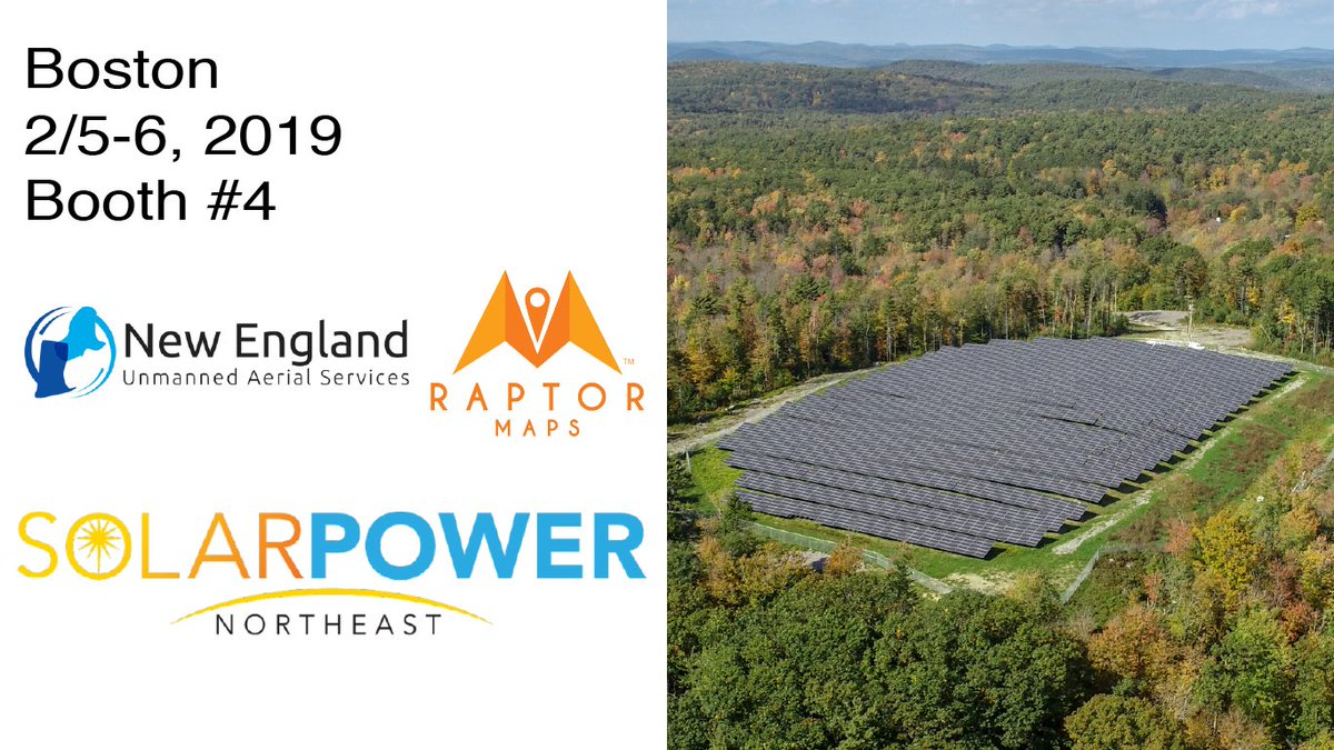
Heading to #SolarNE today in Boston? Stop by booth #4 to say hi, meet our partners at New England UAS, and learn about how we're helping companies reduce costs and increase efficiencies with drones and software! #solar#drones#pvinspections#AI https://t.co/YINCRAxRk0
I love the ocean. I didn't grow up on the ocean as a kid but remember visiting the coast and exploring tidal pools full of life. The ocean is dying. Now is not the time to spend billions on space exploration. Lets save the oceans instead! https://t.co/hWFrmmaYeJ
Just launched our first ad. Entitled "Showing Up," it's filmed using an iPhone and was created entirely with live stream footage from our travels to all 254 counties of Texas. Watch and RT to share.
We know you all are excited about the new Zenmuse XT 2. Don't miss this intro & training via Randall Warnas, 'Introducing the DJI Zenmuse XT2 Featuring Thermal by FLIR'. Learn about its different configurations, features, compatible airframes, etc. https://t.co/r728QVWdX1
In partnership with #RMUS@rockymtndrones, Raptor Maps recently participated in a webinar to cover the specifics of using drones for the inspection of PV systems (solar farms) with both infrared and high-resolution cameras. Watch the webinar here https://t.co/7jaTParPaW !
Don't miss today's webinar with Rocky Mountain Unmanned Systems @ 2pm EST. We'll be discussing Raptor Map’s newest features & developments, including Raptor Solar™, that uses machine learning to create PV system analytics and reports. Register here, https://t.co/rtV0Knse7m !