Preventing human-machines conflicts since 2014. Ethereum Foundation Alumni (2014-2018), co-founder of ENS (2017), co-founder of Higher Order Company (2023).
* helped launch ethereum
* launched the first Ethereum Wallet and Web3 Browser.
* coded one of the first ERC20 tokens, DAO, token sale and NFT (ENS!) contracts, and they were used as templates in the Ethereum home.
* spent 2 years promoting ENS as a primary means of login
I've never been much of a gamer but I have played every version of Civilization ever released. I always would play it on earth at the largest setting and sometimes just wanted to wander around the world exploring the wonderful tiles it had. And for some years now I've had a little side obsession project of doing hexagonal maps.
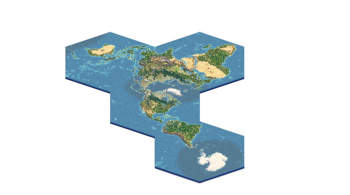
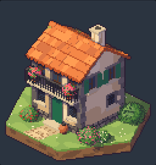
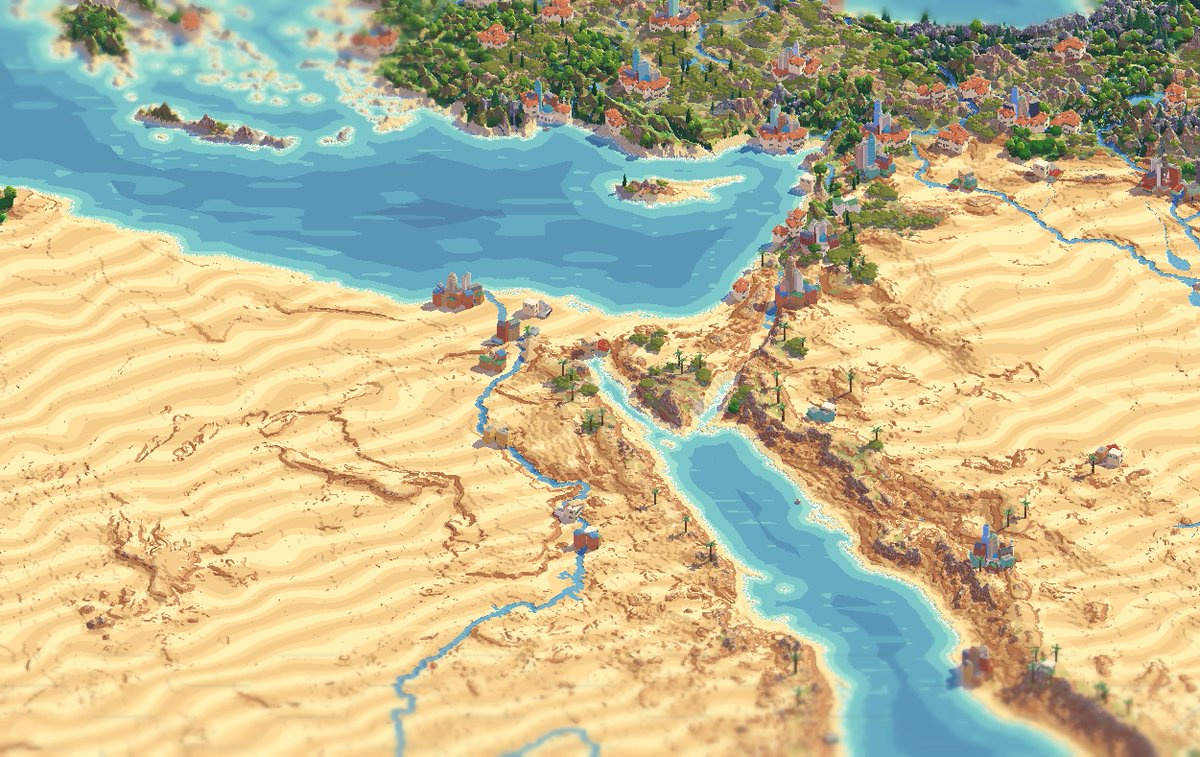
So recently, inspired by projects like https://t.co/OyTj1PNGWk I decided to do my own take, on a world diorama based on hexagons. The process of making these was quite unique: most tiny cities projects starts with a 3d isometric satellite data of the world and send them to an image generator. This is not the case
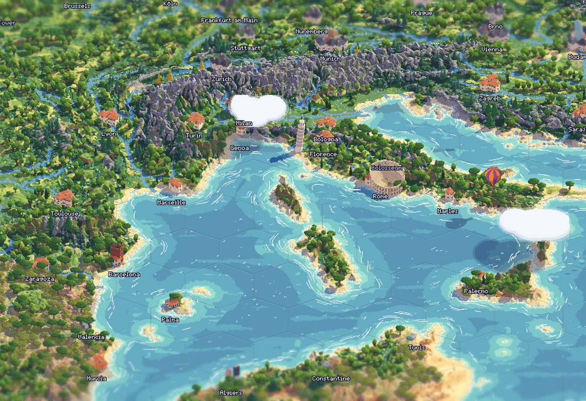
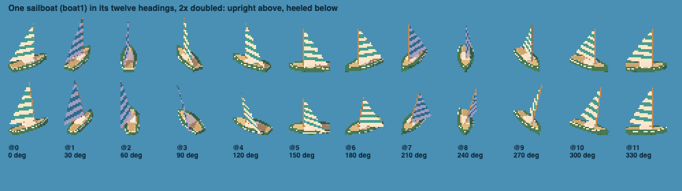
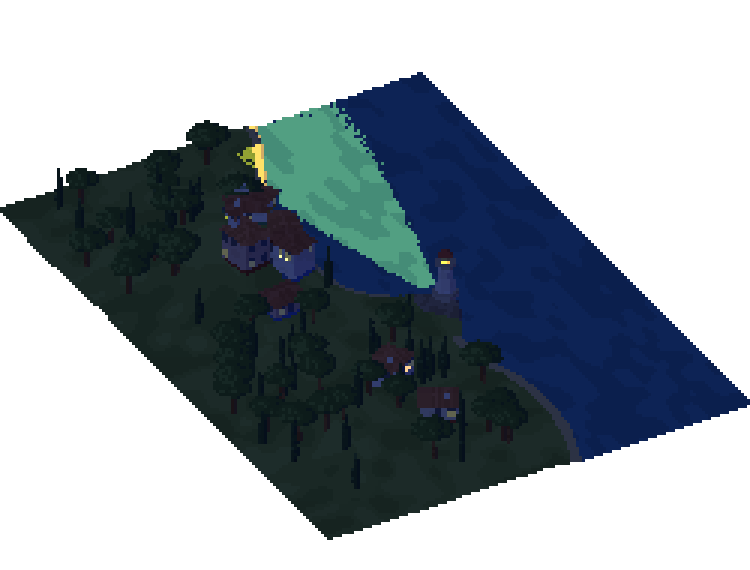
Instead I downloaded world data on elevation, ocean depth, humidity, winds, sea roughness, full river data, and created my own method of classifying climates. I used all of that to create a basic color scheme and 3d model. And then instead of passing that through a 2d image generator I used fable 5.2 to generate individual 3d pixel splats of hundreds of objects and place them on its own on the 3d scene, which is then rendered in 3d and flattened out in an image. It's a mixture of real data, human and IA choices. I've gone through at least 10 major revisions of the whole process and have spent hours painstakingly going back and forth in this world.
I think the result is quite stunning, and I'm happy to share this with everyone. It feels like a tiny living world you could live in.
@nicksdjohnson It's an interesting idea but if I am talking about a resolution enough for the Isle of Wight to have houses then it would be too much for a frontier image model. Maybe I can find something that runs locally on my Mac over a weekend then I would consider it!
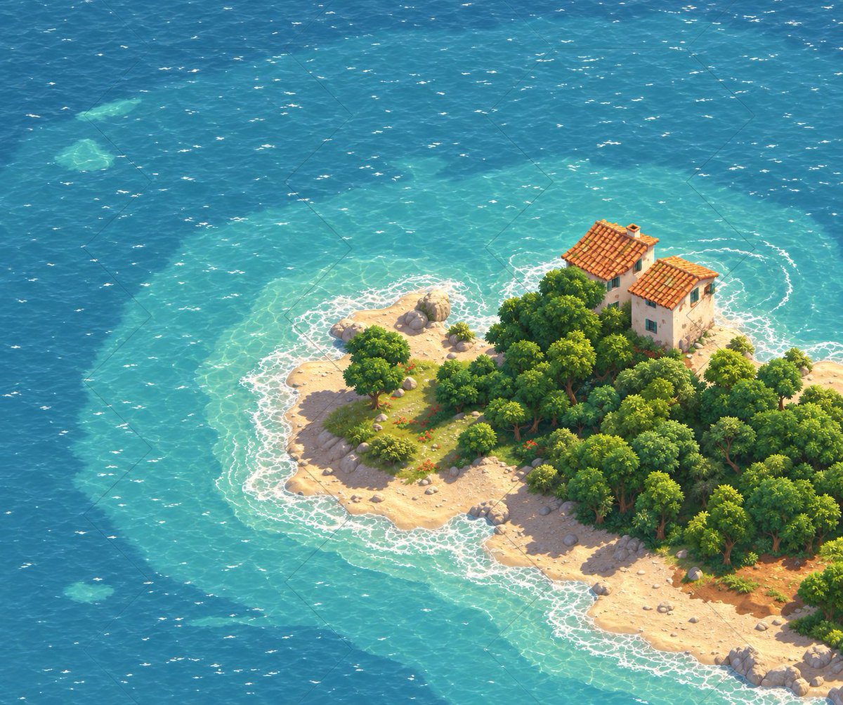
@nicksdjohnson Something I'm tempted at doing is using the Claude Pixel splat, but then asking ChatGPT to upscale it based on the pixels. It looks gorgeous and better than Claude could do by adding more detail.
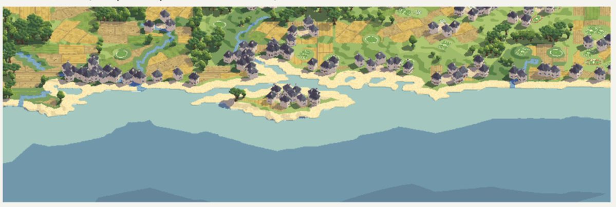
Some of that is a limit on resolution another is a design choice. Right now the smallest hex has 2 to 3 square kilometers, which is a small town, so it's not really accurate to the building level. I also wanted to prioritize climate regions rather than having too many human artifacts.
Isle of Wight however is a bug that the beaches are way too wide. I think I might ask it to render everything yet one hex down - but that would mean going from 28 thousand individual tiles to over 100k!..
@notnotstorm This is high praise. Dymaxion has always been my favorite map, except for the jagged and crazy ocean coastlines. I really started this project because I wanted a more symmetrical Dymaxion!
Have you seen this arrangement?
@nicksdjohnson Yes! It's surprisingly good at it. I've tried generating them with ChatGPT and it creates very cute images but it will struggle with consistency and the correct dimensionality. I even tried feeding it ChatGPT images but claude is actually better working on its own.
@xthomasms Obrigado! Obrigado pela inspiração: hoje mesmo no grupo do condomínio alguém usou um screenshot to TinyRJ para discutir uma questão em uma área comum, porque mostra o espaço melhor que o google maps!
Great old joke about it in Portuguese:
“Senhores passageiros, bem vindo ao nossa nova aeronave. Devemos porém fazer alguns avisos pois o avião, sendo um novo modelo americano, ainda não teve suas sinalizações traduzidas:
- se virem uma placa dizendo ‘push’ não puxem, devem empurrar.
- se virem uma placa dizendo “pull” por favor não pulem! Devem só puxar.
- mas se surgir um aviso dizendo “exit” então passageiros, não hesitem! Devem pular imediatamente!”