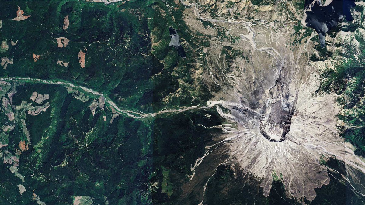
#EOchat: Following the recent release of #NISAR 🛰️ data for *everywhere*, here's a sample viz of ascending orbit data from 28.06.2026 over #Belize. Forests are mainly displayed in shades of green, while non-forest areas are shown in darker tones. #EarthEngine#GoldenAgeOfSAR
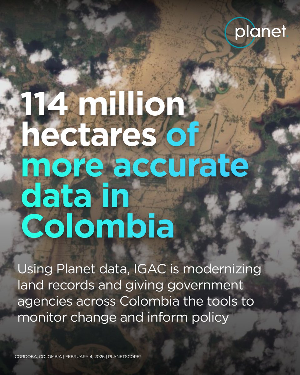
When access to satellite data is fragmented across government agencies, monitoring changes on the ground becomes a challenge.
@igacColombia is working with Planet and @procalculo to change that. By centralizing access to near-daily satellite imagery and geospatial analytics, IGAC is equipping more than 3,000 users across 95 government agencies with the tools to monitor land use, track development, and detect environmental threats.
Read more on our blog: https://t.co/f6XEJ8cjgV
Nobel Laureate Frances H. Arnold has been named the 2026 recipient of the Carrier Medal, honoring her pioneering contributions to science and engineering.
Arnold received the 2018 Nobel Prize in Chemistry for her groundbreaking work in directed evolution: https://t.co/MK0p35LjfK
“Being part of the global GEO network assures the sharing of knowledge and provides opportunities for collaboration and co-creation of tools, training and education materials, and innovative technologies.” - Freek Van Der Meer, GEO Principal, ITC.
Did you know? 🔎
ITC is a GEO Participating Organization applying earth observation data and geoinformation science in four profiling themes closely aligned with GEO’s priorities: GEO AI, resource security, urban futures and disaster resilience.
🎥 Watch the full statement at the GEO-21 Plenary:
https://t.co/tTbPNGrYq8
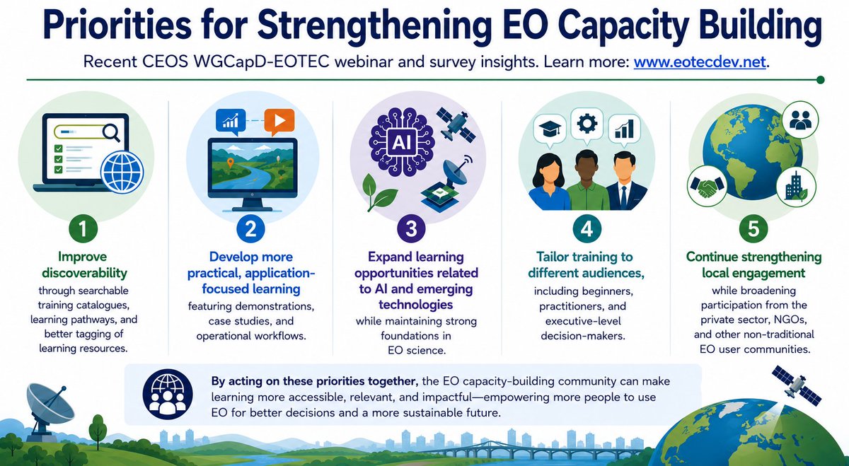
⁉️What does the Earth observation community need most from capacity building today?
More than 200 people shared their views on this question in a recent EOTEC-@CEOSdotORG WGCapD survey. Results captured in the image below.
Detail on the responses: https://t.co/b3cPnMJg6S
The singularity is often regarded as the point at which artificial intelligence surpasses human intelligence and begins advancing at a pace that's difficult for people to predict or control. https://t.co/mrILyJYqfo
What's the difference between drone and satellite Imagery? 🔎
Become an expert in identifying imagery types and capture methods. Read the article:
https://t.co/gPBe48Z4It
Generate your script, inspect the diff, merge with confidence.
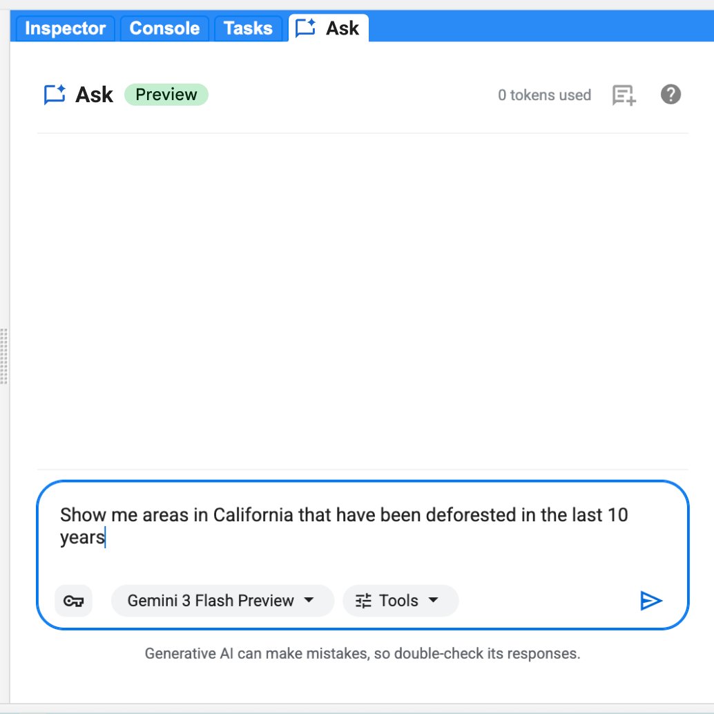
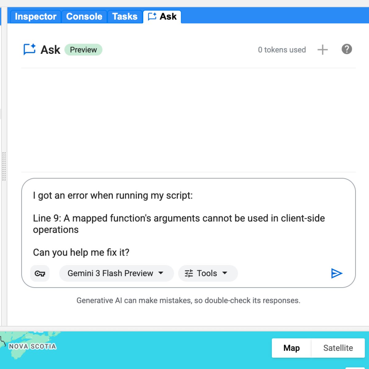
We just launched Ask in the Google Earth Engine Code Editor. It brings Gemini capabilities directly into the Code Editor to help you write, debug, and understand geospatial queries without leaving your workspace. https://t.co/9DxutFBBXc
Here is what you can do today:
🗺️ Ask in plain English: get clean JavaScript for cloud masks, NDVI composites, charts, and more.
🛠️ Troubleshoot with one click: let Ask automatically diagnose console errors and generate syntax fixes for you.
🔍 Keep full technical control: review side-by-side code diffs before merging anything into your active script.
Ask is context-aware. It reads your active code, imported information, and session history, acting as a collaborative colleague that knows your project structure.
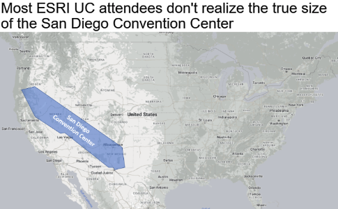
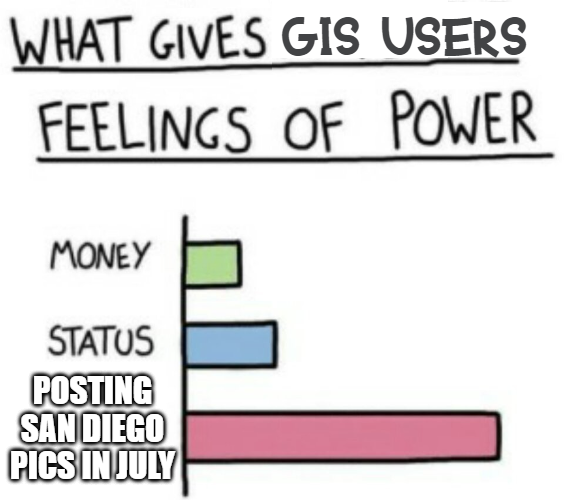
#GISchat: The following was said yesterday during the #EsriUC2026 Plenary: "ArcGIS is the most widely used GIS program in the world."
#QGIS: "Say what now?"
👋👋 Evaluating #Global and National Datasets in an Ensemble Approach to Estimating #Carbon#Emissions as Part of SERVIR’s #CArbon Pilot
✍️ Christine Evans et al.
🔗 https://t.co/t9VZwkmAHH