🌍 Explore global migration trends with an interactive MapMaker activity! Students compare countries, analyze data, and discover migration patterns across the European Union.
https://t.co/9PYaGTsawO
#GISeducation#Geography
king the transition from college to a GIS career takes more than technical skills. Building your network, showcasing your abilities, and getting involved in the GIS community can help you stand out.
Here are 5 strategies to consider: https://t.co/WkjSkSCgpb
Your map. Your story. Your chance to inspire. 🌎✨ The 2026 ArcGIS StoryMaps Competition is calling on bold storytellers to share how geography can help create a better future. Submit by Dec. 11! https://t.co/KM8KYADmz9
AI is changing how we work with GIS 🌐 Check out "The Next Era of AI and ArcGIS" on how users employ AI to improve collaboration and amplify the impact of GIS 👉 https://t.co/zAauYSj4Pe
A modern GIS curriculum connects foundational geographic thinking with current technical workflows in data management, mapping, spatial analysis, imagery, GeoAI, and more.
Build a modern curriculum to incorporate AI in education with these resources: https://t.co/F2SPSE6bKq
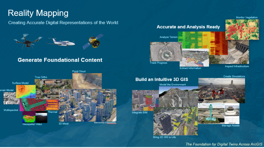
From drones to digital twins, reality mapping is shaping tomorrow’s workforce. Discover how educators are empowering students with hands-on experience using ArcGIS Reality. 🖱️ https://t.co/vhp8ouhamf
Call for paper is open for Esri Education Summit taking place July 10–11, 2027 in San Diego, CA ☀️🌴 https://t.co/1TMi0kBkAU
This is your opportunity to share how you’re using GIS to solve challenges, engage students, and make a difference in your community.
How can interactive maps help students understand the “why” behind “where”? 🌎
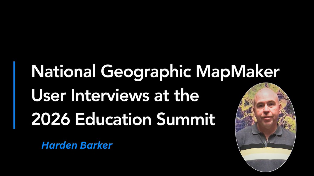
See how middle school educator Harden Barker uses Nat Geo MapMaker to build spatial awareness and help students see how geography shapes history.
➡️ https://t.co/Ec9gfF80mv
#GISEducation#MapMaker
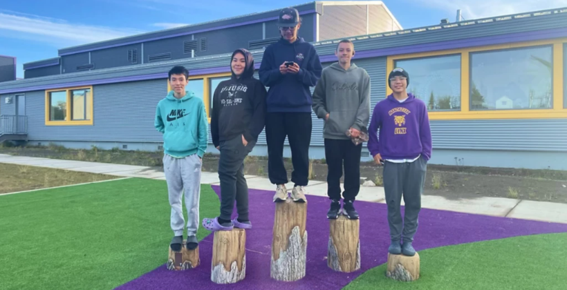
In rural Alaska, students are using GIS to map their communities, explore environmental challenges, and build skills for future careers.
See how geospatial education is creating new opportunities for youth in the Bristol Bay region. 🌎
Read the story: https://t.co/cUp2PYFeRl
The UCSB Guide to the Geographic Approach module spotlight 🔦
Identify areas of Malaria risk by using clinical and climatic data in this module: https://t.co/TjIFf8GNkX
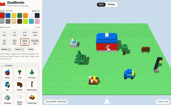
What if students could bring their block creations to life on a 3D globe? 🌎
In a new blog, Esri’s Tom Baker introduces GeoBlocks, a free tool that combines creativity, geography, and STEM through hands-on learning.
Read more: https://t.co/DjHB8b7bH4
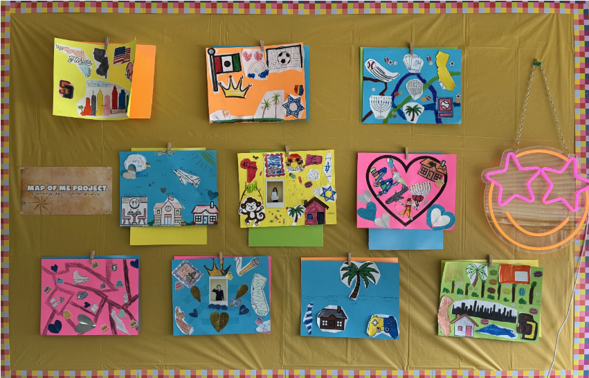
What if the school year began with maps? 🗺️
In a new blog, 4th grade teacher Natalie Teboul shares how she uses geography to help students explore their identities, build classroom community, and connect with the world around them.
Read her story: https://t.co/7Tjg3jFzsi
How can interactive maps help students understand the “why” behind where?
Middle school educator Harden Barker shares how he uses National Geographic MapMaker to build spatial awareness and connect geography to history.
Read his story: https://t.co/ScVKhhKznc
GIS Students 📢 Applications are open for:
🔸 Esri Summer Internship
🔸 Esri Student Assistantship
Read this blog to learn about Esri student program and where to apply: https://t.co/1VWun6E4qM
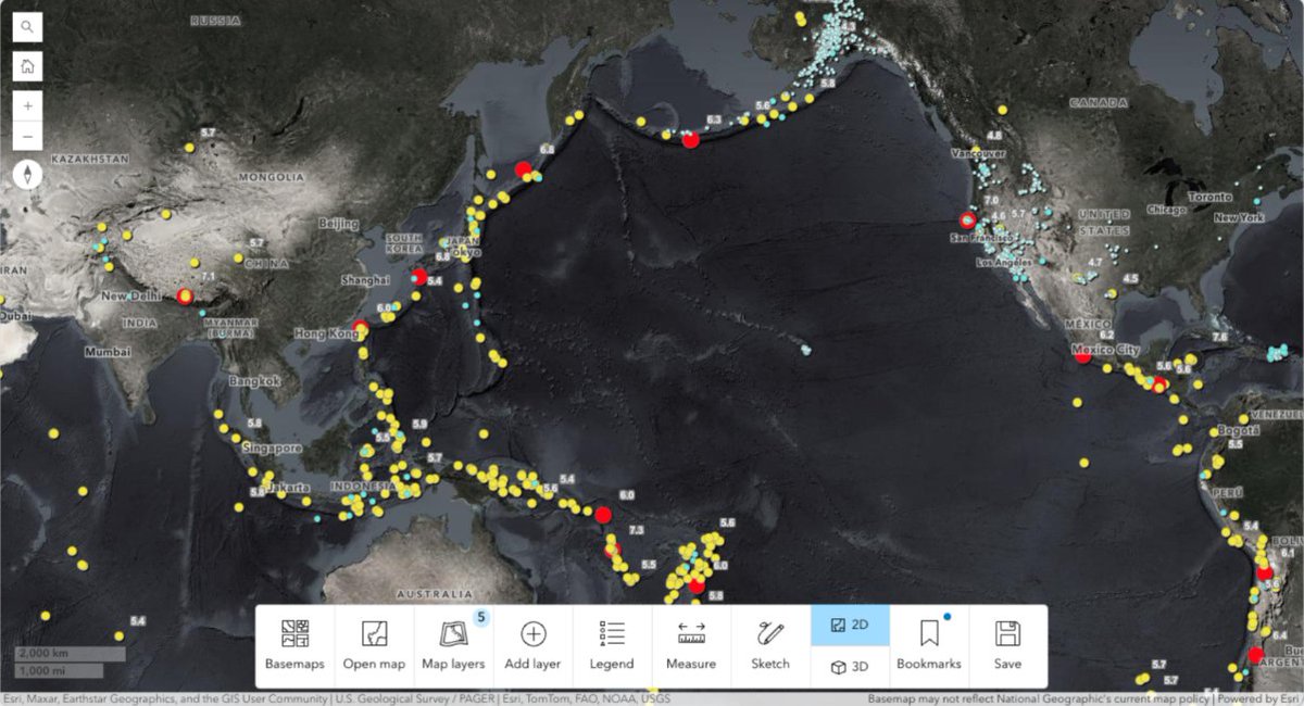
What causes earthquakes, and how do they impact communities? 🌎
Help students explore earthquake patterns, plate tectonics, and human impacts with a ready-to-use National Geographic MapMaker activity.
Explore the lesson: https://t.co/txY7BBeW7V
Explore GeoAI in ArcGIS 🤖🌎 This Esri Higher Education E-learning Guide for Geospatial AI provides resources covering AI, machine learning, deep learning, spatial analysis, imagery, lidar, and more: https://t.co/vTEBkeoPiZ
Smarter capacity planning starts indoors. 🏫
See how Horry County Schools uses ArcGIS Indoors to turn disconnected facility data into actionable insights, helping staff make faster space allocation decisions across 58 schools.
🗺️ Read the story:
🔗 https://t.co/Zi6wiIhUoB
How has GIS education evolved over 25 years? Dr. Sowmya Selvarajan reflects on the shift from desktop mapping to GeoAI and how geospatial technology continues to shape teaching, research, and student opportunities.
Read her story: https://t.co/1De8owV7n8
See how a passion for maps, nature, and technology led to an award-winning 3D GIS application that helps researchers explore bird migration in new ways. 🌎 A great example of GIS driving scientific discovery. 🐦 https://t.co/n11HRCBn2B
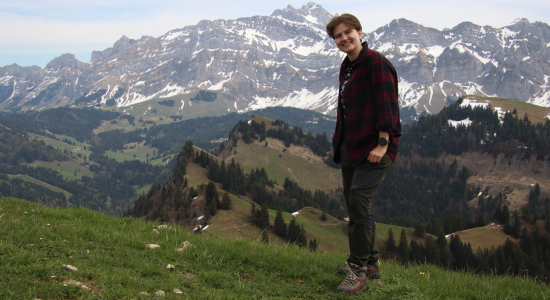
What can 3D GIS reveal about bird migration? 🌎 See how an ETH Zurich graduate used ArcGIS to build an interactive web app that helps researchers visualize animal movement, behavior, and migration in new ways. 🐦 https://t.co/n11HRCBn2B