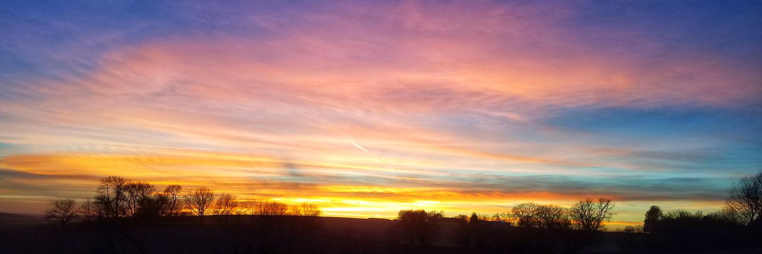
@_Taylor_Nic It's just not even vaguely related to the weather... certainly not a discussion about a forecast.
Would be a mildly interesting personal social media post I guess?
@RaychelNelsonwx A someone who followed a strangely similar path to you, I'll just say that the only thing to be afraid of is not sharing your work. I'm personally looking forward to reading it and learning new things. Please share!
@KDeitsch_wx @KirkwoodFire@gabb_b Oh no! I had that happen last year and just beware that you may find other random nonfunctional things for the next few months. Glad everyone is ok!
@fin_dave@dirkchatelain I think it's cause that speaks more to our broken hopes for Husker football than anything. With that said... waddaya think? Over or under?
@dirkchatelain Another version of this forecast: "There will be thunderstorms across the region today (95% chance). They will be spotty with only a 50% chance of accumulating rain at your location. If one moves overhead, expect heavy rain showers and lightning with a small chance (5%) of hail."
@dirkchatelain I see now... the problem is your source! Hopefully you saw the forecast stats I shared as a comment on your nws post. Wish we had another basketball practice to talk weather while the kids run up and down the court. Might have to rally them up for a driveway game sometime soon
@dirkchatelain Truth be told, it's the interpretation of the probabilities and perception of what actually falls (rain wise) that's often the misunderstanding. One thing for sure... when the meteorologist says 50%, it's far from saying no freaking idea. But the app you shared is just a computer
I absolutely LOVE warning ops. This is why. Every warning is both an assessment and a prediction, all in the midst of a data deprivation exercise. Being able to "see" the storm even when you can't physically see it is huge in that process. Chasing and vids like this are valuable.
This is beautiful. SVC. RFD. Hail. Meso. Surges. Inflow.
Now as you're staring, envision the radar representation and evolution. Envision the NSE. What's the hodograph look like? Consider how these things are all walking together to build this storm. See it to understand it.
Now sit at the warning desk. You can see everything EXCEPT the storm. Reverse engineer it. Based on radar evolution, NSE, etc, envision the storm, how it is evolving, and how it will change. Now how would you warn/tell the people? THAT is warning ops. See it to understand it.
Oh man, what a long challenging DAY. Great work by the @NWSOmaha team today! Really proud of you all.
So thankful for the reports that came in detailing damaged homes but with all parties safe and accounted for. Praying for all those injured and impacted by today's tornadoes.
Quite a wild two day stretch that started 25 years ago today. It was a Sat night into Sun AM when 8-12" of wet heavy snow blanketed the metro. The wet snow stuck to leaves and brought down trees and power lines resulting in the 3rd largest power outage in OPPD history.
The fires yesterday brought a very chaotic and fluid situation to the area. Information was released as it was available. LLCEMA realizes that most from this area are not used to evacuating from wildfires, especially urgently. Take a look at this evacuation chart for basic tips.
@mattwolters Dust was coming in around that time too yeah, but a lot of smoke. Was probably a greater percentage of smoke about 30 minutes earlier but I was driving so my pic had to wait
This view of a smoke covered sun is about enough to make you sick, especially when you know that 50 miles upwind of that smoke cloud is a cluster of #wildfires wreaking havoc with dried fuels and 50 mph winds. Stay safe and #thankafirefighter!