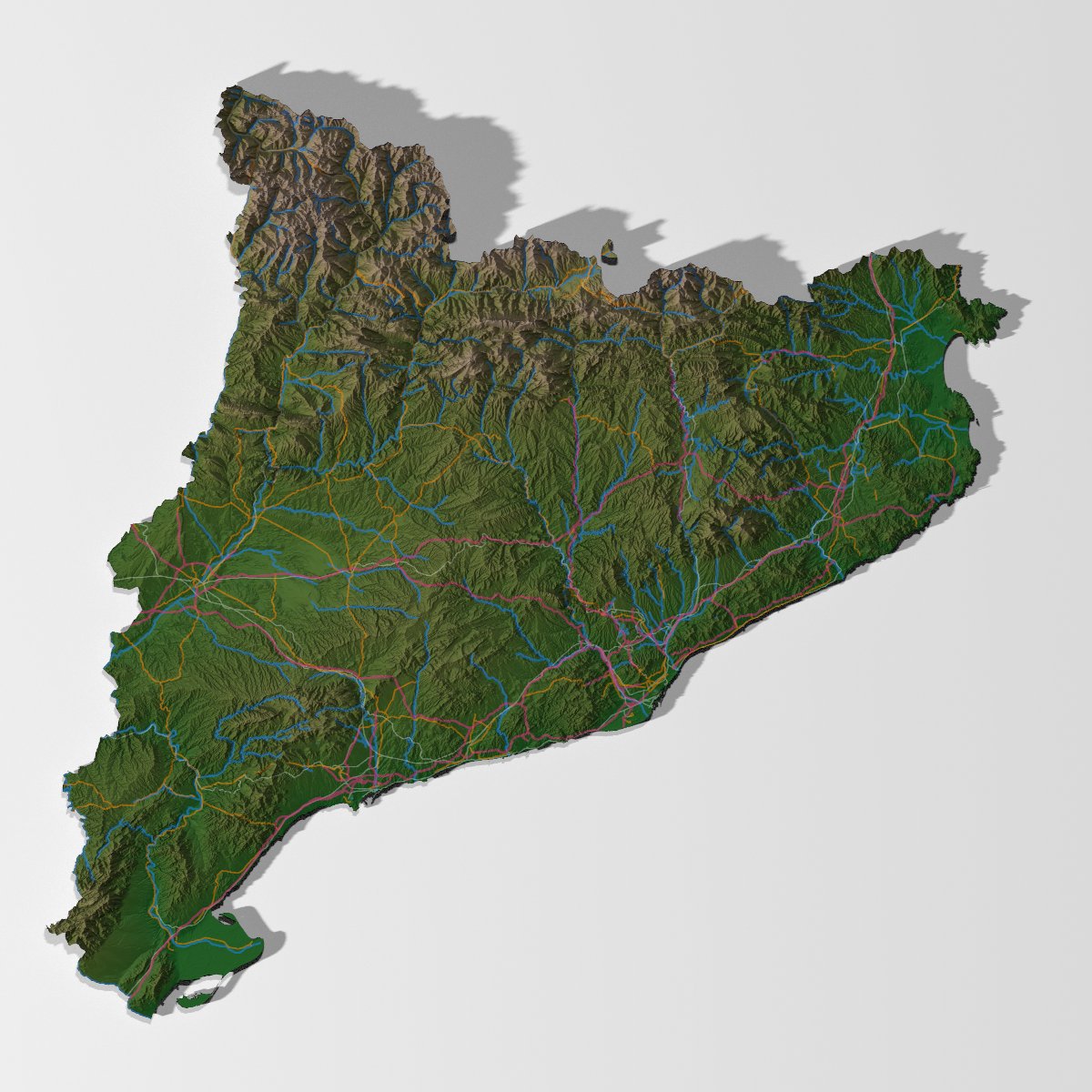
@humeursdevictor @tylermorganwall@openstreetmap@tylermorganwall's blog is a great resource for learning about rayshading, so I highly recommend checking it out if you haven't already!
This gist should replicate what I posted:
https://t.co/jPAYmsV5at
Sure how else would you spend a rainy Bank Holiday Monday other than rendering fortified Dutch villages in #rstats?
Fort Bourtange, Netherlands.
LiDAR: Actueel Hoogtebestand Nederland.
Overlays: @openstreetmap via the #osmdata pkg.
Rayshading witchcraft: #rayshader.
Weekend project - a 3D render of the main site @newgrangeknowth. At 5,200 years old, it predates Stonehenge and the Egyptian pyramids!
Elevation data from @GovDataIE @opwireland, overlays from @openstreetmap@osm_ie, and magic from #rayshader and #rstats