"Stuff" your kindle just got a spooky makeover ! We really hope you will join in and make this a huge event.
Please reach out to @HorrorsmithPubl today if you would be interested in getting involved.
Readers, please share share share!
#spookyourkindle#horrorbooks#horrorauthors
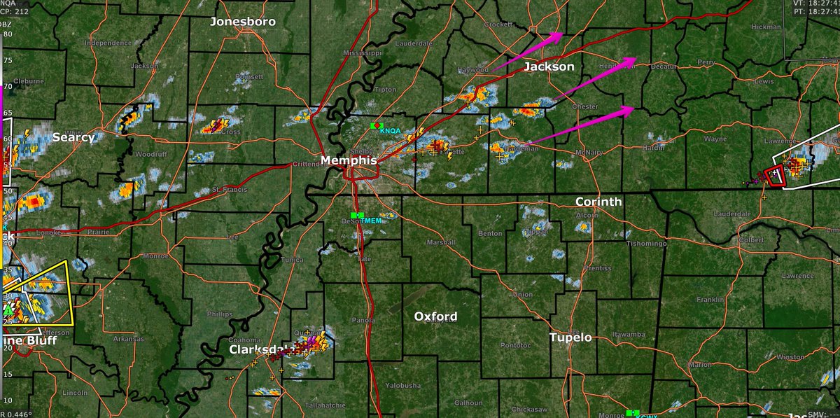
Storms developing around Memphis will be our severe threat later today. These bear watching. Our atmosphere will have done some degree of recovery by the time these get here. Stay connected. Remember, NOAA WX RADIO IS NOT WORKING TODAY.
Severe Wx potential tmrw and Tues.
Monday: damaging straight line winds, hail. ETA lunchtime-ish, but may run into the afternoon.
Tuesday: winds, hail, tornado. ETA afternoon-evening. May be a bit concerning. More to follow.
Brief showers and storms possible this afternoon. Instability will be tough to find if we see a lot of cloud cover through the day. Wind and hail are the primary threat. NWS thinks the tornado threat is very low. Below is the HRRR at 7pm.
Light rains but **huge** winds are "dry microbursting" with 16K in Davidson Co without power. Storm is along and crawling east of 65 which is where most of the winds are. Numerous trees down / 542 PM / We are live here https://t.co/rgeAdakpce
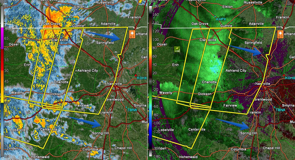
New Severe Thunderstorm Warning for Western Davidson Co. and NW WillCo. for wind gusts up to 60 mph and hail up to 0.75". No tornado concerns rn. We are live here https://t.co/rgeAdakpce
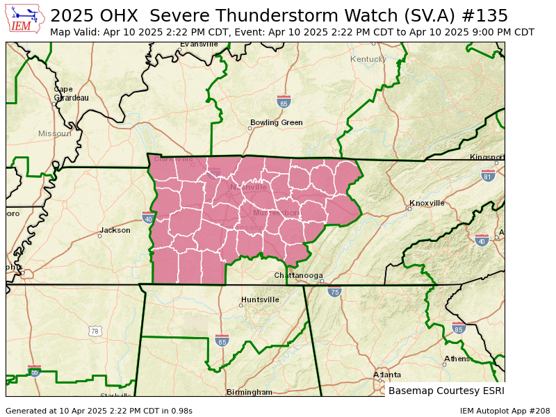
Storm Prediction Center is about to issue a Severe Thunderstorm Watch effective this afternoon through the early evening hours. This will not be an overnight event. Hail and damaging straight line winds, along with briefly heavy rain and lightning, the main hazards. ETA 5–7 p.m.
#NESOutageAlerts
NES crews worked through the night to continue restoring power to customers following the storms in Middle Tennessee Saturday. Crews have braved winds and rain to restore power to more than 41,000 customers, however there are still about 13,000 customers without power. The majority ofoutages are in the Downtown, Old Hickory, Madison and Hendersonville areas.
The storm broke more than 20 power poles that will need to be replaced or repaired. Rain and flooding in some areas may slow restoration efforts, however, more than 200 NES and contract personnel are working quickly and safely to assess the damage and restore power.
Ok, it looks like the new watch was dropped in response to the tornadic BS coming up from N MS. I do expect that stuff to push NE but its going to undergo modification.
Tornado Watch now canceled for Davidson Co. Still going on for Williamson but I'll be shocked if we get a warning tonight. The concern remains FLASH FLOODING / 719 PM
I can finally reveal my publication schedule until the end of 2027!! ❤️ I’m so honored to be working with Saga Press and Titan Books. These novels are nasty, surreal, and very weird. I hope you love them. I’m excited for the next few years!
All-clear for tornado and severe thunderstorm concerns in both Williamson and Davidson County. Lightning, flooding, non-severe wind gusts still possible. Good job everyone. We are community funded (not a penny from ads), and there are some things we want to work on, like the website issue. Your donations go a long way to help with these projects. Many thanks! Patreon: https://t.co/6rTmx69L2j or Paypal: https://t.co/JprMTiSYLd