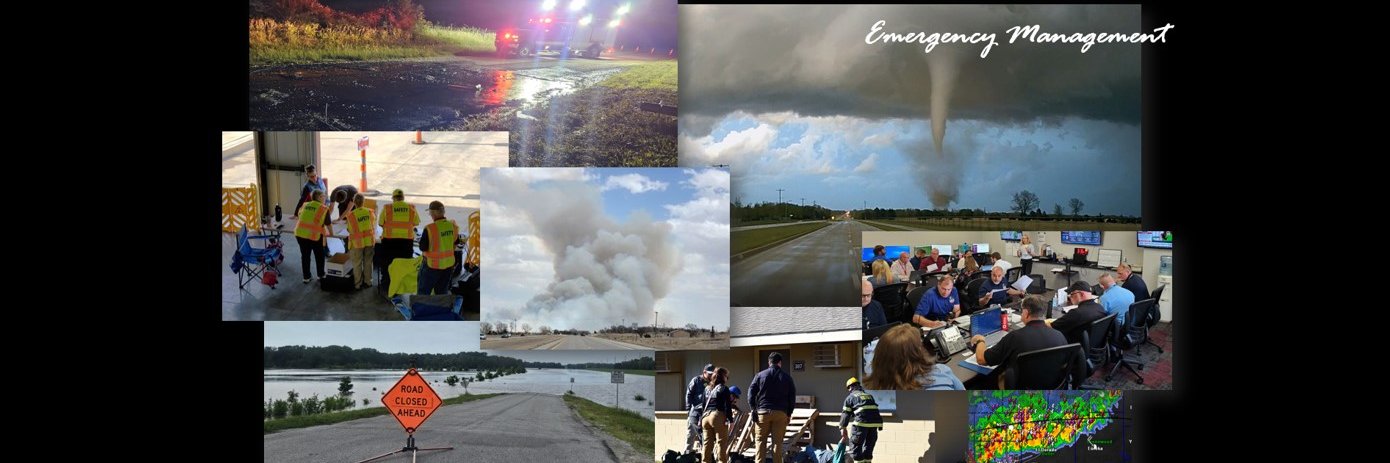
We are a local government agency, dedicated to helping our citizens, first responders, and officials prepare for, respond to, and recover from disasters.
So much for Mother Nature staying away today. There is a slight possibility that out-west storms could spill over into our area overnight tonight. And Saturday's risk is also blossoming. Large hail and dmg wind could accompany any storms that develop from afternoon and on...
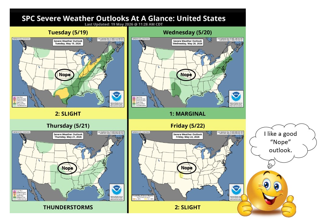
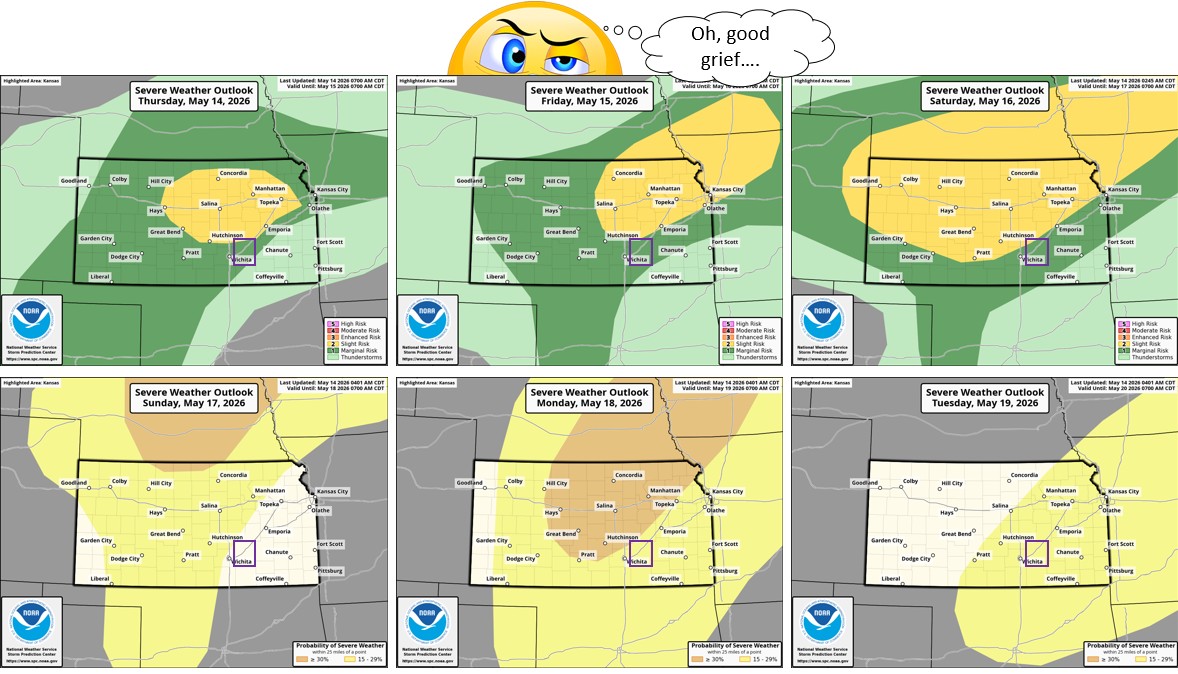
We appear to be dodging today's severe weather threat, which is currently parked over SE Kansas. Friday is also supposed to be a storm-free day, but we may be back in the game Saturday aft/eve (stay tuned!). The good news: temps will drop below "Broil" today!
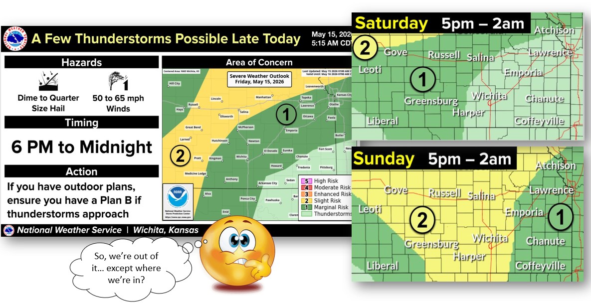
We're in the "iffy" area for storms today -- better chances to our NE. If they do develop, watch out for gusty winds, a brief tornado, and potentially LARGE hail (2" or greater). But watch from indoors -- it's gonna be another HOT one today!
We missed the 100 mph winds last night (whew) and so far our other storm chances aren't as wild... dark clouds out west today may fizzle before reaching us. Tomorrow, storms may pop here in the aft/eve. More to come after that? Oh... and HOT today (Heat Advisory in effect).
Mother Nature is not in a good mood...and she's taking it out on us in a couple ways. Could see svr hail/wind producing t-storms this evening (also watching the storm targets for the next few days). And heat indices will surge into the triple-digits today through Weds.
Some afternoon t-storm chances exist today, but forecasters aren't getting overly excited. Expecting scattered, barely-severe storms (hail, wind, heavy rain). Next (and better) chance for rainfall comes between Sat night and Sun night.
A steamy start to June today... and maybe a slightly stormy one, too? The main target is west of us, but some dark clouds with gusty winds and heavy rainfall could spill over into this area overnight. Later in the week, Mother Nature may send more moisture... without mischief?
This is why we don't trust Mother Nature. After letting us think we could be off the hook, she goes and does this... The SPC target has expanded our direction, especially the area at risk for nasty hail.
Today Mother Nature is shifting her attention to eastern KS... but she may be shifting it right past us. NWS is watching everything east of I-135, but the SPC is focused more closer on the KC metro area. Hazardous supercells possible this evening if storms do erupt.
Today Mother Nature is shifting her attention to eastern KS... but she may be shifting it right past us. NWS is watching everything east of I-135, but the SPC is focused more closer on the KC metro area. Hazardous supercells possible this evening if storms do erupt.
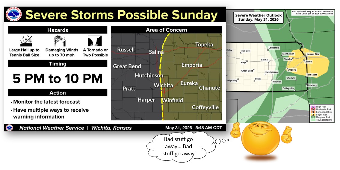
So much for our "marginal," low-risk wkd outlook.... Mother Nature took it back and substituted something much spicier. The aft/eve threat has been upgraded to very large hail, very damaging winds, and a chance for a tornado or two. (Why??)
Some severe storm targets creep our way this wkd, but so far not severely-severe. Could see some wind-and-hail producing storms, especially Saturday evening. Also, more chances to get wet, as sporadic rainfall chances continue for the next week.
We should have known Mother Nature wouldn't be satisfied with "just rain." The NWS has alerted us that the environment is right for a few random funnel or landspout sightings this afternoon. Not expecting anything strong or significant... just surprising.
Don't be alarmed by that weird wet stuff falling from the sky -- it's just that "rain" thing we keep hearing about. Moisture chances continue all the way through the wkd, possibly including a few strong-to-severe storms. BU CO is currently in a Marginal threat target for Sat.
Mother Nature meddled with our target-free outlook, sliding a bit of "Marginal" severe storm risk into Friday's agenda. Could see some small/marginally-severe hail. Still waiting for more of that measurable moisture -- a few potential chances now through Saturday!
We're grateful Mother Nature decided to (mostly) behave in our county last night - and we got wet! Looking ahead, we've got additional moisture in the forecast from Weds night and on... And it's just rain. No funny business. (No severe targets on us, at least for now.)
An ugly risk area continues to drape across Kansas for today. Highest concern is now west of the Turnpike, but we're still watching out for large hail, dmg winds, and a tornado threat. Storms may fire up mid-afternoon and then push our way into the evening.
Mother Nature has put us back in the severe weather plan for today, but fortunately the highest threat is still way north of us. Monday's threat level continues to be a big question mark (several factors could mess up M.N.'s plans) but the risk level is climbing for all hazards.
Weekend storm targets keep shifting away from us - better chances of staying dry than seeing activity (if it does pop Sun, though, expect large hail, gusty winds, and maybe a brief tornado). But Monday is looking like a different story. If it comes together, it could get dicey.
The severe targets for the next several days keep shifting -- some in our favor, some not. Tonight, we have a threat of marginal-hail and marginal-wind. Saturday's threat has left the building (for BU CO). But chances level up on Sunday... if the cap can break.
The number of Severe-Weather-Potential days keeps growing. And SPC has leveled-up the threat on several of them (BU CO is lurking on the edge of most of the elevated areas). Strong cap today, but if storms develop, they could produce severe wind and large hail this evening.