🐮 GARBAL: An EO-powered Call Centre for Farmers and Herders in the Sahel - EO Handbook Case Study
This is just one of over 40 community-contributed case studies featured in the upcoming 2026 EO Handbook. Sign up for updates:
https://t.co/bS23E0gkHW
Annual survey of CEOS Agencies is officially complete, and the MIM Database has been fully updated:
🔗 https://t.co/gKbJqX5I2k
🚀 Take a look at the latest MIM Database Quarterly report below for the latest news, recent launches, and upcoming missions
🌋 Disaster Risk Management Workshop - hosted by @ASI_spazio
WGDisasters shared their activities with the international community, present their own activities and projects, and stimulate future engagement of new partners and collaborators.
🔗 https://t.co/1dkggWaGiA
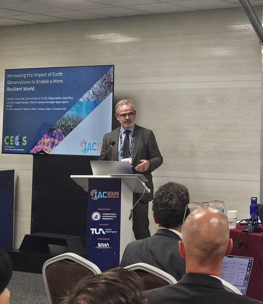
🛰️ CEOS @ #IAC2026 - Increasing the Impact of Earth Observations to Enable a More Resilient World
📷 2027 CEOS Chair, Christian Hauglie-Hanssen presenting on behalf of CEOS during the International Ventures in Earth Observations session
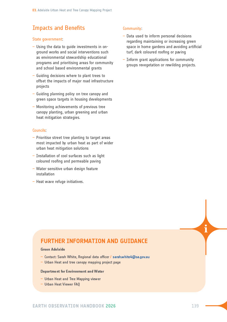
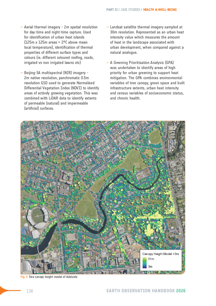
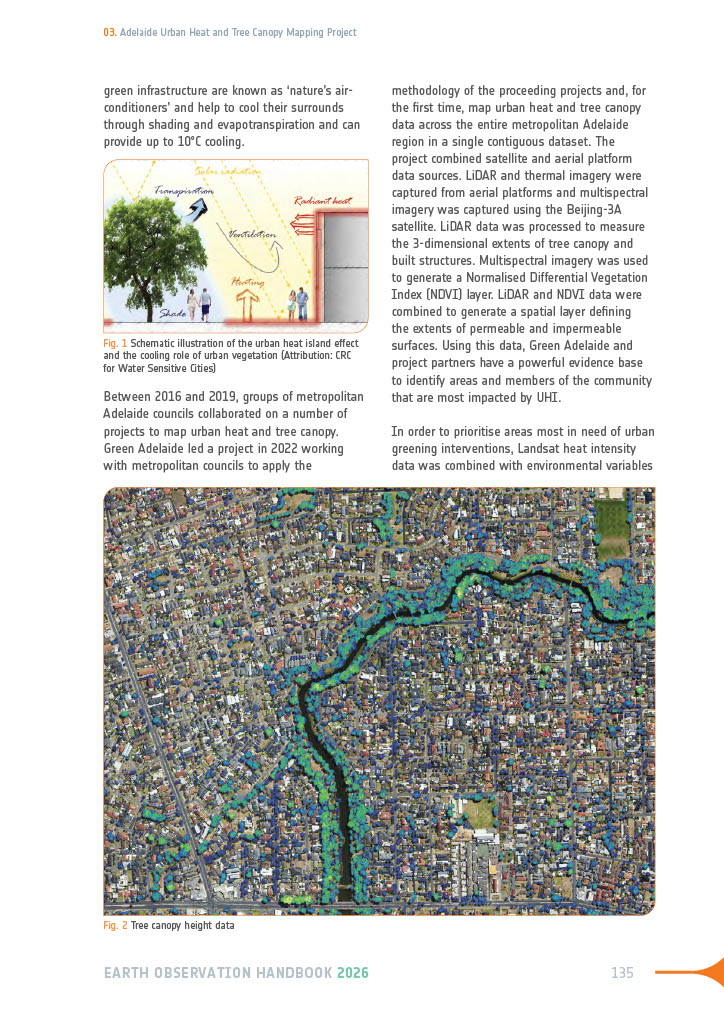
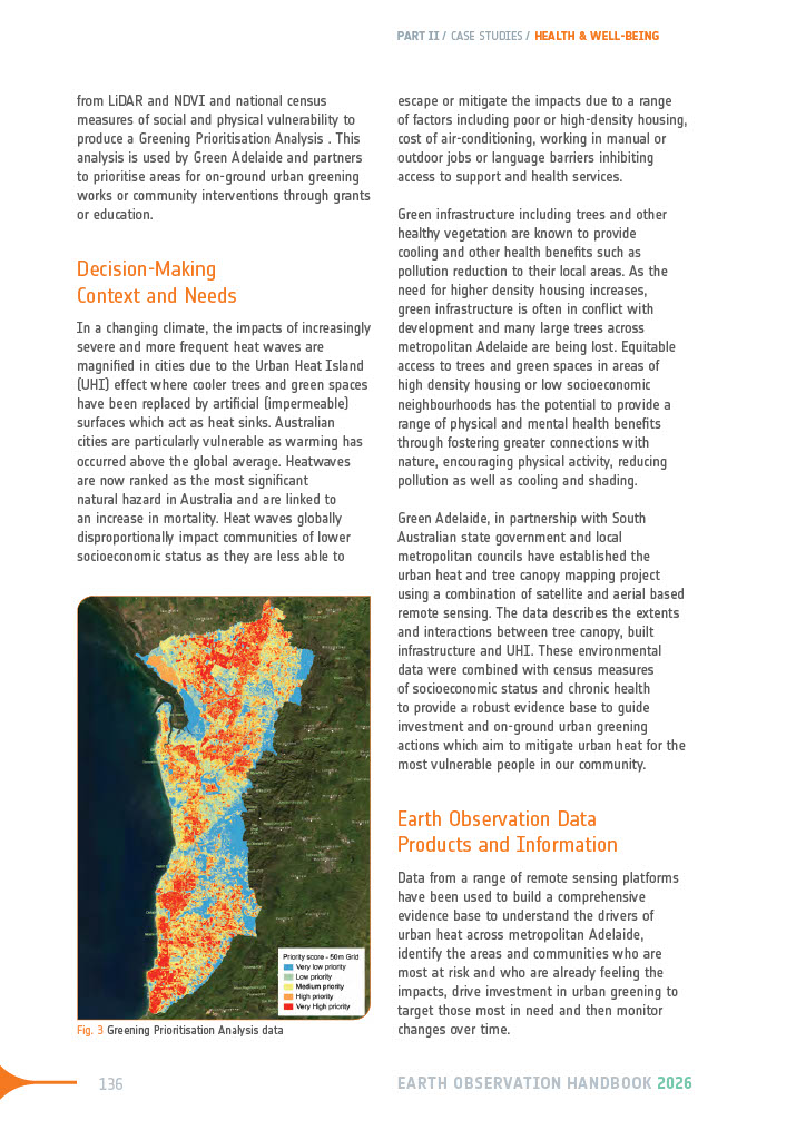
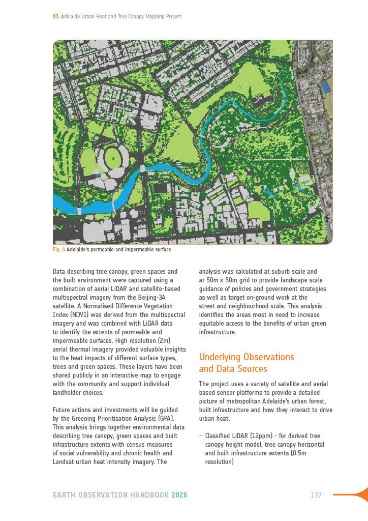
🌡️ Case Study: Adelaide Urban Heat and Tree Canopy Mapping Project - one of over 40 case studies featured in the 2026 EO Handbook: Satellite Observations in Support of Adaptation and Resilience.
📩 Sign up to hear when the handbook officially drops: https://t.co/bS23E0gkHW
🌳 🛰️ CEOS AFOLU Roadmap progress: JAXA Solidifies Support for Critical Wetland Ecosystems
New data agreement between @JAXA_en and @RamsarConv - providing global L-band radar mosaics and ALOS-2 ScanSAR data, as well as thematic products
🔗 Read more: https://t.co/nJ3OXlL7lF
🗺️ Why a Pretty Map Is Not Always an Accurate One - CEOS Land Cover Validation Protocol
Read more about the document in the latest #newsletter article:
https://t.co/6WprPOgYZ8
🔥 Wildfire Coordination: Strengthening Global Fire Monitoring from Space
🛰️ CEOS Wildfire Missions Portal: https://t.co/1LQteS6BZx
👥 CEOS International EO Wildfire Coordination Group within LSI-VC
🍂 WGDisasters Wildfire Preparedness Pilot
https://t.co/ubaqCGTCXY
📚 Evolution of the Earth Observation Handbook - from the first edition in 1992 to 'Satellite Observations in Support of Adaptation and Resilience' to be released in November 2026
https://t.co/kyUwPz7Q9Y
📝 Mailing list: https://t.co/t5ahdzf7QK
🌋 EO for Disaster Risk Management
WGDisasters met last week in Rome, Italy, hosted by @ASI_spazio - alongside a workshop was held to facilitate discussions with the international scientific, institutional and industrial community working in the field of Disaster Risk Management
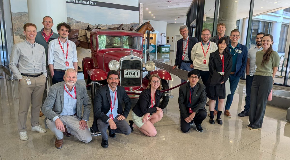
⛰️ Land Surface Imaging & @CEOSARD @ @USGS HQ
Great feedback from the community regarding the adoption of CEOS-ARD standards - with many providers, both civil and commercial, now providing or developing CEOS-ARD compliant products 🛰️
CEOS-ARD products:
https://t.co/vHQJbAqrKf
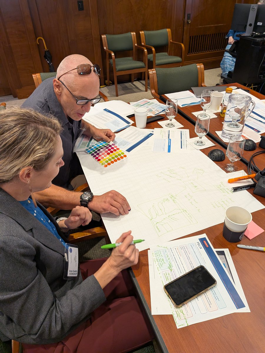
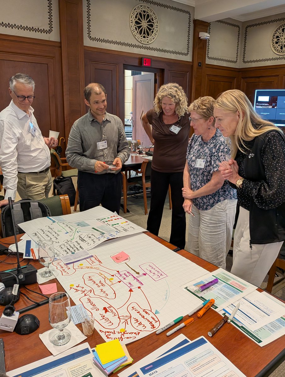
🚰 Remote Sensing of Water Quality: Requirements for Comprehensive Catchment-to-Coast Observation
2nd Water Quality Workshop was held on 11 Sept 2026 - aiming to breakdown barriers between communities, to create integrated solutions to inform water management practices
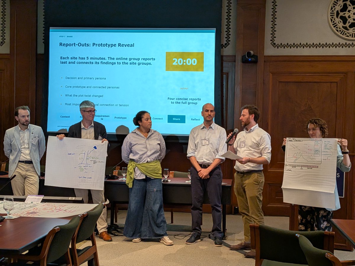
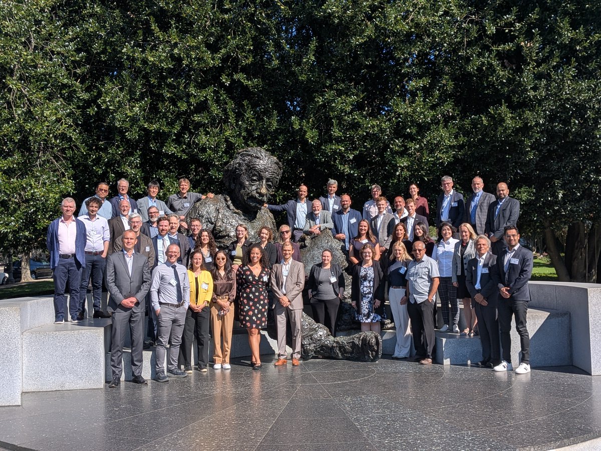
🛠️ CEOS SIT Technical Workshop 2026
This week, the CEOS Community gathered in Washington DC, USA, for the 2026 SIT Technical Workshop - hosted by @NASAEarthData
Thanks to everyone who contributed to the discussions!
👥 2026 CEOS EO Data Providers Collaboration Forum - hosted by @NASA@NASAEarthData
Convened representatives from CEOS, along with Earth Observation data provider companies, to discuss the evolving linkages between civil and private sector Earth observation systems.
🌐 Which global DEM should you use?
The DEM Intercomparison Exercise (DEMIX) put free, open and global DEMs to the test to help users identify which DEM products perform best for different applications, terrains, and geographies.
🔗 https://t.co/B9wUVsh8yL
🔎 Interoperable Interfaces: Enabling Machine-to-Machine Access
Interface is one of the key interoperability factors, with recommendations across three areas: Data Discovery, Data Access, and Authentication and Authorisation.
https://t.co/cb632Ggx4Z
At #IGARSS2026? Catch CEOS in the exhibition hall!
The team are also presenting two papers this week:
🗺️EO-GPT: An Open Source AI Framework for Earth Observation Analysis
🛰️COVELib: An Open-Source Library for Satellite Coverage and Coincidence Analysis