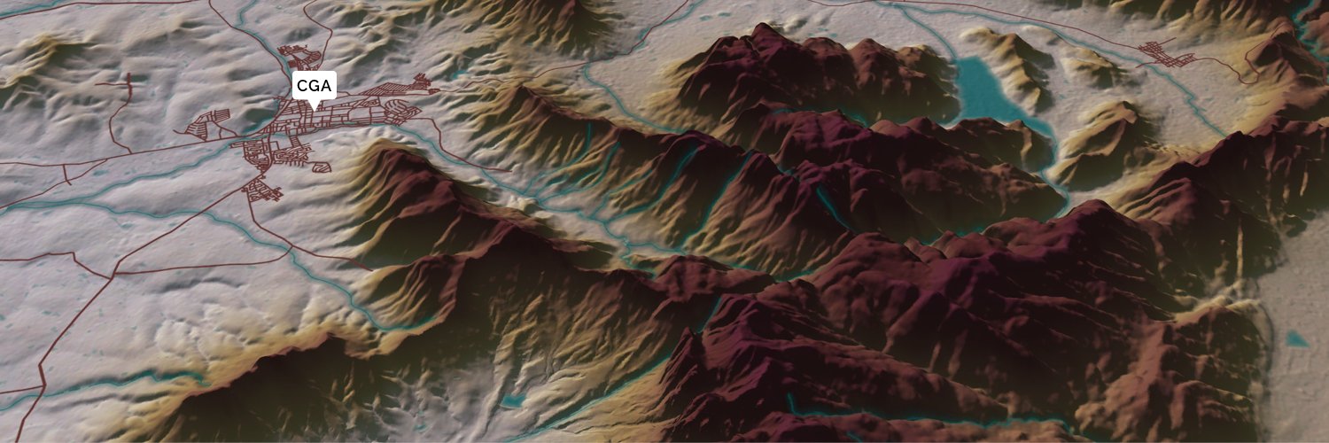
The Centre for Geographical Analysis (CGA) is a self-funded research and service institution at Stellenbosch University, specializing in GIS and remote sensing
Focused on customised geospatial data acquisition and management, we cater to diverse client needs. Our distribution methods include datapacks, online geodatabases and API integration, ensuring seamless data utilisation across various applications.
Maps are visual representations of geography & they're tools for communication. By transforming complex spatial data into maps, cartography helps decision-makers, researchers, and communities see patterns, understand relationships, and make informed choices.
The Landsat program has been continuously photographing the Earth since 1972! Satellite images help track deforestation, urban expansion, and water resources, forming the backbone of remote sensing studies, like the ones the CGA conducts.
Photo: @USGS via @unsplash
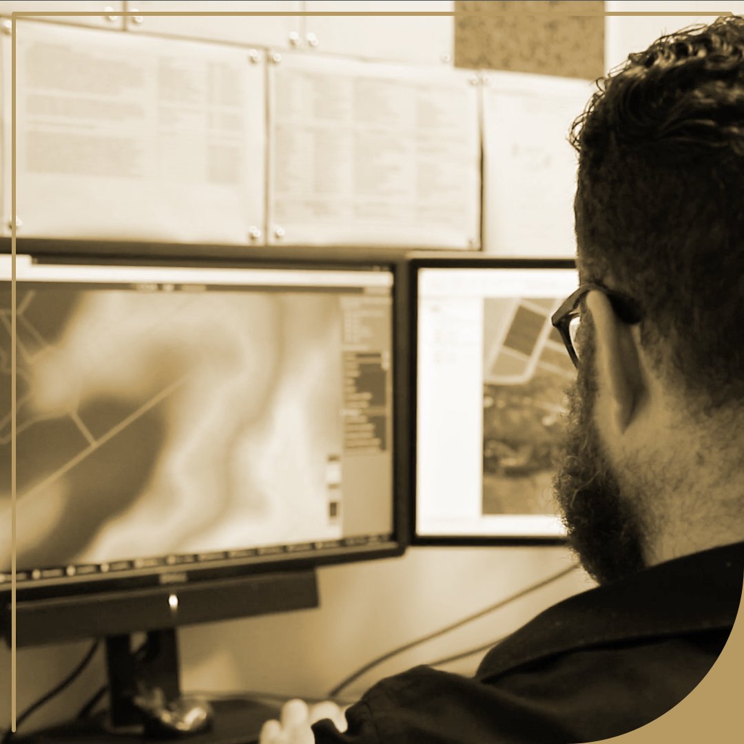
Service: Software Development
We develop tailored geospatial websites and software, including database #management, data visualisation, and data processing. We also enable #seamless B2B integration through API-based data exchange.
Explore the volcanic #landscape of Tongariro National Park in New Zealand, captured by Landsat 8. From Mount Ruapehu to Mount Ngauruhoe and Mount Tongariro, this active volcanic region is both powerful and breathtaking. 🌋
Service: Analysis & Research
We harness GIS, EO analysis and machine learning modelling in research and development across industries. Our results are disseminated through maps, data packs, technical reports or online geospatial apps, benefiting a variety of clients around SA.
From above, Rome reveals layers of history shaped over thousands of years. Aerial perspectives highlight the city’s intricate urban patterns, where ancient landmarks, winding streets, and modern life intersect in one of the world’s most iconic landscapes.
Image: Google Earth
At the CGA, geospatial analysis is about revealing connections. By linking patterns in nature and society, spatial data becomes insight that drives better research, planning, and decisions.
Roger Tomlinson began work on the Canada Geographic Information System (CGIS), one of the first computerised GIS systems, a direct ancestor of modern #GIS.
#Thanks, Roger!
#research & #Development is at the heart of what we do; advancing #geospatial#Science through innovative analysis, AI & ML workflows, and #data-driven solutions across diverse geospatial fields.
An aerial view of sediment swirling in the Gulf of Mexico off the Louisiana coast, #shifting from deep reds to smoky blue-grey #tones and resembling planetary imagery in #Motion.
Photo credit: @USGS via @unsplash
We’re #ready for the year ahead!
The CGA offices are open, and we’re looking forward to a year of advancing geographic #KNOWLEDGE, #Collaboration, and impact.
Here’s to a productive year ahead.
✨ Office Closure Notice ✨
The CGA office will close on 23 Dec 2025 and reopen on 12 Jan 2026.
Thank you for your #support this year. We wish you a happy, #SAFE, and restful #festive season!
We'd like to congratulate our very own Bradley Davids for recently acquiring his Honours in Geoinformatics. Well done, Bradley!
#DataScience#machinelearningmagic
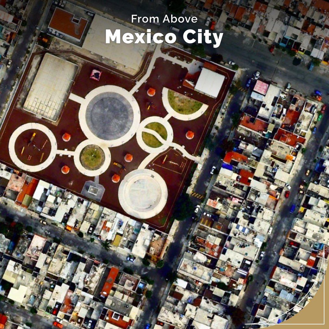
🌆 This aerial view of Gustavo A. Madero, northern #Mexico City, highlights how dense urban areas rely on wastewater treatment plants to protect strained water supply and reduce contamination. Essential infrastructure for a growing city. 💧
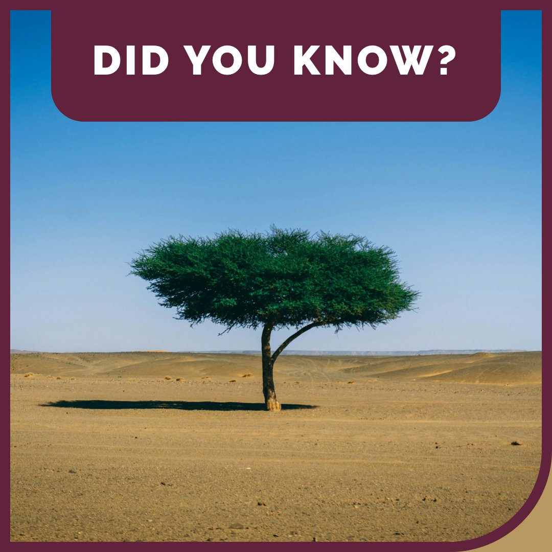
Beneath the Sahara lies a hidden world of #underground#rivers & aquifers, relics of a time when the desert was a savanna.
The largest, the Nubian Sandstone Aquifer System, spans Egypt, Sudan, Chad & Libya, leaving a reminder that even the driest places hold stories of #water.