We're #hiring a Geospatial UI/UX Engineer!
Use dashboards, data portals, and more to help decision-makers take action on challenges like housing inequity and water scarcity.
Passionate about data visualization and tackling complex problems? Click⬇️
https://t.co/6f6f2Wwhtr
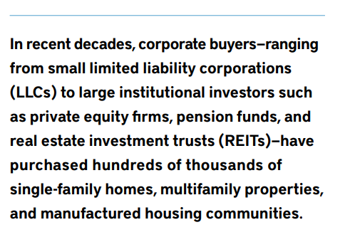
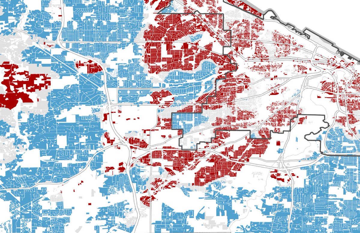
INBOX: From @landpolicy & @CGS_Earth, a new study shows the erosion of property ownership by people -- and growth of corporate ownership in the US. 1/4
NEW: report from @landpolicy and CGS identifies land ownership across the US, revealing where 20+% of residential land is corporate-owned.
🏢8.9% of residential land nationwide is corporate-owned
📍25 county hot spots reveal neighborhood disparities
https://t.co/5Tz90VaOQA
Knowledge Graph Engineer (https://t.co/PoLfwhmv4d):
Advance the Geoconnex system and build #OpenData infrastructure that connects people with the information they need.
We’re #hiring for 3 new teammates that will help shape how #WaterData is shared, connected, and used to drive change. More info👇
-Water Data Engineer https://t.co/pgnWuKYY0v
-Manager, Program Operations https://t.co/t1FukZonII
-Knowledge Graph Engineer https://t.co/PoLfwhmv4d
Manager, Program Operations (https://t.co/t1FukZonII):
Use your agile program management expertise to keep high-impact projects moving smoothly and help modernize national water data infrastructure.
Water Data Engineer (https://t.co/pgnWuKYY0v): Lead the integration and analysis of complex water datasets, connecting brilliant teams and powering the vision of the @internetofh2o
Lincoln Institute in the @washingtonpost: @MJ_Coren cited our President and CEO @GMacMcCarthy's President’s Messages and @CGS_Earth's analysis in his recent column on America's housing shortage. Read the piece: https://t.co/A9kTckjoFo
@internetofh2o The Explorer is the first public data discovery tool built on this system and it’s just the start. We’re entering a new era of connected, place-based #WaterData. We can’t wait to see how it supports new tools, insights, and actions for #WaterResilience.
Congrats to the IoW team!
It’s a big day for our @internetofh2o team: we’re proud to introduce Geoconnex Explorer, a new river data discovery tool making it easier than ever to see who’s monitoring what, where, and how across America’s rivers!
https://t.co/qmtJEDRqPP
@internetofh2o Geographic and administrative boundaries don’t always match up. That’s why it’s critical to tie water data to the physical places it represents. Our knowledge graph and open-source experts have spent years building the Geoconnex system to do just that.
In Pinal County, we partnered with Arizona Water Company to replace fragmented data and paperwork with clear, parcel-level insight comparing actual water use to 100-year allocations.
See what this could look like in your region:
https://t.co/YAteHMmMob
Representatives from CLU and the Lincoln Institute’s @CGS_Earth will be available in the exhibit hall throughout the conference.
Learn more about our presence at the conference: https://t.co/H0H0zFvdf1
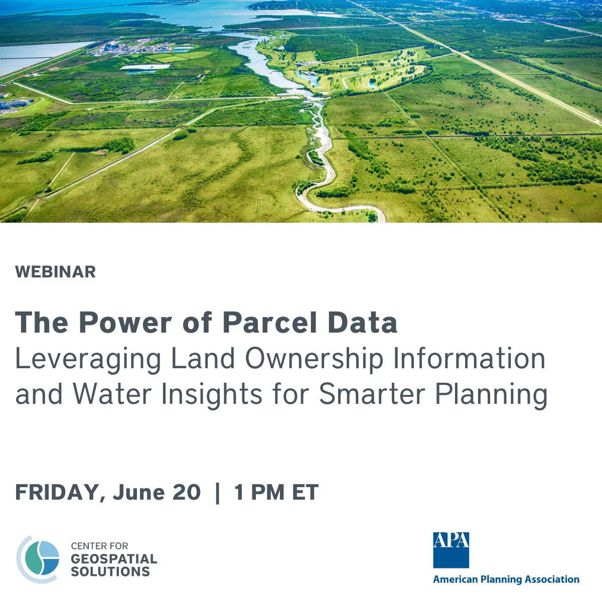
Planners: From drought to development, smarter water planning starts with knowing who owns the land.
Join us and the @APA_Planning for a webinar on how parcel-level land ownership data can help planners connect land use and water systems.
https://t.co/LiRLjXW12X
On June 20, @CGS_Earth experts are previewing their parcel-level water data in a webinar hosted by the APA Water and Planning Network and APA Ohio Chapter. Register for the 1 p.m. ET event:
https://t.co/ijlDaIoobC
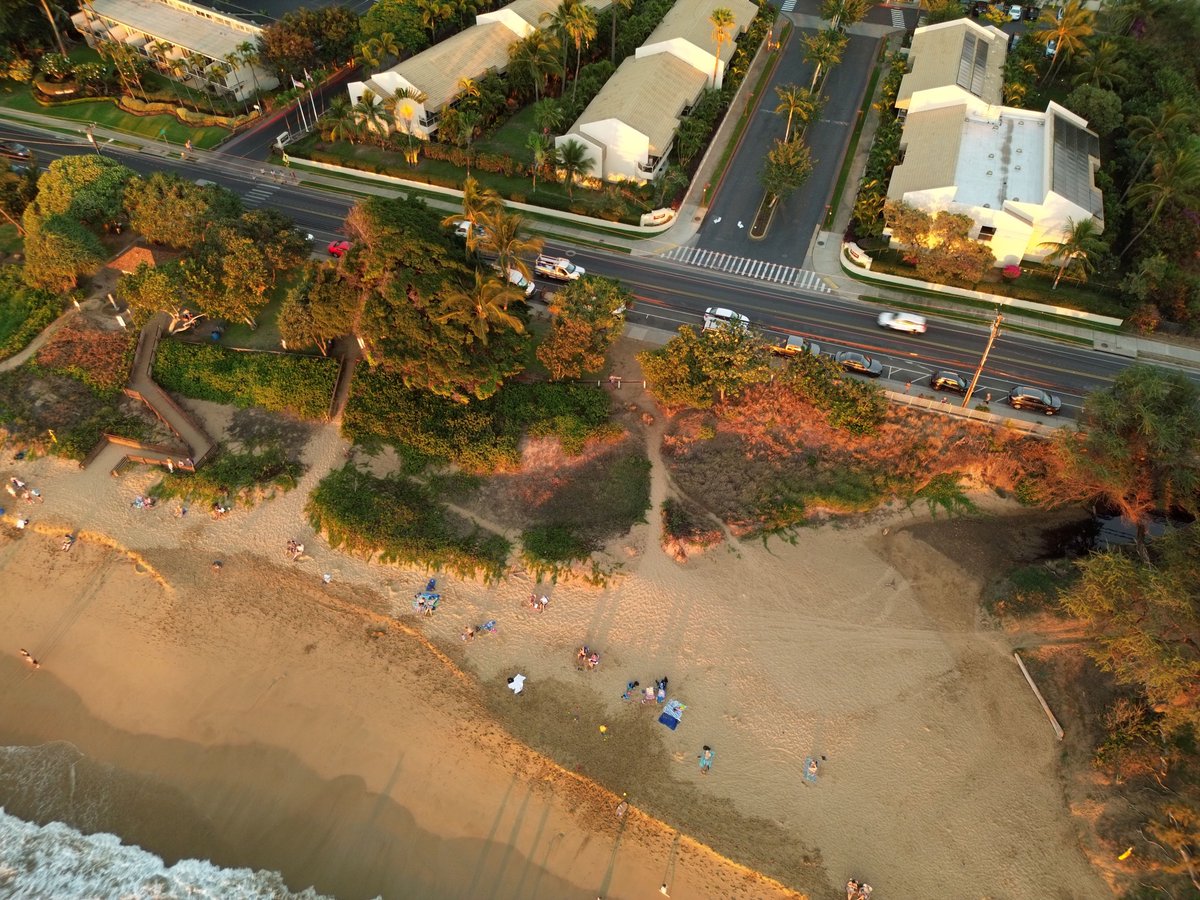
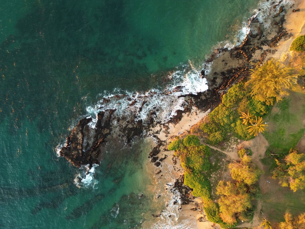
Happy #InternationalDroneDay! We use #RemoteSensing in a lot of our work—from identifying wetland landscapes and flora to creating systems to monitor remote sites. But we also get to use drones just for fun. Check out these gorgeous shots our own Jake Czawlytko captured in Maui!
At CGS, we've leveraged technology to uncover exactly #WhoOwnsAmerica—but why ask that question to begin with? CGS Director Jeff Allenby joined WCET to discuss how this knowledge has the potential to impact the #HousingCrisis.
Check out the podcast: https://t.co/CCEfKD336k
Technology is a powerful tool—it can drive rent hikes, or empower cities to preserve housing stock.
At CGS, we’re helping local leaders harness data and geospatial tools so they can act quickly with community-first policy to address #AffordableHousing.
https://t.co/nbvzq9CGeC
Where can we locate affordable housing? And how do we pay for it? In a recent webinar hosted by the Lincoln Institute, experts from @CGS_Earth, @MassHousing, @CincinnatiPort, and @Guidehouse discussed solutions to these thorny fundamental problems: https://t.co/pPCAyilv6F
Happy #InternationalOpenDataDay! We’re thankful for all of our partners who create strategies and technology to empower us to share #WaterData across geographic and organizational boundaries.
New to open data? Check out our blog and other IoW resources:
https://t.co/Wb5ZGnqCD1