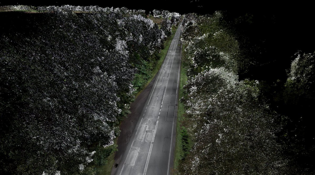
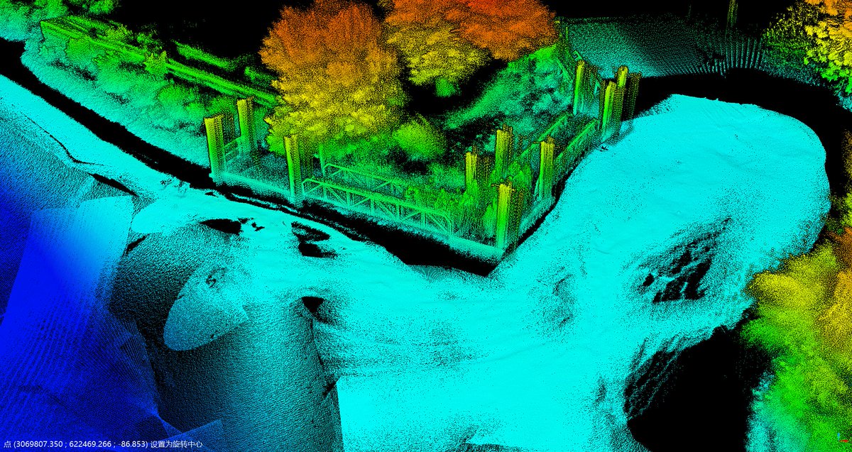
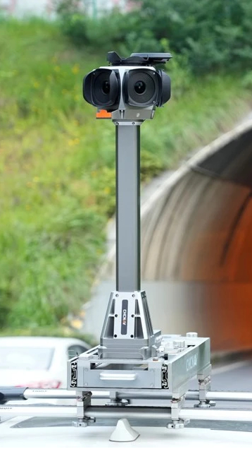
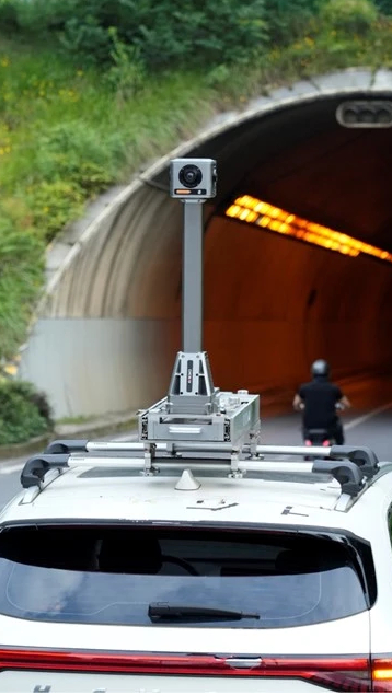
Choosing a 3D laser scanner? Start with your project, not the spec sheet. Consider the deliverable, site conditions, accuracy and workflow before choosing a platform.
Read the guide: https://t.co/4dfnMyHM5E
#CHCNAV#LiDAR
CHCNAV ➡ bauma CHINA 2026 ➡ Shanghai ➡ Booth H3.149
Join us Nov 23–26 to explore our construction and surveying technologies.
📍 SWEECC, Shanghai
#CHCNAV#baumaCHINA2026
Stockpile volume measurement in 3 steps:
Scan the pile with LiDAR.
Define its boundary.
Calculate the volume directly on your tablet.
No need to climb the pile.
Watch the demo: https://t.co/c4gPpUt3ea
#CHCNAV#LiDAR
Is positioning accuracy enough?
Reliable positioning matters just as much. Discover how GNSS, inertial navigation and sensor fusion support resilient workflows and dependable spatial data.
Read more: https://t.co/9w4Ty6FTB6
#CHCNAV#GNSS
CHCNAV partner NaviGate demonstrated the AU20 MMS Dual for road surveying. Dual LiDAR and the C7200 camera capture detailed data for road asset management and infrastructure projects.
https://t.co/8RwqonXZX4
#CHCNAV#AU20#LiDAR
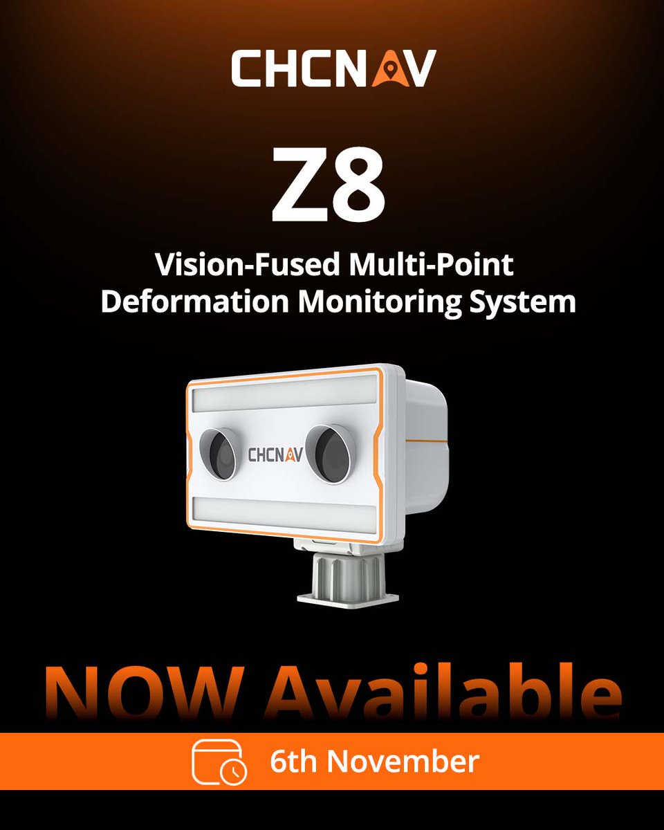
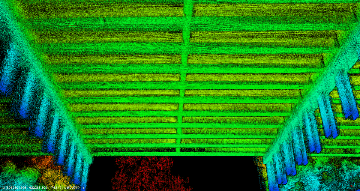
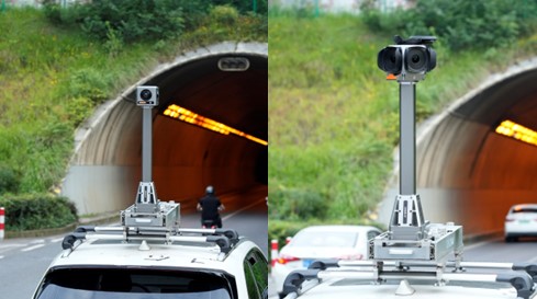
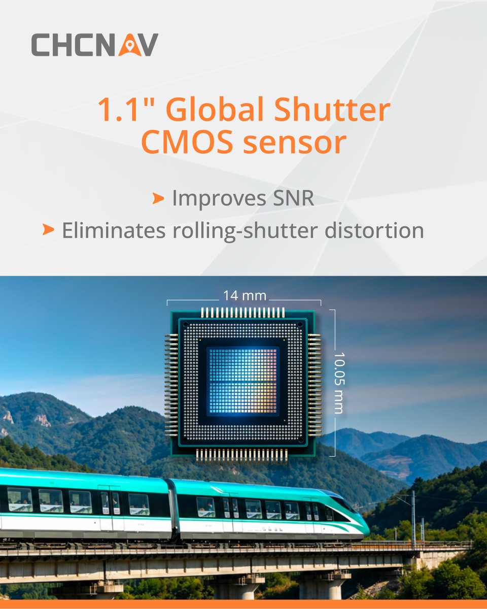
CHCNAV Z8: a vision-fused wide-area deformation monitoring system combining interferometric radar, visual imaging, and edge computing. With 360° coverage and sub-millimeter-level monitoring, it's built for demanding sites.
https://t.co/4koyqPzdrX
#CHCNAV#Z8#Monitoring
How do you capture fine details across a 130 km power line corridor? In South Africa, our partner used the CHCNAV AlphaAir 15 Pro airborne LiDAR system to map towers and overhead ground wires in 3D.
Read more: https://t.co/kPmM6w64Z2
#CHCNAV#LiDAR
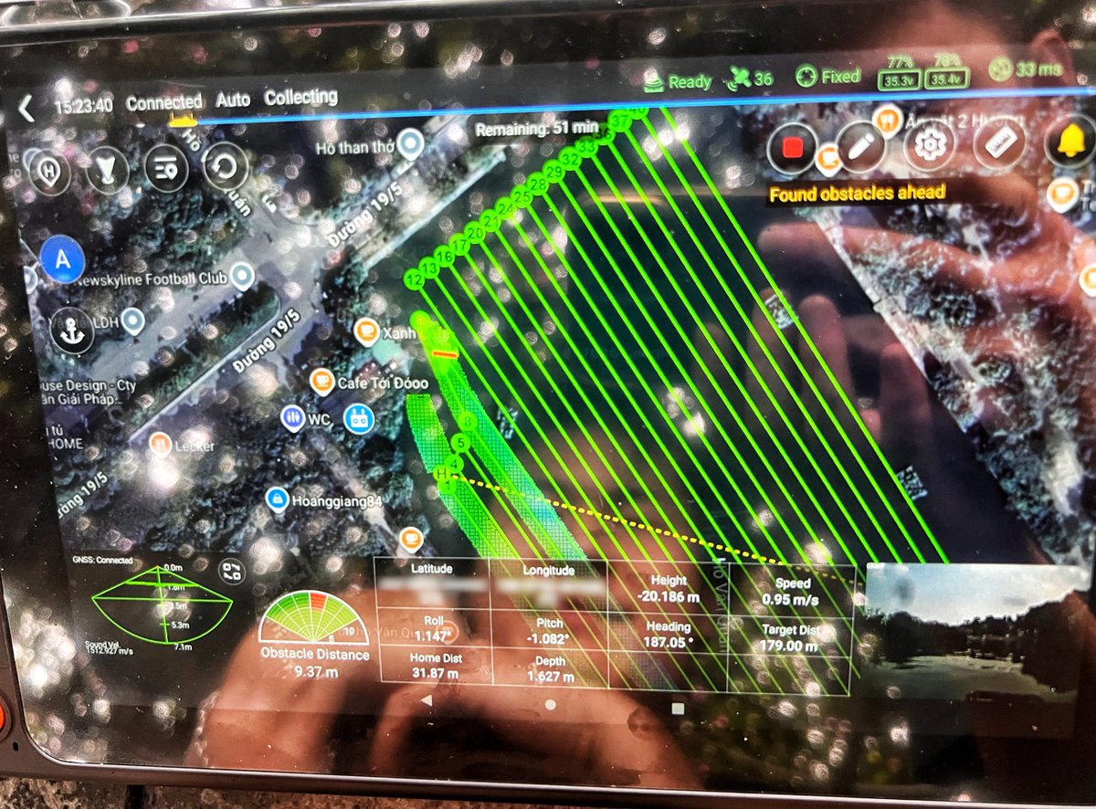
River and bridge surveys span two environments.
With support from Norbit Subsea & G360, CHCNAV combines USV-based multibeam sonar and LiDAR to connect underwater terrain mapping with above-water structure scanning.
Explore: https://t.co/EmUaMb3VDt
#CHCNAV#Hydrography
River and bridge surveys span two environments.
With support from Norbit Subsea & G360, CHCNAV combines USV-based multibeam sonar and LiDAR to connect underwater terrain mapping with above-water structure scanning.
Explore: https://t.co/EmUaMb3VDt
#CHCNAV#G360#Hydrography
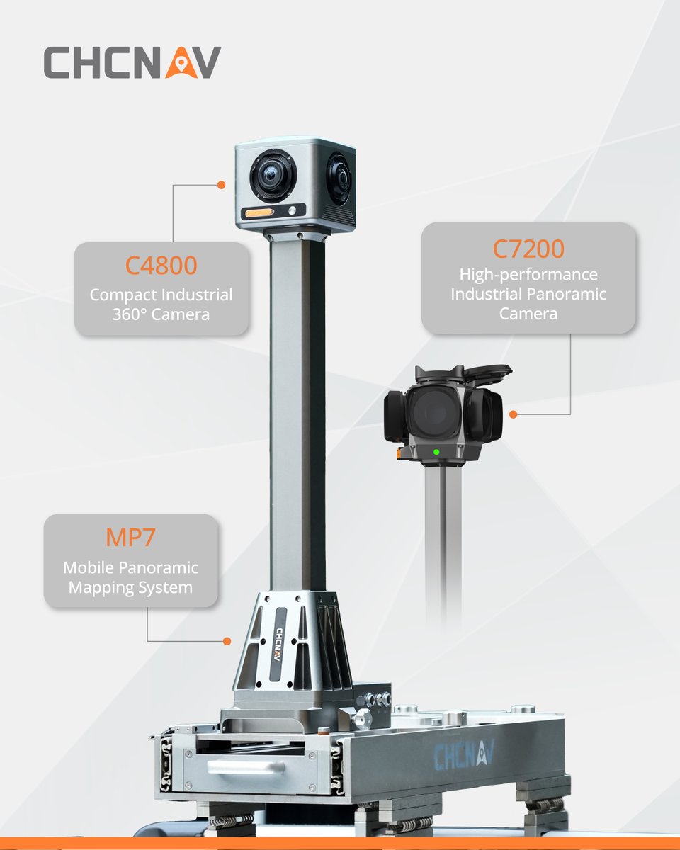
The CHCNAV MP7 combines 360° imaging and positioning in one mobile mapping system, compatible with C4800 and C7200 panoramic cameras.
Explore MP7: https://t.co/vQFDf8fDp7
#CHCNAV#MP7
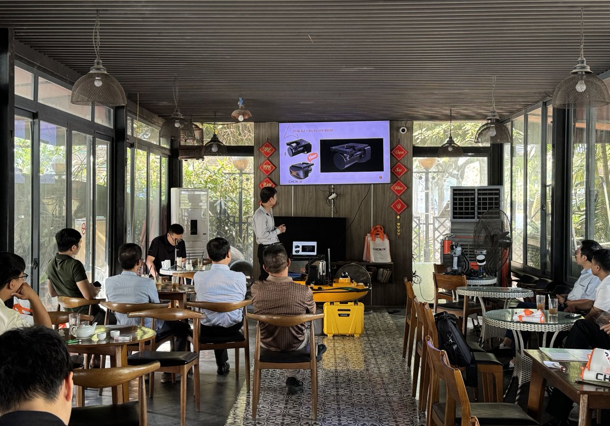
CHCNAV held two Marine Day events in Hanoi, Vietnam, showcasing the Apache 4 Pro, HN-400M, D60, and RS3600D for marine surveying applications.
Explore our solutions: https://t.co/RmULz1ZATo
#CHCNAV#MarineDay#MarineSurvey
A look back at Hydro 2026 🌊
CHCNAV showcased its marine surveying portfolio alongside partner Ultimated, featuring the APACHE Series USVs, HN-400M Multibeam Echosounder and RiverStar Series ADCP.
#CHCNAV#Hydro2026
CHCNAV ➡ Locate26 ➡ Booth 21a ➡ Melbourne Convention and Exhibition Centre, Australia
Join CHC Navigation in Melbourne, Nov 24–26, to explore our latest innovations and solutions for surveying, construction, and everyday operations!
#CHCNAV#Locate26#Geospatial#Surveying
🗺 CHCNAV at CONSTRUTEC 2026 | Madrid, Spain | Stand 7F22
Join CHCNAV and AC21 Geospatial, Nov 10–13, in the BIM Area to explore geospatial technologies connecting digital models with real-world conditions for more accurate, efficient BIM workflows.
#CHCNAV#CONSTRUTEC2026#BIM
A first look at CHCNAV’s upcoming smart agriculture solutions.
At our 2026 Agriculture Partner Conference, partners explored developments in agricultural navigation, irrigation, and spraying control.
Read the recap: [News article link]
#CHCNAV#SmartAgriculture
GPS vs. manual grading: How can machine control improve consistency on site?
Explore how digital design and real-time machine positioning are changing earthmoving workflows.
Read more: https://t.co/uIuTjRoRN6
#CHCNAV#MachineControl#Construction
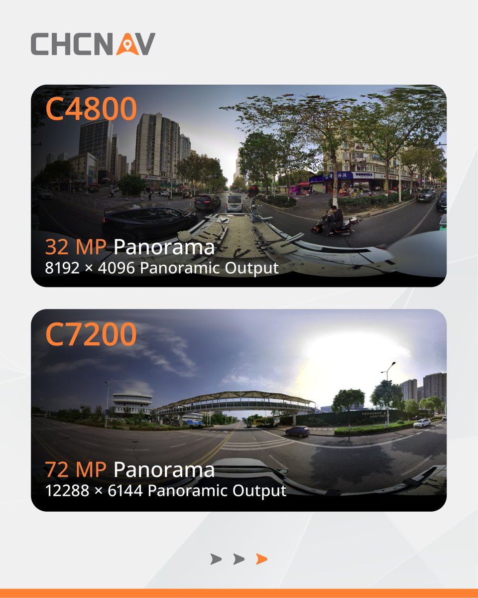
Meet the new CHCNAV C4800 and C7200 industrial 360° cameras.
C4800: 32 MP panorama, integrated GNSS, onboard storage, open SDK.
C7200: 72 MP panorama, 2 TB storage, integrated GNSS, open SDK.
Built for professional mobile mapping and infrastructure workflows.
#CHCNAV
Meet CHCNAV CoViewer — a free, lightweight desktop viewer for 3DGS visualization.
Explore complex scenes, review details, customize views, and bring CoCloud projects to your desktop for offline viewing.
Free to download:
https://t.co/qloMspdwjY
#CHCNAV#CoViewer#3DGS