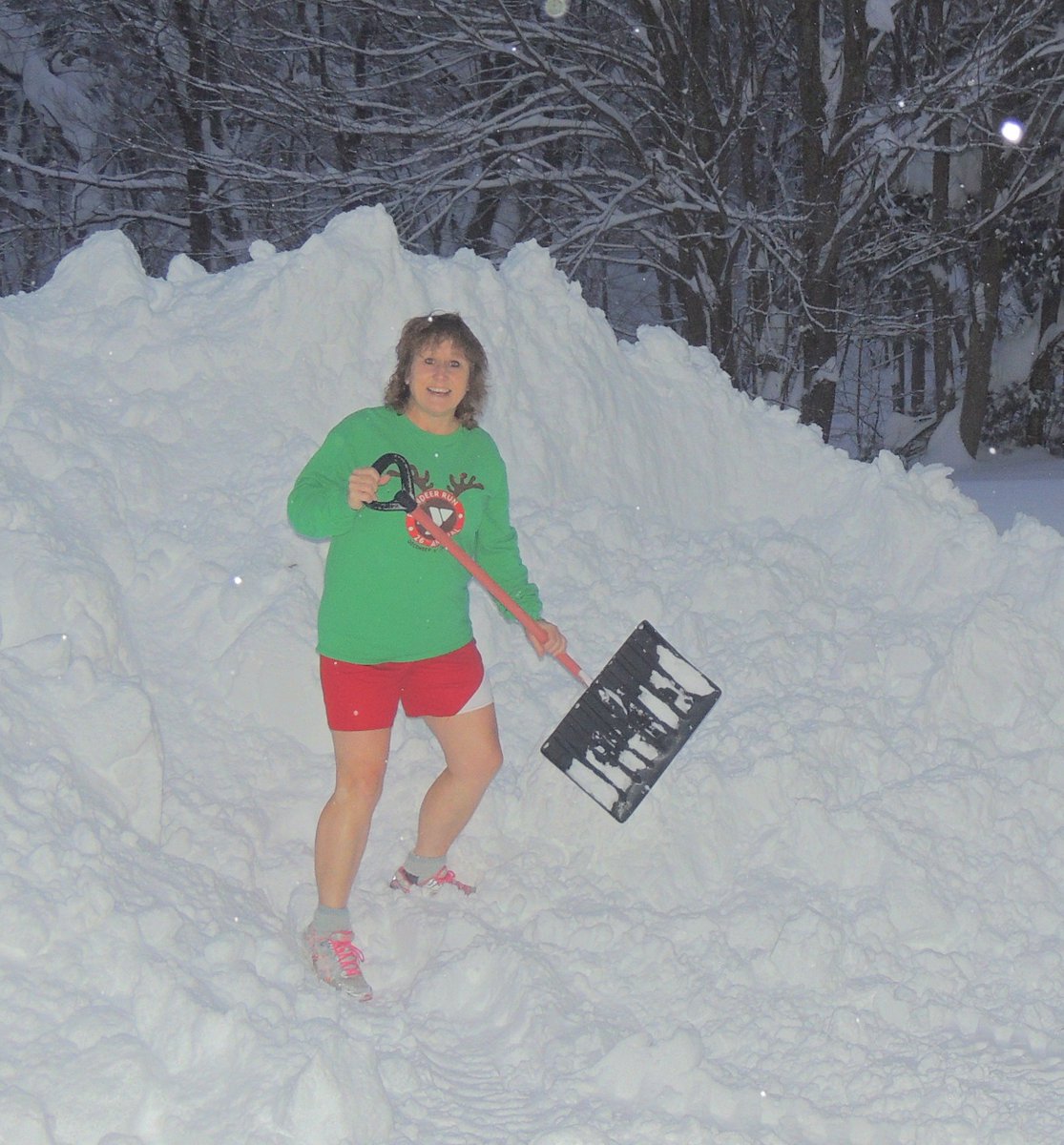
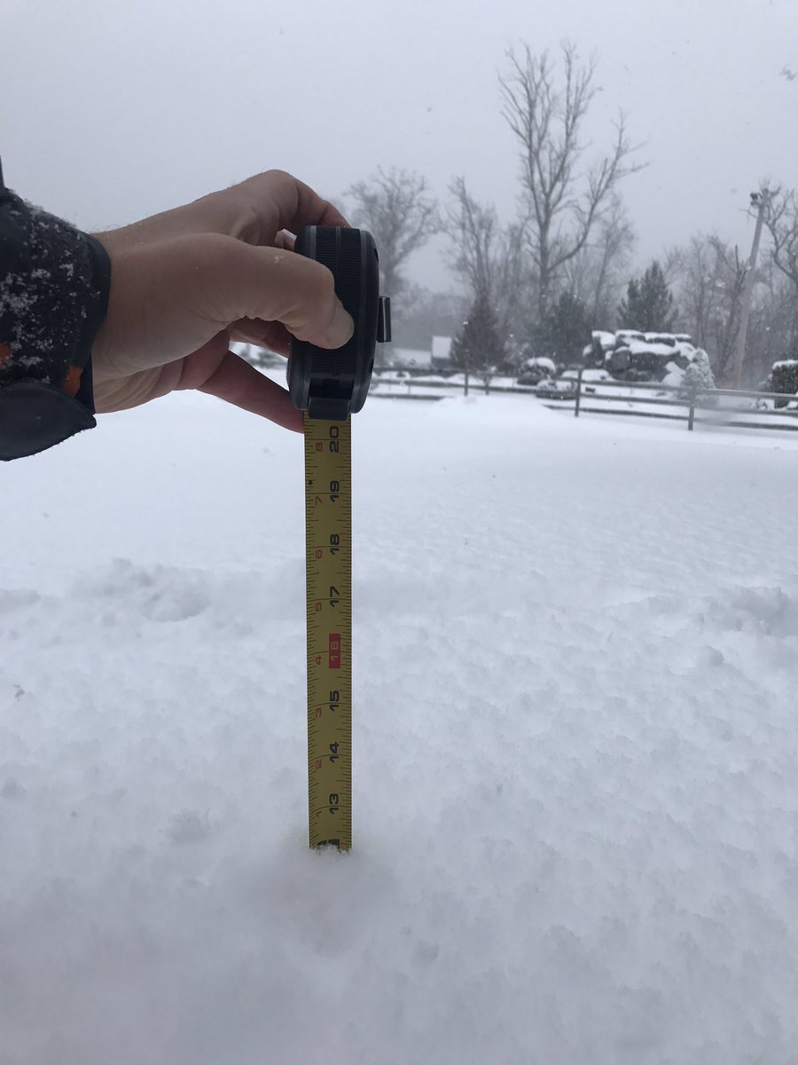
Heavy lake effect overnight 17.1 inches overnight..Worked up a sweat shoveling and had to get my shorts on! lol 99.7 inches for the season.. still a bit behind last year (115.5") but we are getting there.. That is 70.6 inches in 7 days.. again not a record but significant
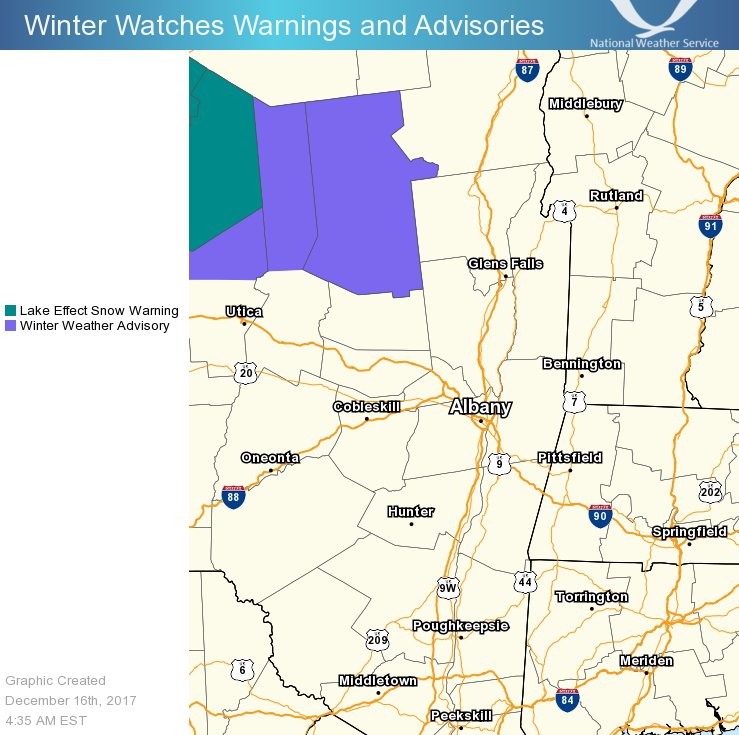
Winter Weather Advisory for Lake Effect Snow until 1 PM for the western Adirondacks. Scattered snow showers and flurries elsewhere today, with highs mainly in the 20s.
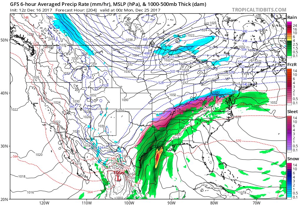
There is the potential for unsettled weather and travel disruptions to occur in the central to eastern US in the days surrounding Christmas: https://t.co/pHc2VFABqM
Lack of ridging near Greenland by day 15 may hinder prospects of sustainable cold in the East, but ridging near Alaska will certainly promote shots of cold into the Midwest #natgas
Snow globe in Oswego County, NY with a snowfall rate of at least 2"/hour. The short term high res models forecast an impact for the AM rush in the #Syracuse area. We'll be back at 6 AM ET on @weatherchannel
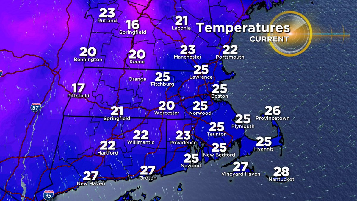
It's a close call between a non-event and a slippery early commute on Thursday. If the light snow makes it into CT, it will stick with temps in the low-mid 20s. I have the latest on News8 at 5.
#WTNHweather
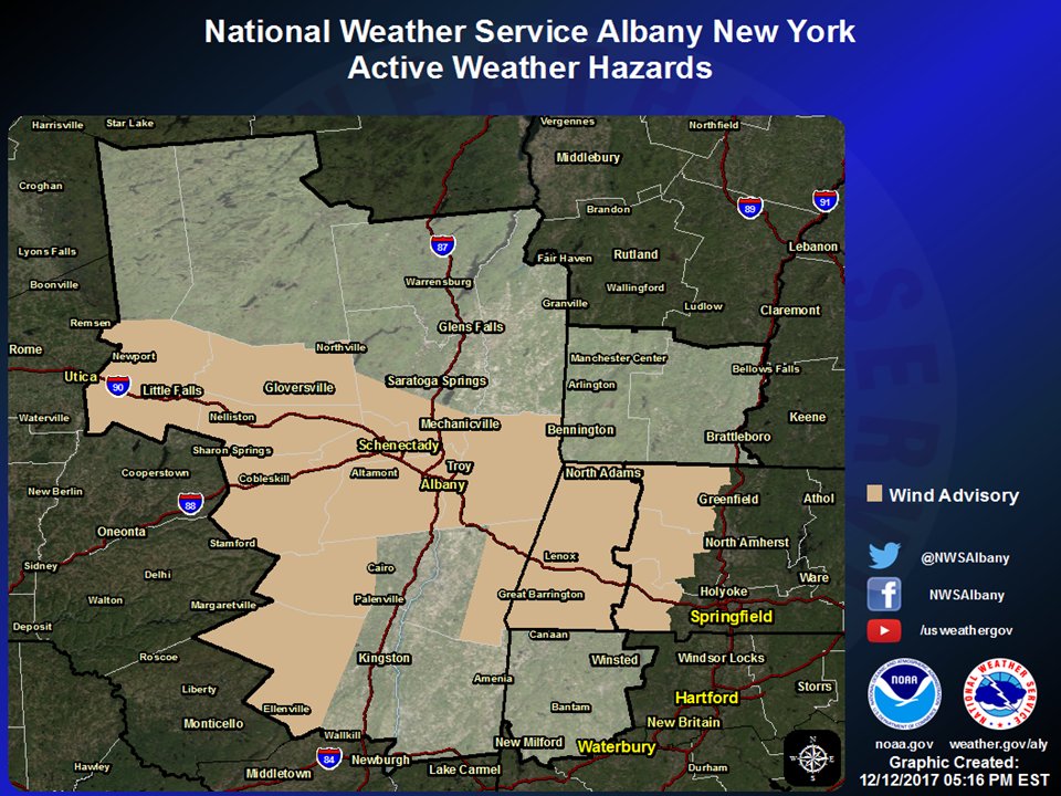
There are Winter Storm Warnings and Winter Weather Advisories valid through Wednesday, and a Wind Advisory valid 7am-7pm Wednesday (see attached graphics for locations). More specific information regarding these headlines and their impacts can be found on the attached graphics.
Wind chills are currently in the single digits across most of the area this morning! Temperatures today will rise into the mid 20s to lower 30s with daytime wind chills in the teens to near 20 due to gusts of 30-40mph.
As temperatures tonight fall into the 20s across much of the area, any snow that has melted will refreeze; use caution when traveling tonight into Monday morning. Some isolated to scattered snow showers are also possible late tonight into tomorrow AM.
Classic in-situ cold air damming setup for tomorrow morning. Very weak low level flow will trap cold in valley. Models likely warming up things too fast... expect freezing rain and icing for a bit in the morning inland CT. #nbcct