Good Sunday Evening! Great weather will continue tomorrow, and temperatures will gradually increase throughout mid week. But, we will have a cold front pass through on Friday morning that will cool us off nicely just in time for the start of fall.
Happy Saturday! High pressure will keep us dry with plentiful sunshine for the next several days. Temperatures will get into the 90s by the mid/end of the week before a cold front on Friday morning brings relief. TS Fiona will stay well east of the coast.
We are under a level 1/5 risk for severe weather this afternoon and through this evening. What this means is isolated severe storms are possible, and the chance for a spin up tornado cannot be ruled out. Any storms although should be short lived. #ncwx
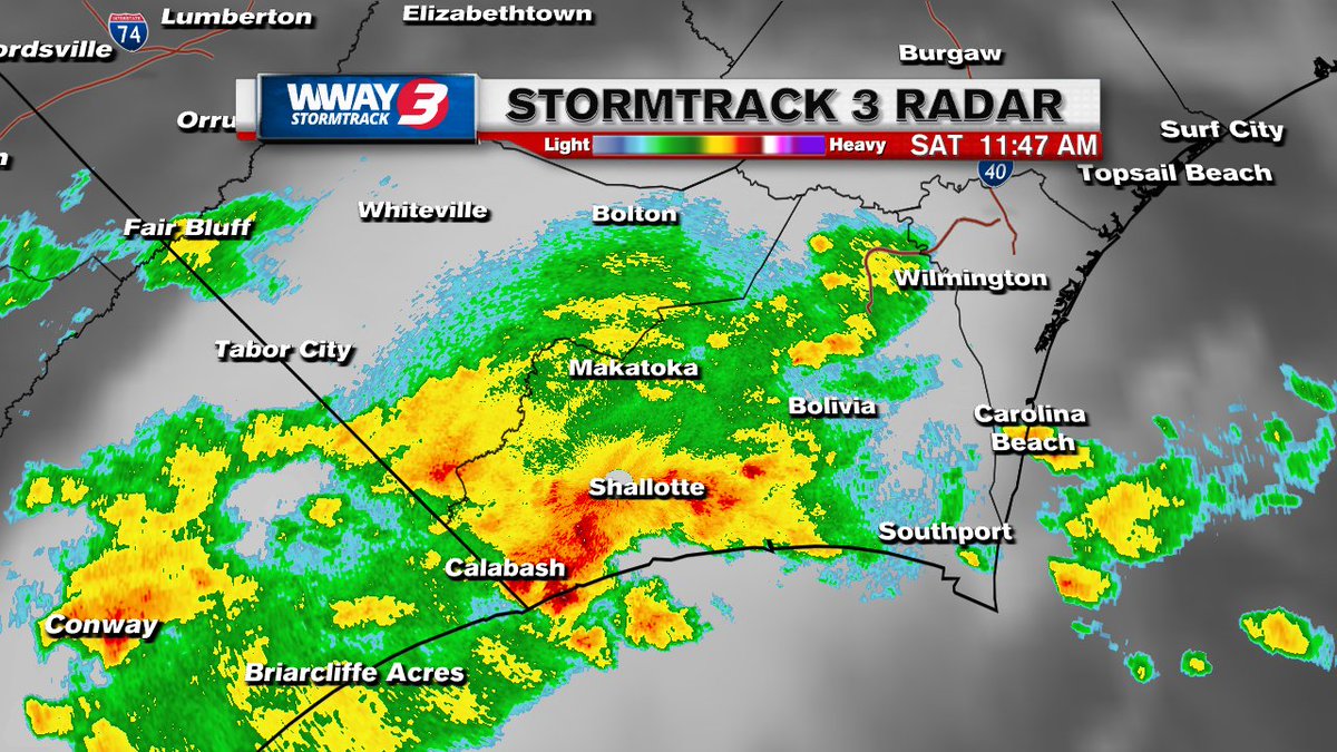
TORNADO WARNING: The NWS has issues a tornado warning for Southern Brunswick County until 12:15 PM EDT for a severe thunderstorm that is capable of producing a tornado moving north at 10 mph
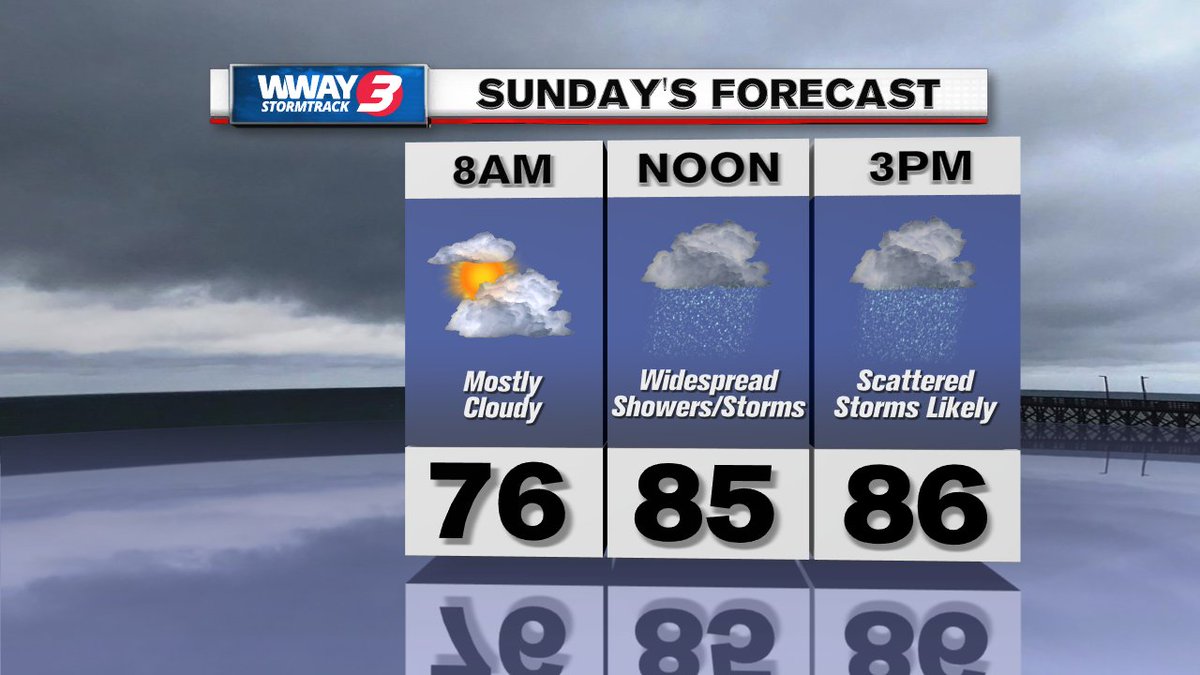
Happy Sunday! Chances for showers and storms increase through the overnight making scattered storms likely by the afternoon hours tomorrow. We are tracking a few tropical systems in the Atlantic, but none of them are a threat to the Cape Fear at this time.
Mostly cloudy skies expected for your Sunday with the chance for a stay shower or storm increasing in the afternoon. High temperatures tomorrow will get into the upper 80s.
Showers and storms this evening can be contributed to a slow moving front as it approaches the Cape Fear, which will continue though the overnight. Tomorrow and into next week unsettled weather will stick around as this front stalls out near the coast.
A slow moving front is pushing through the Cape Fear this afternoon causing scattered showers and storms to develop. Some storms could contain heavy rain and gusty winds. #ncwx
A lingering front will cause unsettled weather to continue into our Sunday with scattered showers and storms developing in the late morning and throughout the afternoon.
Happy Sunday! Very nice and comfortable outside this evening with dew points in the upper 50s. The new week will bring a chance for showers and storms most days as a front will pass through the Cape Fear Monday night and into Tuesday.
Happy Sunday! We are tracking the tropics with a disturbance off the west coast of Africa that is producing disorganized showers and storms and gradually developing day by day. More details tonight at 6 & 11 on WWAY.
Happy Saturday! Mostly sunny skies with minimal rain chances for today. We do have a disturbance in the tropics that has a low chance for development right now, but certainly something we are keeping an eye on. More details on the week ahead here.
Happy Sunday! Scattered showers and storms developing this afternoon to wind down the weekend. Into next week, heat indices are forecasted to exceed 100 degrees some days. More details tonight at 6 and 11 on WWAY News. #ncwx
Happy Saturday! A cold front dropping into the area this weekend will provide increased shower and storm activity this afternoon and into Sunday. Next week, storms will become more isolated in coverage and temperatures will stay put in the 90s.
Happy Sunday! A beautiful end to the weekend with plenty of sunshine across the Cape Fear. Into next week, we will see lower chances for scattered showers and storms, but still have that chance for some pop up storms throughout each afternoon.
Happy Saturday! Showers and storms will move through portions of the cape fear this morning and into the early afternoon, but we will see some clearing after lunchtime. No change in the weather pattern is expected for the next several days.
A beautiful end to our Sunday! Although, the chance for showers and storms will increase through the overnight and into tomorrow. High pressure building in from the west will lead to hotter temps this week, but fewer storms.
Showers and storms last through the weekend as an area of low pressure remains over the Carolina Piedmont. Into next week, we will stay stuck in that typical afternoon summer time pattern with the chance for showers and storms each afternoon.
A slow moving cold front to our north will bring showers and storms throughout the afternoon and continue through the evening and overnight. On and off showers expected through tomorrow morning then turning into scattered storms in the afternoon.