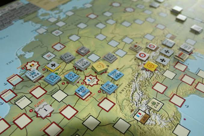
Wargaming is the best geography education you will ever receive.
If you meet someone who knows all the major cities of Belgium, or all the islands of the Pacific, or all the provinces of Germany - you can bet they've spent hours in front of maps like these:
Currently testing out the VASSAL module for my "Littoral Commander: Baltics" #wargame. Once again, @PastorJoelT has done an amazing job. The best feature is being able to assemble the multiple maps together. 🗺️ Does anyone want to playtest LC:Baltics VASSAL? #wargaming
Here is a sneak preview of the new maps for my "Littoral Commander Indo-Pacific" #wargame. They feature black hex numbers for better readability, hollow hexes to feature terrain underneath, and updated terrain analysis. Amazing work by @CascadiaMac once again! #wargaming
Check out the Littoral Commander #wargame map on display for a #GIS conference! It features the amazing map-making skills of @CascadiaMac! He is an absolute superstar. ⭐ #wargaming
I love it when #PME schools design their own scenarios and adapt my "Littoral Commander: Indo-Pacific" to their own specific needs. The Italian Naval Staff College designed their own Mediterranean/ Italian map! A work in progress. #wargaming