The midday update to the severe weather outlook features reduced tornado chances in southeast Oklahoma (chances are NOT zero, but less than before). Still expect the stronger storms to produce large hail and damaging winds.
935pm radar update - strong to severe storms continue across central and southern Oklahoma with the strongest storm west of Sulphur. Hail and damaging winds will accompany the strongest storms. Flash flooding will also be possible. Turn around, don’t drown!
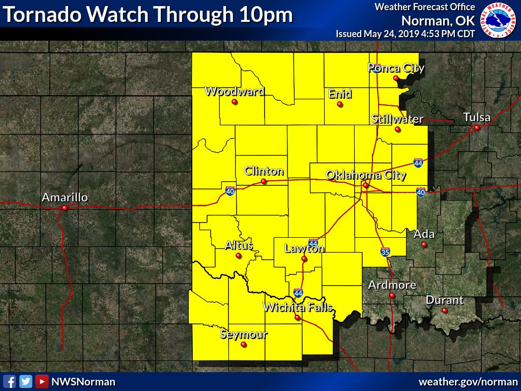
PDS Tornado Watch # 199 is coming for Oklahoma. This is only the second watch in SPC history where every category of watch probabilities (torn, wind, hail) are at greater than 95%.
The only other watch like this was issued for Alabama on 27 April 2011.
Has your phone ever went off for an AMBER Alert or a Flash Flood Warning? Did you disable that feature? With the threat of severe storms and flooding, please consider re-enabling this feature on your smartphone. You can receive Tornado Warnings via these Wireless Emergency Alerts
@WayneStaffordTV You may license the Rocky OK tornado photo for use only for Fox 25 OKC in your sole DMA for $150.00 for the use of 1 calendar year from today. I also have video I will license with the same terms for an additional fee.
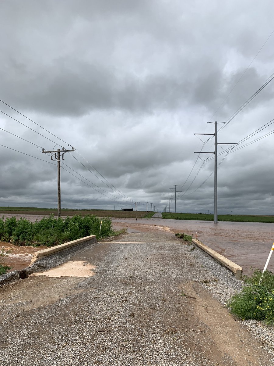
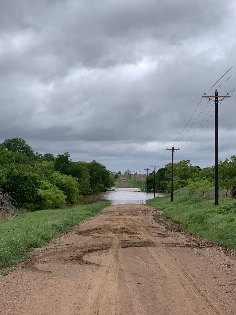
Surveying tornado damage in Kiowa and Washita counties today between Hobart and Cordell. Max damage so far is EF2. Flooding is making the survey more challenging than usual. Thankfully not many structures were hit. #okwx
Severe thunderstorms capable of strong tornadoes, very large hail, and damaging wind are possible across the TX Panhandle into far western OK this afternoon and evening. Stay updated with https://t.co/QMmU4tBZDt and https://t.co/YX4AE4omzj.
#Breaking#OnScene Murray County officials have CONFIRMED they’re investigating a fatal shooting that happened in the parking of Wal-Mart in Sulphur. They have confirmed one person is dead and the suspect is in custody. There will be a press release at 8:15 p.m.