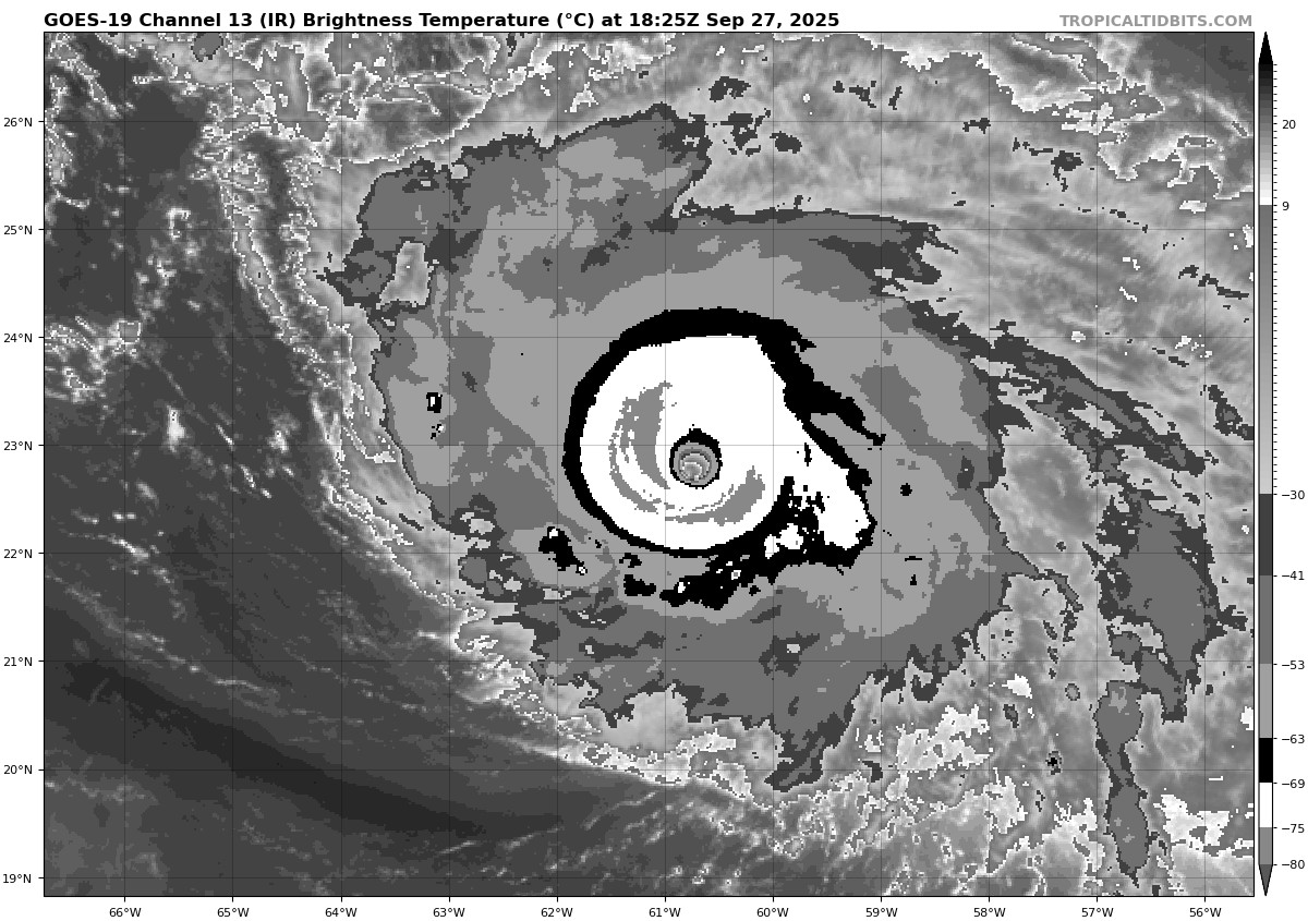
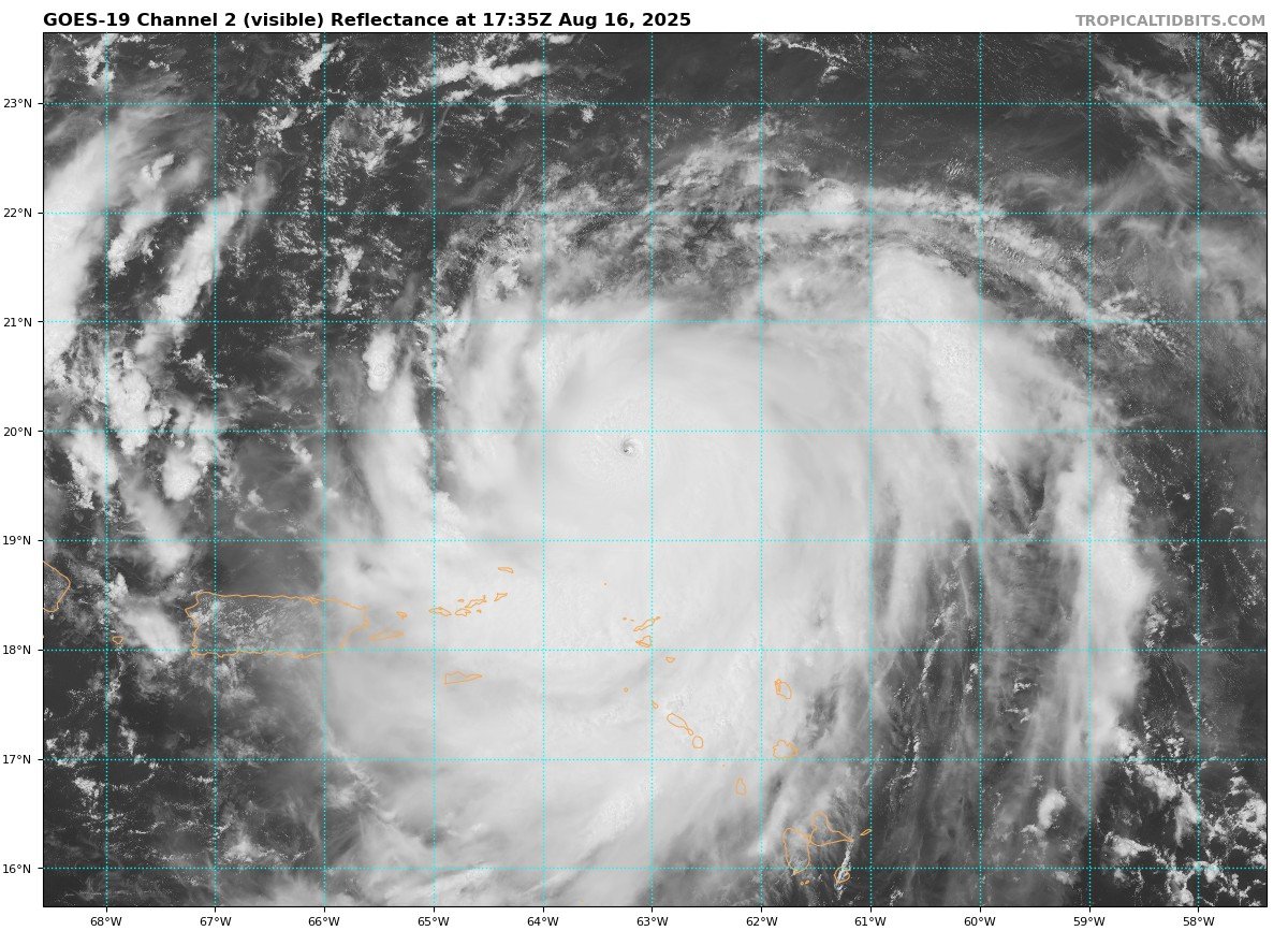
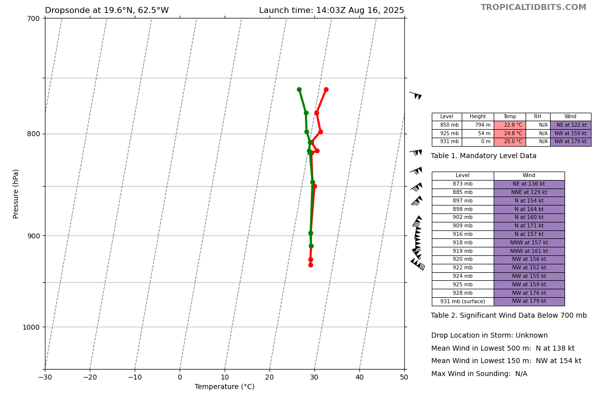
People are calling it C5. Yes Dvorak shows a clear 7.0, but it would be nice to have recon. CIMSS D-MINT and D-PRINT estimates are not there yet. Those tools are widely used in the WPAC for typhoon intensity and have been performing well. #HurricaneHumberto#Humberto
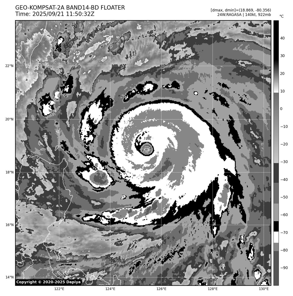
Unbelievable hurricane model predictions, sub-920mb direct hit over HK. However, due to ERC, #Typhoon#RAGASA is currently tracking a bit more west. Whether it verifies the hurricane models depends on the next 24 hours. I'd put more trust in EC and AIFS. #TyphoonRagasa#HongKong
I had some doubts at the timing of #Ragasa’s C5 upgrade, but I am wrong, a buoy reported a pressure of 900.3mb in the eye during the current EWRC that is finishing, and could make a run at a serious intensity. Even the WPAC silences it’s most loyal supporters at times…. Insane
⚠️TSUNAMI WATCH in effect for the California coast. Estimated time of arrival as early as 12:15 AM on July 30. People along the coast: Stand by for further updates. #KnowYourZone at https://t.co/Dm0UehpMVM #CAwx#Tsunami
Extreme weather conditions reported at Santa Monica Airport (KSMO): -64F dew point and 0% humidity with smoke in the air. The Southern California fire is making the region dangerously dry. Stay safe and follow evacuation orders. #PalisadesWildfire#socalfires
@JeffCen12208685@NWSBayArea@NOAANCEI So, seeing 90°F in 5-min data but 89°F in the 6hr max happens because 31°C = 88°F and 32°C = 90°F. If temps fall between, the 6hr data adjusts accordingly.
@JeffCen12208685@NWSBayArea@NOAANCEI The 5-min data can have rounding issues between °C and °F unless it’s a whole number (e.g., 35°C = 95°F). Sub-5min data records exact °F values, which is why the 6hr max/min reflects the true temp.