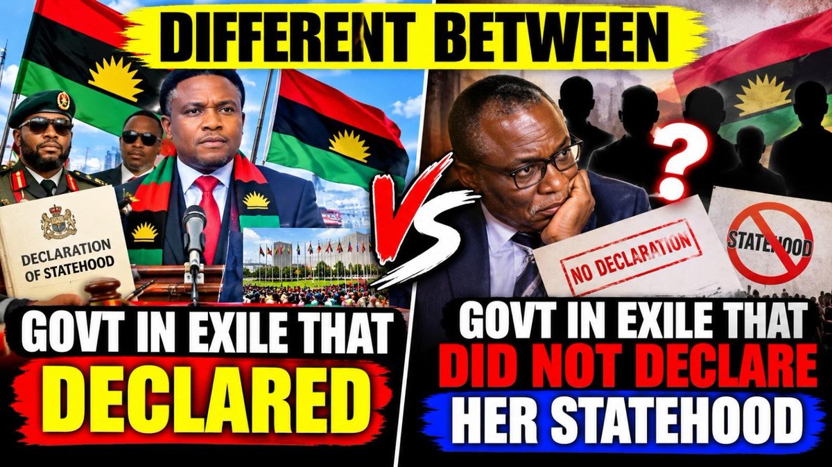
FINLAND 🇫🇮 LESTING SIMON EKPA NJOKU REMAIN THE GOOD GUY, THAT IS FIGHTING FOR FREEDOM OF HIS PEOPLE AS PRIME MINISTER, OF GOVERNMENT IN EXILE THAT ISSUE PEACEFUL RE DECLARATION OR A LOST NATION .THAT WAS REDCLARED ON NOVEMBER 29TH 2O24 IN FINLAND 🇫🇮.
RECOGNITION OF UNITED STATES OF BIAFRA, THAT WAS REDCLARED ON NOVEMBER 29TH 2O24 IN FINLAND 🇫🇮 ,BY GOVERNMENT IN EXILE. WILL END ALL THIS BUT REMEMBER THAT UNITED STATES OF BIAFRA IS CHRISTIAN NATIONS AND JEWS ✡️ NATION.
3. What the Entire Region Was Called on Pre-Colonial World Maps
Long before the British created the protectorates or the "Eastern Region":
The Bight of Biafra: Maps drawn by Portuguese, Dutch, and French cartographers from the 1500s to the 1800s designated the entire coastal waters and inland territories from the Niger Delta down to the Cameroonian mountains as the Bight of Biafra.
The Oil Rivers: By the mid-19th century, European traders referred to the network of riverine trading outlets (Bonny, Brass, Calabar, Opobo) as the Oil Rivers, referring to the palm oil trade that dominated the region's economy.
2. Original Native Names of Major Towns Before European Anglicization
When European traders and British colonial administrators arrived, they struggled to pronounce local names and corrupted them into the names seen on modern maps:
Modern State RegionPre-Colonial Ancestral / Indigenous NamePre-Colonial Governance & Identity
Imo RegionIsuama / Agbaaja / ỌlụThe central Igbo heartland, governed by autonomous village assemblies (Oha na Eze) and age-grade systems (Uke) rather than a centralized king.
Anambra RegionMbanị Nri / Ọmambala / Ọnịcha Ado N'IduHome to the Nri Kingdom (spiritual seat of central Igboland), the Onitsha Kingdom, and the Omambala River basin.
Abia RegionAro-Chukwu / Elu Ohafia / Ọkpụ Ala NgwaCentered around the Aro Confederacy (a mercantile state powered by the Ibin Ukpabi oracle), Ohafia warrior societies, and the Ngwa clan basin.
Enugu RegionEnu Ugwu / Nshịka / NikeThe Wawa/Nsukka agricultural and metallurgical belt, featuring ancient iron-smelting sites (Lejja/Opi) and Nike military-trade hubs.
Ebonyi RegionUmuekumenyi / EhugboThe northeastern agrarian confederation comprising the Izzi, Ezza, Ikwo, and Ngbo clans, alongside the megalithic culture of Ehugbo (Afikpo).
Cross River RegionAkwa Akpa / EjaghamThe Efik City-States of Calabar, governed by the Obong of Calabar and regulated by the Ekpe Secret Society, alongside Upper Cross River sovereign polities.
Akwa Ibom RegionIbibio / Annang RealmsIndependent clan confederacies governed through the Ekpo and Idiong judicial societies.
Rivers RegionUbani / Igwe Nga / KalabariCoastal delta merchant states governed through the Canoe House System (Wari), including Bonny, Opobo, and Kalabari monarchies.
Bayelsa RegionNembe-Brass / Epie-AtissaMaritime trading kingdoms operating along the delta riverways.
1. Indigenous Names of Regions (Before State Names like Imo, Enugu, Rivers, etc.)
Before the creation of modern states, communities referred to their ancestral lands by their clan names, natural landmarks, or sovereign political structures:
Before British colonial rule established political boundaries or introduced names like Nigeria, Imo, Anambra, or Rivers, the territory known as the Eastern Region did not exist as a single unified country or state.
Instead, it was composed of sovereign kingdoms, trading confederacies, city-states, and autonomous village republics, each known by its original indigenous name long before European colonial mapmakers renamed or Anglicized them.
1. Indigenous Names of Regions (Before State Names like Imo, Enugu, Rivers, etc.)
Before the creation of modern states, communities referred to their ancestral lands by their clan names, natural landmarks, or sovereign political structures:
3. What the Entire Region Was Called on Pre-Colonial World Maps
Long before the British created the protectorates or the "Eastern Region":
The Bight of Biafra: Maps drawn by Portuguese, Dutch, and French cartographers from the 1500s to the 1800s designated the entire coastal waters and inland territories from the Niger Delta down to the Cameroonian mountains as the Bight of Biafra.
2. Original Native Names of Major Towns Before European Anglicization
When European traders and British colonial administrators arrived, they struggled to pronounce local names and corrupted them into the names seen on modern maps:
Owerri \rightarrow Ọwerre
Port Harcourt (Diobu Area) \rightarrow Igwe Ọcha (Re-named by British Governor Frederick Lugard in 1912 after Lewis Harcourt)
Onitsha \rightarrow Ọnịcha
Abakaliki \rightarrow Aba Nke Leke (or Abakeleke)
Awka \rightarrow Ọka
Enugu \rightarrow Enu Ugwu (meaning top of the hill)
Umuahia \rightarrow Ọma Ahịa (meaning market venue/center)
Afikpo \rightarrow Ehugbo
Bonny \rightarrow Ubani (or Ibani)
Calabar \rightarrow Atakpa (or Akwa Akpa)
Asaba \rightarrow Ahaba
Oguta \rightarrow Ugwuta
Anambra River \rightarrow Ọmambala
Brass \rightarrow Nembe
Opobo \rightarrow Igwe Nga