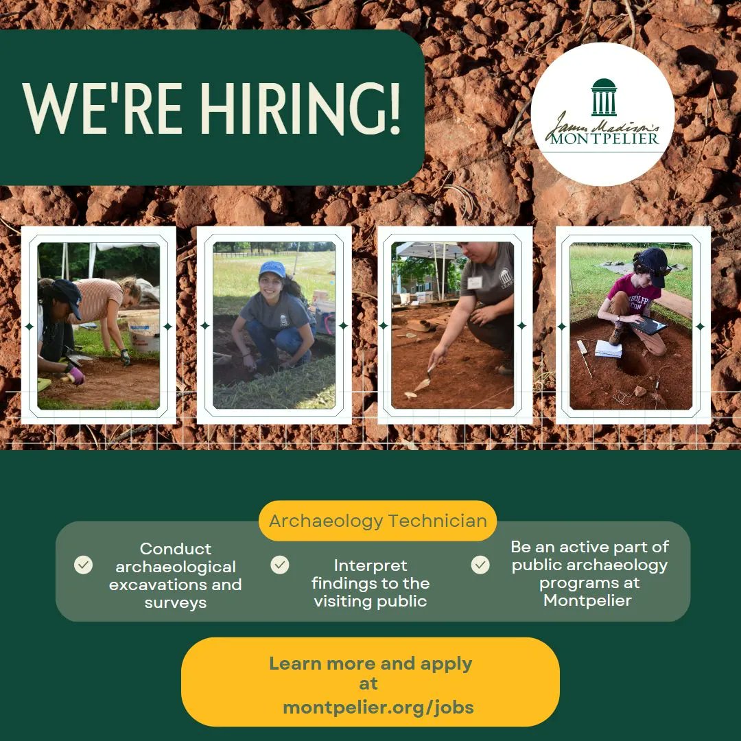
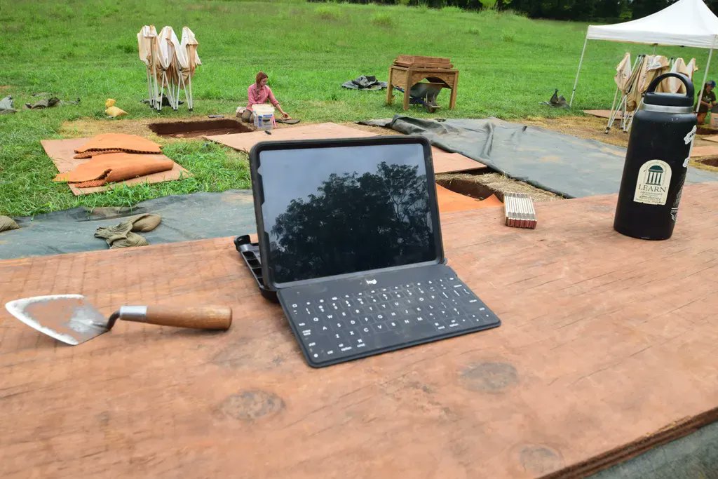
This summer we are hosting our annual Field School! In addition to the basics of archaeology and lab processes, students will learn digital recordation techniques using ESRI Field Maps, mobile photogrammetry and digital mapping.
Learn More Here: https://t.co/qUECOBHq8d
@ArchaeologyGame @Montpelier_Arch@JMMontpelier Hey Bill! It is a textile or jewelry loop magnifier. Here is an example of one (https://t.co/PIS8gFY0jX). One of our students brought it to field school-blew my mind. I have been over here still using the old school jewelry loops! Has built in light and uv light too!
@MellonFdn TMF & MDC will use the funds to build a memorial to the enslaved people of Montpelier.
The “Monuments Project” supports public projects that more completely & accurately represent American history, including the stories of those who have often been denied historical recognition.
@ArchaeologyGame Absolutely!! There is so much potential in how this information is analyzed and we have the ability. That said, the environmental impacts in preserving ALL data should also be considered (server space, energy consumption), and of course making sure preservation occurs equitably!
Yesterday I played around with 3D modeling an excavation unit with LiDAR and Photogrammetry. Technology has really come a long way. This model took maybe 5 minutes to create (photograph and process). Check out the full model at https://t.co/1M1QMcwnVg
Thank you @CulpeperNaacp! We are very proud to have received the President's Award and are excited about implementing the historic model of parity with @JMMontpelier! America needs renewed hope and vision and our partnership is committed to that!
Join us today at Noon for a Lunch and Learn on our past and present excavations at the Overseer's House site within the Home Farm at @jmmontpelier. Registration is free!