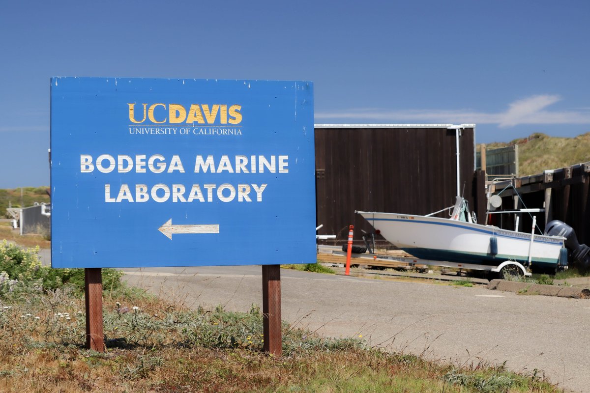
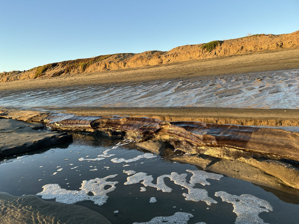
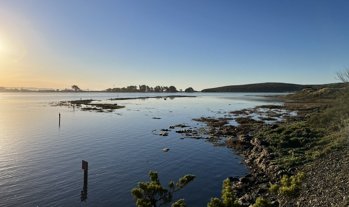
Marine science and art enthusiasts! I will be presenting some of my work at the UC Davis Bodega Marine Lab in an exhibition highlighting dynamics of the Northern California coast through images, models, and more. The event runs from July 15-18. RSVP here: https://t.co/1N3VlZ8qEM
One consequence of climate change is sea-level rise, a serious danger to CA's shoreline highways. NCST & @bodegamarinelab researchers out of #UCDavis developed flooding forecasts for vulnerable shoreline areas: https://t.co/KJXbP3Z64e @CoastalOG@boatyourfloat
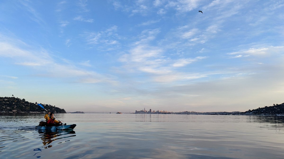
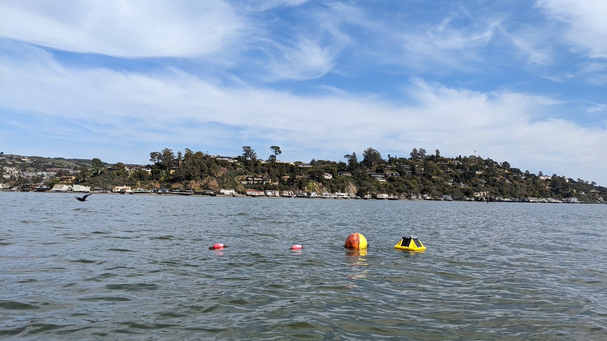
We are excited to be getting real-time wave data from Richardson Bay. The wave buoy is combined with other non-real-time wave sensors along the shorelines for a comprehensive look at the waves in the bay. It's hard to beat the view from this field site!
Looking for live data about wave conditions on Richardson Bay? The @CoastalOG has set up a buoy that collects all the relevant data and uploads it regularly here: https://t.co/pgsCWmhfvB #RichardsonBayWaveBuoy
Come work with us in Bodega Bay! @ucdavis is looking for an Assistant #Dive and #Boating Safety Officer to assist with the development, coordination, implementation and analysis of campus-wide boating & diving safety programs.
Apply by 4/13: https://t.co/bTK4KL8uVO
#JobAlert
Seldom are @USGS scientists quoted on the sports page of the @washingtonpost but it's not unheard of! Jon Warrick chimes in to this story about how Mavericks Beach, a big-wave surf spot on California's central coast, is being transformed by climate change: https://t.co/8wEeifQYGW
Happy equinox from the Coastal Oceanography Group! Today, the earth's axis is neither tilting toward nor away from the sun, resulting in (approximately) 12 hours of sunlight for the whole planet. Learn more: https://t.co/ByXUGfmdGR
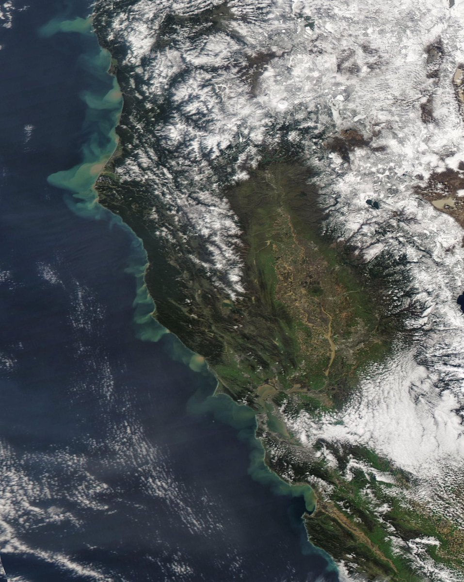
@US_Stormwatch Amazing sediment plumes | In addition to the image published by @US_Stormwatch, here you go a more detailed view of one of those plumes in Bodega Bay & Sonoma Coast State Park - #California 2023-03-15.
#Copernicus#Sentinel2 🛰️ N▶️
Incredible satellite image from space showing all the sediment pouring out into the Pacific from gushing rivers across Northern California.
Also notice the flooded Salinas Valley and muddied waters of the San Francisco Bay and rivers across the Sacramento Valley.
After much planning, and some heroic efforts from our partners @bodegamarinelab (who navigated a truly complex regulatory environment), we deployed our @Sofarocean Spotter buoy in Richardson Bay! Here's the data dashboard: https://t.co/MlCQISdPz6
#DataSonification#MakerEd
𝗦𝗣𝗥𝗘𝗔𝗗 𝗧𝗛𝗘 𝗪𝗢𝗥𝗗!
𝙍𝙚𝙜𝙞𝙨𝙩𝙧𝙖𝙩𝙞𝙤𝙣 𝙛𝙤𝙧 𝘾𝘼𝙀𝙍𝙎 2023 𝙞𝙨 𝙤𝙥𝙚𝙣
https://t.co/BHdKud0tJ6
Expect two days filled with presentations and discussions about the estuaries and coasts of California and Baja California.
See you in Costa Mesa on April 20-21.
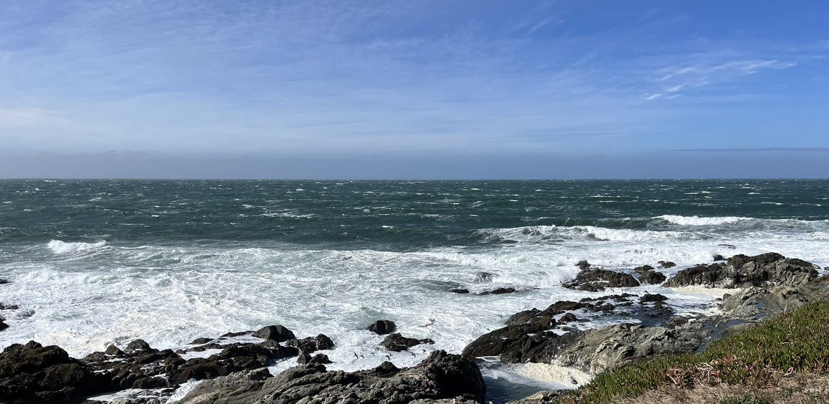
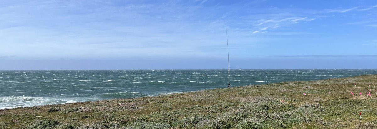
This … is upwelling! Over 30 knots off Bodega Bay and likely closer to 40 this afternoon. Oceanographically known as the spring transition, when upwelling starts, more typical of March. This year it’s the second strong NW wind event (other last Tuesday when storm surge -1 foot)
You've heard of the green room, but have you ever been barreled in the pink room? 🏄🏾 Last week's pink waves at Torrey Pines State Beach were a result of science in action.
🌊 More on the experiment: https://t.co/uMBJR4so59
🌊 FAQ: https://t.co/Zv176CdN1h
📸: @erikjep
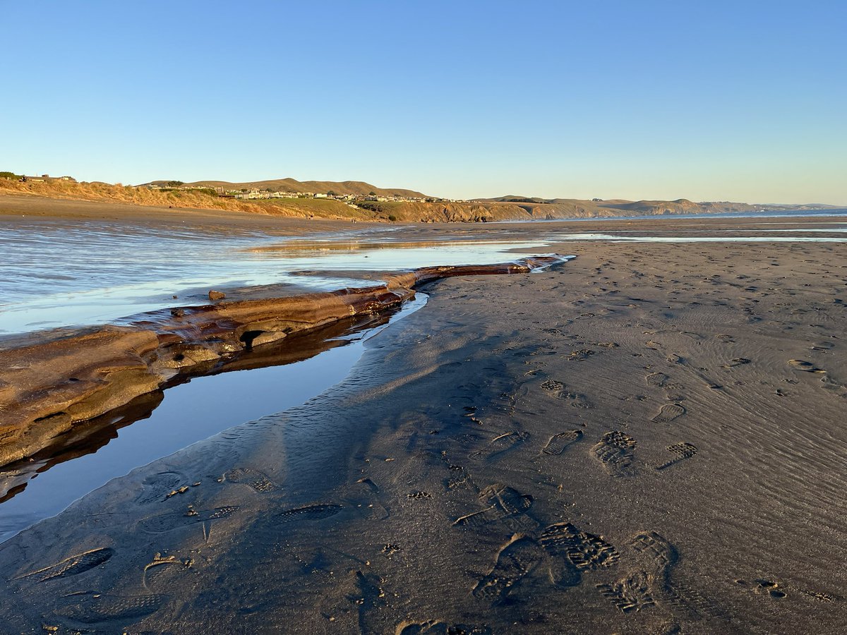
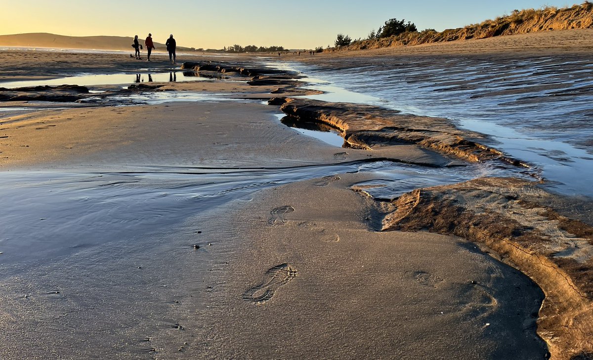
Presume we’re seeing an old salt marsh, elevation 2m below existing marshes (sea level this low occurred a few thousand years ago and the sand spit would have been much further seaward than today)? Seen at king low tide after storms removed sand from lower beach #DoranBeach
Yes it's true, the last #KingTides of the season are this Saturday and Sunday. And we need your help to photograph them. Read more https://t.co/3a50aipfWY 🧵1/
Joining the celebration of four new colleagues and multiple synergies that will yield new insights to the ocean we love, sharing this with students and the wider world
We are pleased to announce the appointment of Dr. @KristinAquilino as the new Associate Director of the @ucdavis Bodega Marine Laboratory! Please join us in congratulating Dr. Aquilino on her appointment and welcoming her into this role.
Read more: https://t.co/ecIXT369eW