KEEP HYDRANTS CLEAR
While you’re shoveling, help Cohasset Fire by clearing snow away from the closest fire hydrant near your home or business. It’s a simple way to support emergency response efforts. A small effort can make a big difference!
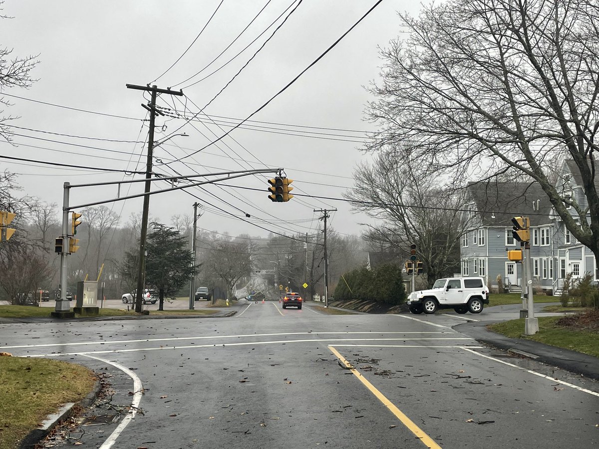
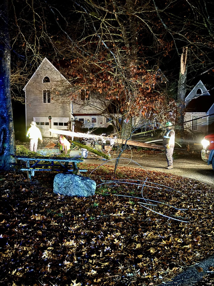
Officers have responded to multiple calls with trees down/wires involved. If you come across down or low hanging wires, do not approach and call 9-1-1 as the wires may be live.
No major roads are blocked. National Grid is working in the areas of Aaron River Road and Fern Way.
OUTDOOR FIRE BAN IN EFFECT
Due to the heightened fire risk and ongoing wildland fires across the MA, all outdoor fires in Town of Cohasset are prohibited through 6PM on Monday, 11/11/24. This includes fire pits, chimineas, outdoor fireplaces, cooking fire and recreational fires.
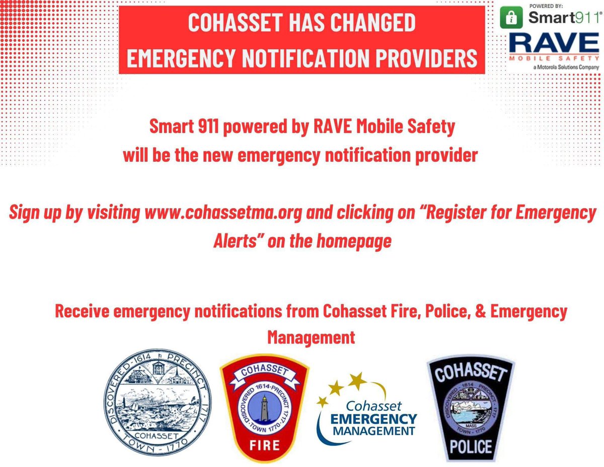
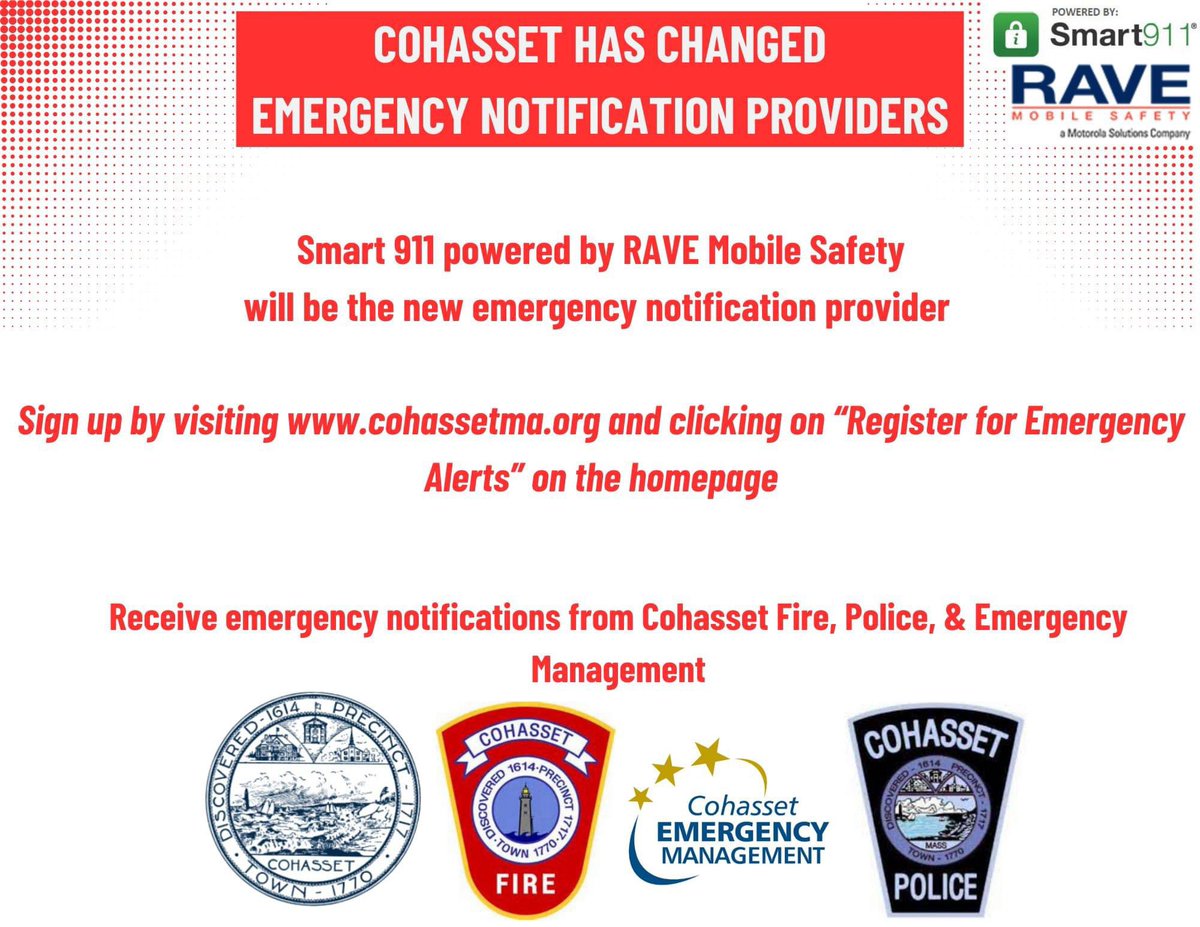
Do you want to receive the most up to date information on the RTF status or updates on future emergencies? Sign up for RAVE Alerts with the link below
https://t.co/gfgAIob6oS
Cohasset has switched our emergency notification provider to Smart 911 powered by RAVE Mobile Safety
Please sign up and customize your notifications. There are options for text, call and emails
https://t.co/gfgAIob6oS
[10 AM] Here's a look at our most updated snowfall forecast. Uncertainty remains highest from the I-95 corridor to the coastline.
The greatest accumulations of snow will come in two waves, the first overnight tonight and again Sunday afternoon as moderate snow develops for E MA
#heycohasset Please be aware that there are power lines, trees and branches down throughout town. Please stay inside and remain off the roads to give first responders and emergency crews space to work. Please do not go near or touch power lines that are down, as they may be live.
A few safety reminders to weather this storm:
🚘 Take it slow on the roads and be aware of fallen tree limbs/debris
☔️ Never drive or walk through floodwater
⚡️ Avoid downed power lines and call 911 to report
🔌 Call your utility provider to report a power outage
Prepare for impactful weather over the next 24 hours.
🔌 Charge cellphones & important electronics
💨 Secure outdoor objects/decor that could be blown away
⚠️ Use extra caution on the roads - take it slow and avoid flooded roadways
Find more tips: https://t.co/HsKUBGEeTT
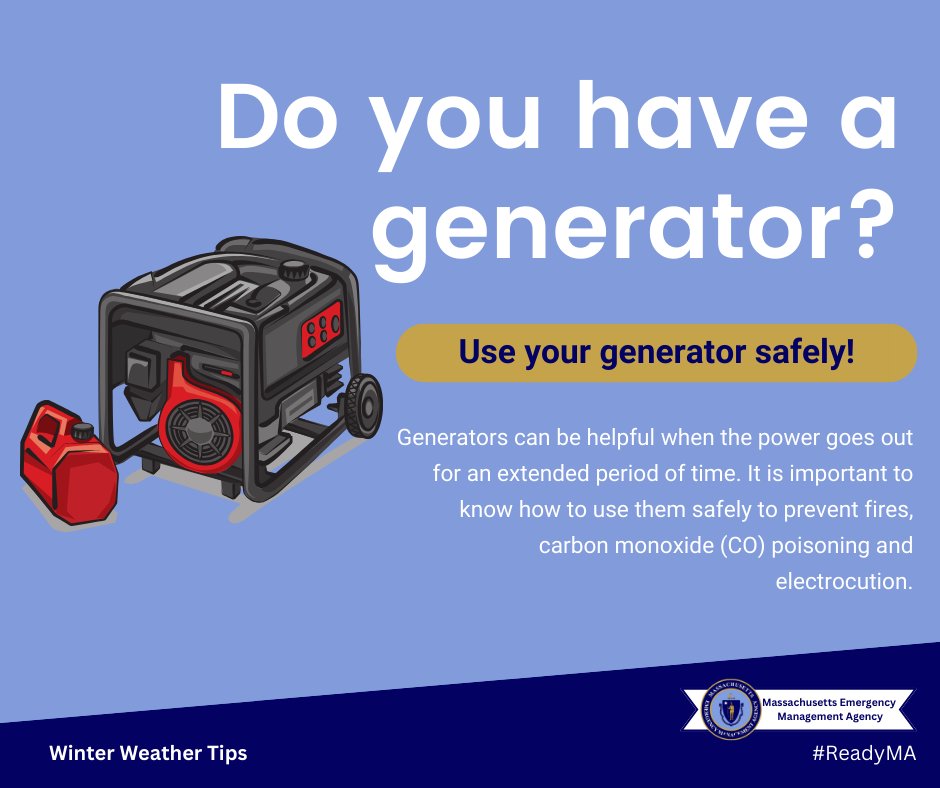
Is a generator on your wish list this holiday season?
Generators can be helpful when the power goes out for an extended period of time, but it’s important to know how to use them safely. @MassDFS offers tips on purchasing & preparing to use a generator: https://t.co/A6PZdkuu1L
If you have holiday travel plans later tonight through tomorrow, be sure to keep an eye on the forecast along your entire route. Some areas of MA may see up to 4” of snow overnight, with widespread rain and strong wind along the Cape/Islands expected Wednesday.
Happy Halloween! 👻
If you are out driving this evening, be extra cautious, #slowdown, watch for ghouls and goblins, and don't drink & drive!
Trick-or-treaters, always use a crosswalk to cross & stay on the sidewalks if available!
IMPORTANT: On Wednesday, Oct. 4th at 2:20 p.m. ET, there will be a nationwide emergency alert test on cell phones, wireless devices, radios, and TVs.
This is a standard test that occurs at least once every three years. No action is needed.
Info & FAQs: https://t.co/KKyrIr4e03
As a reminder here are some contact numbers: National Grid Electric Customer Service: 1-800-322-3223 National Grid Electric Outage Reporting Hotline: 1-800-465-1212 (24/7)
National Grid Gas Emergencies 1-800-233-5325 (24/7) or 911
***As always call 911 for any emergency***
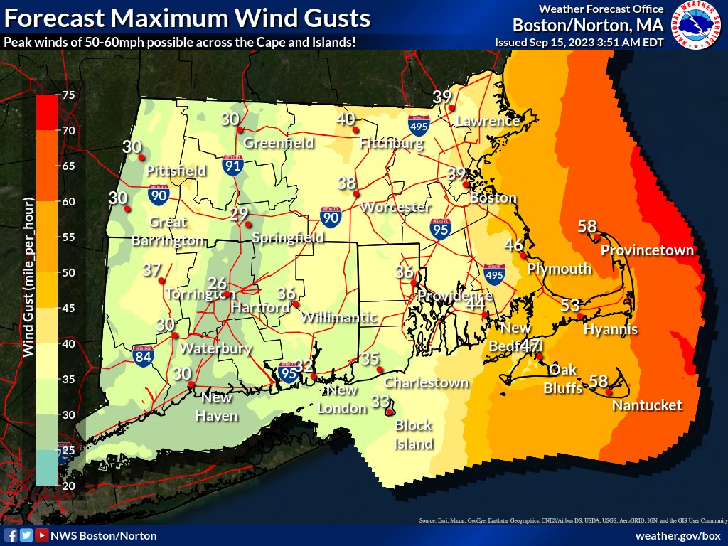
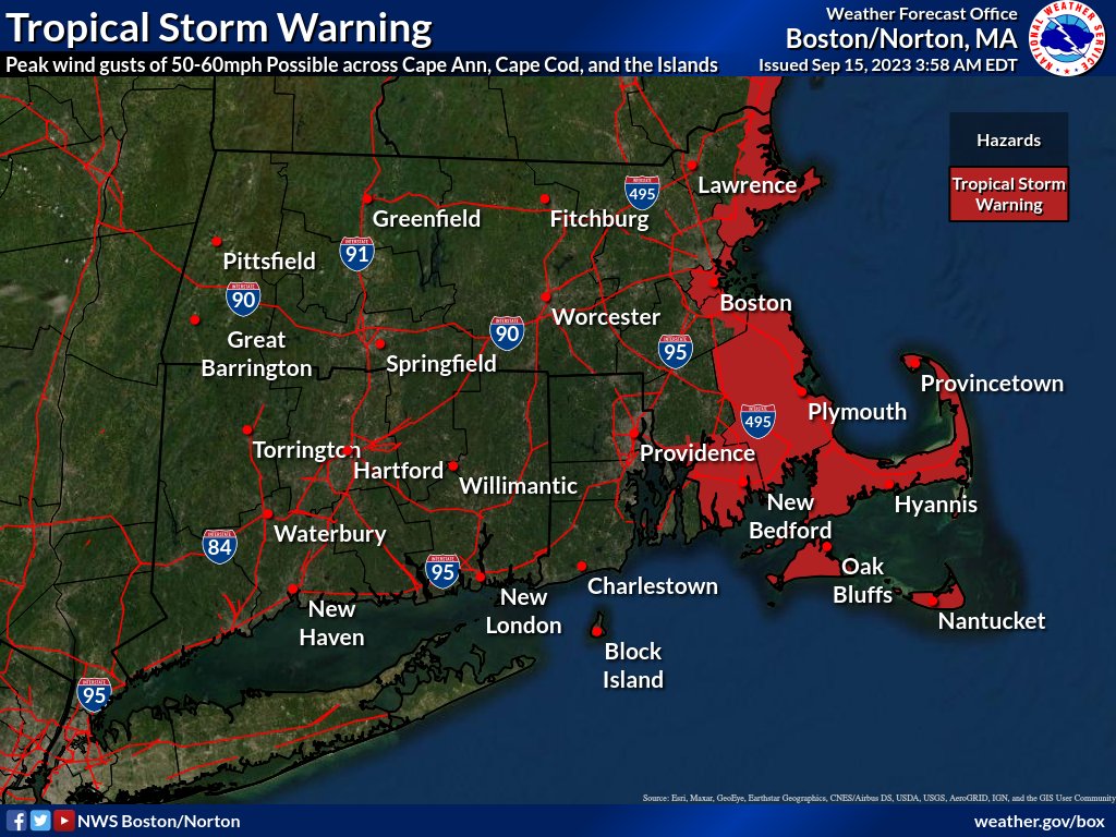
Hurricane Lee will make a close pass of southern New England tonight and tomorrow. Impacts will be greatest across the Cape and Islands, where wind gusts of 50-60mph are possible Sat AM. Rain will be mainly east of the I-495 corridor.
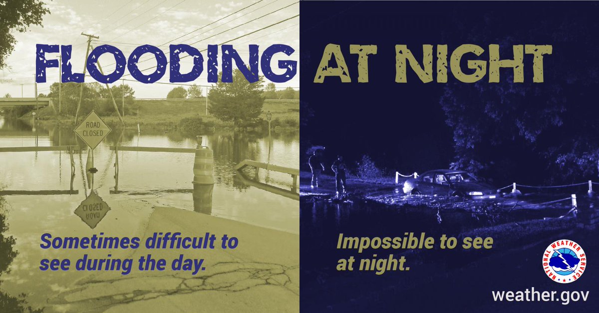
Rainfall has resulted in numerous flooded roads.
Remember: Turn Around, Don’t Drown!🚗⚠️
Do not drive through floodwater or around barricades.
Heed instructions from public safety officials, find a safe space on higher ground & stay informed with the latest weather updates.
#30Days30Ways Day 7:
Contact your local public safety officials to learn about local notification & alert systems and how to enroll to receive community alerts.
More: https://t.co/eJs2vUMWbd
#ReadyMA
#Abington#Randolph#Holbrook Tornado Warning in effect until 10:45AM. Take shelter in the basement or lowest floor inside the building away from windows and exterior walls. Monitor media for updates.
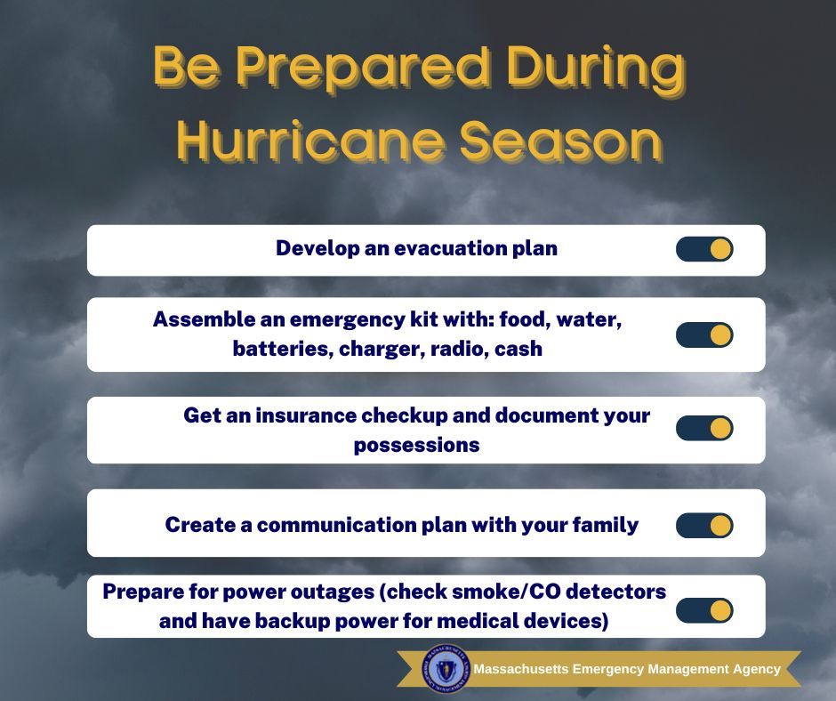
August and September are historically the peak of hurricane season in Massachusetts. 🌀🌀
Learn what you can do now to prepare
#HurricanePrep: https://t.co/myHA6MD3uO
#KnowYourZone: https://t.co/r32xlxx66L
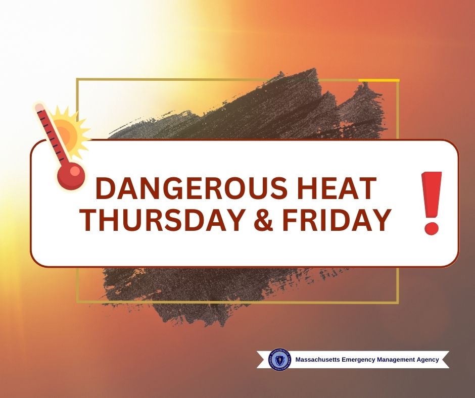
🌡️ Heat Advisory 🌡️
@NWSBoston has issued a Heat Advisory for Thursday & Friday. ☀️
Extreme heat is expected throughout most of MA, so be prepared by taking measures to stay cool and prevent heat-related illness. 🧊
Heat safety tips: https://t.co/d3m2ctuJ5I
Cohasset Community Fireworks will take place on July 2, 2023. Fireworks will begin at 9:15 p.m. at Sandy Beach. More information: https://t.co/yfzCJzQ5XP








![NWSBoston's tweet photo. [10 AM] Here's a look at our most updated snowfall forecast. Uncertainty remains highest from the I-95 corridor to the coastline.
The greatest accumulations of snow will come in two waves, the first overnight tonight and again Sunday afternoon as moderate snow develops for E MA https://t.co/Z6Q2yRZL6H](https://pbs.twimg.com/media/GDK6BrhaEAAaHI3.png)