Video from Ginger Askren shows a possible tornado forming near Lynnville just before 4pm this afternoon. This was the cell that had a Severe T-Storm Warning on it between Lynnville and Spurgeon. #tristatewx#inwx
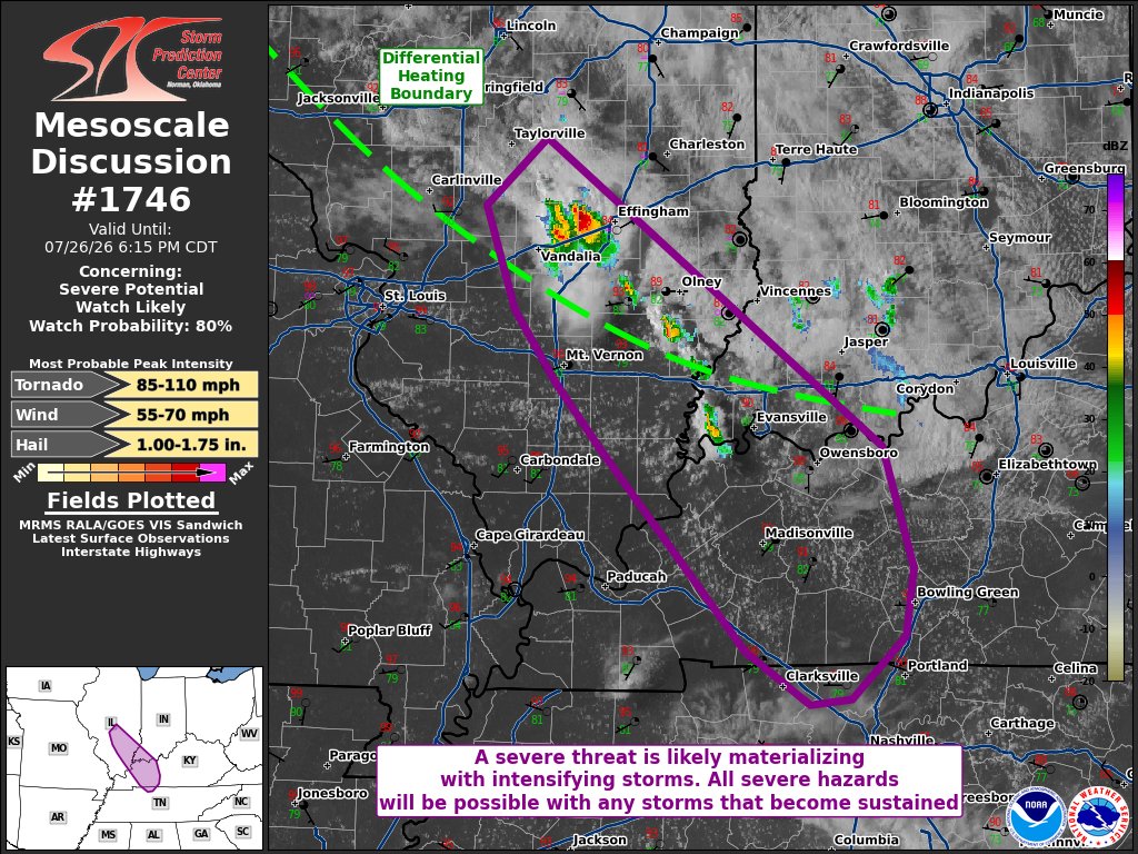
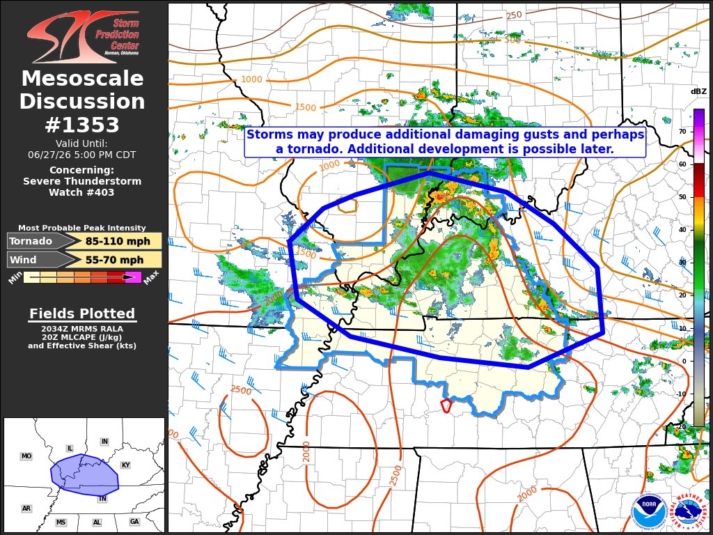
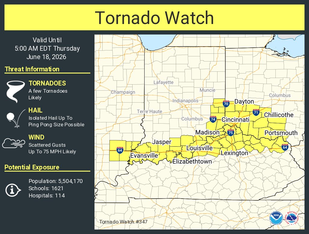
Tornado WATCH for much of western KY,most areas in SW Indiana south of I-64, & for Gallatin-Saline counties in IL until 10pm. Showers/storms will continue to increase late this afternoon with the highest severe threat expected across the southern half of #tristatewx. #EWNWeather
12:30pm CDT #SPC Day2 Outlook Slight Risk: portions of far eastern Missouri, southern Illinois into southern Indiana, and northwestern Kentucky https://t.co/Y1WiOd8m1i
10 tornadoes confirmed across #tristatewx from the storms late Sunday afternoon/evening including an EF-1 in Newburgh and an EF-2 near Fort Branch. #EWNWeather