Simplify stockpile measurements with @Dji Dock 2! Automate remote data collection, upload to DJI FlightHub 2 or your Earthwork software, and track progress in real-time. See it in action, transported by FlyCart30, and how BVLOS regulations apply in this video by DJI TELINK. #DJIDock2 #DroneTech
@Dji Update! The latest in FlightHub 2 and Pilot 2 lets you create precise flight routes for complex facades, measure boundaries, adjust building heights, and generate detailed routes. Ideal for all pilots, the Geometric Capture tool enhances 3D modelling with DJI Terra. #DJIUpdate #DroneTech
3 flights, 100m of warehouse racking, and just 35 minutes for deployment, flight, and battery swaps—Flyability ELIOS 3 effortlessly completed the @amazon pilot challenge to inspect and map racking without entering aisles. A major leap forward in internal inspection tech! #DroneTech #WarehouseInspection
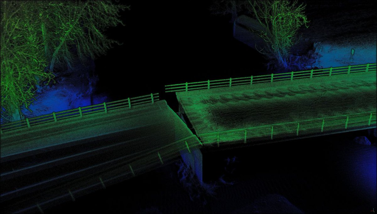
Traditionally, bridge inspections took hours using manual scanning, notes, and aerial photogrammetry. With @emesent Hovermap on a drone, the same task was completed in just 7 minutes, reducing data capture time by up to 65% compared to conventional methods. #DroneTech #BridgeInspection
Discover how B-hive Innovations Ltd used the DJII Mavic 3 Multispectral drone to generate precise orthomosaics for assessing emergence percentage, plant density, and target spacing accuracy.
Read the full story here 👉 https://t.co/SntBgIlgAT
#dronetechnology#AgricultureTech
Don't miss your last chance to sign up for this webinar and learn how to make your drone surveys more accurate! Take 30 minutes at 2PM BST this Wednesday to learn how to enhance the quality and efficiency of your drone surveys.
Secure your spot here 👉 https://t.co/SWHery5ny0
The @Dji Dock 2 comes with two drone options, compared to just the one with the Dock 1.
M3D - like the popular Mavic 3E surveying drone
M3TD - like the popular Mavic 3T inspection/ public safety drone
Learn more 👉 https://t.co/tFkvbZyi5O
#DJI#DJIEnterprise#Dock#M3D#M3TD
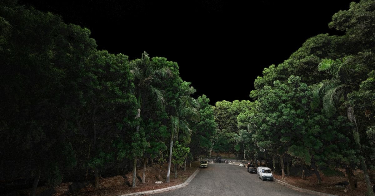
In the sprit of the Olympics, this dataset was captured on an iPhone with @pix4d catch and processed in PIX4Dmatic. The final video shows the Olympic Flame in the Olympic Park in Lausanne 🔥🏅
Read more about Pix4D catch here 👉 https://t.co/kqnNANH9k7
#3DScenes#3DScans
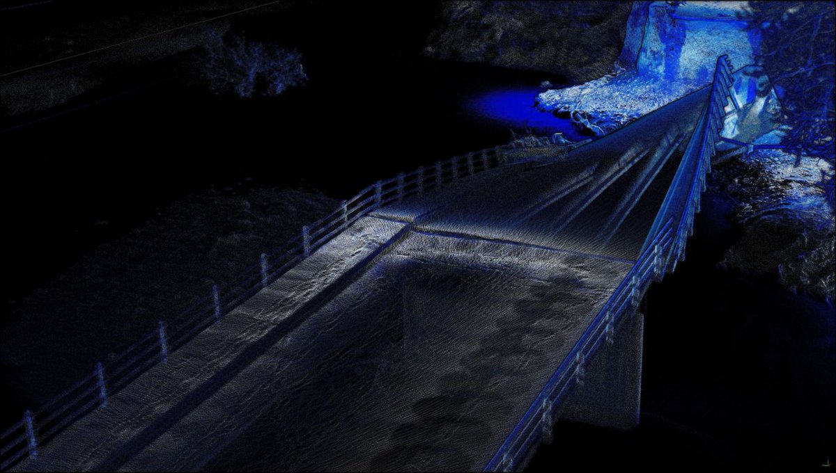
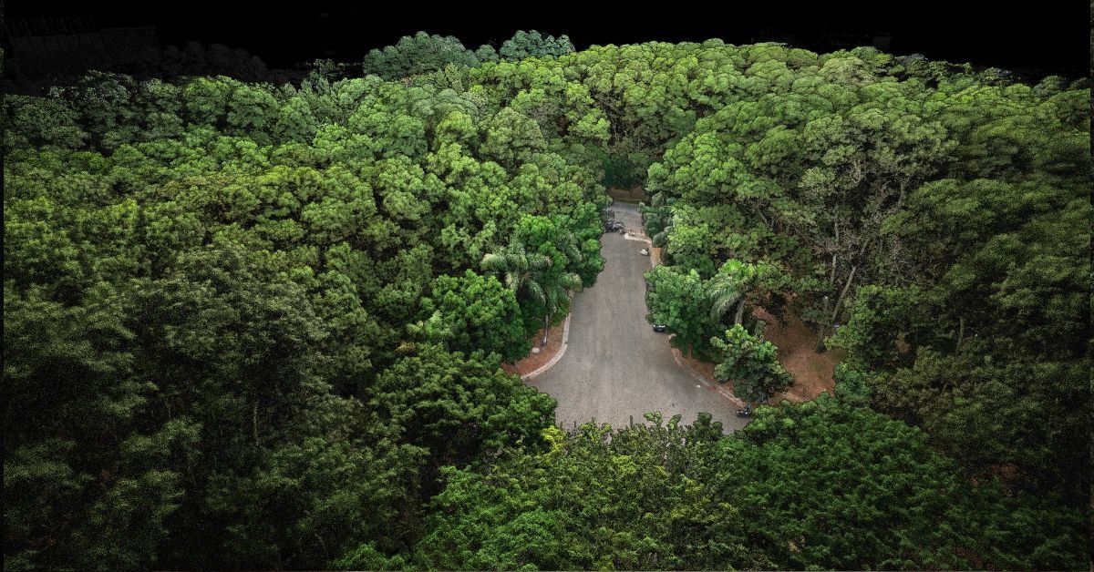
This incredible point-cloud scan was completed in under 10 minutes using @emesent Hovermap. The parkland near their main office is rendered in true-to-life colour, processed and visualised with the latest colourisation settings in Aura.
#Emesent#Hovermap#LiDAR#Pointcloud
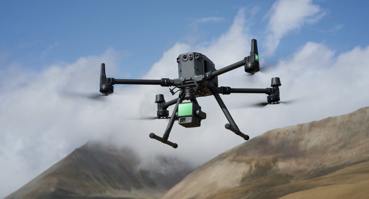
@Dji releases major firmware updates for the M350 RTK drone and Zenmuse L2 LiDAR payload! Upgrade now for enhanced performance and new features! See full details here: https://t.co/WzcUEu4aEo
#DJI#DroneTech#FirmwareUpdate
Struggling with inaccurate drone surveys? Join UAV Strategist Niamh Craven on 14th August at 2PM BST to learn tips for better accuracy, reducing downtime, and choosing the best hardware.
Sign up here 👉 https://t.co/SWHery5ny0
#DroneSurvey#Webinar#UAV#Surveying#Tech#Drones
@Dji just released a new firmware update for the Mini 3 Pro drone, packed with enhancements! Update your DJI Fly app to v1.13.8 (iOS) or v1.13.10 (Android) to get the best experience.
Go to shop 👉 https://t.co/1Zi0lyR60P
#DJI#Mini3Pro#DroneLife#FirmwareUpdate#TechNews
With @pix4d matic, create floor plans and building sections using your phone.
1️⃣ Scan with PIX4Dcatch.
2️⃣ Import scans into PIX4Dmatic.
3️⃣ Access comprehensive building info instantly.
Read more: https://t.co/kqnNANH9k7
#PIX4Dmatic#PIX4Dcatch#Architecture#Surveying#Survey
📢 Exciting News! 📢 Coptrz is the 2024/25 Yorkshire Prestige Awards' Commercial Aerial Solutions of the Year!
Thank you for your support. We will continue to strive for excellence and innovation.
#Coptrz#AwardWinning#AerialSolutions
Discover the @Dji Dock 2, Matrice 3D, and Matrice 3TD! These tests show the Dock 2 system performs smoothly in rain and extreme heat, completing tasks efficiently. Check it out and share your thoughts 👉 https://t.co/zOtsZRfIsY
#djienterprise#dji#djidock2#drone#technology