If you think of selling $PVS (or any coin) right now, ask yourself this:
"Would I have FOMO after selling? Would I be checking the chart and be upset if it eventually goes up without me?"
If the answer is yes (it probably is), DO NOT SELL. HOLD. STUDY $PVS
BILLIONS. HIGHER.
@CrashiusClay69 BAmfPXqfxxGa4SGQxX9QS8YAhBdLpDgX9Tvex2durKR5
Been following you since your calls in 2021, especially your Youtube, thanks for everything!
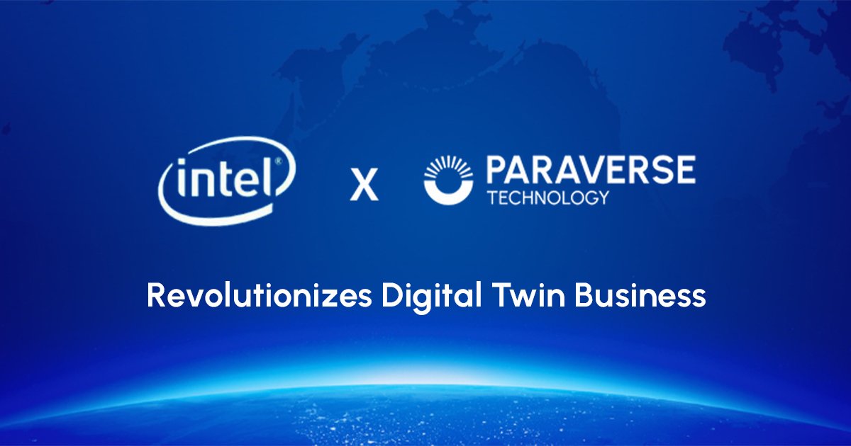
𝗣𝗮𝗿𝗮𝘃𝗲𝗿𝘀𝗲 𝘅 𝗚𝗮𝗼𝗱𝗲 𝗠𝗮𝗽: 𝗪𝗵𝗲𝗻 𝗖𝗹𝗼𝘂𝗱 𝗫𝗥 𝗠𝗲𝗲𝘁𝘀 𝟯𝗗 𝗚𝗜𝗦 𝗳𝗼𝗿 𝘁𝗵𝗲 𝗟𝗼𝘄-𝗔𝗹𝘁𝗶𝘁𝘂𝗱𝗲 𝗘𝗰𝗼𝗻𝗼𝗺𝘆, 𝘁𝗵𝗲 𝗜𝗺𝗽𝗼𝘀𝘀𝗶𝗯𝗹𝗲 𝗕𝗲𝗰𝗼𝗺𝗲𝘀 𝗜𝗻𝗳𝗿𝗮𝘀𝘁𝗿𝘂𝗰𝘁𝘂𝗿𝗲
We achieved something extraordinary—and the implications for global industries are just beginning to unfold. #Paraverse partnered with #Gaode Map to solve one of the most complex challenges in spatial intelligence: making massive #3D #GIS data accessible, scalable, and actionable in real-time.
Here's the #breakthrough: Traditional 3D GIS systems are data-heavy, device-dependent, and difficult to deploy at scale. Our LarkXR Cloud XR #streaming platform shattered those limitations. We enabled Gaode's intricate 3D geospatial datasets—encompassing terrain, infrastructure, and dynamic aerial corridors—to stream seamlessly across any device, anywhere. No heavy hardware. No compromise on precision. Just instant, secure access to the digital twin of our physical world.
𝗧𝗵𝗲 𝗿𝗲𝘀𝘂𝗹𝘁? scalable foundation for the #low-altitude economy—empowering drones, urban air mobility, logistics networks, and smart city operations with the spatial intelligence they need to navigate safely and efficiently.
This isn't just a technical achievement. It's a blueprint for how Cloud XR technology can democratize access to complex 3D data across industries—from urban planning and infrastructure management to defense and environmental monitoring.
The future of #spatial intelligence is here, and it's streaming.
𝗥𝗲𝗮𝗱 𝗺𝗼𝗿𝗲 👉 https://t.co/oYvEsB9QN3
#LowAltitudeEconomy #CloudXR #3DGIS #LarkXR #DigitalTwin #SpatialIntelligence #UrbanAirMobility #GeospatialInnovation