Cyclone Watch 2026-27: first live test of a sealed seasonal timing trial.
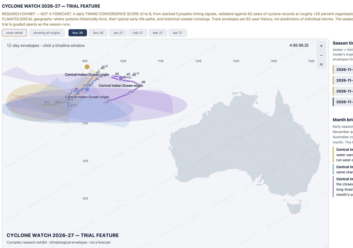
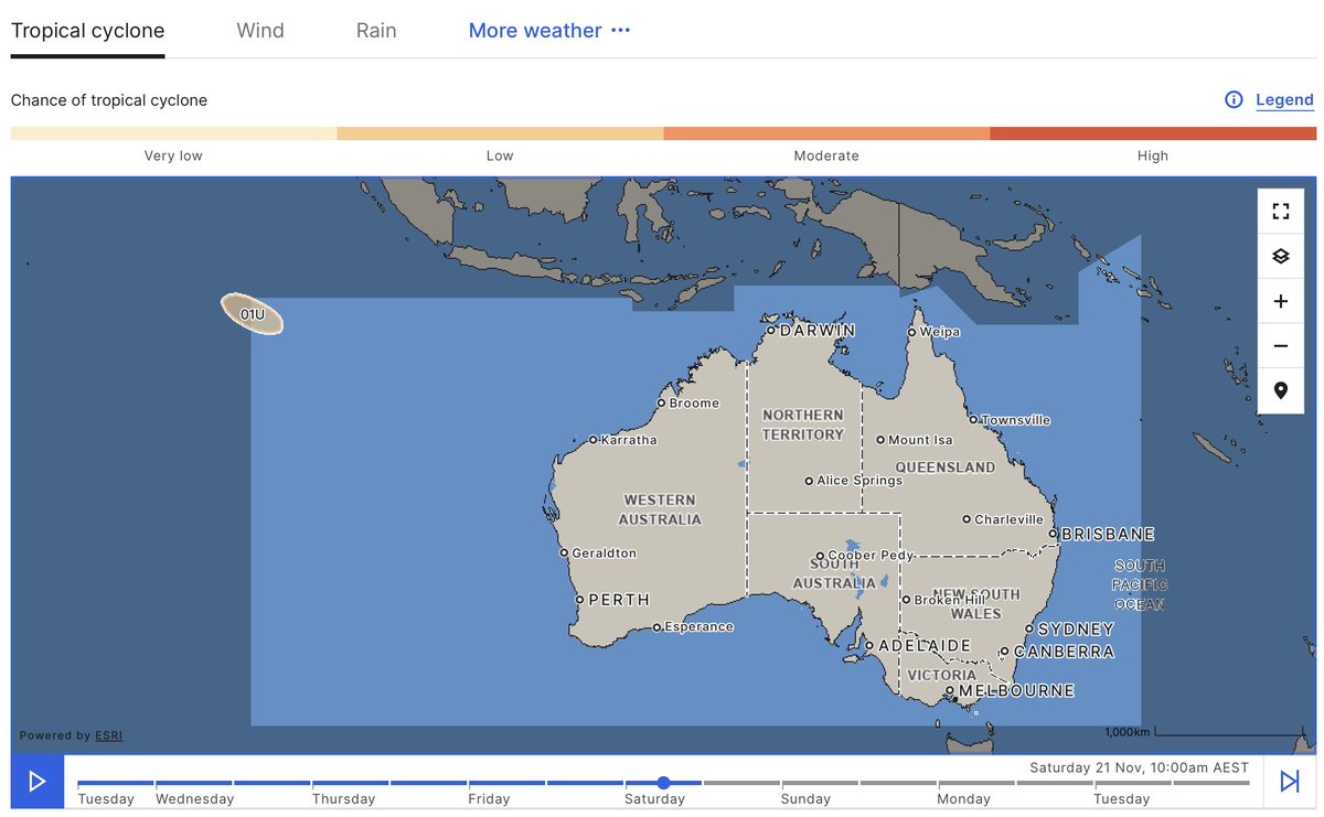
The Bureau of Meteorology has tagged Tropical Low 01U, around 1,150 km northwest of the Cocos Islands. A weak system at this stage, expected to track south this week before potentially turning southeast into the far northwest of the Australian region by the weekend. The Bureau places development odds at Low, 5 to 15 percent, from Friday through Monday.
Cocos is not expected to be directly affected.
Why this matters to us. Earlier this season we sealed and publicly timestamped our Cyclone Watch trial: origin zones, historical track corridors, and a daily timing convergence score for the 2026-27 season, all locked before any system existed. 01U has formed in the Central Indian Ocean origin zone the trial carries, and its development window runs straight into the trial’s strongest flagged timing spike of the month. The Bureau’s track guidance follows the same historical corridor our envelopes show toward the far northwest.
We want to be precise about the claim. One system does not grade a season, a weak low is not a cyclone, and the trial is scored openly as the season runs, hit or miss. This entry is simply data point one, registered in our claims ledger with its grading date already set. The release timestamp sits in the pinned post on our Facebook page, because the integrity of a test like this rests on everything being on record first.
Forecasting at this range is widely considered impossible. We think the honest way to challenge that is not argument but receipts: seal the forecast, publish the timestamp, grade the outcome in public.
This is what innovation looks like.
The feature remains in trial and is not yet open to members. It earns its place on the platform the same way everything else here has, by being graded.
Cynoptec - Know the Future™
Why do growers need to be aware of biosecurity risks at farm level?
Reporting that pest you see on farm, or even at a local shop could prevent the entire industry from huge impacts.
Another afternoon of spring thunderstorms on the East Coast, but the bigger story is what’s building behind it.
Heat moves through the interior and into the southeast around the 21st. This is the pre-charge our long range forecast flagged.
Late November: a broad inland trough draws tropical moisture in, bringing widespread storms from the NT and Kimberley through to SA. Severe storms are likely along the classic November arc from the Top End through QLD and NSW into VIC.
8 to 14 December: the first tropical-type signal shows up in the Gulf and Arafura region, with a wet period across the northern interior that could rival late October in terms of totals.
Late December: the first likely tropical system, with the monsoon arriving by early January 2027. That’s when daily totals of 200 to 300 mm become possible across the Top End and North Queensland.
Spring is winding down in the south.
The real wet season is about to start up north.
Full long range outlook: link in the comments.
Know the Future™
#Cynoptec #Weather #LongRangeForecast #WetSeason #Monsoon #Thunderstorms #AusAg
TOP 10 RAINFALL NATIONALLY, 23 HOURS TO 8AM TUESDAY
The east coast owned the gauges overnight. Live totals from the Bureau network this morning:
Yandina Creek QLD 107mm
Wahpunga Lane (Kin Kin) QLD 93mm
Williamtown RAAF NSW 83mm
Coolum West QLD 83mm
Poona Dam QLD 75mm
Toormina (Coffs Harbour) NSW 72mm
Doonan Creek QLD 66mm
Maroochy Intake Weir QLD 66mm
Belrose (Sydney) NSW 63mm
Alstonville NSW 58mm
Two engines, one night. Slow moving storms sat over the Sunshine Coast hinterland and dropped 100mm plus between Yandina and Coolum while the Noosa hinterland went better than 90. Further south a coastal convergence zone soaked the Hunter, Williamtown RAAF the pick at 83mm and totals of 50 to 55 right through the Barrington foothills, Coffs at 72 and Sydney’s northern suburbs into the 60s.
Meanwhile the heat dome is loading over the interior for the 21st and 22nd, with the east’s next major shift queued behind it. Members have had both on the calendar for months.
Full forecast and member update on the website.
Cynoptec - Know the Future™
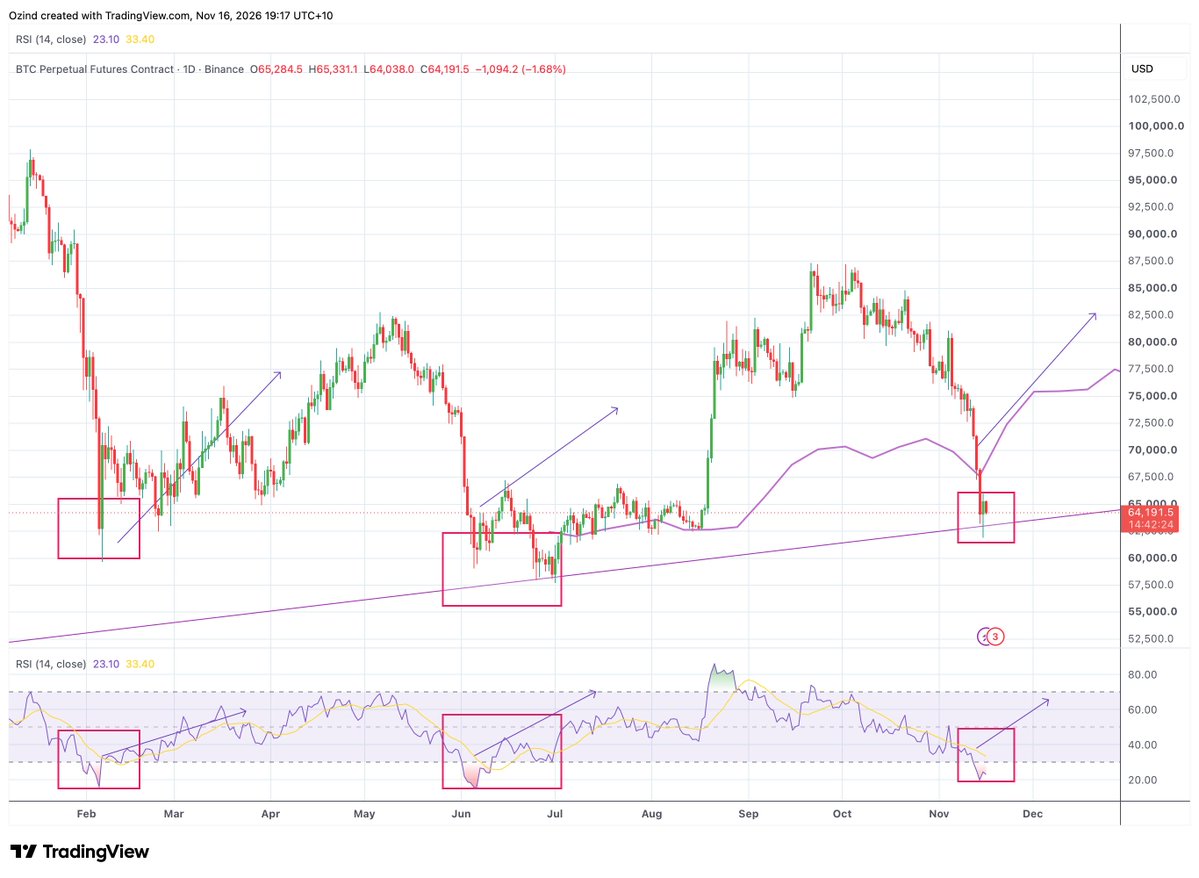
Markets follow quite repetitive patterns.
Couple these patterns with known time cycles and a bounce becomes a reversal, a reversal becomes a new trend and a new trend becomes a new market cycle.
Bottoms up 📈
#bitcoin
Australia's thunderstorm pattern could become more widespread from around 20 November.
Cynoptec is tracking developing storm activity across multiple states and districts after weeks of isolated thunderstorms.
Stu explains the outlook.
#Cynoptec#AustralianWeather
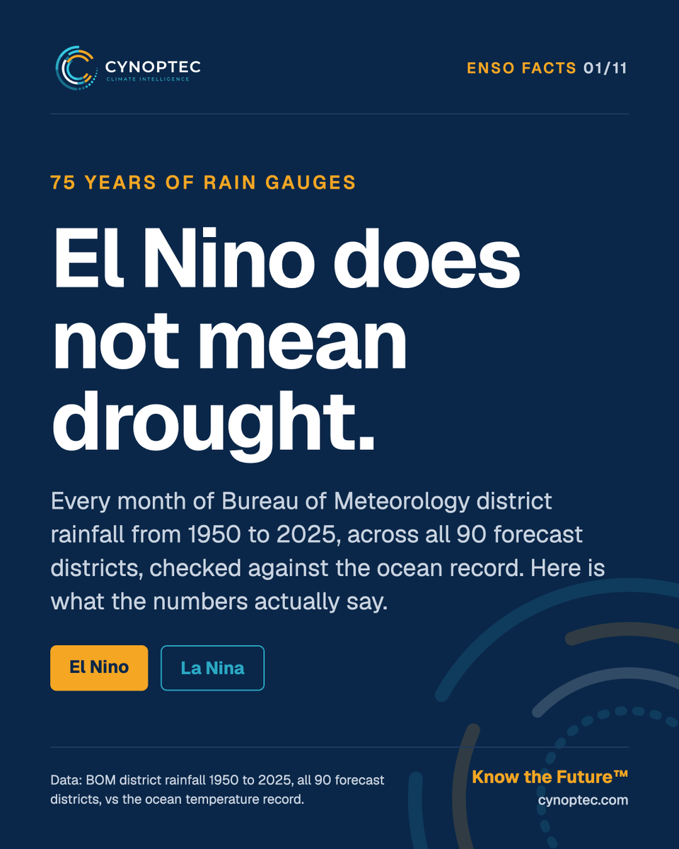
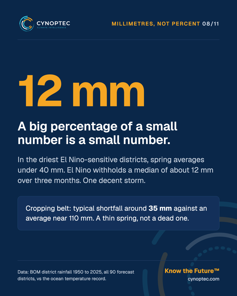
El Nino does not mean drought.
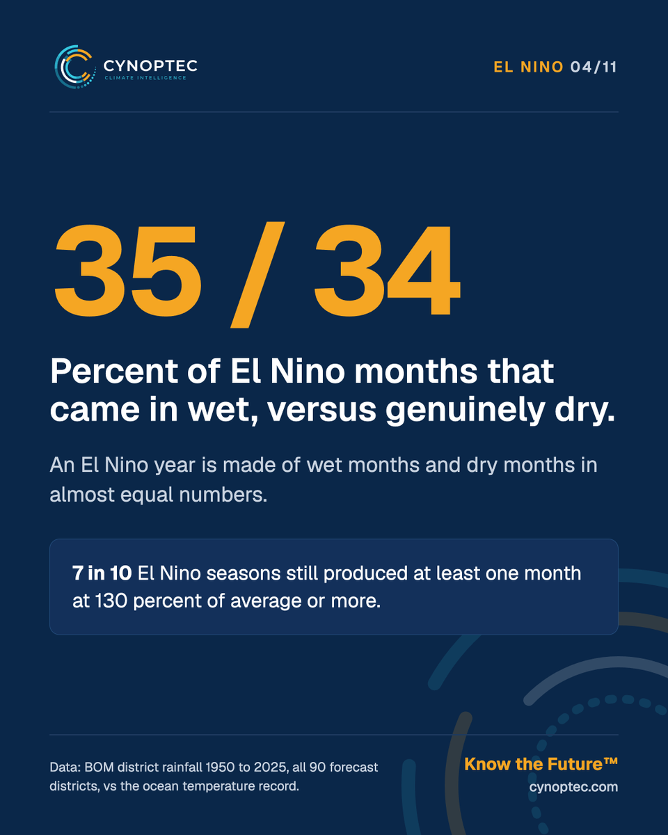
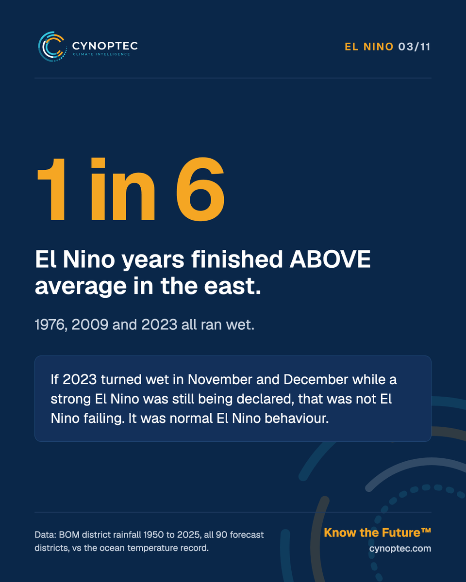
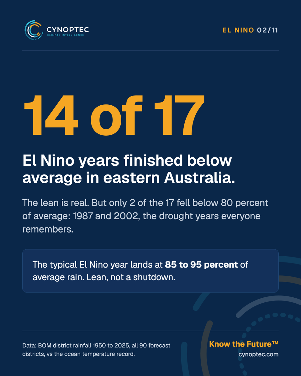
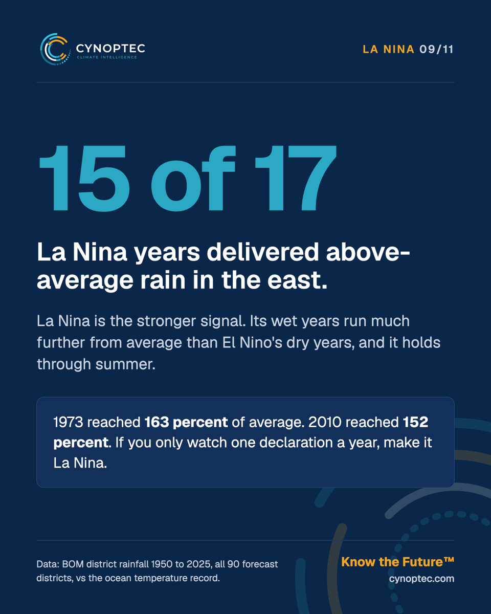
We checked 75 years of BOM rain gauges across all 90 districts. 14 of 17 El Nino years ran below average in the east, but only 2 were true droughts. One in six ran wet.
Cynoptec - Know the Future™
YOUR LONG RANGE SUMMER SEVERE WEATHER RISK WINDOWS ARE HERE
Exclusive to Cynoptec
DECEMBER HIGH ENERGY PERIODS
2nd to 5th: East coast and northern tropics
8th to 14th: Tropics, with tropical low risk, plus the eastern interior
Week four: Monsoon onset, with tropical low risk in the Joseph Bonaparte Gulf
JANUARY TROPICAL LOW AND MONSOON
To the 11th: Wet period for the Top End and Gulf
16th to 19th: Tropical system risk for the Kimberley and Pilbara
17th to 27th: Wet period for the northwest and southern interior
If you’re mustering, harvesting, moving machinery, running a mine site, or managing a response team, these are the dates to plan around before they arrive.
Which window hits your patch hardest? Tell us your region in the comments.
Members get the full long range breakdown, district detail and updates as each period approaches. Link in the comments.
Cynoptec - Know the Future™
Thunderstorms could develop rapidly across south-east QLD and north-east NSW this afternoon.
Locally intense storms and highly uneven rainfall are possible as moisture moves in from the Tasman Sea.
Watch the radar and check official warnings.
#Cynoptec#QLDWeather
Severe thunderstorms forecast across WA's eastern interior today.
Gusty winds, possible hail and localised heavy rainfall are among the risks, with activity extending towards southern NT and north-western SA.
Stu explains the outlook.
#Cynoptec#WAWeather
The next phase of the long range forecast is well underway with heat anomies expected to peak by ~21st November.
Long range forecasts extend to December 2027
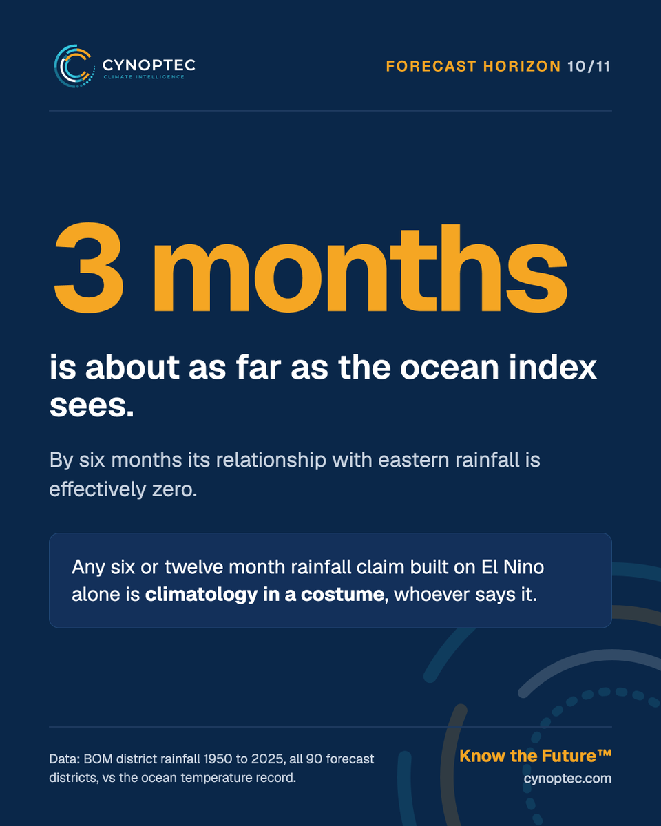
We just published the numbers: in 75 years of Bureau rain gauges, only 2 of 17 El Nino years produced a genuine drought in eastern Australia. Three finished wetter than average. And 7 in 10 El Nino seasons still delivered at least one month at 130 percent of normal or more.
Why does that matter this week? Because 2026 is living it in real time.
A very strong El Nino is running in the Pacific right now. The headlines say dry. Meanwhile the west of the continent is tracking well above its normal, the east took a soaking in late October, and our November sequence now moves into its main act: a broad severe storm outbreak from 25 November running NT to NSW into early December.
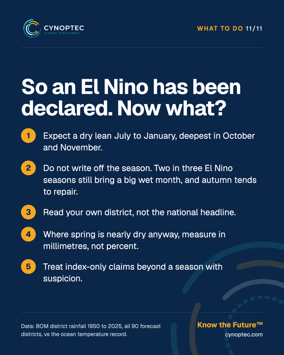
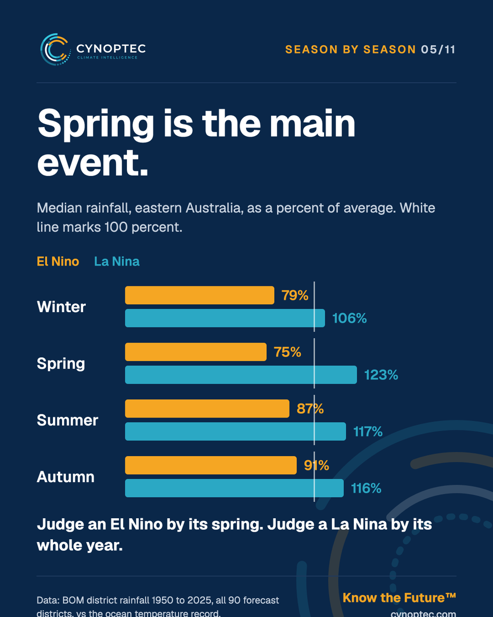
That is exactly what the record says a declared El Nino looks like from the inside: a lean, punctured by the big months that matter most.
The index tells you the season’s lean. Today’s member update tells you the week that breaks it: timing, districts and the outbreak behind it.
Stay tuned..
Cynoptec - Know the Future™
A very strong El Nino is running right now. The headlines say drought. The rain gauges say otherwise.
In this week’s member update we put 75 years of Bureau rainfall on the table: only 2 of 17 El Nino years produced a genuine drought in the east, three finished wet, and 7 in 10 El Nino seasons still delivered at least one month at 130 percent of average or more.
Then we show you what that means in terms of the forecast: the heat peaks nationally from week four of November, and behind it comes the month’s main act, a broad severe storm outbreak running NT to NSW into early December.
The index gives you the lean. The update gives you the week that breaks it.
Full video and district maps live now for members - link in the comments
Cynoptec - Know the Future™