Geo evangelist, interested in the use of GI to improve the analysis and flow of data to information to informed knowledge. Opinions are my own not my employer's
In advance of COP26, we’ve collaborated with the Met Office to create a comprehensive set of free teaching resources to engage young people in UK climate change and the impact on their local area. https://t.co/MmbkhYB9PX
#cop26#metoffice#metofficelearn
Are you an #ArcMap user? Take advantage of our upcoming webinar to learn more about the benefits of #ArcGIS Pro and how you and your organisation can make a seamless transition into a new generation of desktop #GIS: https://t.co/1fjBMKgh5o @ArcGISPro
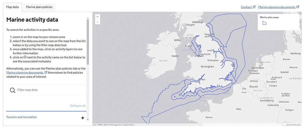
Read our latest case study with the @The_MMO to find out how a digitised, map-first approach is assisting anyone needing to use or apply marine plan policies around England’s incredible coastline: https://t.co/H7WeErAc4W #ArcGIS#MarinePlanning
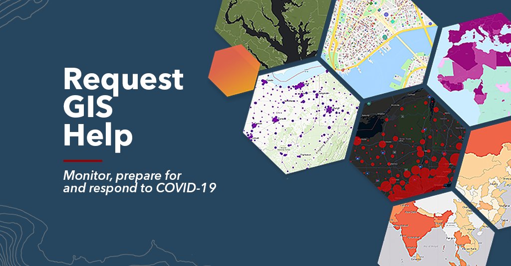
Free resources, and a pool of #GIS volunteers, are available if your organisation’s GIS capacity is exceeded in tackling #COVID19. You can request more support from our Disaster Response Program here: https://t.co/3bo7tp7Jxz
To support online learning through the latest #lockdown measures, we are releasing a new Digital Schools Atlas Collection that is free for all schools. This can be accessed on any device by students anywhere, anytime: https://t.co/0l9waaiM4X #GeographyTeacher#RemoteLearning
Interested in a career in geospatial tech? Join us for our #GISDay careers event to hear from our current and recent grads, plus a few others and get a head-start on applying to the 2021 Grad Scheme: https://t.co/fFV8EhdHMf
Read about a new #ArcGIS solution developed by @FeraScience to help Government agencies and landowners react quickly to the threat of a potential plant disease pandemic: https://t.co/J7MuaRWByG
We're showcasing how @AlcisGeo is making a difference in the real world with their incredible spatial #datascience work with #ArcGIS in our upcoming webinar. Register now: https://t.co/V2FOCruclA
📣 We are 1️⃣ week away from the virtual National Land Conservation Conference, hosted by @LandTrustAlliance. Our conservation team is eager to meet with you❕ Check out conference details here 👉 https://t.co/qpMTezpwWT
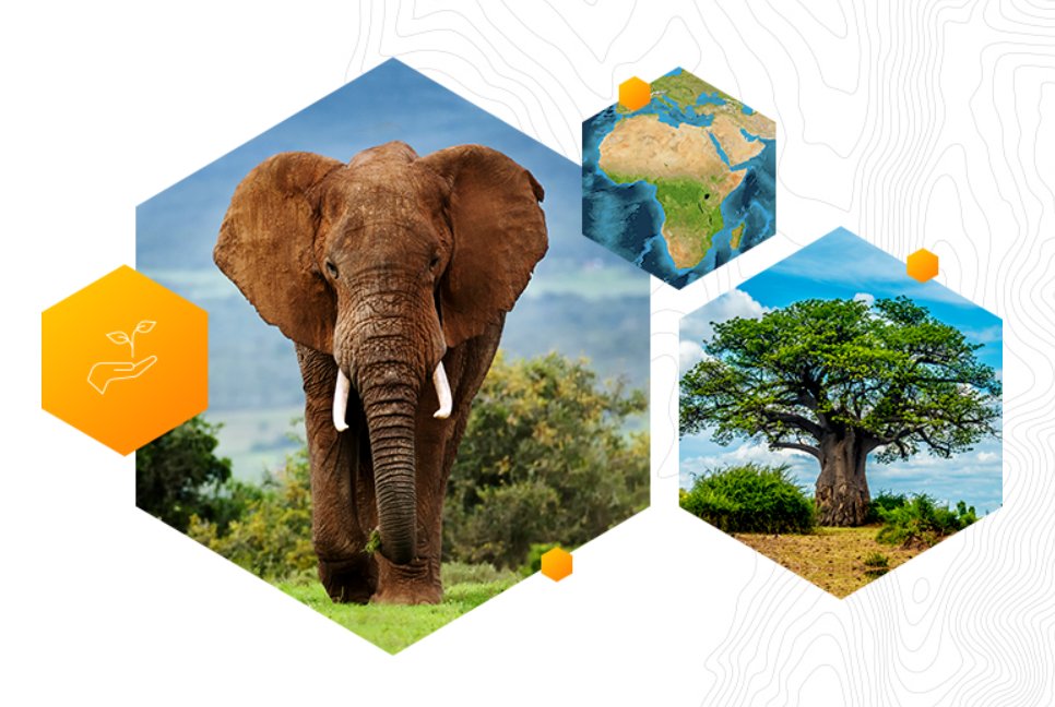
Have you heard about our Esri Conservation Grant program yet? 🌍
.
.
This program is designed to offer discounted to free access for @Esri software related to environmental conservation. The program is available for all to apply too.
.
.
Apply here 👉 https://t.co/KkhUaA8nvw
Location intelligence is key to understanding national and local patterns in health. We will be joined by Trevor Foster from @NHSscw to discover how this has been essential during #COVID19. Register here: https://t.co/BdGR5IVWki
We are thrilled to announce the Essex Beavers have given birth to two healthy kits😍
They will work alongside Mum & Dad to reduce flood risk in Finchingfield
Read more: https://t.co/5wKug52hU6
@arugglesbrise @spainshall @37squadron@EssexSuffolkRT@EssexWildlife
Please watch this video.
It answers so many of the questions that I've had recently and seen from people on my social media.
Watch it. Listen. Take it in and continue to educate yourself.
We are very excited to announce the release of our new #StoryMap with more information than before about how our #remotesensing and #GIS activities help support the #EA to create a better place for people and wildlife. Find it here: https://t.co/iVSp3JITCV #OpenData#LIDAR#DEFRA
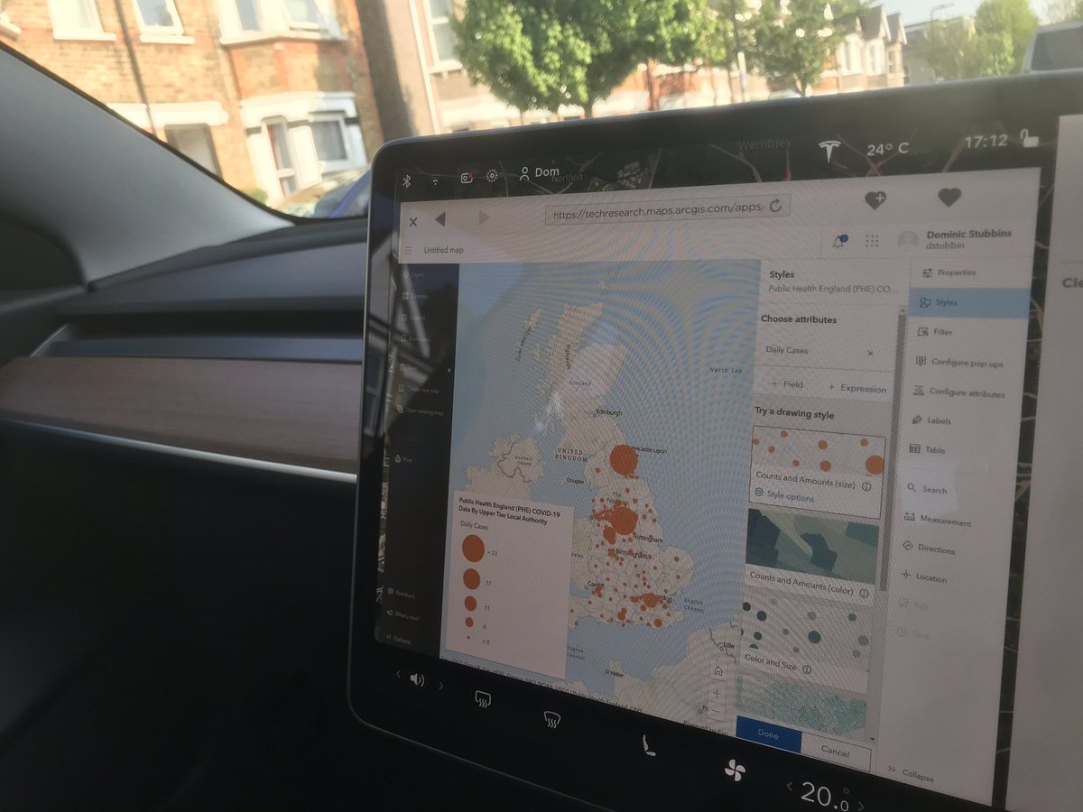
While I may not have been able to drive my new fully #electricvehicle yet while it’s been sitting unused outside in #lockdownuk I can at least test the new beta of the @ArcGISOnline mapviewer on the built in browser
The #GeospatialCommission and the Government Geography Profession have put together an interactive #homeschooling newsletter for all ages. https://t.co/MQs8c07ZrU
So delve into the wonderful world of #geography and see how it fits in with #geospatial#data - have fun.