Soil hydrologist @UVI_edu. Interests in ecohydrology & agroecology. I work on water security in small tropical islands w limited resources. PhD student @AuburnU
We've created the largest daily streamflow database comprising 30,000 stations with catchment boundaries, climate/soil/topo attributes, and daily meteorological time series for 20+ variables. Valuable resource for exciting new research! DM myself or @AtrCheema to access it.
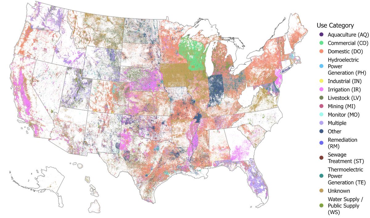
We introduce the United States Groundwater Well Database (USGWD), which contains 14.2+ million use and monitoring wells across the US. 1/9
Paper: https://t.co/H8bMJbBkgL
Data: https://t.co/wdNX2yyhiY
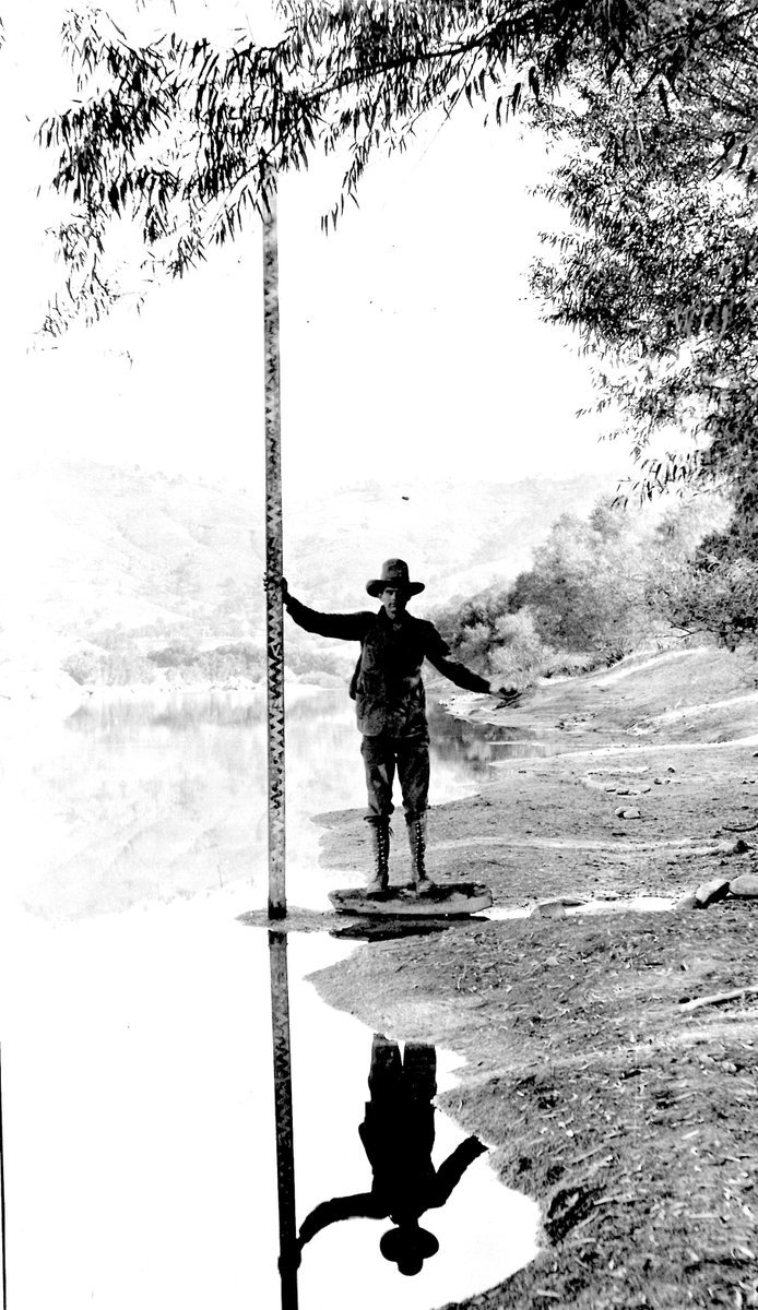
In celebration of #NationalSurveyorsWeek we are sharing instruments used in our early mapping history.
Topographic mapping is still a central activity for USGS. The topographic map remains an indispensable tool for government, science, industry, and leisure. 🏛️🔬🏭🌲 #TBT
Mar 1: It was wet in the U.S. Virgin Islands this month. In fact, the weather station at Henry E. Rohlsen Airport registered the wettest February on record, with 4.94". The old record was 4.86" from 2022. #usviwx
Historic February rains continue. Looks like I have to break out the waders for some emergency streamflow measurements! Wasn’t expecting this at this time of year 😤 @NWSSanJuan
11:45 AM FEB 25
Shower activity already started across most of the interior sections of PR.
La actividad de aguaceros se desarrollaron a través del interior de PR. #prwx
🥶Temperaturas mínimas reportadas por nuestros observadores cooperativos.
¿Como estuvo la temperatura en tu área?
☃️Minimum Temperatures reported from our COOP stations.
How was the temperature in your area?
#prwx#usviwx
I love getting to work in small streams and having fieldwork to see how they change throughout the seasons
and even though salt slugs aren't everyone's favorite field activity, I think sitting and listening to the stream go by is pretty fun too