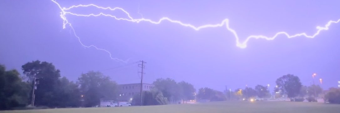
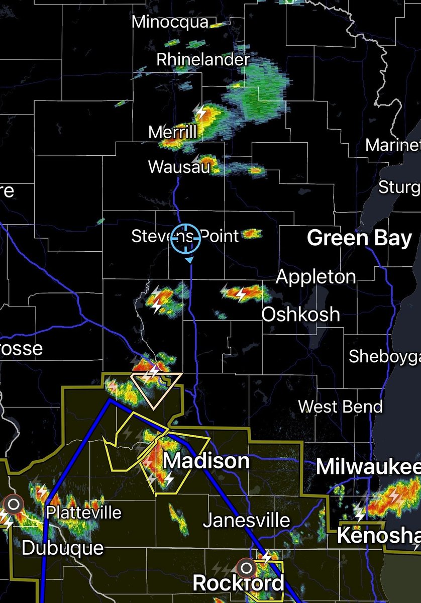
HRRR model still shows storms developing and moving through much of the area late afternoon and tonight. Still some storms could be severe over MN and western WI. Those in central Wisconsin could wake up in the middle of the night to lightning and thunder.
Upgraded severe risk for Thursday! SPC (Storm Prediction Center) now has a slight risk of severe storms from NW WI extending SW into Nebraska. The Twin Cities is in this threat. Not looking at a widespread severe weather outbreak but severe weather is possible.